The best running trails around Blauvac
4.3
(195)
5,166
runners
321
runs
Jogging around Blauvac offers a diverse landscape for runners, characterized by its varied terrain including valleys, gorges, and historical paths. The region features a mix of natural and cultural elements, providing engaging running experiences. Elevation changes are common, with routes traversing both lower valleys and higher ground, offering a good workout for different fitness levels.
Best jogging routes around Blauvac
- The most popular jogging route is La combe de l’Ermitage, an 8.6 miles (13.9 km) trail that takes 1…
Last updated: September 28, 2026
25
runners
12.2km
01:40
470m
470m
Hard run. Very good fitness required. Mostly paved surfaces. Suitable for all skill levels.
4.3
(4)
24
runners
8.58km
01:02
230m
230m
Moderate run. Good fitness required. Mostly paved surfaces. Suitable for all skill levels.

3
runners
7.68km
00:51
170m
170m
Moderate run. Good fitness required. Mostly paved surfaces. Suitable for all skill levels.
5
runners
8.77km
01:00
220m
220m
Moderate run. Good fitness required. Mostly paved surfaces. Suitable for all skill levels.
2
runners
18.3km
02:19
550m
550m
Hard run. Very good fitness required. Mostly paved surfaces. Suitable for all skill levels.
Get access to more routes and recommendations from other explorers.
Already have an account?
Our route recommendations are based on thousands of hikes, rides, and runs completed by other people on komoot.
Start today with a free account
Your next adventure awaits.
Tips from the Community

The descent from the Col to Méthamis is super beautiful 🤩
0
0

Pleasant climb, surface mostly good, the holes are visible uphill but early enough and you usually don't go that fast ,-)
1
0

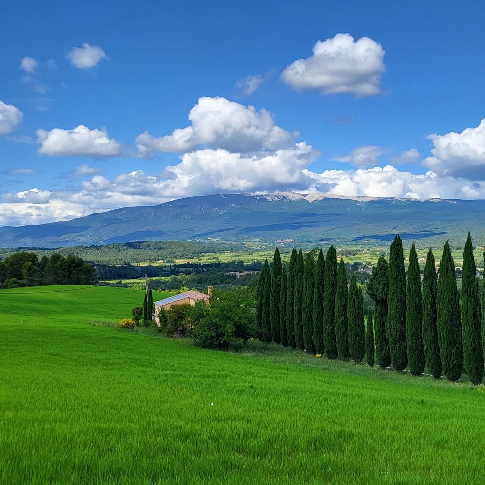
Magnificent view of the Ventoux and the village of Méthanis
0
0


These structures were built in various sizes - from a simple shelter for a shepherd to "bories" with several rooms (e.g. Village de Bories in Gordes).
2
0
A visit to this small village is worth it because of the “atmosphere”.
0
0

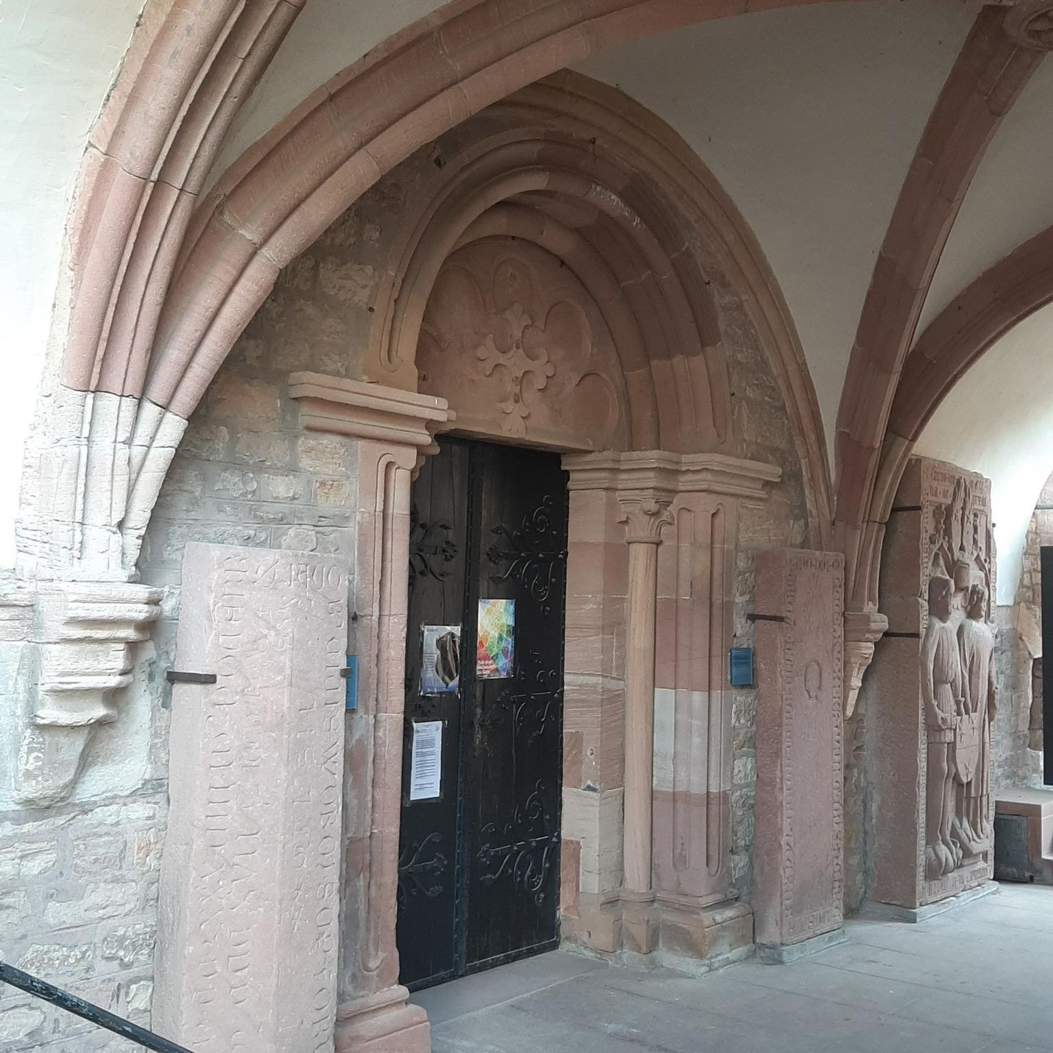
Located on a rocky promontory at an altitude of 380 meters, the village of Méthamis faces the Nesque gorges to the east and Mont Ventoux further north. Its imposing 12th century church dominates the village.
0
0
Frequently Asked Questions
How many running routes are available around Blauvac?
Blauvac offers a wide selection of running routes, with over 290 trails available. These routes cater to various preferences, from gentle jogs to challenging long-distance runs.
What are the difficulty levels of running trails in Blauvac?
The running trails around Blauvac feature a diverse range of difficulty levels. You'll find 22 easy routes perfect for a relaxed run, 147 moderate trails for a good workout, and 126 difficult routes for those seeking a significant challenge with considerable elevation changes.
Are there any easy jogging routes for beginners in Blauvac?
Yes, Blauvac has 22 easy running routes suitable for beginners or those looking for a less strenuous jog. These trails typically have gentler inclines and shorter distances, allowing for a comfortable introduction to running in the region.
Can I find circular running routes in Blauvac?
Many of the running routes in Blauvac are designed as circular paths, allowing you to start and finish at the same point. For example, the Méthamis Village loop from Méthamis is a moderate 8.5 km (5.3 miles) circular route that offers a scenic experience.
Are there long-distance running trails for experienced runners in Blauvac?
Absolutely. For experienced runners seeking a challenge, Blauvac offers several long-distance trails. The Villes-sur-Auzon – Nesque Gorge loop from Villes-sur-Auzon is a difficult 35.4 km (22.0 miles) route through the stunning Nesque Gorge, providing a significant endurance test.
What kind of elevation can I expect on Blauvac's running trails?
Running trails in Blauvac often feature varied terrain with notable elevation changes, reflecting the region's valleys and gorges. For instance, the challenging La combe de l’Ermitage route includes over 400 meters (1,300 feet) of ascent and descent over its 13.9 km (8.6 miles) length.
Are the running routes in Blauvac suitable for families?
While many routes in Blauvac involve elevation, there are easier options that families can enjoy. Look for the 22 routes classified as 'easy' for more family-friendly jogging experiences, which typically have less challenging terrain and shorter distances.
What interesting natural sights or landmarks can I see while running near Blauvac?
Blauvac's running routes often pass by fascinating natural and historical landmarks. You might encounter natural monuments like the Bédoin Fairy Chimneys or explore historical paths such as those near Le mur de la Peste (the plague wall). The region is also known for its scenic gorges and mountain passes.
Where can I park when accessing running trails in Blauvac?
Parking availability varies by trailhead. Many routes, especially those starting from villages like Villes-sur-Auzon or Méthamis, will have designated parking areas nearby. It's advisable to check the specific route details on komoot for parking recommendations at your chosen starting point.
What do other runners say about the trails in Blauvac?
The running trails in Blauvac are highly regarded by the komoot community, boasting an average rating of 4.4 out of 5 stars from over 120 reviews. Runners frequently praise the diverse landscapes, the mix of natural and cultural elements, and the challenging yet rewarding terrain.
What is the best time of year to go running in Blauvac?
The spring and autumn months generally offer the most pleasant conditions for running in Blauvac, with milder temperatures and beautiful scenery. Summer can be hot, so early morning or late evening runs are recommended, especially on shaded routes. Winter can be cool but often clear, making it suitable for running if you're prepared for the weather.
Are there shaded running routes for warmer days in Blauvac?
Given the Mediterranean climate, finding shaded routes is beneficial during warmer periods. Many trails in Blauvac traverse wooded areas and valleys, offering natural shade. When planning your run on a hot day, look for routes that follow riverbeds or pass through forests to maximize your time in the shade.
Most popular attractions around Blauvac

Get inspired with the komoot mobile app


Explore more
Browse the best Running Trails & Routes in other regions.
