The best road cycling routes around Saint-Malo-De-Guersac
4.2
(243)
6,174
riders
370
rides
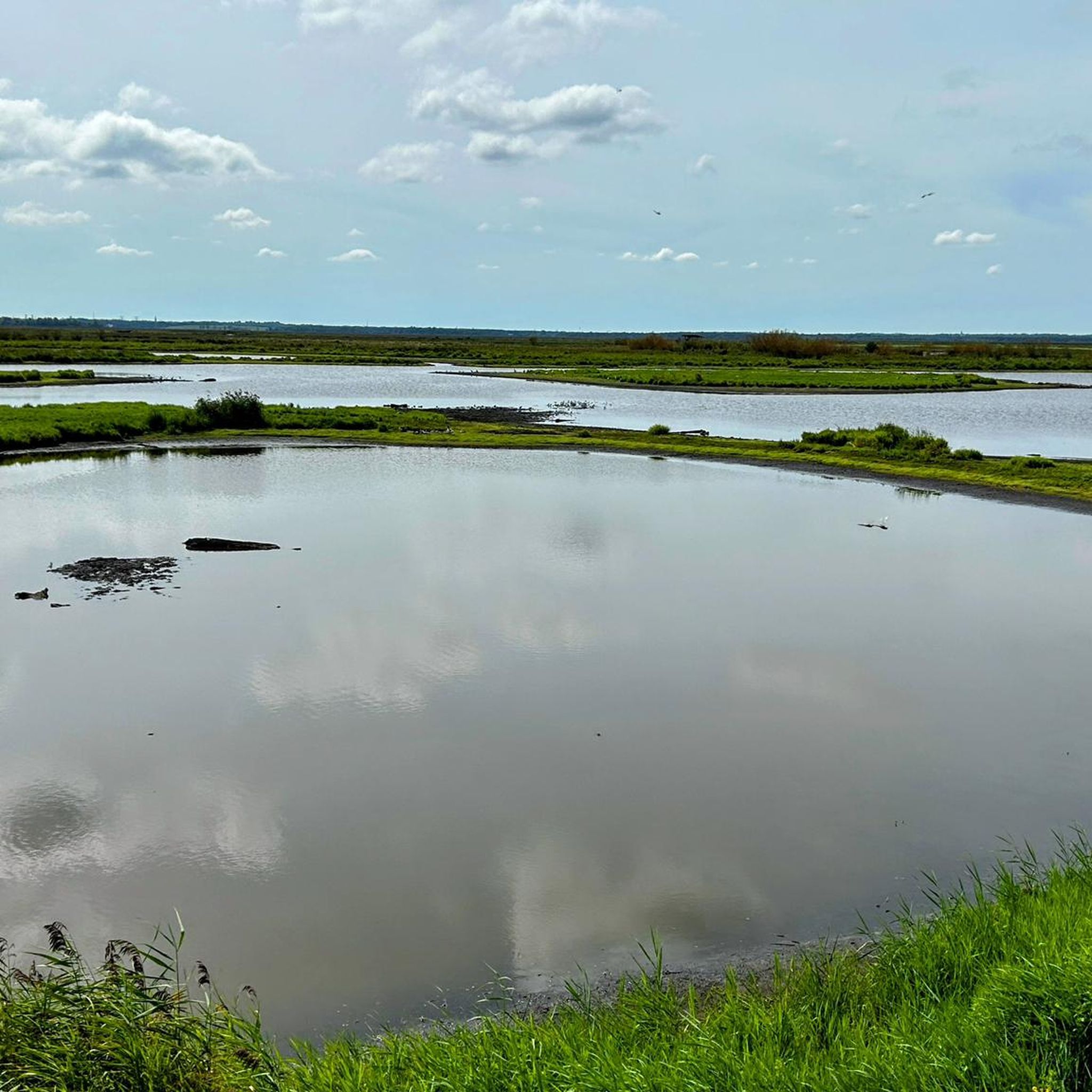
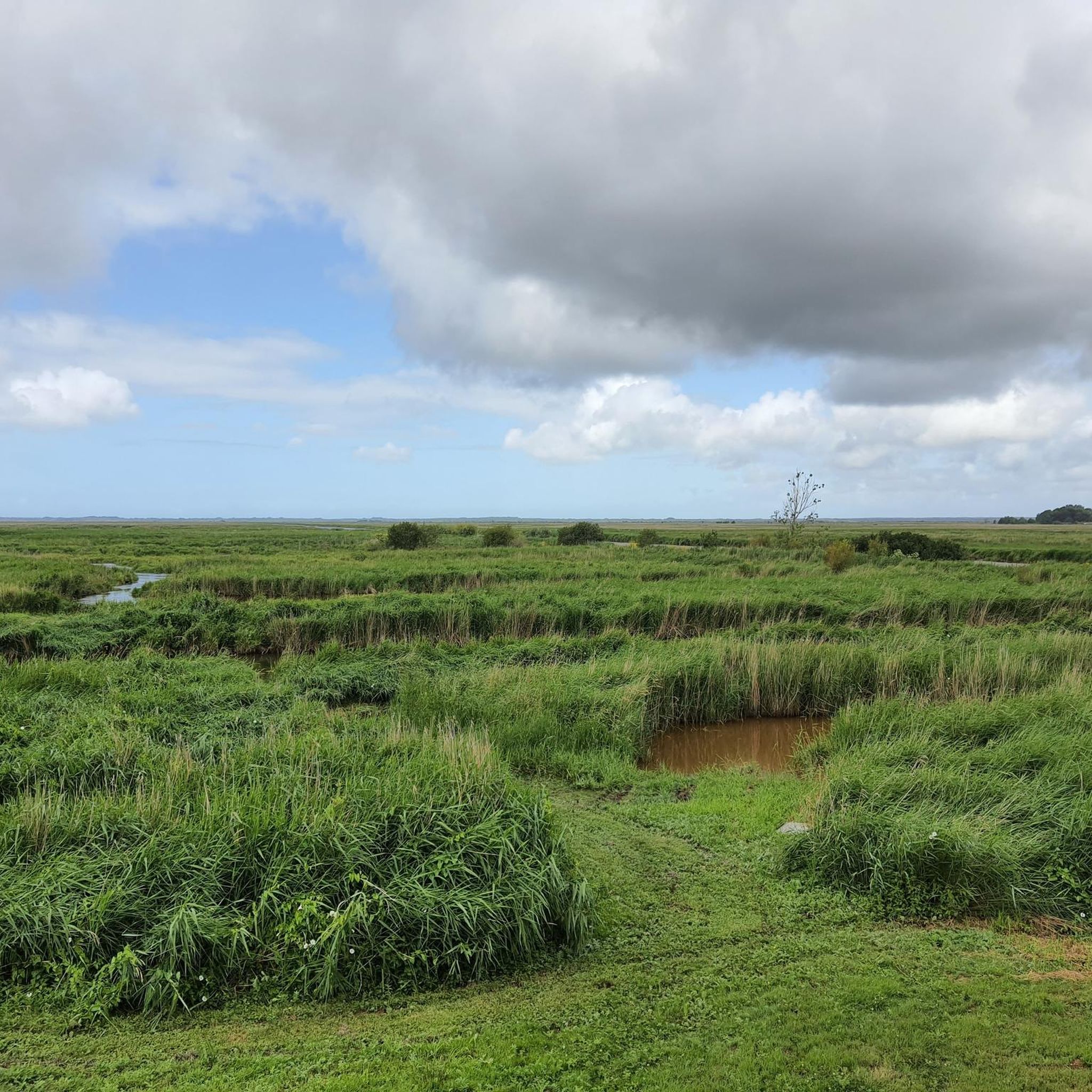
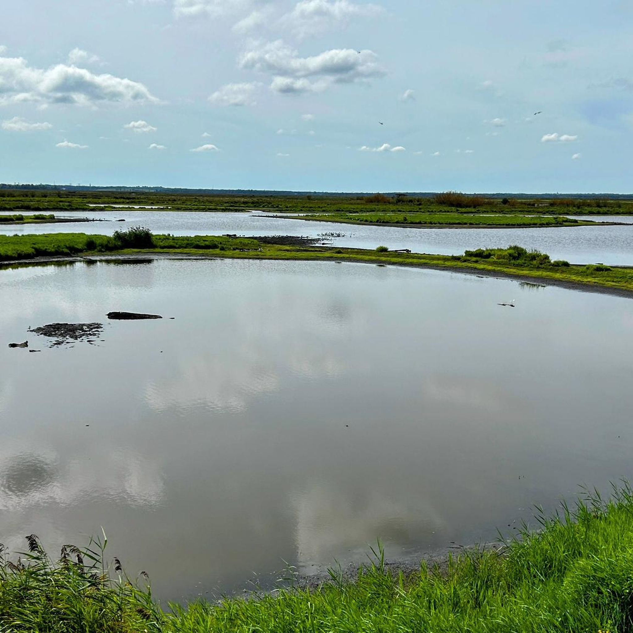
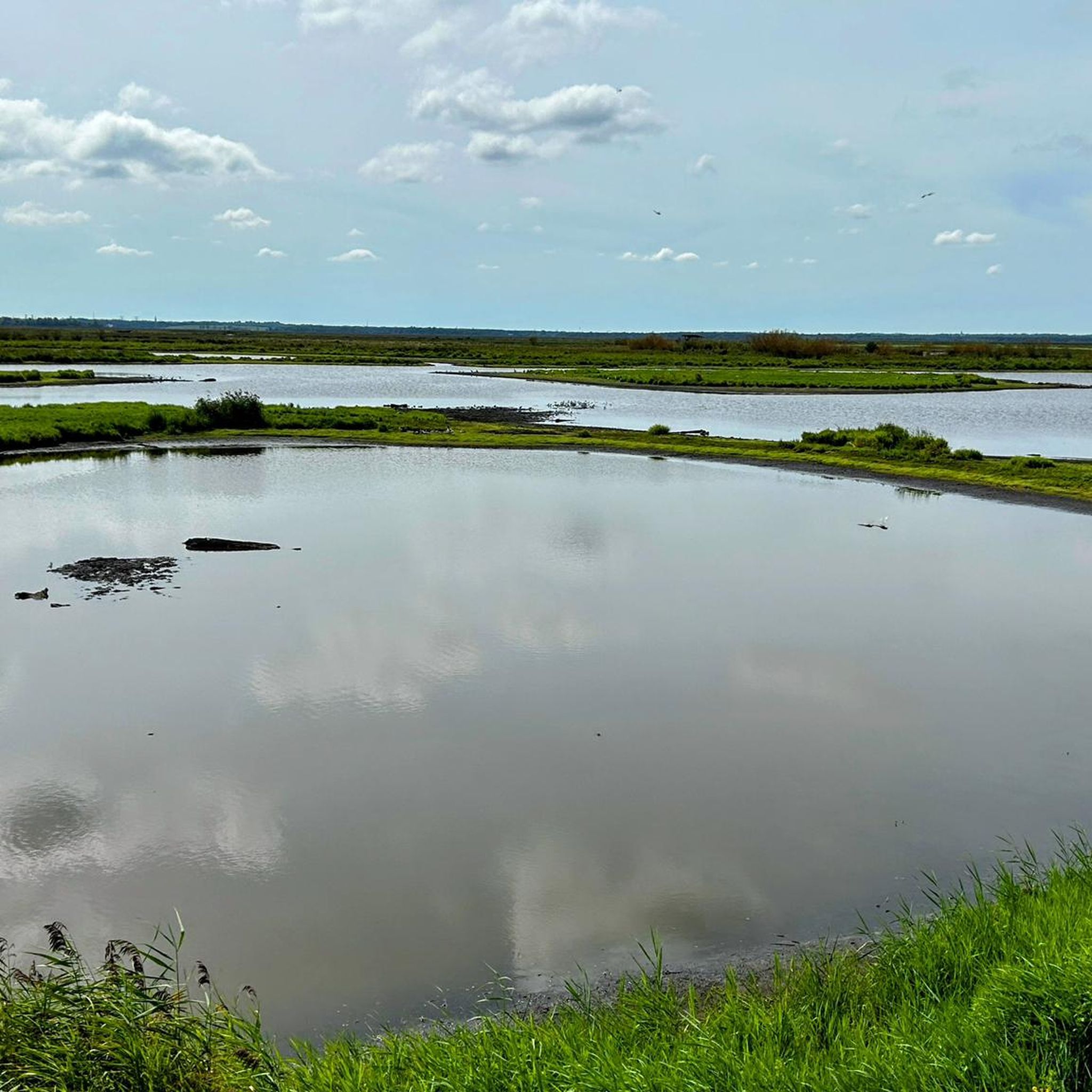
Road cycling routes around Saint-Malo-De-Guersac are primarily situated within the Brière Regional Natural Park, an expansive marshland characterized by an intricate network of canals, reed beds, and grasslands. The terrain is generally flat, with gentle elevation changes, making it suitable for various fitness levels. Cyclists can explore the unique man-made landscapes and tranquil water bodies that define this region. The area offers a serene environment for road cycling, with routes often passing through picturesque villages and natural reserves.
Best road…
Last updated: November 11, 2026
4.6
(5)
138
riders
50.7km
02:08
200m
200m
Moderate road ride. Good fitness required. Mostly well-paved surfaces and easy to ride.
4.9
(10)
95
riders
32.5km
01:18
60m
60m
Moderate road ride. Some segments of this route may be unpaved and difficult to ride.

5.0
(1)
61
riders
95.6km
03:59
290m
290m
Moderate road ride. Good fitness required. Some segments of this route may be unpaved and difficult to ride.
5.0
(2)
37
riders
80.6km
03:21
260m
260m
Moderate road ride. Good fitness required. Some segments of this route may be unpaved and difficult to ride.
3.4
(7)
27
riders
26.9km
01:09
40m
40m
Easy road ride. Mostly well-paved surfaces and easy to ride.
Get access to more routes and recommendations from other explorers.
Already have an account?
Our route recommendations are based on thousands of hikes, rides, and runs completed by other people on komoot.
Start today with a free account
Your next adventure awaits.
Tips from the Community

Superb, but very crowded. Ideally, do it off-season and during the week.
0
0
This rather improbable monument in its location commemorates the landing of American troops in Saint-Nazaire during the First World War.
0
0

A very pleasant crossing of the Loire, especially by bike or on foot. You can take the time to observe the abundant wildlife during the navigation.
0
0

The triple lock of Les champs neufs, located in Frossay on the Canal de la Martinière, is a masterpiece of 19th-century river engineering: * A cascade crossing: Unlike a simple lock, this structure comprises three consecutive chambers that allowed ships to compensate for the difference in level and effectively regulate water flow between the Loire estuary and the canal. * The steam machinery: Right next to the chambers stands the stone building of the La Machinerie du canal, which once housed imposing steam pumps responsible for maintaining the canal's water level constant for commercial navigation. * Heritage and promenade: With its lock gates, metal bridge, and preserved period mechanisms, it is one of the most spectacular and instructive stopping points on the route along the banks.
1
0
A remarkable engineering work inaugurated at the end of the 19th century to maintain maritime navigation towards Nantes, the Canal de la Martinière stretches its 15 kilometers parallel to the Loire estuary. Lined with period machinery, imposing locks, and natural bird reserves, it is today a prime spot for walking, fishing, and cycling on the Voie Verte. The site also hosts the contemporary artwork Misconceivable (the "soft boat") from the Estuaire trail.
0
0
This 19th-century church pays homage to the Anglo-Saxon hermit monk Vital, who lived in a cave in the rock beneath the church. Vital is the origin of the village of Saint-Viaud and gave it its name (Viaud = Vital).
0
0
Frequently Asked Questions
How many road cycling routes are available around Saint-Malo-De-Guersac?
There are over 360 road cycling routes around Saint-Malo-De-Guersac, offering a wide variety of options for exploring the Brière Regional Natural Park and its surroundings.
What kind of terrain can I expect when road cycling in the Saint-Malo-De-Guersac area?
The terrain around Saint-Malo-De-Guersac is generally flat, characterized by the expansive marshlands of the Brière Regional Natural Park. You'll encounter an intricate network of canals, reed beds, and grasslands, with gentle elevation changes, making it suitable for various fitness levels. Some routes may extend towards coastal areas, offering different views.
What do other cyclists say about road cycling in Saint-Malo-De-Guersac?
The road cycling routes in Saint-Malo-De-Guersac are highly rated by the komoot community, with an average score of 4.1 stars from over 190 reviews. Cyclists often praise the tranquil marshland scenery, the unique natural environment, and the well-maintained paths that allow for a serene cycling experience.
Are there routes suitable for different fitness levels?
Yes, the region offers routes for various fitness levels. While the majority of the 360+ routes are considered moderate, there are also over 90 easy routes for a more relaxed ride and 34 difficult routes for those seeking a greater challenge. The flat terrain of the Brière generally makes for accessible cycling.
What natural features or landmarks can I see while cycling near Saint-Malo-De-Guersac?
While cycling, you can explore the unique marshlands of the Brière Regional Natural Park, known for its rich biodiversity. Notable natural features include the Pierre Constant Site – Brière Marsh Nature Reserve, offering close-up views of flora and fauna. You might also pass by the Port of Bréca, a charming spot within the marsh.
Are there any specific viewpoints or scenic spots along the routes?
Absolutely. A prominent scenic spot is the Rozé Port and Viewpoint, which features a 24-meter-high belvedere offering outstanding panoramic views over the Brière wetlands. The Straw Bridge – Rozé Port and Viewpoint loop from Saint-Malo-de-Guersac specifically passes by this location.
Are there family-friendly road cycling options in the Brière Regional Natural Park?
Yes, the generally flat terrain and tranquil environment of the Brière Regional Natural Park make it suitable for family-friendly road cycling. Many routes are designed for leisurely exploration, allowing families to enjoy the unique landscapes and observe wildlife together. Look for routes marked as 'easy' for the most suitable options.
Can I bring my dog on road cycling routes in the Brière Regional Natural Park?
While the Brière Regional Natural Park is a natural haven, specific regulations regarding dogs on cycling paths can vary. It's generally advisable to keep dogs on a leash in protected areas to preserve wildlife. For detailed information on dog policies within the park, it's best to consult the official Brière Regional Natural Park website: Brière Regional Natural Park.
How can I access the Brière Regional Natural Park by public transport with my bike?
Accessing the Brière Regional Natural Park by public transport with a bike can be challenging as dedicated bike-friendly services might be limited. Some regional bus lines or trains connecting to nearby towns like Saint-Nazaire might allow bikes, but it's crucial to check their specific policies and schedules in advance. For general information on cycling in the region, you can refer to resources like France.fr.
Is parking available for cyclists near the routes in Saint-Malo-De-Guersac?
Yes, parking is generally available in and around Saint-Malo-De-Guersac, particularly near popular starting points for cycling routes and attractions like Rozé Port. Many villages within the Brière Regional Natural Park also offer designated parking areas, making it convenient to access the cycling network.
Are there any permits required for cycling in the Brière Regional Natural Park?
Generally, no specific permits are required for cycling on public roads and designated cycle paths within the Brière Regional Natural Park. However, always respect local regulations, especially when entering protected natural reserves like the Pierre Constant Site, where specific rules might apply to preserve the environment.
What is the best time of year for road cycling in Saint-Malo-De-Guersac?
The best time for road cycling in Saint-Malo-De-Guersac is typically during the spring (April to June) and early autumn (September to October). During these periods, the weather is usually mild and pleasant, with less rainfall and fewer crowds than in the peak summer months. The marshlands are particularly vibrant in spring, and autumn offers beautiful colors.
Are there options for circular road cycling routes?
Yes, many of the road cycling routes around Saint-Malo-De-Guersac are designed as circular loops, allowing you to start and end your ride in the same location. Examples include the Salines – Route du Dervin loop from Montoir-de-Bretagne and the La Baule Beach – La Baule Bay loop from Montoir-de-Bretagne, which offer diverse scenery without needing a return trip.
Do these routes connect to larger national cycling networks?
Yes, the region around Saint-Malo-De-Guersac offers connections to significant national cycling routes. You can link up with sections of the Vélomaritime (EV4) and the V42, which traverse varied landscapes including the Atlantic coast and follow rivers and canals. These connections provide opportunities for longer tours and exploring beyond the immediate Brière area.
Most popular routes around Saint-Malo-De-Guersac
Most popular attractions around Saint-Malo-De-Guersac

Get inspired with the komoot mobile app


Explore more
Browse the best Road cycling routes in other regions.
