The best walks and hikes around Courcelles
4.7
(108)
363
hikers
84
hikes
Hiking around Courcelles offers varied landscapes, including woodlands, agricultural fields, and areas featuring ponds and historical architecture. The region is characterized by generally gentle terrain, with some routes traversing rolling hills. Hikers can explore natural sites and rural settings, often encountering forests and open country.
Best hiking trails around Courcelles
- The most popular hiking route is Circuit de la forêt et de la fontaine Sainte-Radegonde, a 8.2 miles (13.2 km) trail that takes 3 hours 24 minutes to complete.…
Last updated: November 1, 2026
5.0
(2)
5
hikers
13.2km
03:25
70m
70m
Moderate hike. Good fitness required. Easily walkable paths.
4.7
(3)
14
hikers
7.21km
01:51
30m
30m
Easy hike. Easily walkable paths.

4.0
(2)
8
hikers
Moderate hike. Good fitness required. Easily walkable paths.
5.0
(1)
4
hikers
14.6km
03:46
70m
70m
Moderate hike. Good fitness required. Easily walkable paths.
6
hikers
3.20km
00:49
10m
10m
Easy hike. Easily walkable paths.
Get access to more routes and recommendations from other explorers.
Already have an account?
Our route recommendations are based on thousands of hikes, rides, and runs completed by other people on komoot.
Start today with a free account
Your next adventure awaits.
Tips from the Community

A huge magnifying glass on a plane tree
0
0

Very beautiful village which is definitely worth the detour. You can notably discover its castle, built in the 13th century under Philippe Auguste. Don't hesitate to dismount and take a walk in the pedestrian part of the village.
0
0

Amazing town of Pithiviers, the Saint Grégoire chapel cave, refuge of a hermit. The fortress of Yévre le Chatel [Located on a spur, at the limit of the territory of the Carnutes and the Senons, the oppidum protected a communication route, then two Roman entities after 52 BC. The site overlooked the Roman road from Sens to Le Mans. After the Christianization of Gallo-Roman Gaul, the Rimarde river was the border between the bishoprics of Sens, parish of Saint-Martin de Souville; and Saint-Lazare Leprosarium and the bishopric of Orléans, parish of Saint-Gault and Saint-Lubin. This division remained until the 19th century. Around 1200, on the orders of Philip Augustus, the castle was rebuilt according to the latest improvements in military architecture brought back from the Crusades, in particular relief arches increasing resistance to undermining work. a long history that you can discover on the websites. There is also a path to Saint Jacques The road to Saint-Jacques coming from Moret-sur-Loing From Moret, the Jacquets wishing to venerate the relics of Saint Mathurin went to Grez-sur-Loing, quickly reaching Larchant. From there, they headed towards Orléans to join one of the great roads of Saint-Jacques, that of Tours. do not forget Pithiviers le Vieille [Indeed, the village of Pithiviers-le-Vieil, located on the border of the Carnute and Sénon countries, is at the crossroads of the great Roman roads Orléans-Reims and Sens-Le Mans. A jewel of Gallo-Roman culture with its sanctuary made up of eight indigenous-type temples or fana, this place was frequented since Antiquity because of its curative springs in the Segray valley.
0
0
Beautiful peaceful pond, perfect for a break while hiking
0
0
Fountain whose origin is today unknown. She takes the name of Radegonde, the wife of Clotaire I (son of Clovis) and therefore queen of Franks, who, it seems, created this source with a kick of her heel.
0
0
Pond whose edges are a little steeper than its neighbor, the Étang à madame. You have to get away from it to be able to go around it completely. Pleasant nearby trails to run.
1
0
A private Louis XIII-style castle, it has a magnificent park crossed by the Egg, a river taking its source in the forest of Orléans and flowing into the Essonne. There is also an 18th century dovecote.
0
0
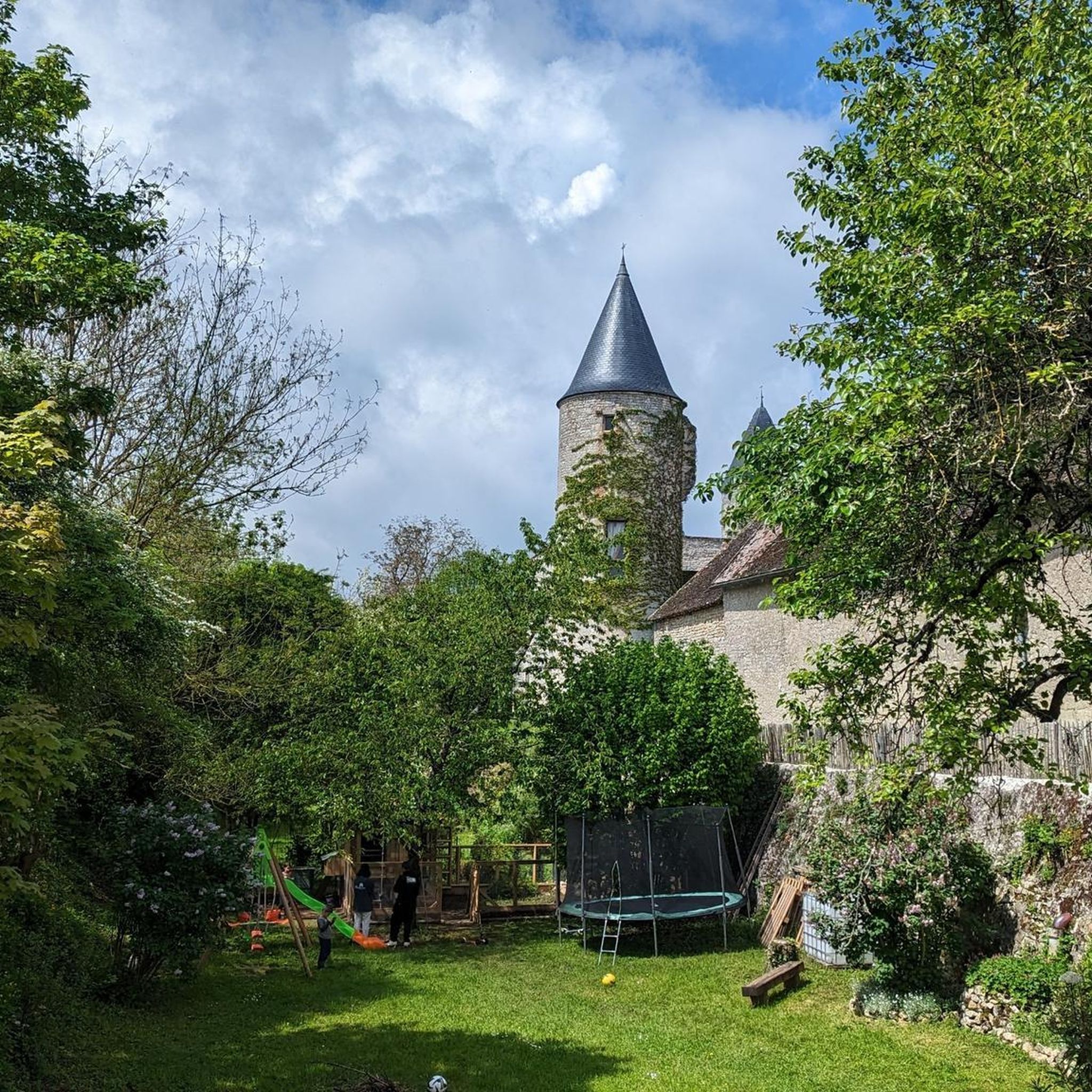
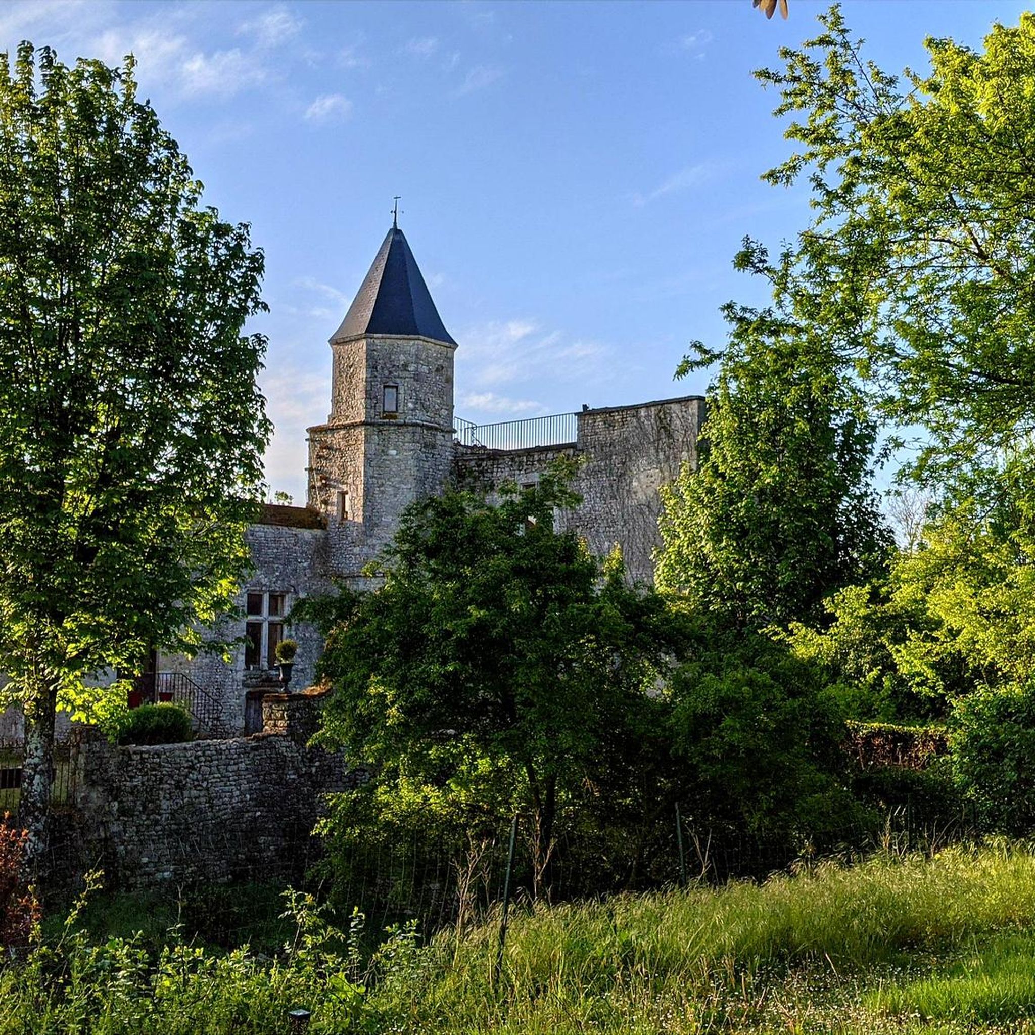
Castle built in the 13th century under Philippe Auguste. A walkway allows you to move around the curtain walls and access its four towers. Nice view of the Gâtinais, the Beauce. We can also see the Forest of Orléans in the distance. You will find visiting times and prices here: https://yevre-la-ville.fr/visites/
0
0
Frequently Asked Questions
How many hiking trails are available around Courcelles?
There are over 90 hiking trails available around Courcelles, catering to various preferences. You'll find a good mix, with 36 easy routes, 55 moderate routes, and a few more challenging options.
What kind of terrain can I expect on hikes in Courcelles?
Hikes in Courcelles offer varied terrain, including woodlands, agricultural fields, and country roads. Depending on the specific location (Belgium or France), you might encounter rolling hills, natural reserves, or even old canals. Some areas, like the Bomerée wood in Belgium, can be muddy after rain.
Are there any easy or family-friendly hiking options in Courcelles?
Yes, Courcelles offers several easy and family-friendly hiking options. For instance, the Étang à Madame – Monsieur Pond loop from Chambon-la-Forêt is an easy 7.3 km path that provides a scenic walk around a pond. Another accessible option is the Between Beauce and the Middle Ages – Château de Yèvre-le-Châtel loop from Yèvre-la-Ville, which is 5.3 km and passes a historic château.
Can I bring my dog on the hiking trails in Courcelles?
While specific regulations for dogs can vary, many trails in natural areas are generally dog-friendly, especially if your dog is kept on a leash. It's always a good idea to check local signage or specific tour details on komoot for any restrictions before heading out with your furry friend.
Are there any circular hiking routes in Courcelles?
Yes, many of the routes around Courcelles are designed as circular walks, allowing you to start and end at the same point. Examples include the Circuit de la forêt et de la fontaine Sainte-Radegonde, a moderate 13.2 km loop through the forest, and the easier Étang à Madame – Monsieur Pond loop from Chambon-la-Forêt.
What historical landmarks or points of interest can I see while hiking?
Hiking around Courcelles often brings you close to historical and architectural points of interest. You might encounter charming villages, local churches like St. Martin in Gouy-lez-Pieton, or even castles. Notable landmarks include the historic Yèvre-le-Châtel and the Saint Lubin Chapel. The region's history is often tied to its rural architecture.
What natural features can I discover on the trails?
The trails around Courcelles showcase diverse natural features. You can explore woodlands, agricultural fields, and waterways such as the old Charleroi-Brussels canal. Some routes pass by nature reserves, and you might even find ponds like the Moulin de la Porte Marsh, which are popular for fishing and swimming in some areas.
What do other hikers enjoy most about hiking in Courcelles?
The komoot community highly rates hiking in Courcelles, with an average score of 4.6 stars from over 90 reviews. Hikers often praise the varied landscapes, which include quiet woodlands and open fields, as well as the opportunities to discover historical sites and charming rural settings.
Are there any specific considerations for hiking in winter?
While the guide doesn't specify winter conditions, the region's terrain, which includes woods and agricultural fields, suggests that trails could become muddy or slippery with rain or snow. Always check local weather forecasts and wear appropriate footwear and layers for winter hiking conditions.
Is parking available near the trailheads?
While specific parking details for every trailhead are not provided, many hiking areas, especially those near villages or popular starting points, typically offer designated parking. It's advisable to check the individual tour details on komoot for specific parking information for your chosen route.
Are there any routes that pass by a fountain?
Yes, some routes incorporate natural springs or fountains. For example, the Circuit de la forêt et de la fontaine Sainte-Radegonde is a moderate 13.2 km trail that specifically leads through a forest and past a notable fountain.
What is the best time of year to hike in Courcelles?
The best time to hike in Courcelles generally depends on your preference. Spring and autumn offer pleasant temperatures and beautiful scenery with blooming flowers or colorful foliage. Summer is also suitable, though some trails might be more exposed to the sun. Be aware that some wooded areas can be muddy after rain, regardless of the season.
Most popular attractions around Courcelles

Get inspired with the komoot mobile app


Explore more
Browse the best Hikes in other regions.
