The best road cycling routes around Benshausen
4.7
(169)
3,173
riders
142
rides
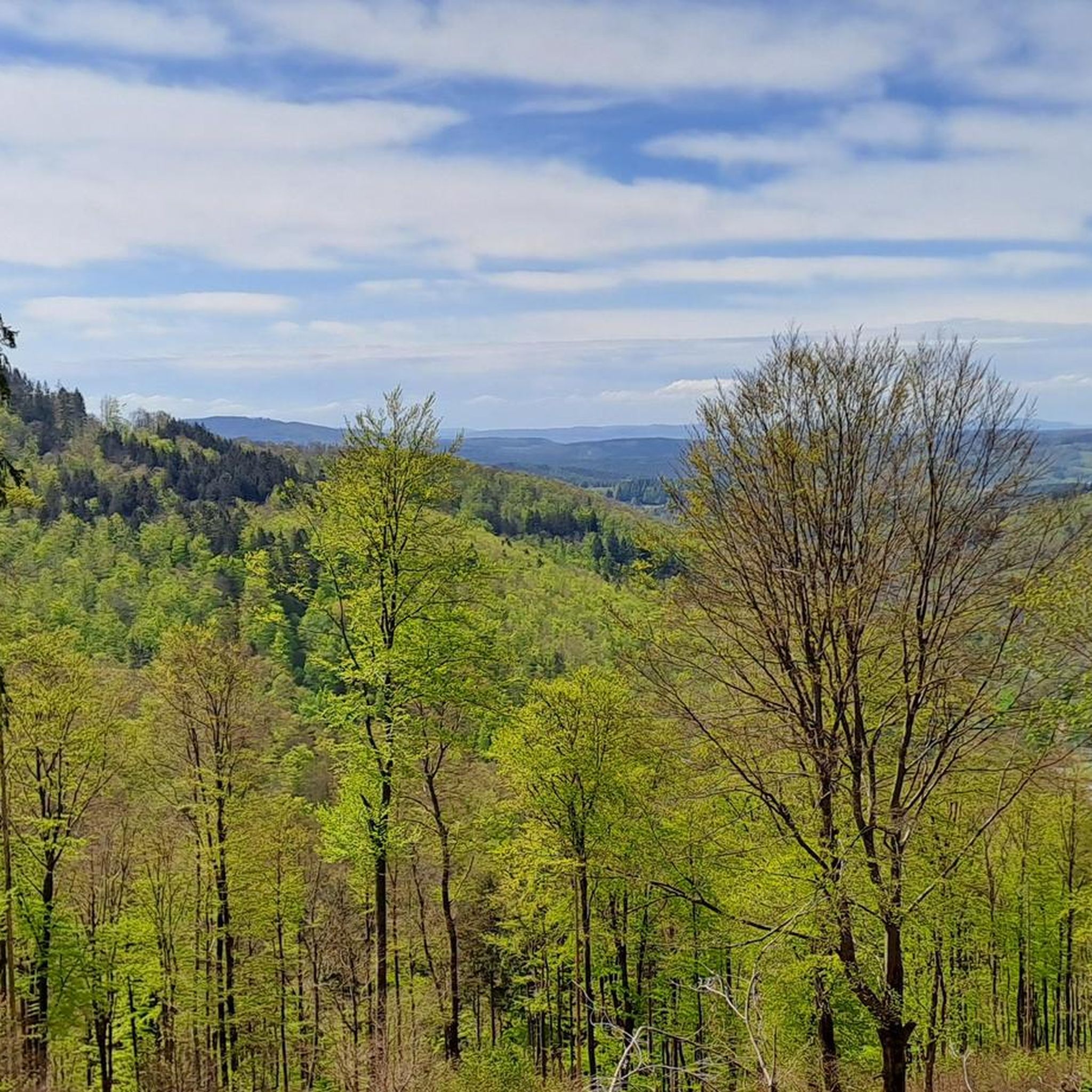
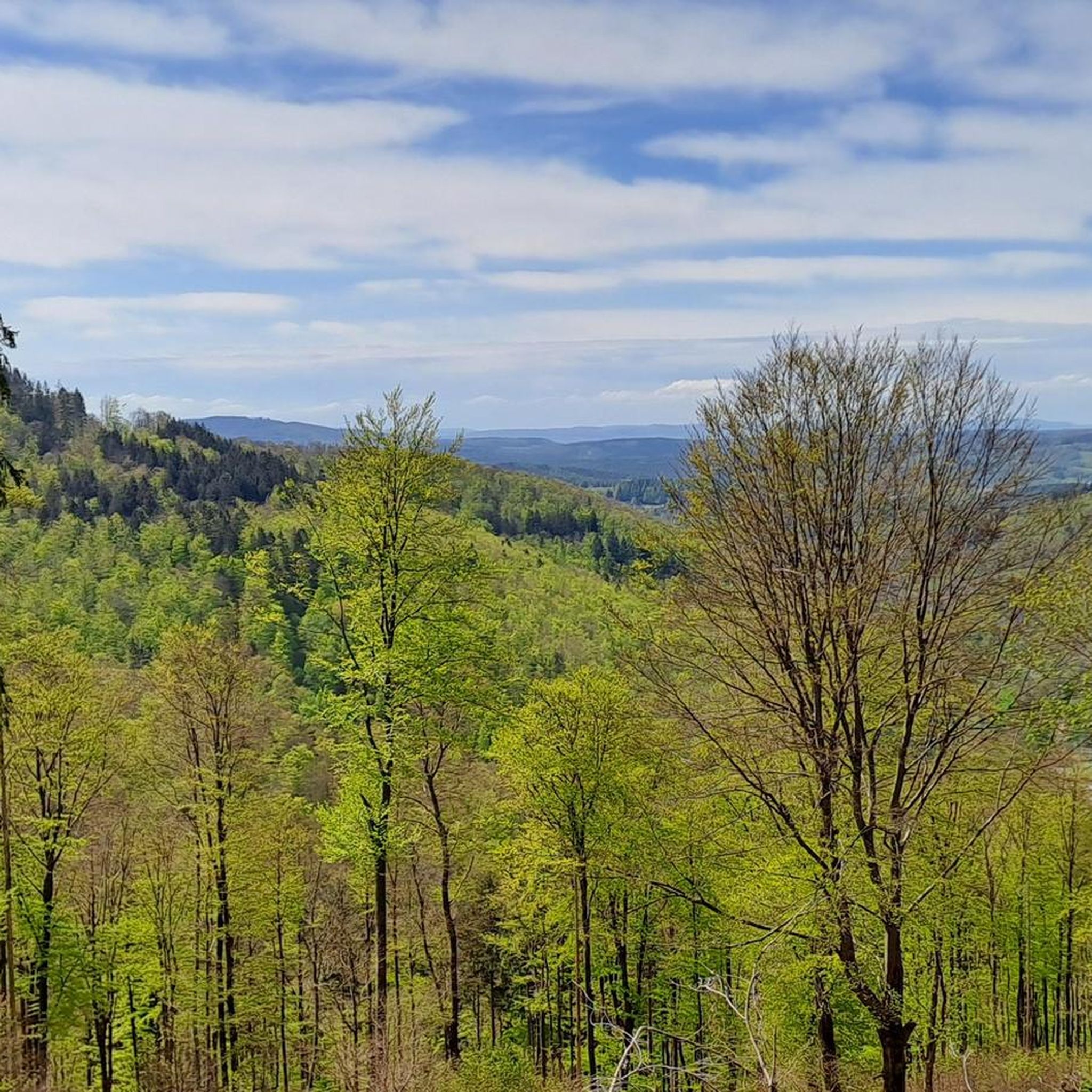
Road cycling routes around Benshausen are set within Thuringia, Germany, characterized by rolling hills and varied natural scenery. The region offers diverse topography, including both paved and unpaved segments, with routes that incorporate challenging climbs and rewarding descents. Significant natural features like the Schneekopf, though a higher peak, contribute to the elevated terrain found in the surrounding areas. This landscape provides a range of road cycling experiences for different fitness levels.
Best road cycling routes around Benshausen
- The most popular road cycling route is View of Hoher Stein – View of the ski jump loop from Zella-Mehlis West, a 33.9 miles (54.5 km) trail that takes 2 hours 57 minutes to complete. This difficult route features over 1000 meters of elevation gain.
- Another top favourite among local road cyclists is Haseltal Riverbank – Schwarzatal Cycle Path loop from Benshausen, a moderate 26.2 miles (42.2 km) path. This route follows riverbanks and cycle paths, offering a less strenuous ride through the valley.
- Local road cyclists also love the View of the ski jump – Oberhof Rondell Obelisk loop from Benshausen, a 34.7 miles (55.8 km) trail leading through elevated terrain with views, often completed in about 2 hours 54 minutes.
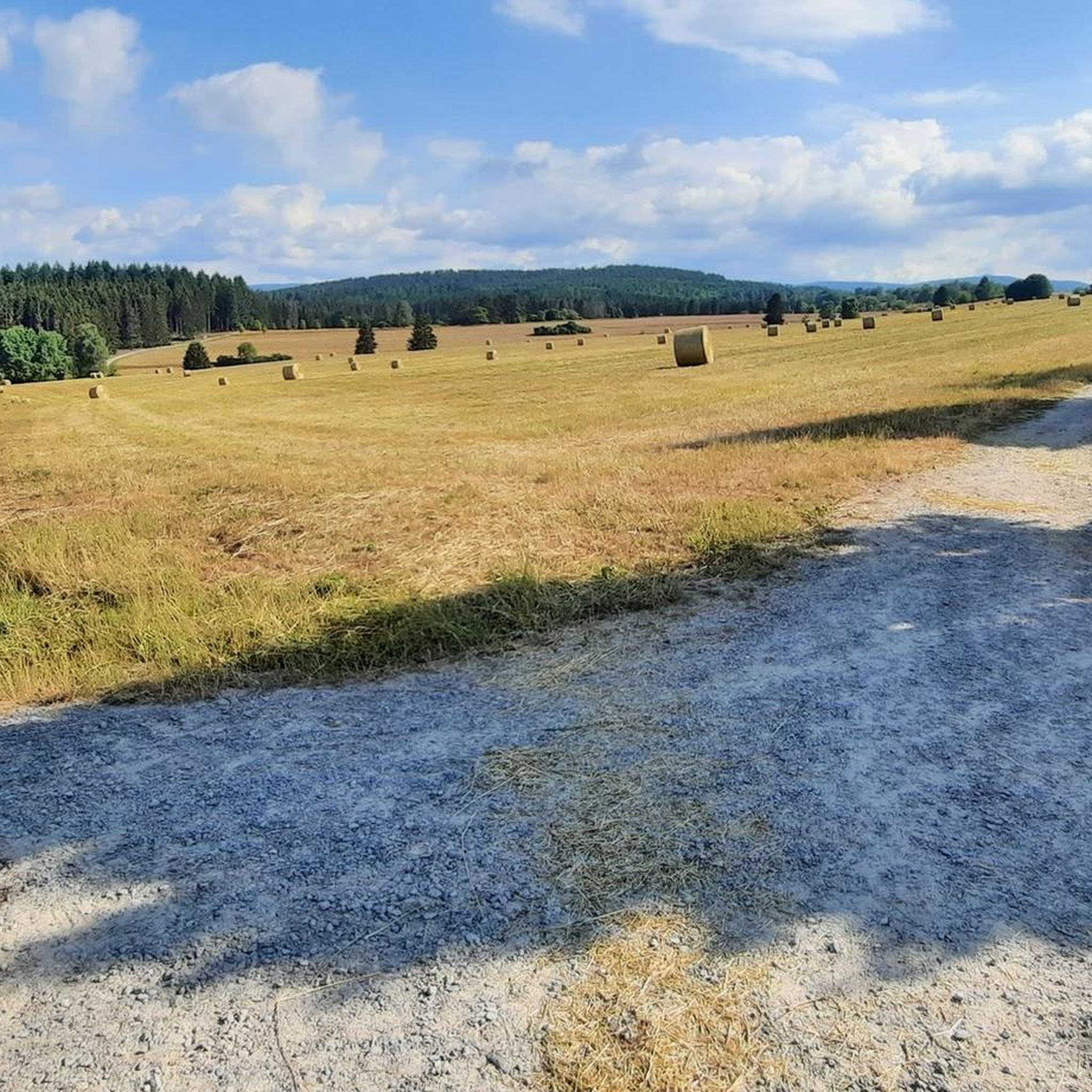
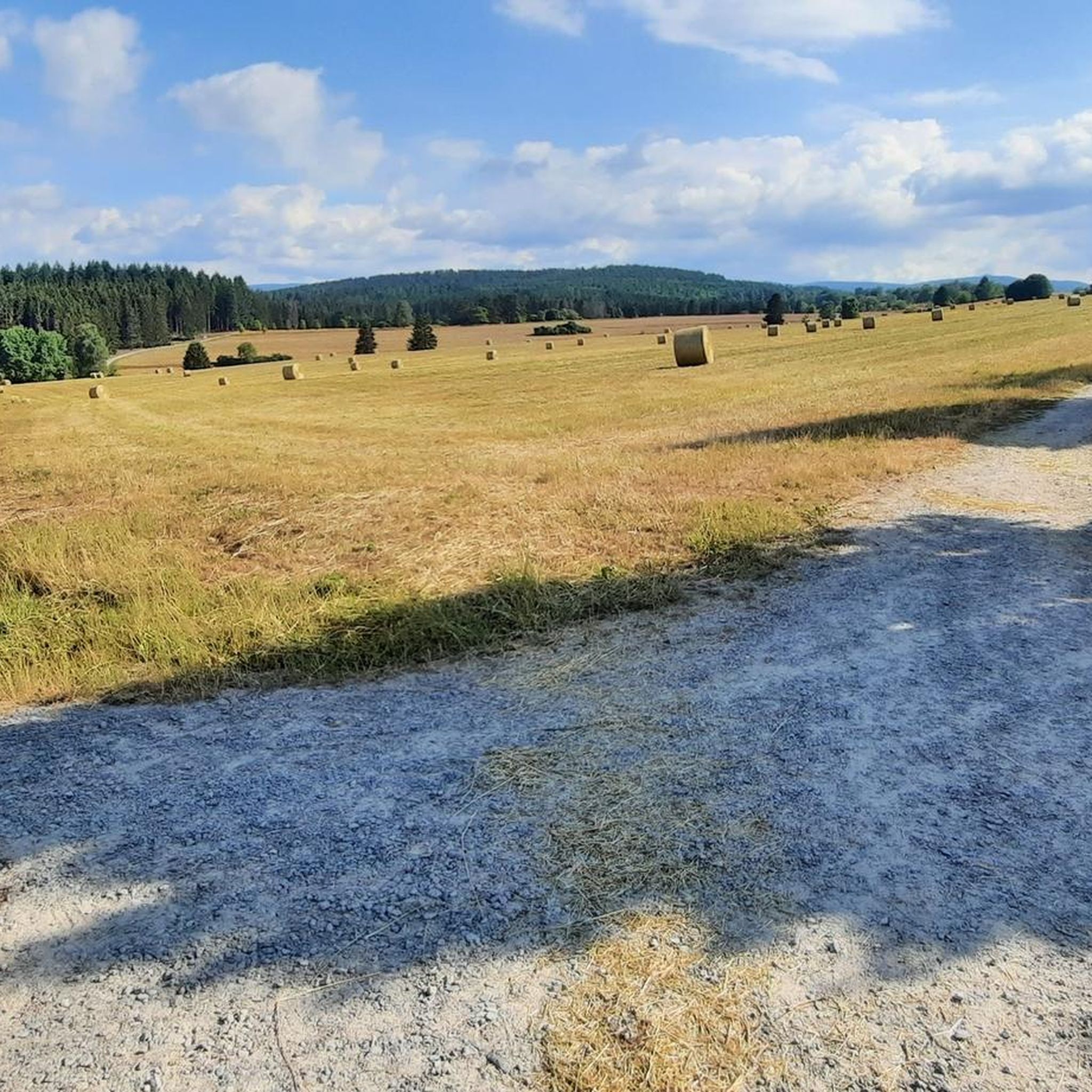
- Road cycling around Benshausen is defined by rolling hills, river valleys, and elevated viewpoints. The network offers options for various ability levels, from moderate valley rides to difficult routes with significant climbs.
- The routes in Benshausen are highly rated by the komoot community with an average score of 4.7 stars from more than 170 reviews. More than 3200 road cyclists have used komoot to explore Benshausen's varied terrain.
Last updated: May 13, 2026
5.0
(6)
106
riders
54.5km
02:57
1,020m
1,020m
Hard road ride. Very good fitness required. Some segments of this route may be unpaved and difficult to ride.
5.0
(7)
91
riders
42.3km
01:52
330m
330m
Moderate road ride. Good fitness required. Some segments of this route may be unpaved and difficult to ride.

Sign up for free
4.5
(2)
73
riders
55.8km
02:55
930m
930m
Hard road ride. Very good fitness required. Some segments of this route may be unpaved and difficult to ride.
4.7
(3)
41
riders
74.0km
03:14
470m
470m
Moderate road ride. Good fitness required. Some segments of this route may be unpaved and difficult to ride.
18
riders
108km
05:22
1,700m
1,700m
Hard road ride. Very good fitness required. Some segments of this route may be unpaved and difficult to ride.
Get access to more routes and recommendations from other explorers.
Sign up for free
Already have an account?
Our route recommendations are based on thousands of hikes, rides, and runs completed by other people on komoot.
Start today with a free account
Your next adventure awaits.
Login or Signup

Tips from the Community

Comfortable pass ride with moderate gradients.
0
0
Comfortable pass ride, the gradient is kept well within limits.
0
0

Beautiful building, unfortunately it is no longer used and is increasingly falling into disrepair.
1
0


We had dinner here for my 18th birthday.
1
0

Finally, there is a sign again - perfect as a "reminder"
0
0

If you come down from Beerberg and want to continue on to Oberhof, you should definitely join the cycle path to Oberhof west of the car park. It is best to turn left at the car park and go against the one-way street 😊 to the cycle path at the upper and western end of the car park. Unfortunately, there is no green arrow or other indication of the beautiful, car-free, tarred cycle path from the roundabout into Oberhof.
0
0
Frequently Asked Questions
How many road cycling routes are available around Benshausen?
There are over 145 road cycling routes around Benshausen, offering a wide variety of experiences. These include 8 easy routes, 77 moderate routes, and 60 difficult routes, catering to different fitness levels and preferences.
What kind of terrain can I expect on road cycling routes around Benshausen?
The region around Benshausen is characterized by rolling hills and varied natural scenery. You can expect a mix of challenging climbs and rewarding descents, with both paved and unpaved segments. Elevated terrain, influenced by nearby features like the Schneekopf, provides diverse cycling experiences.
Are there road cycling routes suitable for beginners or families in Benshausen?
Yes, Benshausen offers several routes suitable for less experienced cyclists or families. For instance, the Haseltal Riverbank – Schwarzatal Cycle Path loop from Benshausen is a moderate 42.2 km path that follows riverbanks and dedicated cycle paths, offering a less strenuous ride through the valley.
Are there challenging road cycling routes for experienced cyclists?
Absolutely. Experienced cyclists will find plenty of challenging routes with significant elevation gains. A prime example is the View of Hoher Stein – View of the ski jump loop from Zella-Mehlis West, a difficult 54.5 km trail with over 1000 meters of elevation gain. Another demanding option is the Valley view from the Schmücke – Rennsteig Station loop from Zella-Mehlis West, which covers over 100 km with more than 1500 meters of ascent.
What natural features or landmarks can I see while road cycling in Benshausen?
While road cycling, you'll encounter picturesque natural scenery and elevated viewpoints. The region is close to the Thuringian Forest Nature Park. You might also find attractions like the Oberhof Winter Sports Center or the town of Oberhof, which can be incorporated into longer rides.
Are there any gorges or waterfalls accessible from the road cycling routes?
While primarily a road cycling area, some routes may pass near areas with natural gorges. For example, the Röllchen Gorge and Waterfall and the Wedelbach Gorge are notable natural features in the wider Benshausen area, offering opportunities for exploration off the bike.
Are there loop road cycling routes available around Benshausen?
Yes, many of the road cycling routes around Benshausen are designed as loops, allowing you to start and end at the same point. Examples include the View of the ski jump – Oberhof Rondell Obelisk loop from Benshausen, a 55.8 km route, and the Kirchenburg Walldorf – Werra Bridge Schwallungen loop from Benshausen, which is 74 km long.
What do other road cyclists say about the routes in Benshausen?
The road cycling routes in Benshausen are highly rated by the komoot community, with an average score of 4.7 stars from over 170 reviews. More than 3200 road cyclists have used komoot to explore the varied terrain, often praising the scenic views and diverse challenges.
What is the best time of year for road cycling in Benshausen?
The best time for road cycling in Benshausen is typically during the warmer months, from late spring to early autumn (May to September). During this period, the weather is generally mild, and the natural scenery is at its most vibrant, making for pleasant riding conditions.
Are there specific cycle paths or dedicated cycling infrastructure in Benshausen?
Yes, the region includes dedicated cycling infrastructure such as the Haseltal Cycle Path. This path provides specific routes for cyclists, like the loop from Benshausen to the former Simson Factory in Suhl, offering a safe and enjoyable riding experience.
Can I find places to stop for refreshments or accommodation along the routes?
While specific cafes or accommodation are not detailed for every route, the presence of towns and villages like Oberhof along or near many routes suggests opportunities for refreshments and lodging. Planning your route with komoot allows you to identify points of interest for stops.
How can I get to the starting points of road cycling routes in Benshausen?
Many routes around Benshausen are accessible by car, with parking often available in the towns or at designated trailheads. For public transport, you would need to check local bus or train schedules to see which routes connect to your desired starting points, particularly in larger nearby towns.
Most popular routes around Benshausen
Most popular attractions around Benshausen

Get inspired with the komoot mobile app


Explore more
Browse the best Road cycling routes in other regions.
