The best walks and hikes around Battexey
4.2
(166)
1,001
hikers
67
hikes
Hiking around Battexey offers a diverse landscape characterized by gentle hills, open fields, and rural paths. The region features routes that often include panoramic viewpoints and connections to local landmarks. Terrain varies from well-maintained trails to more natural surfaces, suitable for different hiking preferences. The area provides opportunities to explore both natural scenery and historical sites.
Best hiking trails around Battexey
- The most popular hiking route is Panoramic route loop from Avrainville, a 9.8 miles (15.8 km) trail that…
Last updated: October 8, 2026
4.7
(7)
20
hikers
15.7km
04:14
210m
210m
Moderate hike. Good fitness required. Easily-accessible paths. Suitable for all skill levels.
4.3
(3)
17
hikers
15.3km
03:53
30m
30m
Moderate hike. Good fitness required. Easily-accessible paths. Suitable for all skill levels.

4.6
(5)
9
hikers
9.80km
02:40
150m
150m
Moderate hike. Good fitness required. Easily-accessible paths. Suitable for all skill levels.
4.5
(4)
10
hikers
9.50km
02:36
140m
140m
Moderate hike. Good fitness required. Easily-accessible paths. Suitable for all skill levels.
4.3
(4)
9
hikers
9.50km
02:34
130m
130m
Moderate hike. Good fitness required. Easily-accessible paths. Suitable for all skill levels.
Get access to more routes and recommendations from other explorers.
Already have an account?
Our route recommendations are based on thousands of hikes, rides, and runs completed by other people on komoot.
Start today with a free account
Your next adventure awaits.


Tips from the Community


The bridge crosses the Moselle and the Canal des Vosges
2
0
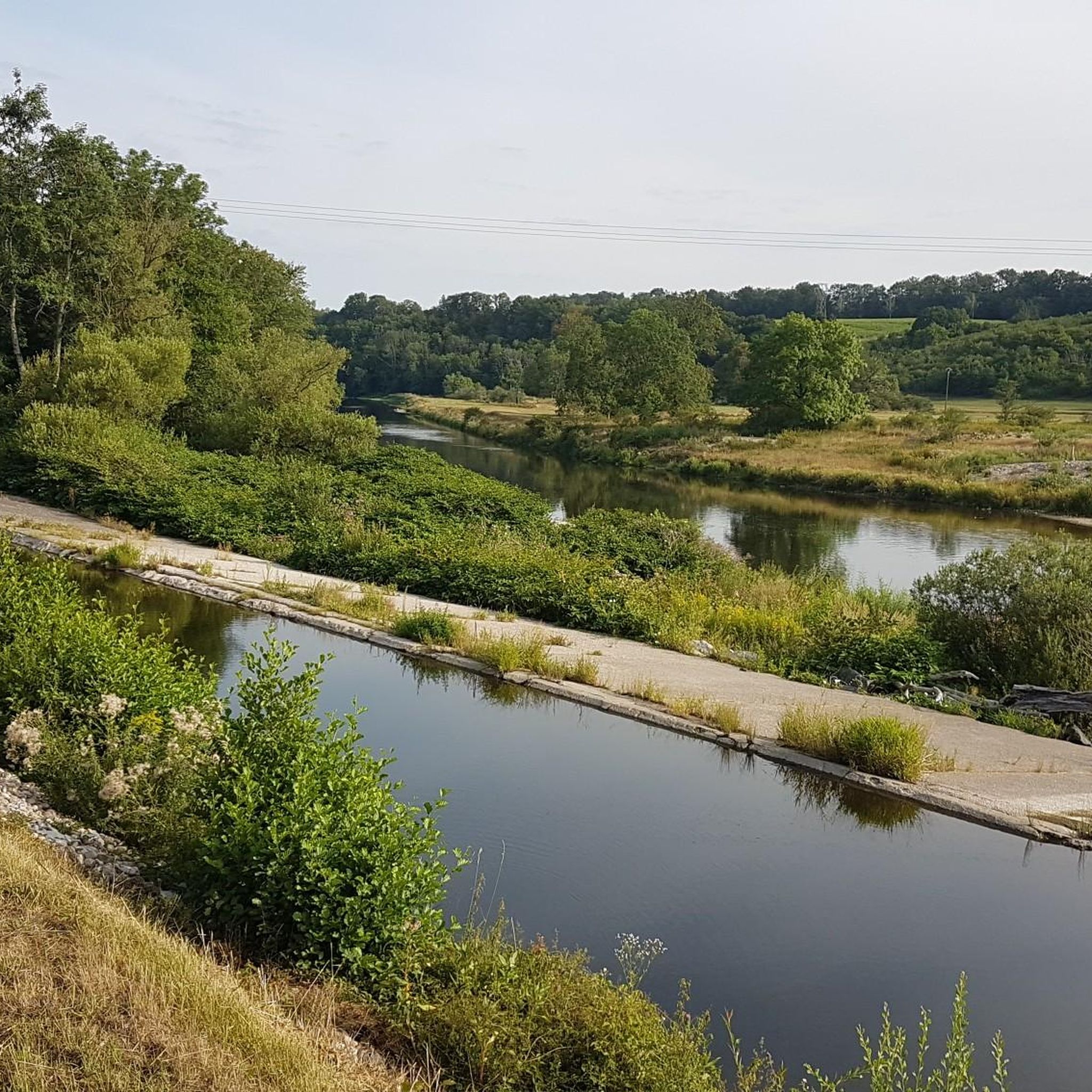
Schleuse am Canal des Vosges bei Bainville-aux-Miroirs https://www.reperesdecrues.developpement-durable.gouv.fr/site/barrage-de-bainville
2
0
Cozy restaurant with a beautiful garden directly on the hiking trail
1
0
Covered washing area in Bainville-aux-Miroir
1
0

Small port, close to the campsite and the charming town centre.
3
0

Frequently Asked Questions
How many hiking trails are available in Battexey?
Battexey offers a wide selection of hiking opportunities, with nearly 70 distinct trails to explore. These routes cater to various preferences, ranging from easy strolls to more challenging moderate hikes.
Are there easy hiking trails suitable for beginners or families in Battexey?
Yes, Battexey is very welcoming for beginners and families. Approximately 30 of the available routes are classified as easy, featuring gentle terrain and shorter distances. These trails are perfect for a relaxed outing with children or for those new to hiking.
What is the typical length and duration of hikes in Battexey?
Hikes in Battexey vary in length and duration. Many popular routes, such as the Saint-Léonard Chapel – Panoramic route loop from Gripport, are around 6 miles (9.8 km) and can be completed in about 2 hours 40 minutes. Longer moderate trails, like the Panoramic route loop from Avrainville, can extend to nearly 10 miles (15.8 km) and take over 4 hours.
Can I find circular hiking routes around Battexey?
Absolutely. Many of the hiking routes in Battexey are designed as circular loops, allowing you to start and end at the same point without retracing your steps. Examples include the Charmes Bridge – Marketplace loop from Gripport and the Panoramic route – Saint-Léonard Chapel loop from Socourt, which offer varied scenery throughout.
What interesting places can I see while hiking in Battexey?
The region around Battexey is rich in both natural beauty and historical sites. You can encounter landmarks such as the Barrès Monument, the historic Gripport Lock, or the impressive Haroué Castle. Many trails offer panoramic views that showcase the area's gentle hills and rural landscapes.
Is parking available near the hiking trails in Battexey?
Yes, in most rural areas like Battexey, you will typically find designated parking areas near popular trailheads or in nearby villages. It's always a good idea to check specific route details on komoot for information on starting points and parking facilities.
When is the best time of year to go hiking in Battexey?
The best time for hiking in Battexey is generally from spring through autumn (April to October). During these months, the weather is usually mild and pleasant, and the landscapes are vibrant. Summer offers longer daylight hours, while spring and autumn provide beautiful foliage and cooler temperatures.
Are hiking trails in Battexey dog-friendly?
Most rural hiking trails in Battexey are generally dog-friendly, especially if your dog is well-behaved and kept on a leash. However, always be mindful of local regulations, private land, and livestock. It's advisable to carry water for your dog and clean up after them.
What do other hikers say about the trails in Battexey?
The hiking trails in Battexey are highly regarded by the komoot community, boasting an average rating of 4.3 stars from over 130 reviews. Hikers often praise the diverse scenery, the well-maintained paths, and the opportunity to combine natural exploration with visits to historical sites.
What should I bring for a hike in Battexey?
For a comfortable hike in Battexey, we recommend bringing appropriate footwear, water, snacks, and weather-appropriate clothing. Depending on the season, layers are advisable. A map or a GPS device (like the komoot app) is also helpful for navigation, especially on longer routes.
Can I reach hiking trails in Battexey using public transport?
While Battexey is a rural area, some villages that serve as trailheads might have limited public transport connections, such as local bus services. For optimal flexibility and access to a wider range of trails, traveling by car is often the most convenient option. Always check local transport schedules in advance.
Are there any less crowded hiking options in Battexey?
To find less crowded trails, consider hiking during off-peak hours (early mornings or late afternoons) or on weekdays rather than weekends. Exploring some of the less-known routes, such as the Spielplatz – Chez La Moon Restaurant loop from Gripport, can also offer a more tranquil experience compared to the most popular routes.
Most popular attractions around Battexey

Get inspired with the komoot mobile app


Explore more
Browse the best Hikes in other regions.
