The best running trails around Merlieux-Et-Fouquerolles
4.2
(25)
1,191
runners
149
runs
Jogging around Merlieux-Et-Fouquerolles offers varied terrain, from the shaded paths of the Forêt de Pinon to routes alongside the River Ailette and Canal de l'Oise à l'Aisne. The region's topography includes elevations ranging from 58 to 183 meters, providing options for different fitness levels. Runners can explore natural reserves and historical sites, including parts of the Natura 2000 site "Tourbière et coteaux de Cessières Montbavin."
Best jogging routes around Merlieux-Et-Fouquerolles
- The most popular jogging route is Chivy-lès-Étouvelles loop from Vaucelles-et-Beffecourt…
Last updated: May 25, 2026
15
runners
9.54km
00:59
40m
40m
Moderate run. Good fitness required. Mostly paved surfaces. Suitable for all skill levels.
3.0
(1)
11
runners
6.03km
00:38
60m
60m
Moderate run. Good fitness required. Mostly paved surfaces. Suitable for all skill levels.

Sign up for free
5.0
(1)
8
runners
9km
01:02
80m
80m
Moderate run. Good fitness required. Mostly paved surfaces. Suitable for all skill levels.
8
runners
7.64km
00:47
30m
30m
Moderate run. Good fitness required. Mostly paved surfaces. Suitable for all skill levels.
4.3
(4)
7
runners
9.29km
01:01
130m
130m
Moderate run. Good fitness required. Mostly paved surfaces. Suitable for all skill levels.
Get access to more routes and recommendations from other explorers.
Sign up for free
Already have an account?
Our route recommendations are based on thousands of hikes, rides, and runs completed by other people on komoot.
Start today with a free account
Your next adventure awaits.
Login or Signup
Tips from the Community

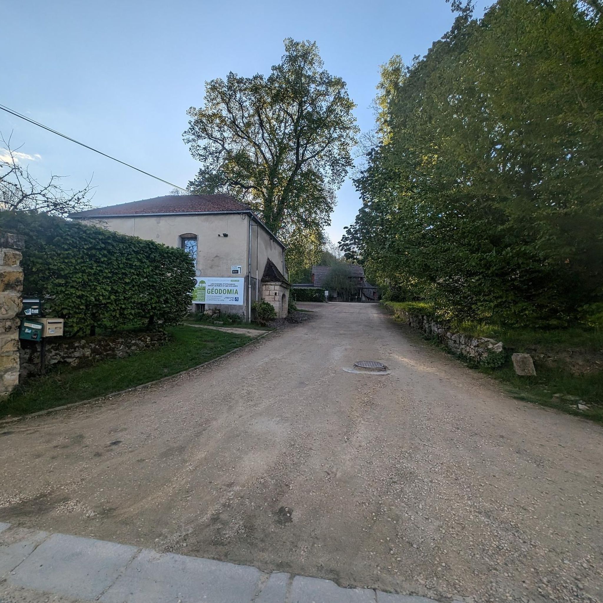
little corner of peace
0
0

An Art Deco church, from where you can also observe a magnificent panorama of the Monts du Laonnois.
0
0

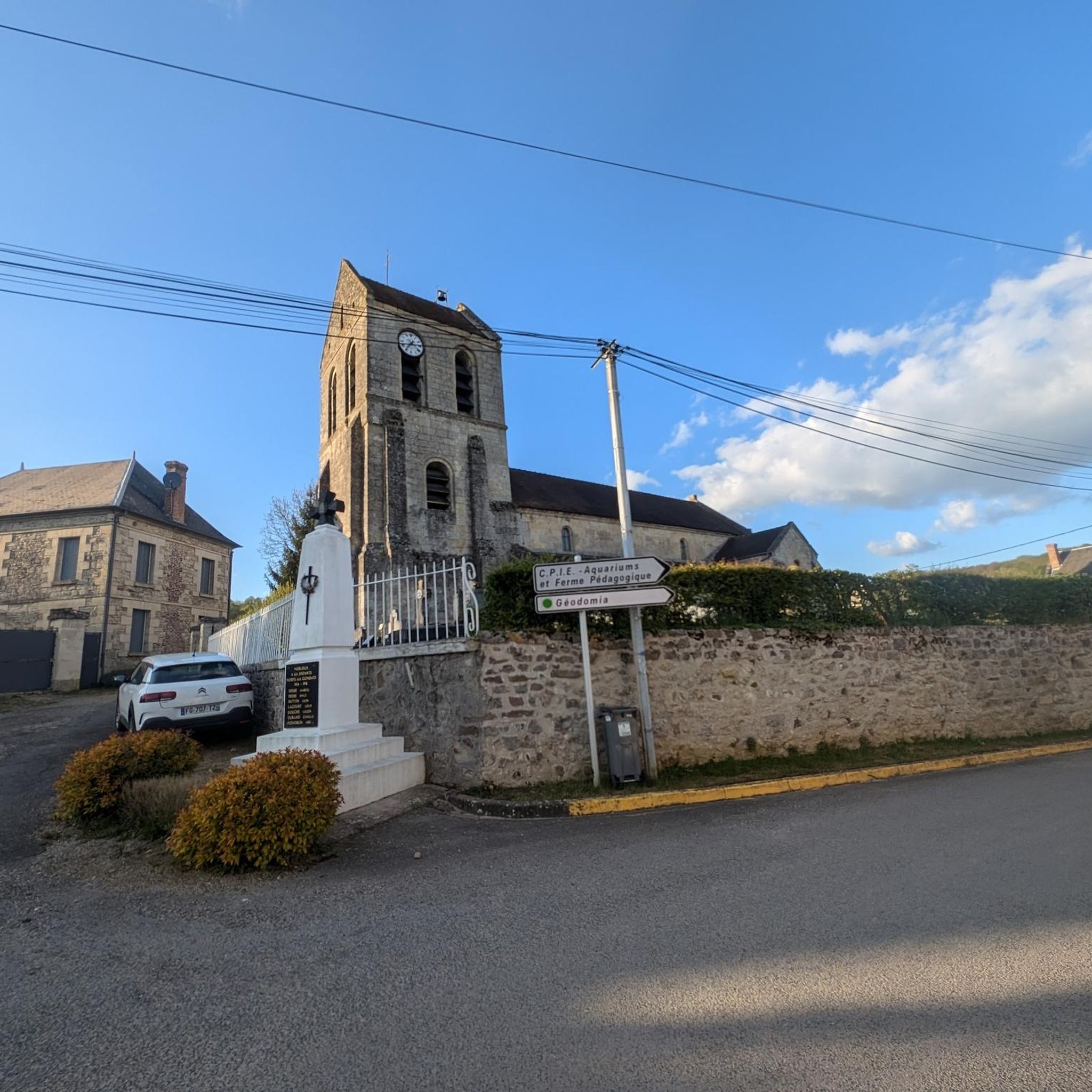
Central to the city is the town hall, the church and the monument of the dead. But as is the custom in the region you will find many photos, but little explanation.
1
0
As is the custom in this region, you will find thousands of photos, but almost no explanation. The monument is recognized as a memorial to the war in '14 -'18 and is on the list of public works of art in the Aisne.
1
0
Church of Saint-Pierre-et-Saint-Paul, listed as a historic monument on August 12, 1909
1
0
Frequently Asked Questions
How many running routes are available in Merlieux-Et-Fouquerolles?
Komoot offers nearly 150 running routes around Merlieux-Et-Fouquerolles, catering to various fitness levels. You'll find a wide selection, from easy jogs to more challenging trail runs.
Are there easy jogging routes suitable for beginners or families in Merlieux-Et-Fouquerolles?
Yes, Merlieux-Et-Fouquerolles has several easy jogging paths perfect for beginners or families. These routes often feature gentler terrain, such as paths alongside the River Ailette or the Canal de l'Oise à l'Aisne, which provide relatively flat and scenic options. There are 6 easy routes available in the area.
What kind of terrain can I expect on the running trails in Merlieux-Et-Fouquerolles?
The region offers a varied topography, with altitudes ranging from 58 to 183 meters. You can expect a mix of shaded paths through forests like the Forêt de Pinon, flat sections along waterways, and some routes with moderate inclines, providing diverse experiences for all runners.
Are there any circular running routes in the area?
Yes, many of the running routes in Merlieux-Et-Fouquerolles are circular, allowing you to start and finish at the same point. For example, the Running loop from Bourguignon-sous-Montbavin is a popular moderate circular path offering scenic views.
What historical sites or landmarks can I see while running in Merlieux-Et-Fouquerolles?
You can incorporate historical sites into your runs. The village itself features a reconstructed private castle, traditional houses, ancient wine presses, an old wash house, and the 12th-century Sainte-Geneviève church. The ruins of the 12th-century Valavergny castle are also an interesting landmark. For a longer run, the historic city of Laon, with its iconic Notre-Dame Cathedral and Old Town, is a rewarding destination nearby.
Are there any challenging running routes for experienced runners?
Absolutely. While many routes are moderate, Merlieux-Et-Fouquerolles also offers 24 difficult running trails for those seeking a greater challenge. These routes often feature more significant elevation changes and varied terrain, such as the Saint-Hilaire Church loop from Chaillevois, which includes notable climbs.
What do other runners say about the trails in Merlieux-Et-Fouquerolles?
The running routes in Merlieux-Et-Fouquerolles are highly rated by the komoot community, with an average score of 4.2 stars from over 20 reviews. Reviewers often praise the diverse natural environments, including forests and wetlands, as well as the charming scenery and historical points of interest.
Can I find routes that take me through natural reserves or forests?
Yes, the region is rich in natural beauty. You can find routes that traverse parts of the Forêt de Pinon, offering shaded and serene environments. Additionally, some trails pass through the Natura 2000 site "Tourbière et coteaux de Cessières Montbavin", highlighting the area's ecological importance and providing undisturbed natural areas for your run.
Are there running routes accessible by public transport?
While specific public transport access points for each trail vary, the wider Hauts-de-France region is generally well-connected. For detailed information on reaching specific trailheads, it's advisable to check local public transport schedules and routes to villages like Chaillevois, Montbavin, or Bourguignon, which are starting points for several runs.
Where can I park my car when going for a run?
Parking availability often depends on the specific trailhead. Many routes start from villages like Vaucelles-et-Beffecourt or Cessières-Suzy, where you can typically find local parking options. It's recommended to check the starting point of your chosen route for the most convenient parking areas.
Are there any long-distance running options in Merlieux-Et-Fouquerolles?
While many routes are moderate in length, you can combine several trails or explore longer loops to create extended running experiences. For instance, the Chivy-lès-Étouvelles loop from Vaucelles-et-Beffecourt is nearly 10 km, offering a good distance for a sustained run.
Most popular routes around Merlieux-Et-Fouquerolles
Most popular attractions around Merlieux-Et-Fouquerolles

Get inspired with the komoot mobile app


Explore more
Browse the best Running Trails & Routes in other regions.
