The best walks and hikes around La Caillère-Saint-Hilaire
4.7
(91)
471
hikers
94
hikes
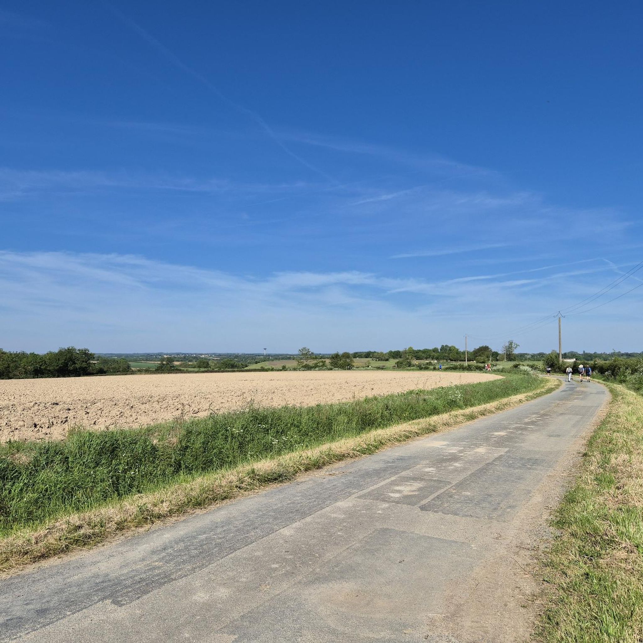
Hiking around La Caillère-Saint-Hilaire offers exploration of a rural environment in the Vendée department of western France. The area is characterized by agricultural land, wooded sections, and grasslands, with elevations ranging from 49 to 137 meters. Notable natural features include the Lac de Rochereau, a large drinking water reserve, and proximity to the Mervent Forest. This diverse topography provides varied terrain for outdoor activities.
Best hiking trails around La Caillère-Saint-Hilaire
- The most popular hiking route is Lac de Rochereau Loop…
Last updated: May 25, 2026
4.0
(3)
7
hikers
26.1km
06:52
220m
220m
Hard hike. Very good fitness required. Mostly accessible paths. Sure-footedness required.
4.3
(4)
13
hikers
11.1km
02:56
100m
100m
Moderate hike. Good fitness required. Easily-accessible paths. Suitable for all skill levels.

Sign up for free
5.0
(2)
19
hikers
Easy hike. Great for any fitness level. Easily-accessible paths. Suitable for all skill levels.
4
hikers
Easy hike. Great for any fitness level. Easily-accessible paths. Suitable for all skill levels.
5.0
(2)
3
hikers
6.79km
01:48
70m
70m
Easy hike. Great for any fitness level. Easily-accessible paths. Suitable for all skill levels.
Get access to more routes and recommendations from other explorers.
Sign up for free
Already have an account?
Our route recommendations are based on thousands of hikes, rides, and runs completed by other people on komoot.
Start today with a free account
Your next adventure awaits.
Login or Signup




Tips from the Community

pretty dungeon and remarkable garden.
0
0
magnificent landscape of the Vendée bocage.
0
0

place called "the waterfall", but there is no waterfall!
0
0
The Bridge Without a Name
0
0

Historical monument from the 14th century. It has a museum and large gardens. The museum of popular art and traditions has a collection of more than a thousand objects and furniture dating from 1850 to 1950. There is parking and toilets. To organize the visit: +33251512310
1
0
Frequently Asked Questions
How many hiking trails are available around La Caillère-Saint-Hilaire?
There are over 80 hiking routes available around La Caillère-Saint-Hilaire, offering a diverse range of options for all skill levels. These include easy strolls, moderate paths, and more challenging routes.
What types of landscapes can I expect to see while hiking in this region?
The region is characterized by its charming rural environment, featuring extensive agricultural land, wooded areas, and grasslands. You'll find varied topography with elevations ranging from 49 to 137 meters, offering peaceful country paths and scenic views, particularly around the Lac de Rochereau.
Are there any family-friendly hiking options in La Caillère-Saint-Hilaire?
Yes, there are several easy routes suitable for families. For example, The Pond – Animals loop from Saint-Martin-Lars-en-Sainte-Hermine is a shorter, easy loop perfect for a leisurely walk with children.
Can I find circular hiking routes in the area?
Absolutely. Many of the trails around La Caillère-Saint-Hilaire are circular, allowing you to start and end at the same point. A notable example is the challenging Lac de Rochereau Loop Trail, which offers expansive lake views.
What are some notable landmarks or attractions to see along the trails?
Hikers can explore various points of interest. The Gue Pedestrian Bridge – Bazoges-en-Pareds Keep loop from Bazoges-en-Pareds passes by historical sites like the Bazoges-en-Pareds Keep. You can also find the Le Vieux Château and the scenic Lake Rochereau in the vicinity.
Is the Mervent Forest accessible for hiking from La Caillère-Saint-Hilaire?
Yes, La Caillère-Saint-Hilaire is situated not far from the Mervent Forest, which is a significant natural attraction. The forest offers additional opportunities for exploration and connection with nature, providing more diverse trails beyond the immediate commune.
What is the best time of year to go hiking in La Caillère-Saint-Hilaire?
The region's mild climate makes it suitable for hiking for much of the year. Spring and autumn generally offer pleasant temperatures and beautiful scenery, while summer can be enjoyable, especially for early morning or late afternoon walks. Winter hiking is also possible, though some paths might be muddy.
Are there any hikes with good viewpoints?
Yes, the area offers several routes with scenic vistas. The Lac de Rochereau Loop Trail provides panoramic views of the lake. Additionally, the 'La Colline aux Moulins' walk offers views of old windmills and expansive panoramas of the surrounding bocage and plain, extending towards the Mervent Forest.
What do other hikers say about the trails in La Caillère-Saint-Hilaire?
The hiking routes in La Caillère-Saint-Hilaire are highly rated by the komoot community, with an average score of 4.6 stars from over 90 reviews. Hikers often praise the serene rural landscapes, the beauty of Lac de Rochereau, and the accessibility of the trails for various skill levels.
Are there any moderate difficulty trails for a longer walk?
Certainly. For a moderate and longer walk, consider the John Paul II Chapel – The Lovers' Beech loop from La Jaudonnière. This 11.1 km path takes you through pleasant rural landscapes and is a popular choice among local hikers.
Is public transport available to reach hiking trailheads?
While La Caillère-Saint-Hilaire is a rural commune, public transport options might be limited directly to all trailheads. It is generally recommended to have a car for greater flexibility in accessing the various starting points for hikes in the region.
Are dogs allowed on the hiking trails?
Most rural trails in France are generally dog-friendly, especially if kept on a leash. However, it's always advisable to check local signage or specific trail regulations, particularly in nature reserves or protected areas, to ensure dogs are permitted.
Most popular routes around La Caillère-Saint-Hilaire
Most popular attractions around La Caillère-Saint-Hilaire

Get inspired with the komoot mobile app


Explore more
Browse the best Hikes in other regions.
