The best MTB trails around Tart-Le-Haut
4.4
(41)
192
riders
41
rides
Mountain biking around Tart-Le-Haut offers diverse trail experiences within the Côte-d'Or department of Burgundy-Franche-Comté. The region features varied landscapes, including woodlands, grass pastures, and the historic Burgundy Canal. Cyclists can find routes that traverse open countryside, follow river paths, and pass by ponds and lakes. The terrain provides a range of gradients, from mostly flat canal-side paths to more undulating sections through forested areas.
Best mountain bike trails around Tart-Le-Haut
- The most popular mountain bike trail is Vtt – Descent…
Last updated: July 19, 2026
4.5
(4)
10
riders
35.5km
02:31
120m
120m
Moderate mountain bike ride. Good fitness required. Advanced riding skills necessary.
8
riders
30.2km
01:37
30m
30m
Easy mountain bike ride. Great for any fitness level. Suitable for all skill levels.

Sign up for free
5.0
(1)
4
riders
Moderate mountain bike ride. Good fitness required. Suitable for all skill levels.
5.0
(2)
5
riders
33.5km
02:09
190m
190m
Moderate mountain bike ride. Good fitness required. Advanced riding skills necessary.
5.0
(1)
3
riders
31.7km
02:06
80m
80m
Moderate mountain bike ride. Good fitness required. Advanced riding skills necessary.
Get access to more routes and recommendations from other explorers.
Sign up for free
Already have an account?
Our route recommendations are based on thousands of hikes, rides, and runs completed by other people on komoot.
Start today with a free account
Your next adventure awaits.
Login or Signup


Tips from the Community

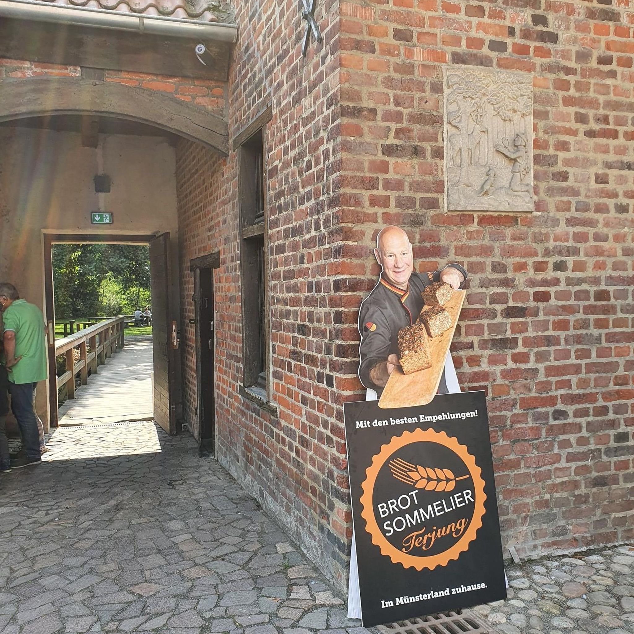
A small, nice place. Before the bridge, there is a bakery.
0
0

Interesting harbor, as there are many houseboats here.
0
0

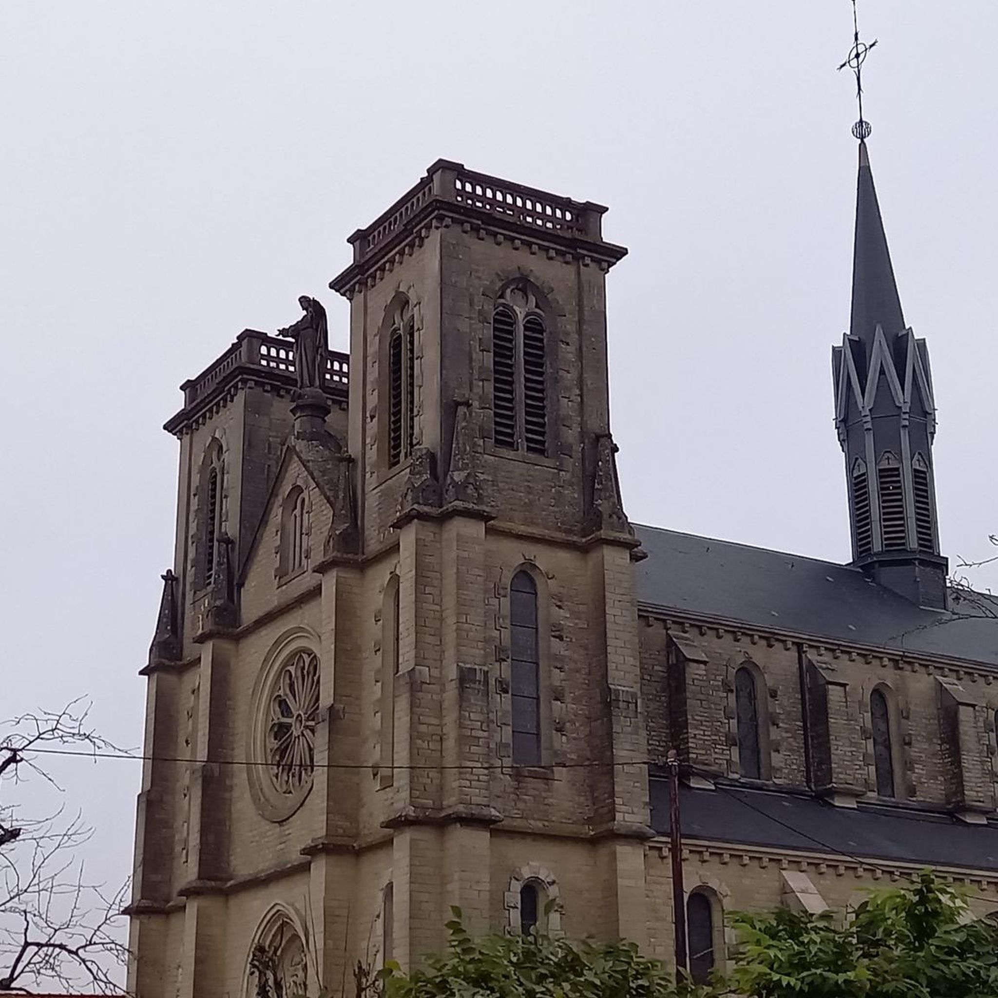
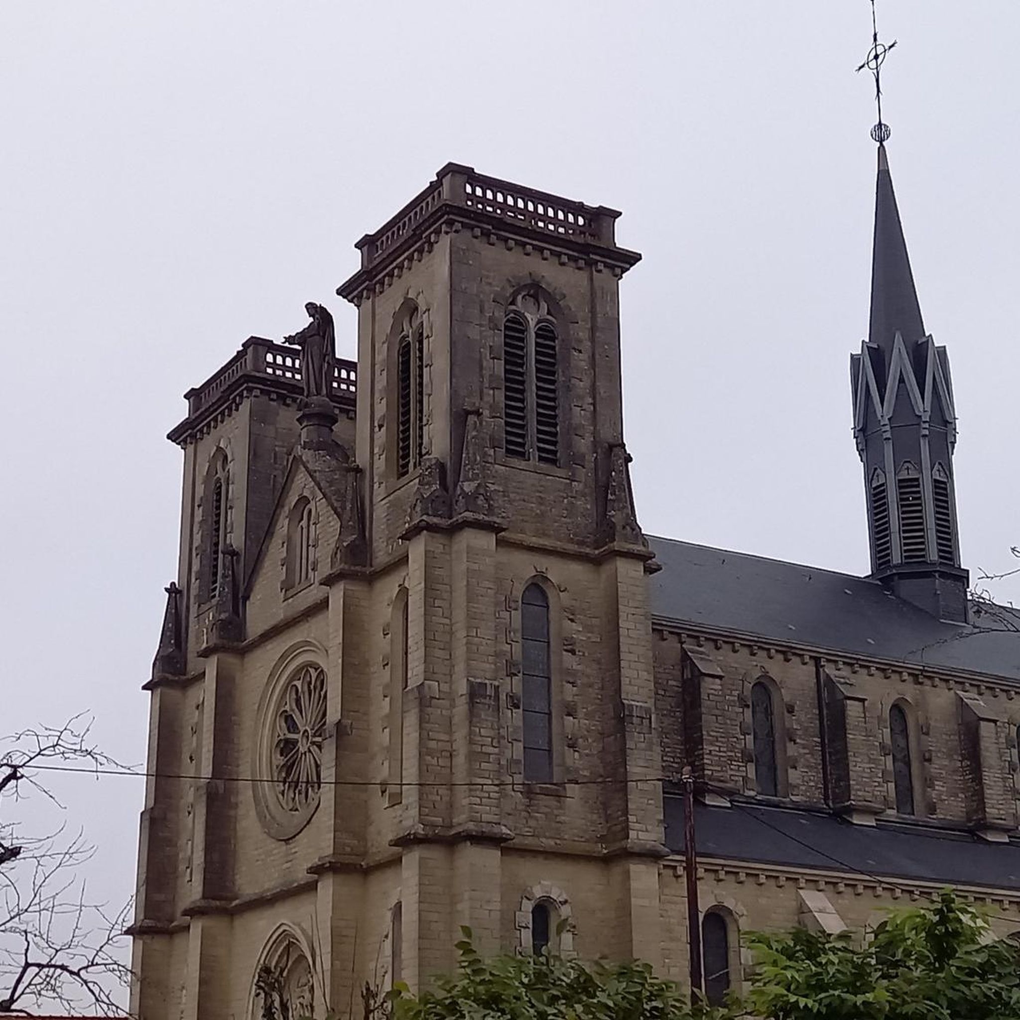
Listed as a historical monument, the Château de Longecourt is built of brick and stone. Today it is a charming guest house with 5 bedrooms and a suite.
0
0


Originally, the Saint-Jean-de-Losne bridge was made of wood and crossed the river diagonally by road no. 27 linking Dijon to Losne. It started on the right bank, a little downstream from the current bridge, and then joined the old Seurre road. The structure was destroyed many times by floods and ice break-ups, but was always rebuilt in the same place until 1830. It was rebuilt in stone from 1833, then rebuilt again after being cut down during the war of 1870… The bridge suffered damage from the war twice more. On June 16, 1940, French engineers blew up an arch, and on September 7, 1944, the retreating Germans dynamited the rest. It was then replaced by a temporary wooden footbridge. After the liberation, the reconstruction work was put out to tender. After all these twists and turns, the bridge was finally rebuilt in the same place in 1950.
0
0

Gentle, partially shaded descent through fields on a nicely tarmac road.
0
0

The castle was built in the 18th century, open to visitors. Rentals available from 1 to 7 people: 06.77.83.55.66
0
0
Frequently Asked Questions
How many mountain bike trails are available around Tart-Le-Haut?
There are over 30 mountain bike trails around Tart-Le-Haut, offering a variety of experiences for different skill levels. You'll find a good mix of easy and moderate routes to explore.
Are there mountain bike trails suitable for beginners or families in Tart-Le-Haut?
Yes, Tart-Le-Haut offers several easy mountain bike trails, perfect for beginners and families. Many of these routes follow the historic Burgundy Canal, providing generally flat surfaces and scenic views. For example, the Burgundy Canal – Lock loop from Thorey-en-Plaine is an easy 27.9 km path that is very accessible.
What kind of terrain can I expect on mountain bike trails in Tart-Le-Haut?
The terrain around Tart-Le-Haut is quite varied. You'll encounter diverse landscapes including woodlands, open grass pastures, and paths alongside rivers, ponds, and lakes. While some routes, especially along the Burgundy Canal, are mostly flat, others through forested areas offer more undulating sections and gentle gradients.
Are there any circular mountain bike routes in the area?
Yes, many of the mountain bike trails around Tart-Le-Haut are designed as loops, allowing you to start and finish at the same point. Examples include the Vtt – Descent from Tart-L'Abbaye loop from Genlis and the Burgundy Canal – View of Château de Longecourt loop from Marliens.
What natural features or landmarks can I see along the mountain bike trails?
The trails often feature picturesque views of the historic Burgundy Canal and its infrastructure, such as the lock at Saint-Jean-de-Losne. You'll also ride through diverse landscapes including woodlands, grass pastures, and alongside rivers and lakes. Keep an eye out for local wildlife like buzzards and deer, and in spring, wildflowers add to the scenic beauty. The area is also close to Saint-Jean-de-Losne, a notable settlement.
What do other mountain bikers enjoy most about mountain biking in Tart-Le-Haut?
The mountain bike trails around Tart-Le-Haut are highly rated by the komoot community, with an average score of 4.5 stars from over 30 reviews. Riders often praise the diverse landscapes, the peaceful canal-side paths, and the variety of routes suitable for different skill levels.
Is Tart-Le-Haut a dog-friendly area for mountain biking?
While the guide does not specify dog-friendly trails, many of the paths, especially those along the Burgundy Canal and through open countryside, are generally suitable for dogs on a leash. Always ensure your dog is under control and respect local regulations regarding pets in natural areas.
What is the best time of year to go mountain biking in Tart-Le-Haut?
Spring and autumn are particularly pleasant for mountain biking in Tart-Le-Haut. In spring, wildflowers bloom, and in autumn, the woodlands display vibrant colors. The weather is generally milder during these seasons, making for comfortable riding conditions. Summer can also be enjoyable, especially on shaded routes.
Are there any challenging mountain bike trails for experienced riders?
Yes, while there are many easy options, Tart-Le-Haut also offers moderate trails that require good fitness and some advanced riding skills. For example, the Remarkable Oak – Alpagas de la Tille loop from Genlis is a moderate route that provides a more engaging experience.
Are there any mountain bike routes that pass by historical sites or châteaux?
Yes, some routes offer glimpses of historical architecture. The Burgundy Canal – View of Château de Longecourt loop from Marliens is a great example, leading through the countryside alongside the Burgundy Canal with views of the Château de Longecourt.
Is there parking available near the mountain bike trails in Tart-Le-Haut?
While specific parking locations are not detailed in the route descriptions, many villages and starting points for trails, especially those along the Burgundy Canal or near towns like Genlis, typically offer public parking facilities. It's advisable to check local maps or komoot tour details for suggested starting points.
Can I access the mountain bike trails using public transport?
Tart-Le-Haut is situated in the Côte-d'Or department, relatively close to Dijon (approximately 18 km). While direct public transport to every trailhead might be limited, you could consider reaching a larger nearby town like Genlis or Dijon by public transport and then cycling to the trailheads. However, specific public transport links directly to trail starting points are not widely available.
Most popular routes around Tart-Le-Haut
Most popular attractions around Tart-Le-Haut

Get inspired with the komoot mobile app


Explore more
Browse the best MTB trails in other regions.
