The best walks and hikes around Sirod
4.4
(1815)
9,812
hikers
223
hikes
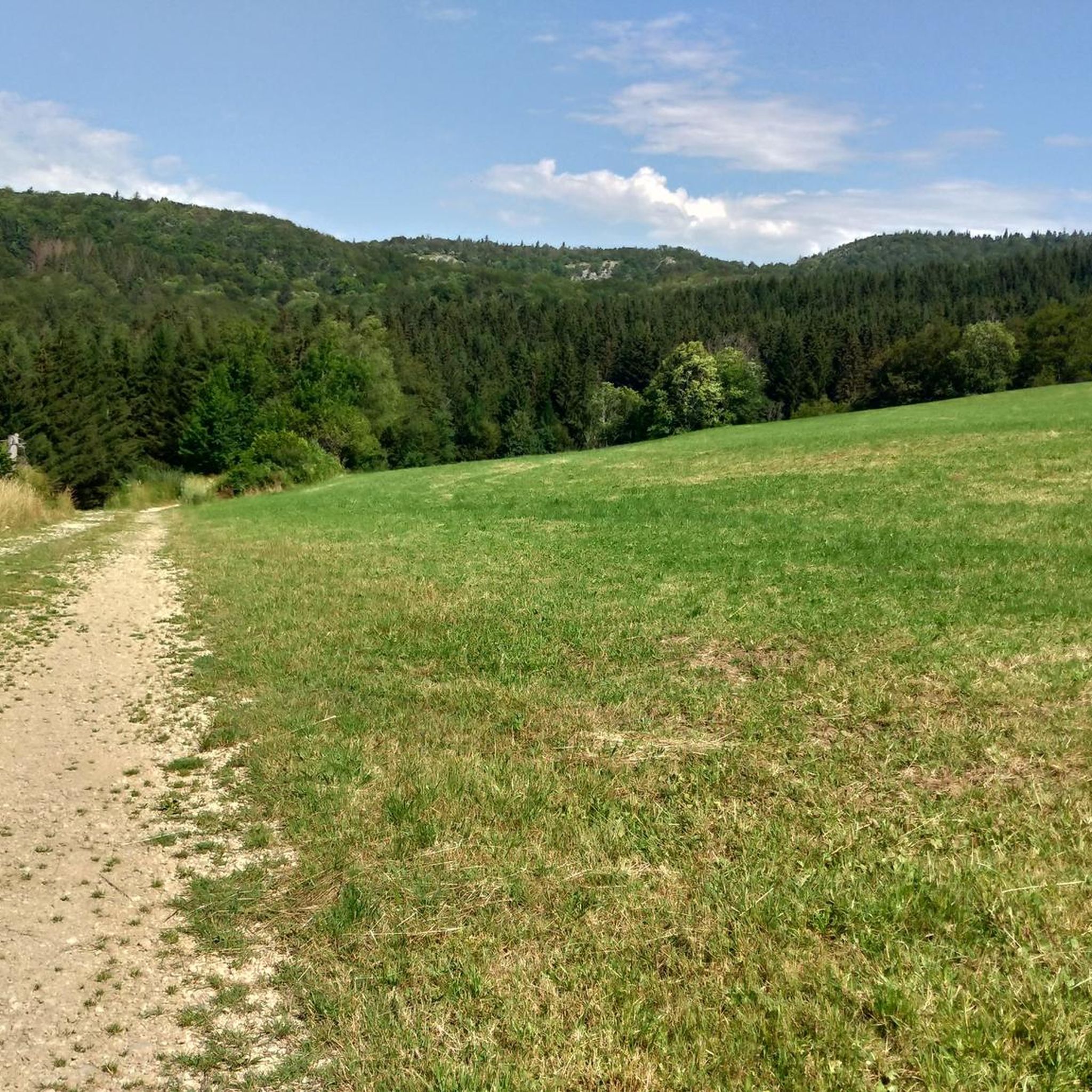
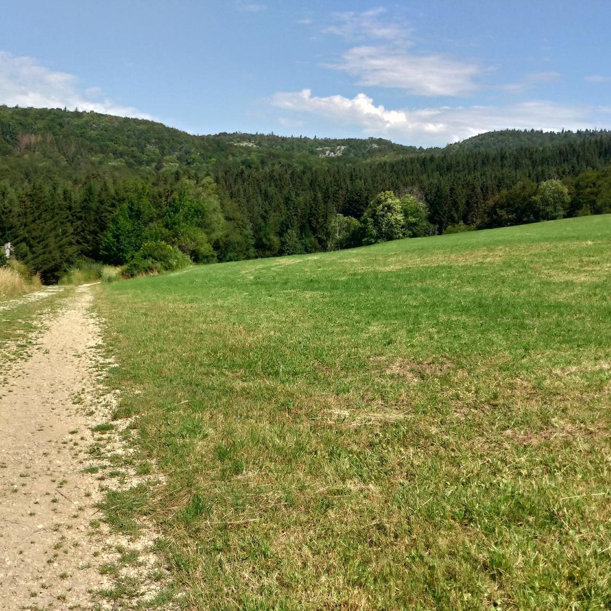
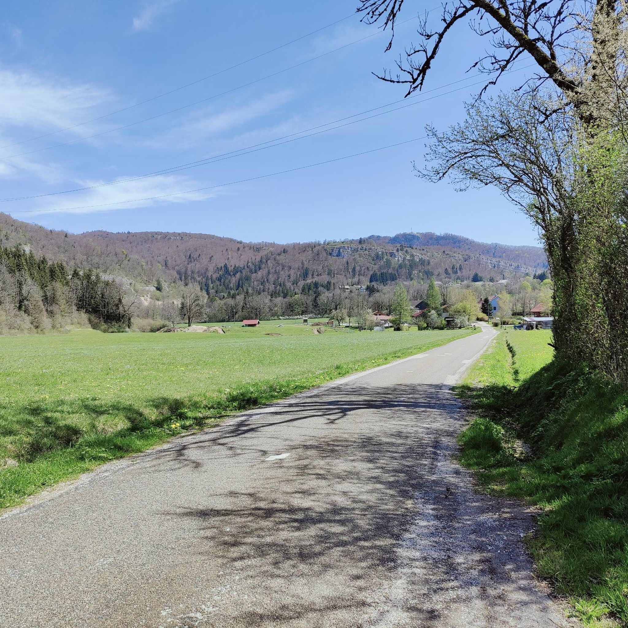
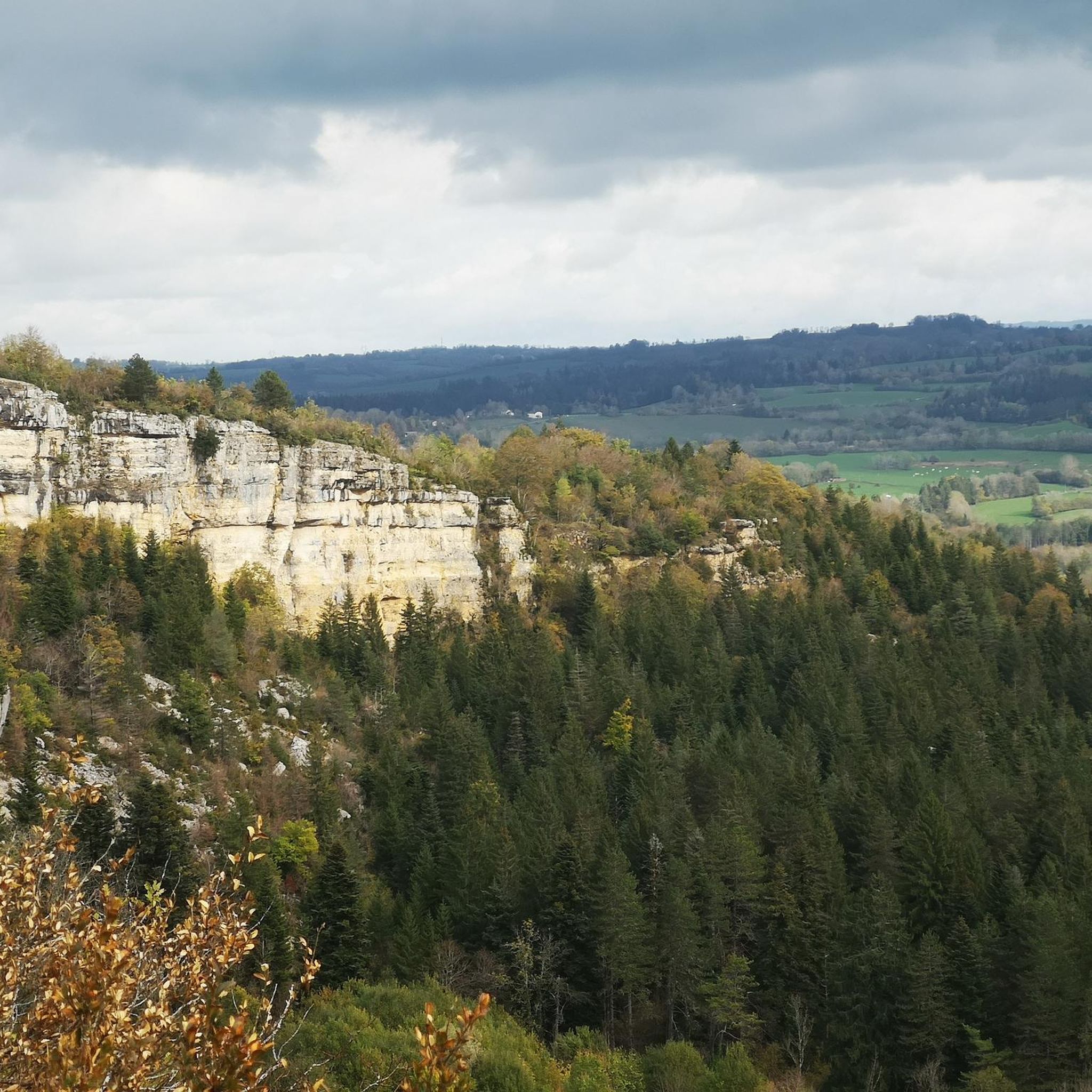
Hiking around Sirod offers a diverse landscape characterized by river valleys, waterfalls, and varied forest terrain. The region features the "Pertes de l'Ain," where the Ain River disappears and reappears, creating unique natural features. Trails often include moderate elevation changes, providing views of the surrounding countryside and historical sites. The area provides a mix of easy riverside paths and more challenging routes through hills and woodlands.
Best hiking trails around Sirod
- The most popular hiking route is Pertes de l'Ain…
Last updated: November 6, 2026
4.5
(47)
205
hikers
6.81km
02:10
280m
270m
4.6
(54)
326
hikers
4.97km
01:28
150m
150m
Easy hike. Easily walkable paths.

4.3
(7)
57
hikers
15.3km
04:44
420m
420m
Moderate hike. Good fitness required. Mostly walkable paths. Sure-footedness required.
4.1
(7)
55
hikers
5.30km
01:27
90m
90m
Easy hike. Easily walkable paths.
4.6
(8)
56
hikers
6.65km
01:49
100m
100m
Easy hike. Easily walkable paths.
Get access to more routes and recommendations from other explorers.
Already have an account?
Our route recommendations are based on thousands of hikes, rides, and runs completed by other people on komoot.
Start today with a free account
Your next adventure awaits.
Tips from the Community

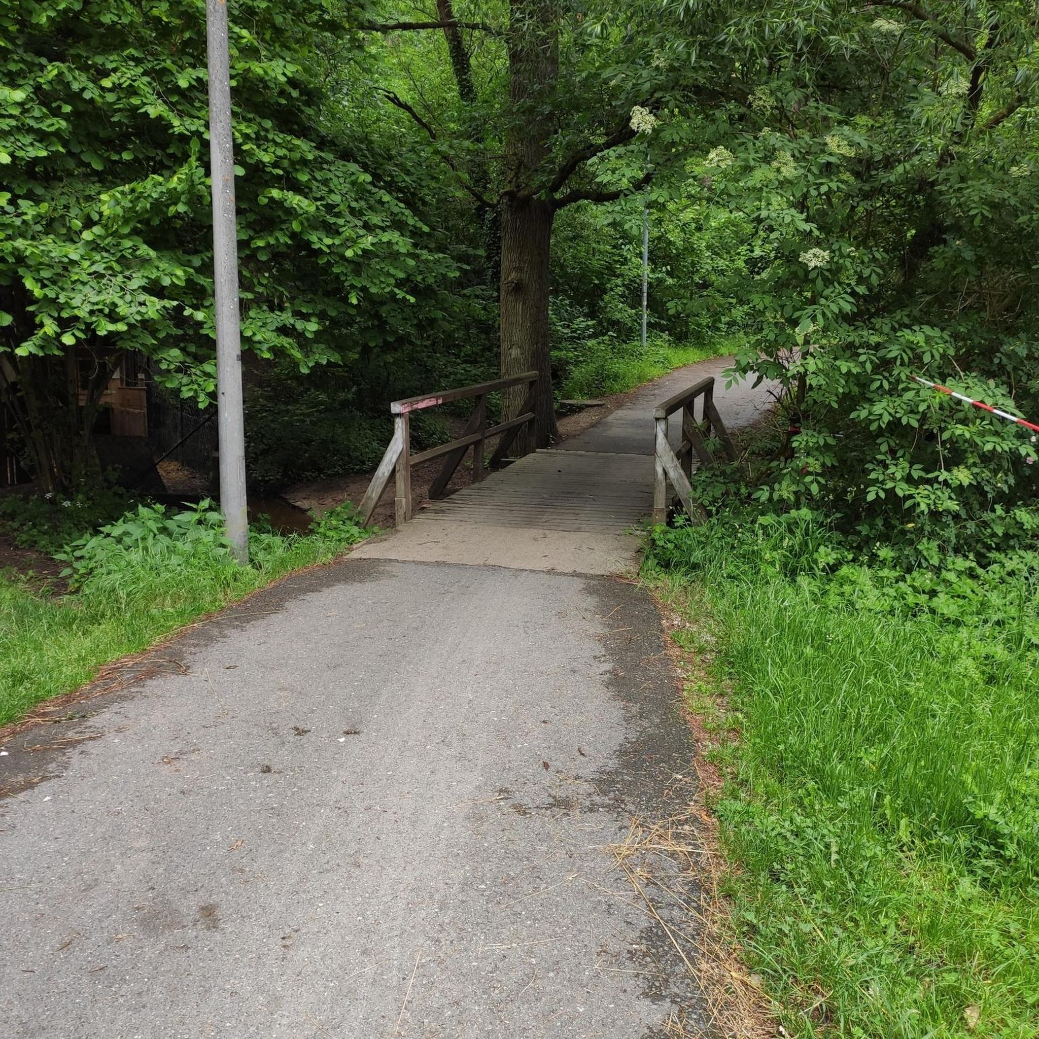
Signposted by the city as “Cascade des Tufs.” As of September 2026, due to an extreme drought, the waterfall is unfortunately completely dried up. Normally, it is covered in moss and is absolutely beautiful. 🌿💦 Feel free to share and upload your photos to showcase its beauty when it is flowing. 📸✨
0
0

Nice view over sirod
0
0
View of a magnificent waterfall from the bridge.
0
0


A short walk through the footbridges and belvederes that line the Ain after its departure, magnificent scenery
0
0

Several million years ago, the Ain was lost underground, in a labyrinth of cavities, an underground gallery called "losses". Over time, the work of water erosion has done its work, and has nibbled the limestone and destroyed the vault of the underground gallery. It remains today a unique natural site where water makes its way between rocky piles and stone remains.
1
0
The ruins of the castle of Château-Vilain occupy a remarkable position, they are in the Jura mountains, on the second plateau at an altitude of 720m, and dominate the valley of the Ain and the losses of the river
0
0

At the source of the Ain, you will find footbridges and interpretation panels to help you navigate and understand the site. A beautiful and relaxing place to take a break from your run.
2
0
Frequently Asked Questions
What kind of hiking trails can I expect around Sirod?
Hiking around Sirod offers a diverse landscape featuring river valleys, impressive waterfalls, and varied forest terrain. You'll find unique natural features like the "Pertes de l'Ain," where the Ain River disappears and reappears. Trails often include moderate elevation changes, providing scenic views of the countryside and historical sites. The area provides a good mix of easy riverside paths and more challenging routes through hills and woodlands.
How many hiking trails are available in the Sirod region?
There are over 200 hiking routes available around Sirod, catering to various skill levels and preferences. This includes approximately 86 easy routes, 118 moderate routes, and 14 more challenging trails for experienced hikers.
Are there any easy, family-friendly hikes in Sirod?
Yes, Sirod offers several easy and family-friendly options. For instance, the Pertes de l'Ain – Waterfall loop from Bourg-de-Sirod is an easy 3.1-mile (4.9 km) path that provides a gentle walk to the waterfalls of the Ain River. Another easy option is the Pertes de l'Ain – Waterfall loop from Sirod, which is 4.1 miles (6.6 km) long.
Are there any circular hiking routes around Sirod?
Many of the trails around Sirod are designed as circular routes, allowing you to start and end at the same point. A popular example is the Pertes de l'Ain and Château Villain Loop, a 4.2-mile (6.8 km) moderate trail. Another option is the Waterfall at the Source of the Ain – Ain Spring loop from Conte, an easy 3.3-mile (5.3 km) route.
What natural features or landmarks can I see along the hiking trails?
The region is rich in natural beauty, particularly waterfalls and gorges. You can explore the unique Langouette Gorges, or discover various waterfalls such as the Bief de la Ruine Waterfalls, Moulin du Saut Waterfall, Maillys Falls, and Billaude Waterfall. Many trails also pass through the distinctive 'Pertes de l'Ain' area.
What do other hikers enjoy most about the trails in Sirod?
The trails in Sirod are highly rated by the komoot community, with an average score of 4.4 stars from over 1,200 reviews. Hikers often praise the beautiful river features, the numerous waterfalls, and the varied forested hills that offer options for different ability levels. Over 7,300 hikers have used komoot to explore Sirod's diverse terrain.
Are there any longer or more challenging hikes in Sirod?
Yes, for those seeking a longer adventure, the Waterfall – Pertes de l'Ain loop from Sirod is a moderate 9.1-mile (14.7 km) trail that takes approximately 4 hours 30 minutes to complete, leading through river landscapes and forests. There are 14 routes classified as difficult for experienced hikers.
What is the best time of year to go hiking in Sirod?
Given the region's characteristics of river valleys, waterfalls, and forests, spring and autumn are generally ideal for hiking in Sirod. During these seasons, the weather is typically mild, and the natural scenery is at its most vibrant, with lush greenery in spring and colorful foliage in autumn. Summer can also be pleasant, especially for shaded forest trails and enjoying the waterfalls.
Are there any trails that offer views of historical sites?
Yes, some trails incorporate historical elements. For example, the Pertes de l'Ain and Château Villain Loop passes by Château Villain, offering a glimpse of local history amidst the natural landscape.
What kind of elevation changes can I expect on Sirod's hiking trails?
The trails around Sirod often feature moderate elevation changes. While there are easy riverside paths with minimal ascent, many routes, especially those through hills and woodlands, will involve some uphill and downhill sections. For instance, the Pertes de l'Ain and Château Villain Loop has an elevation gain of approximately 279 meters.
Most popular attractions around Sirod

Get inspired with the komoot mobile app


Explore more
Browse the best Hikes in other regions.
