The best walks and hikes around Champdolent
4.6
(118)
696
hikers
87
hikes
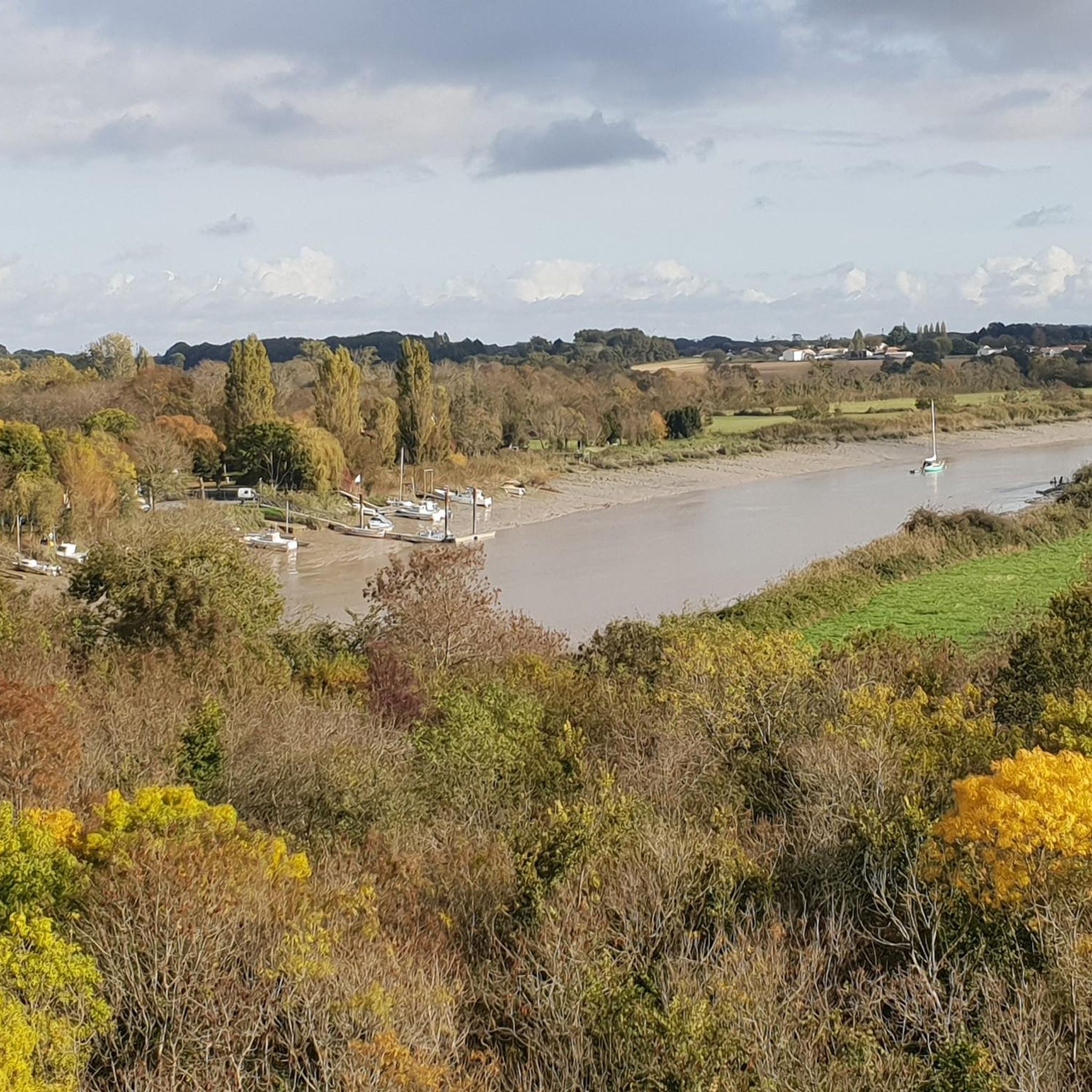
Hiking around Champdolent offers access to a gently undulating landscape in the Charente-Maritime department of southwestern France. The area features the Boutonne River along its northern and western borders, providing riverside paths through meadows and marshes. While primarily agricultural, forests constitute nearly 9% of the land, offering wooded pathways for exploration. The highest point in the commune reaches 35 meters.
Best hiking trails in Champdolent
- The most popular hiking route is "Art Nouveau" style house loop from Saint-Hippolyte, a 5.9…
Last updated: November 1, 2026
4.5
(2)
6
hikers
11.3km
02:58
90m
90m
Moderate hike. Good fitness required. Easily walkable paths.
5.0
(1)
5
hikers
Moderate hike. Good fitness required. Easily walkable paths.

5.0
(2)
5
hikers
14.8km
03:46
50m
50m
Moderate hike. Good fitness required. Easily walkable paths.
5.0
(1)
4
hikers
11.2km
02:52
40m
40m
Moderate hike. Good fitness required. Easily walkable paths.
4.0
(1)
3
hikers
7.25km
01:52
30m
30m
Easy hike. Easily walkable paths.
Get access to more routes and recommendations from other explorers.
Already have an account?
Our route recommendations are based on thousands of hikes, rides, and runs completed by other people on komoot.
Start today with a free account
Your next adventure awaits.


Tips from the Community

old railway bridge with a view of the Charente see the impressive current during the rising tides
0
0

Beautiful fruit, vegetable and ornamental gardens outside the walls of Beurlay.
0
0

Charming area with a bridge over the Garente.
0
1
The river Charente flows sluggishly...
0
1
Frequently Asked Questions
What types of hiking trails can I expect around Champdolent?
The hiking trails around Champdolent primarily feature a gently undulating landscape, with many paths following the picturesque Boutonne river through meadows and marshes. You'll also find wooded pathways, as nearly 9% of the commune's land is forested. The highest point is 35 meters, offering varied but generally accessible terrain.
How many hiking routes are there in the Champdolent area?
There are over 70 documented hiking routes available around Champdolent, catering to various preferences and skill levels. These include 33 easy trails and 41 moderate trails, ensuring options for most hikers.
Are there any family-friendly hiking options near Champdolent?
Yes, many of the trails around Champdolent are suitable for families. The gently undulating terrain and riverside paths make for pleasant walks. For example, the Hiking loop from Beurlay is a moderate 8.5 km path that traverses rural landscapes and is popular with local hikers, offering a good option for families looking for a slightly longer walk.
What do other hikers enjoy most about the trails in Champdolent?
The trails in Champdolent are highly regarded by the komoot community, with an average rating of 4.6 stars from over 90 reviews. Hikers often praise the diverse scenery, including riverside walks along the Boutonne and peaceful wooded sections, as well as the well-maintained paths that showcase the region's natural beauty and rural charm.
Are there any circular hiking routes available in Champdolent?
Yes, many of the hiking routes around Champdolent are circular, allowing you to start and end at the same point. A popular example is the Bois de la Tour loop from Bords, which is 11.3 km long and takes you through wooded areas and open countryside.
What are some notable attractions or landmarks to see while hiking near Champdolent?
While hiking near Champdolent, you can explore several historical and cultural points of interest. These include the impressive Crazannes Castle, the historic Tonnay-Charente Suspension Bridge, and the beautiful Sainte-Madeleine Church of Crazannes. The nearby town of Saint-Savinien-sur-Charente also offers charming sights like its church with statues of the Apostles.
What is the best time of year to go hiking in Champdolent?
The Charente-Maritime region, including Champdolent, generally offers pleasant hiking conditions from spring through autumn. Spring brings blooming flora, while autumn provides comfortable temperatures and beautiful foliage. Summers can be warm, making early morning or late afternoon hikes ideal. Winters are typically mild, allowing for year-round exploration, though some paths might be muddier.
Are there any dog-friendly hiking trails around Champdolent?
Many of the rural and natural trails around Champdolent are suitable for dogs, provided they are kept under control, especially when passing through agricultural areas or near livestock. It's always advisable to check local signage for specific rules regarding dogs in certain areas or nature reserves.
Are there any longer, more challenging hikes for experienced hikers?
While most trails are easy to moderate, some routes offer longer distances. For instance, the Gardens of Beurlay loop from La Vallée covers nearly 15 km, providing a more extended experience through the region's landscapes. The elevation changes remain gentle, making the challenge more about endurance than steep climbs.
Can I access hiking trails in Champdolent using public transport?
Champdolent is a rural commune, and direct public transport access to specific trailheads might be limited. It's generally recommended to have a car for flexibility when exploring the hiking routes in this area of Charente-Maritime. However, local bus services might connect to nearby towns like Bords or Saint-Savinien, from which some trails could be accessible.
Where can I find parking for hiking trails in Champdolent?
Parking for hiking trails in Champdolent and the surrounding area is typically available in the villages where routes begin. Look for designated parking areas near churches, town halls (Mairie), or public spaces in starting points like Saint-Hippolyte, Beurlay, Bords, or La Vallée. Always ensure you park responsibly and do not obstruct local access.
Are there opportunities for riverside walks along the Boutonne river?
Yes, the Boutonne river forms the northern and western borders of Champdolent, offering numerous opportunities for tranquil riverside walks. These paths wind through meadows and marshes, providing a chance to observe local flora and fauna in a peaceful setting. The Hiking loop from Beurlay is one such route that traverses the rural landscape near the Boutonne.
Most popular routes around Champdolent
Most popular attractions around Champdolent

Get inspired with the komoot mobile app


Explore more
Browse the best Hikes in other regions.
