The best road cycling routes around Mervilla
4.3
(641)
14,897
riders
599
rides
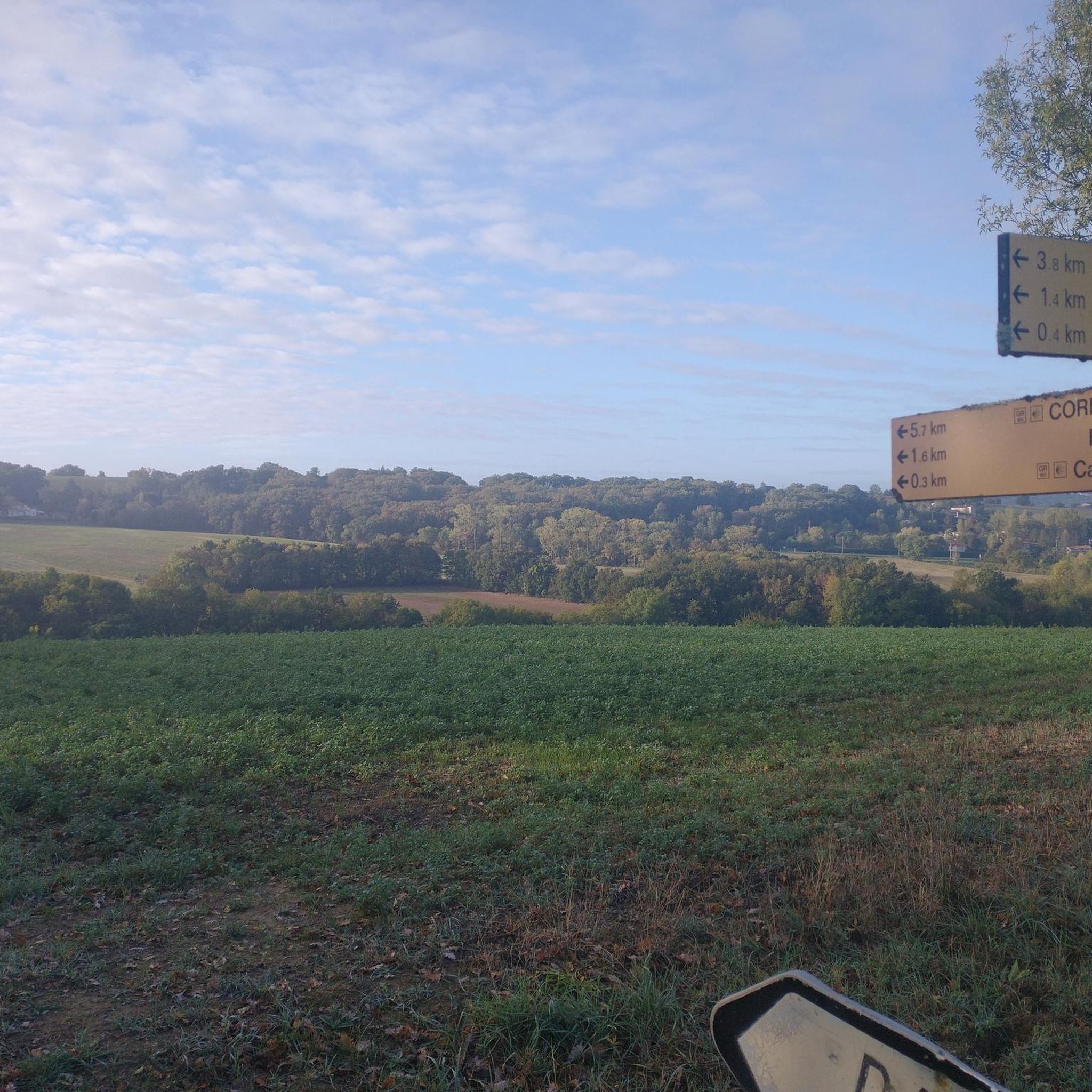
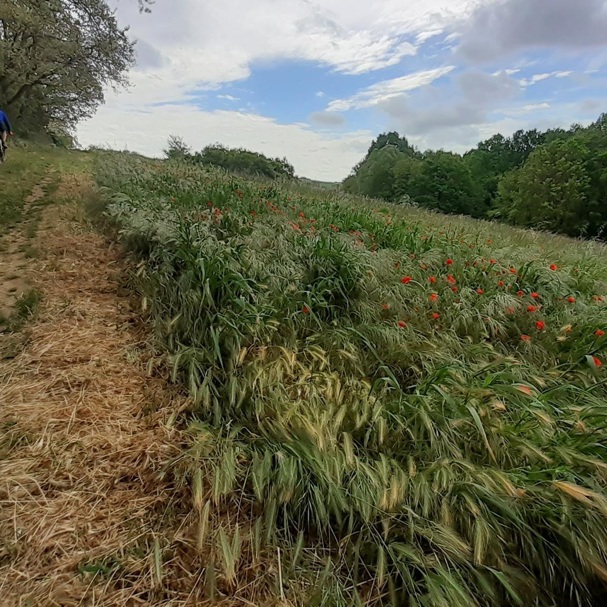
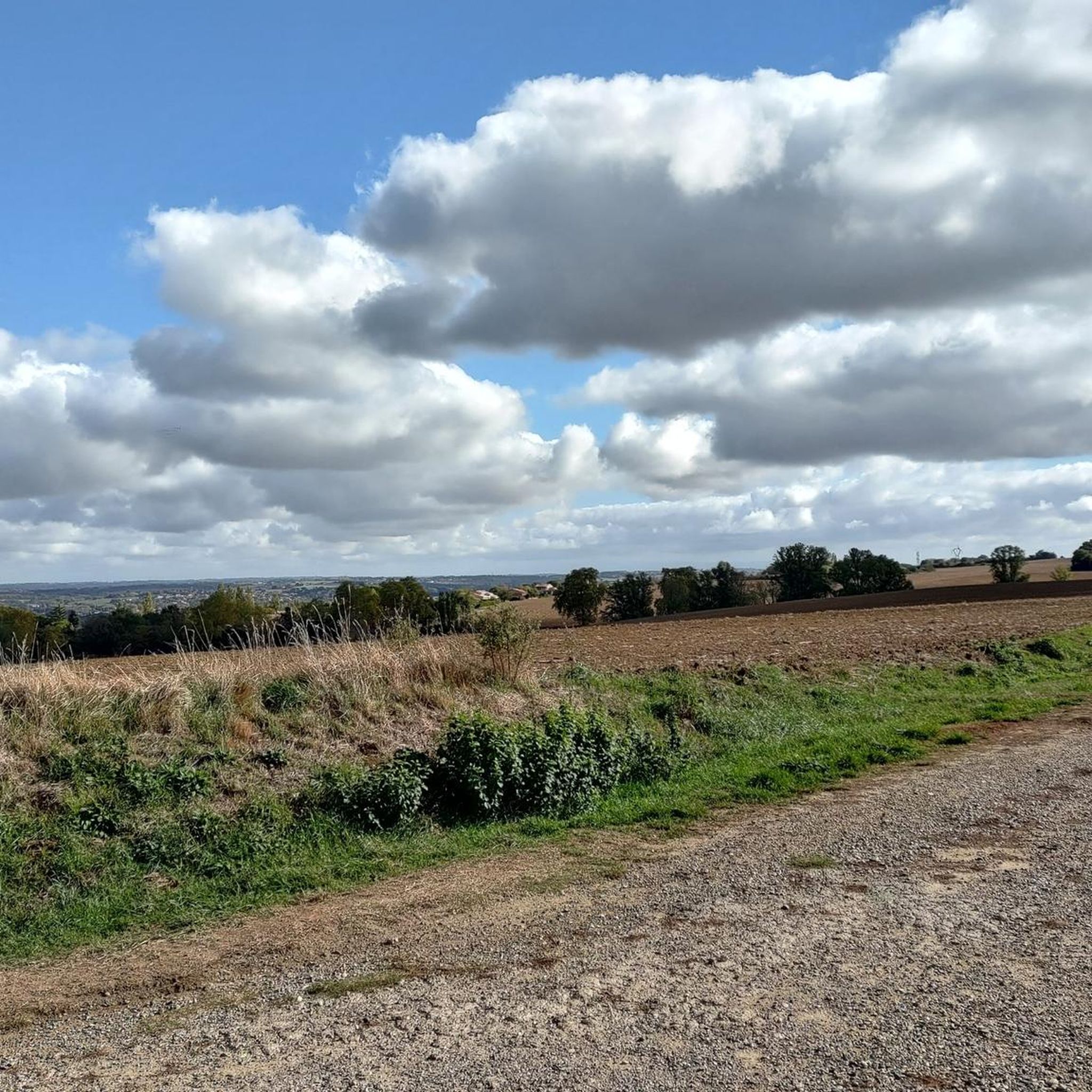
Road cycling around Mervilla, located in the Haute-Garonne department of southwestern France, offers diverse terrain for cyclists. The region is characterized by a mix of greenery, plains, and hills, interspersed with woods, providing varied backdrops for rides. Cyclists can expect to find little-used small roads and secondary roads, which are suitable for quiet exploration. The landscape includes features such as the Garonne River and the historic Canal du Midi, offering both flat sections and a series of climbs.
Best road cycling routes around Mervilla
- The most popular road cycling route is Moulin de Montbrun-Lauragais – Moulin de Montbrun-Lauragais loop from Péchabou, a 22.4 miles (36.0 km) trail that takes 1 hour 43 minutes to complete. This moderate route features varied terrain with climbs.
- Another top favourite among local road cyclists is Vic lock (5) – Canal du Midi loop from Castanet-Tolosan, an easy 10.9 miles (17.5 km) path. This route offers scenic riding along the Canal du Midi.
- Local road cyclists also love the Aureville Hill – The Balconies of Venerque loop from Castanet-Tolosan, a 22.6 miles (36.3 km) trail leading through plains and hills, often completed in about 1 hour 39 minutes.
- Road cycling around Mervilla is defined by greenery, plains, hills, and woods, with routes often following quiet secondary roads. The network offers options for different ability levels, from easy canal-side paths to moderate routes with climbs.
- The routes in Mervilla are highly rated by the komoot community with an average score of 4.3 stars from over 500 reviews. More than 13,000 road cyclists have used komoot to explore Mervilla's varied terrain.
Last updated: October 5, 2026
4.6
(5)
148
riders
Easy road ride. Great for any fitness level. Mostly well-paved surfaces and easy to ride.
5.0
(5)
55
riders
Moderate road ride. Good fitness required. Some segments of this route may be unpaved and difficult to ride.

4.0
(1)
23
riders
36.2km
01:39
390m
390m
Moderate road ride. Good fitness required. Mostly well-paved surfaces and easy to ride.
5.0
(1)
27
riders
34.0km
01:26
190m
190m
Easy road ride. Great for any fitness level. Mostly well-paved surfaces and easy to ride.
4.0
(1)
18
riders
23.5km
01:12
390m
380m
Moderate road ride. Good fitness required. Some segments of this route may be unpaved and difficult to ride.
Get access to more routes and recommendations from other explorers.
Already have an account?
Our route recommendations are based on thousands of hikes, rides, and runs completed by other people on komoot.
Start today with a free account
Your next adventure awaits.


Tips from the Community

Round arch bridge typical of the late 17th century, which could date back to the construction of the Canal. It shows traces of the destruction of its vault by Soult's army after the Battle of Toulouse on April 10, 1814, and its repair in 1821. Watering trough attached to the upstream side of the left bank abutment.
0
0
Typical semi-circular arch bridge from the late 17th century, which could date back to the construction of the Canal. It shows traces of the destruction of its vault by Soult's army after the battle of Toulouse on April 10, 1814, and its repair in 1821. Watering trough attached to the upstream side of the left bank abutment.
0
0
The Canal du Midi, formerly Canal Royal, is a technical feat from the 17th century, designed by Pierre-Paul Riquet to connect the Atlantic to the Mediterranean. Today, it is above all a place for relaxation and discovery, where heritage, nature, and conviviality meet.
0
0
The Canal du Midi, formerly the Royal Canal, is a 17th-century technical feat designed by Pierre-Paul Riquet to connect the Atlantic to the Mediterranean. Today, it is above all a place for relaxation and discovery, where heritage, nature, and conviviality blend together.
0
0
The Donneville bridge appears on the 1808 Napoleonic cadastre map. It is part of the bridges built during Riquet's time. However, it was destroyed on April 12, 1814 by Marshal Soult during the battle of Toulouse. Indeed, driven out of Spain, the French soldiers retreated to Toulouse to resist better, but the hostility of the predominantly royalist population forced them to fall back to Castelnaudary. Marshal Soult, anxious to keep his army intact while retreating south of the Canal du Midi, protected his retreat and blew up the bridges, including the one at Donneville. In 1821, the bridge was rebuilt identically.
0
0

Pleasant and easy route following the Canal du Midi. Avoid in strong E/SE wind. Recommended for hybrid / mountain bikes.
1
0


The Pompertuzat bridge, also known as the Deyme bridge, dates from the 19th century. It was built of brick. It was demolished in 1814. Marshal Soult's army was followed by Wellington's troops, composed of English soldiers. They passed through Pompertuzat in April 1814, and to protect the French army, the bridge was demolished and rebuilt to restore communication with Belberaud and Escalquens.
2
0
Frequently Asked Questions
What kind of terrain can I expect when road cycling around Mervilla?
Road cycling around Mervilla offers a diverse landscape characterized by a mix of greenery, plains, and hills, interspersed with woods. You'll find many little-used small roads and secondary roads, providing quiet routes. The area features a nice series of climbs and steep bumps, as well as flatter sections, particularly along the historic Canal du Midi.
How many road cycling routes are available in the Mervilla area?
There are over 600 road cycling routes around Mervilla documented on komoot. These routes cater to various skill levels, from easy canal-side paths to more challenging rides with significant climbs.
Are there routes suitable for beginners or those looking for an easy ride?
Yes, Mervilla offers nearly 100 easy road cycling routes. For a relaxed ride, consider the Vic lock (5) – Canal du Midi loop from Castanet-Tolosan, which is an easy 10.9-mile (17.5 km) path offering scenic riding along the Canal du Midi.
What do other cyclists say about road cycling in Mervilla?
The road cycling routes around Mervilla are highly rated by the komoot community, with an average score of 4.3 stars from over 500 reviews. Cyclists often praise the varied terrain, the quiet secondary roads, and the beautiful natural scenery, including the greenery, plains, and woods.
Are there any challenging road cycling routes with significant climbs?
Yes, the region provides routes with a 'nice series of climbs and steep bumps'. For a moderate challenge, the Moulin de Montbrun-Lauragais – Moulin de Montbrun-Lauragais loop from Péchabou covers 22.4 miles (36.0 km) with varied terrain and climbs, and the Aureville Hill – The Balconies of Venerque loop from Vigoulet-Auzil also features substantial elevation gain over 23.5 miles (37.8 km).
What are some notable natural features or landmarks I might encounter on a ride?
You'll find the Garonne River and the historic Canal du Midi, a UNESCO World Heritage site, which offers scenic towpaths. The landscape is rich with greenery, plains, hills, and woods. You might also pass by highlights such as the Castanet Lock or the Brick Bridge on the Canal du Midi at Pompertuzat.
Are there any routes that offer views of the 'Balconies of Venerque'?
Yes, the Aureville Hill – The Balconies of Venerque loop from Castanet-Tolosan is a 22.6-mile (36.3 km) trail that leads through plains and hills, offering views of the Balconies of Venerque. Another option is The Balconies of Venerque – Saint-Lys Church loop from Aureville.
What is the best time of year for road cycling in Mervilla?
The Occitanie region, where Mervilla is located, generally offers pleasant cycling conditions for much of the year. Spring and autumn are often ideal, with milder temperatures and beautiful scenery. Summer can be warm, but early mornings or late afternoons are still very enjoyable. Winter rides are possible, though cooler.
Can I find routes that are loops or circular?
Many of the road cycling routes around Mervilla are designed as loops, allowing you to start and finish at the same point. Examples include the Moulin de Montbrun-Lauragais – Moulin de Montbrun-Lauragais loop from Péchabou and the Vic lock (5) – Canal du Midi loop from Castanet-Tolosan.
Are there any attractions near the cycling routes where I can take a break?
Yes, the area around Mervilla is rich in attractions. Along the Canal du Midi, you might find charming villages or locks. For a break, you could visit the Pech David Recreation Area, or explore the nearby city of Toulouse with its gardens and heritage sites.
Is Mervilla well-connected for cyclists using public transport?
Mervilla is located near Ramonville-Saint-Agne and Toulouse, which are larger urban centers with public transport options. While specific public transport links directly to cycling trailheads in Mervilla might be limited, accessing the broader region via public transport and then cycling to your starting point is feasible. It's advisable to check local transport schedules and bicycle carriage policies.
What kind of roads will I be cycling on in Mervilla?
You will primarily be cycling on 'little-used small roads' and 'secondary roads'. These are ideal for road cyclists seeking quieter routes away from heavy traffic, allowing for a more immersive experience in the region's natural beauty.
Most popular attractions around Mervilla

Get inspired with the komoot mobile app


Explore more
Browse the best Road cycling routes in other regions.
