The best walks and hikes around Andelarre
4.5
(312)
1,970
hikers
137
hikes
Hiking around Andelarre offers exploration through a landscape characterized by verdant valleys, extensive fields, and serene woods in the Haute-Saône department. The region features La Côte-d'Andelarre, the highest point in the Vesoul area at 428 meters, providing elevated views. Water features like Ludolac and Lake Vesoul-Vaivre are also present in the vicinity. The terrain includes gentle greenways and more challenging paths with varied elevation.
Best hiking trails around Andelarre
- The most popular hiking route is Source de la Baignoire loop…
Last updated: October 8, 2026
4.6
(5)
27
hikers
11.8km
03:18
230m
230m
Moderate hike. Good fitness required. Easily-accessible paths. Suitable for all skill levels.
4.6
(12)
29
hikers
5.22km
01:30
120m
120m
Easy hike. Great for any fitness level. Easily-accessible paths. Suitable for all skill levels.

5.0
(2)
25
hikers
10.6km
02:57
210m
210m
Moderate hike. Good fitness required. Easily-accessible paths. Suitable for all skill levels.
4.7
(3)
9
hikers
5.31km
01:26
70m
70m
Easy hike. Great for any fitness level. Easily-accessible paths. Suitable for all skill levels.
4.0
(2)
5
hikers
10.3km
03:05
320m
320m
Moderate hike. Good fitness required. Easily-accessible paths. Suitable for all skill levels.
Get access to more routes and recommendations from other explorers.
Already have an account?
Our route recommendations are based on thousands of hikes, rides, and runs completed by other people on komoot.
Start today with a free account
Your next adventure awaits.

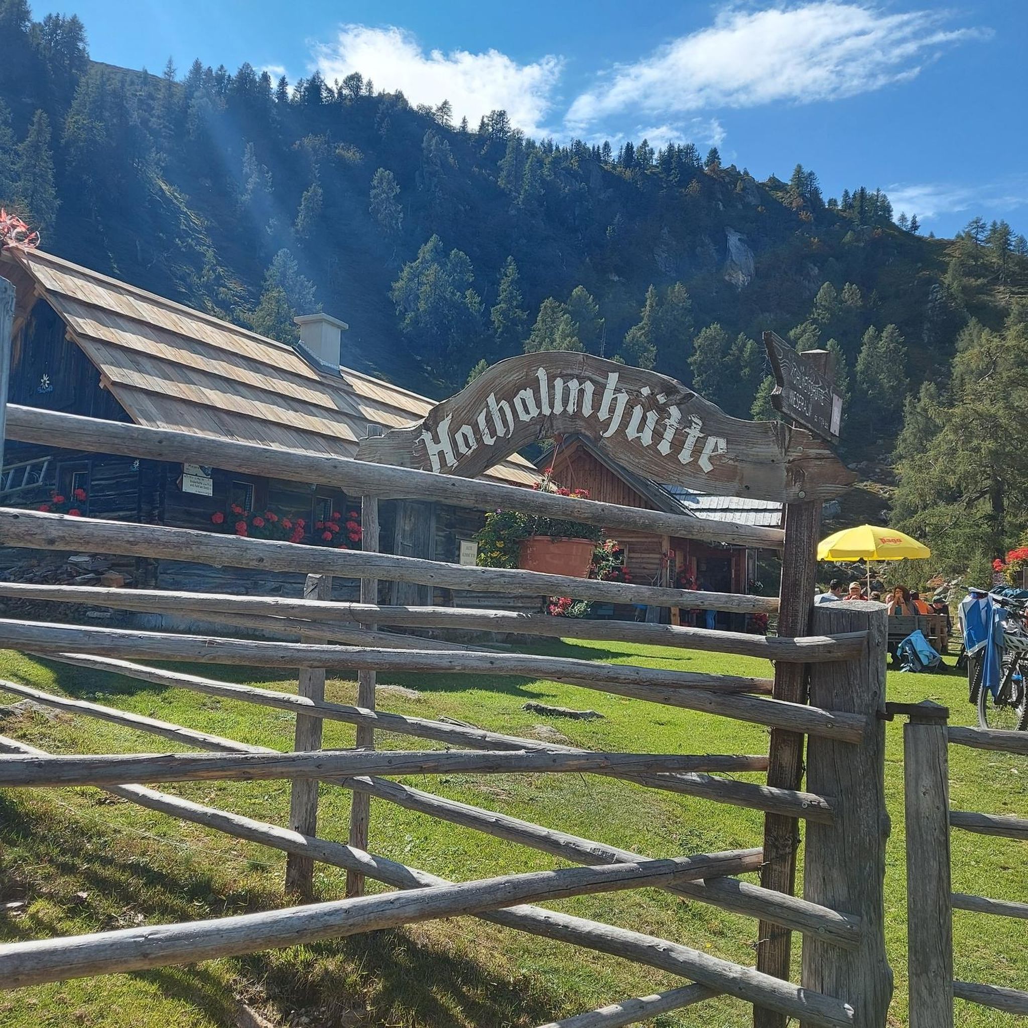
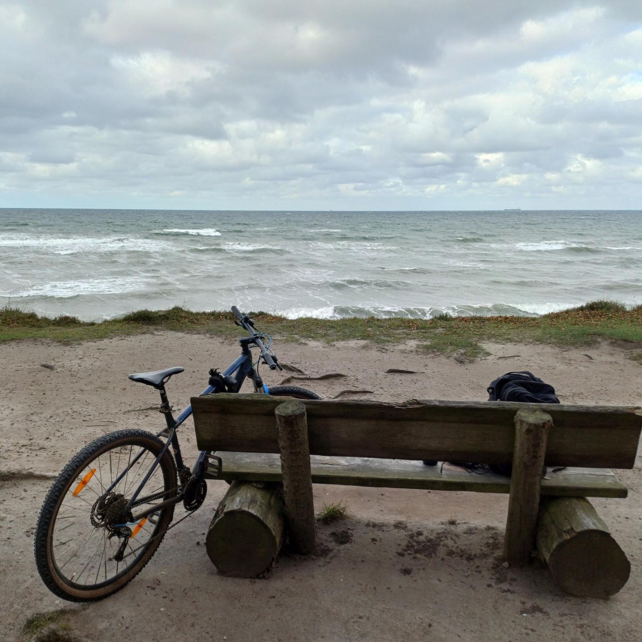


Tips from the Community


Great rock formations, an amazing view of Charrier and a wonderful nature reserve at the back
4
0
Frequently Asked Questions
How many hiking trails are available around Andelarre?
There are over 115 hiking trails around Andelarre, offering a wide range of options for different skill levels. You'll find 64 easy routes and 51 moderate trails to explore the region's diverse landscape.
What kind of landscape can I expect to see while hiking in Andelarre?
Hiking around Andelarre offers exploration through a landscape characterized by verdant valleys, extensive fields, and serene woods in the Haute-Saône department. A prominent natural feature is La Côte-d'Andelarre, which stands as the highest point in the Vesoul region at 428 meters, providing expansive panoramic views. The vicinity also includes water-related attractions like Ludolac and Lake Vesoul-Vaivre.
Are there any historical or natural landmarks to discover along the trails?
Yes, the region boasts several intriguing landmarks. You can explore the historical Saint-Albin Tunnel, a 681-meter canal tunnel, or visit the Chemilly footbridge in a charming village. The La Trace du Courlis Greenway is also a notable feature, ideal for gentle mobility through fields and woods.
What do other hikers say about the trails in Andelarre?
The routes in Andelarre are highly rated by the komoot community, with an average score of 4.6 stars from over 200 reviews. Hikers often praise the varied terrain, from easy greenways to moderate ascents, and the tranquil backdrop of green valleys and serene woods.
Are there family-friendly hiking options in Andelarre?
Absolutely. The region offers many easy trails suitable for families. For instance, the Grotte de Solborde loop from Andelarrot is an easy 4.9 km path that takes about 1 hour 25 minutes, perfect for a relaxed family outing. The La Trace du Courlis Greenway is also highlighted as a family-friendly route.
Can I bring my dog on the hiking trails in Andelarre?
Many trails in the Andelarre region are suitable for dogs, especially those winding through the extensive fields and woods. It's always recommended to keep your dog on a leash and ensure you follow local regulations regarding pets in natural areas. Always check specific route details on komoot for any restrictions.
Are there any circular hiking routes in the area?
Yes, Andelarre features several excellent circular routes. Beyond the popular ones mentioned in the guide's introduction, you can explore the Grotte de Solborde loop from Échenoz-la-Méline, a moderate 7 km trail that offers a good challenge and takes around 2 hours to complete.
What is the best time of year to go hiking in Andelarre?
The region's green valleys, fields, and woods make it appealing throughout the warmer months. Spring and autumn offer pleasant temperatures and beautiful scenery, with spring bringing lush greenery and autumn showcasing vibrant colors. Summer is also suitable, but it's advisable to start early to avoid the midday heat.
Is public transport available to access hiking trailheads in Andelarre?
While Andelarre itself is a small commune, the nearby town of Vesoul (just 6 kilometers away) serves as a local hub and may offer public transport connections to surrounding areas. For detailed information on public transport options to specific trailheads, it's best to consult local transport schedules or plan your journey in advance.
Are there specific parking areas for hikers?
Many trailheads in and around Andelarre, especially for popular routes, typically have designated parking areas. For example, routes starting directly from Andelarre or nearby villages like Chariez often have convenient spots. It's always a good idea to check the starting point details on komoot for specific parking information for your chosen route.
Are permits required for hiking in the Andelarre region?
Generally, permits are not required for hiking on the established trails and greenways in the Andelarre region or the broader Haute-Saône department. However, always be mindful of private property signs and respect local regulations, especially if venturing off marked paths.
Most popular routes around Andelarre
Most popular attractions around Andelarre

Get inspired with the komoot mobile app


Explore more
Browse the best Hikes in other regions.
