The best MTB trails around Malbouhans
4.6
(281)
1,277
riders
124
rides
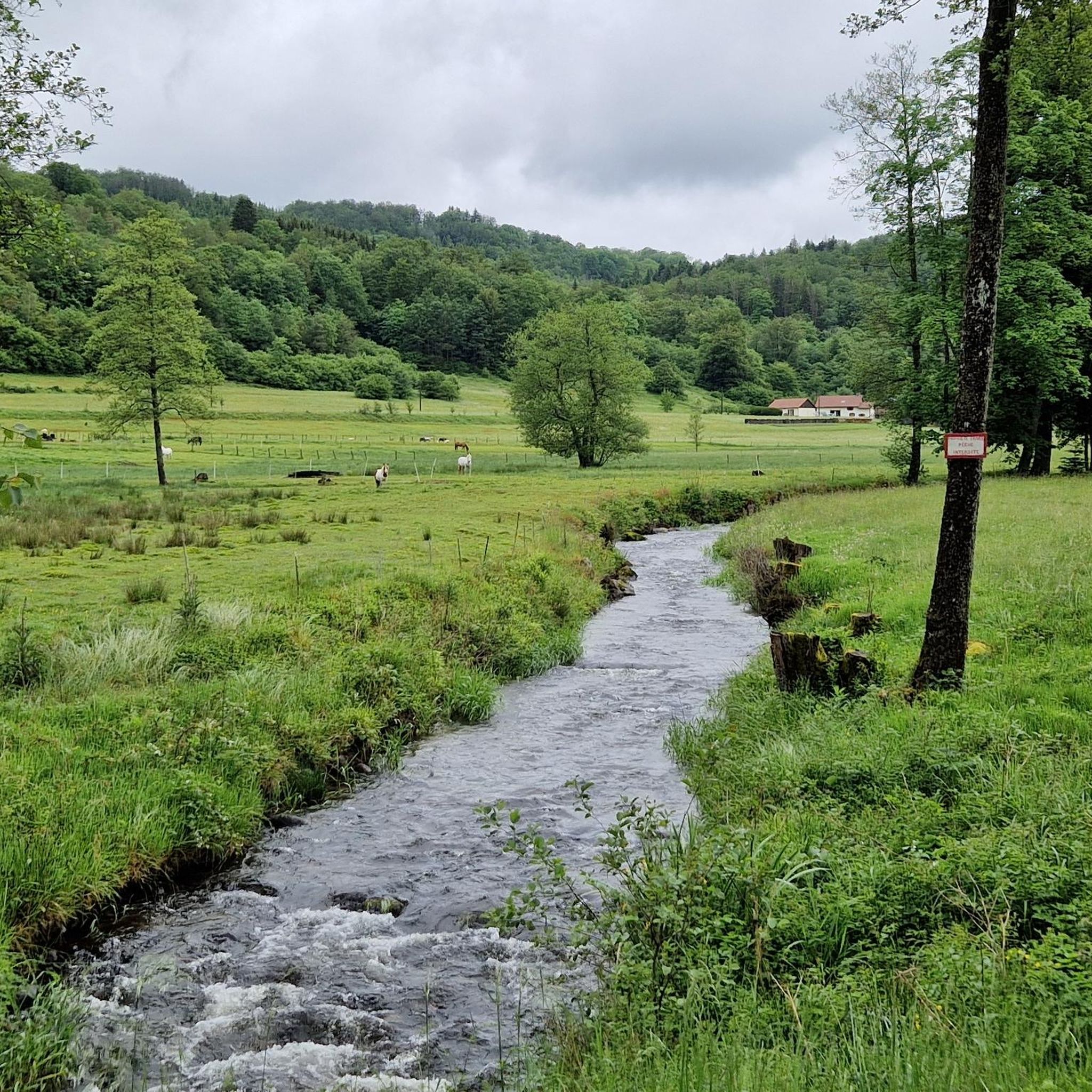
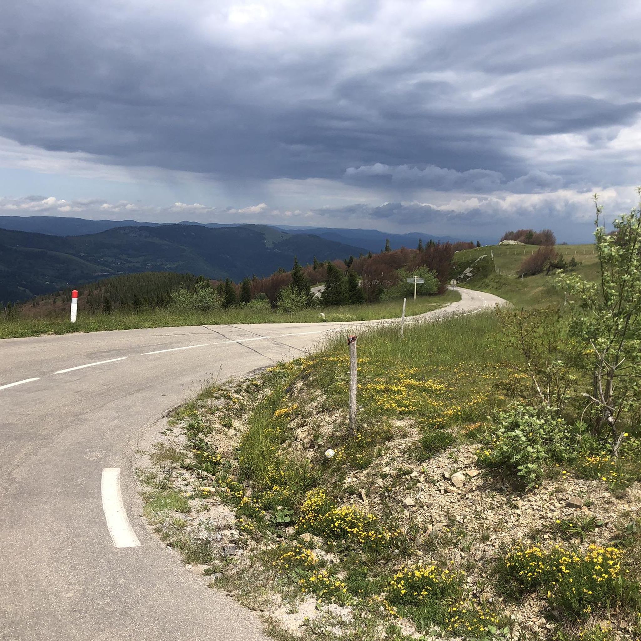
Mountain biking around Malbouhans offers a diverse landscape characterized by rolling hills, dense woodlands, and numerous ponds and reservoirs. The region features varied terrain with significant elevation changes, providing options from moderate climbs to challenging ascents. Trails often wind through forested areas and along the shores of water bodies, offering a mix of natural surfaces. The area's topography supports a range of mountain bike trails suitable for different skill levels.
Best mountain bike trails around Malbouhans
- The most popular mountain…
Last updated: November 4, 2026
4.6
(20)
86
riders
36.3km
02:45
410m
410m
Moderate mountain bike ride. Good fitness required. Advanced riding skills necessary.
4.8
(5)
25
riders
33.3km
02:28
320m
320m
Moderate mountain bike ride. Good fitness required.

5.0
(1)
4
riders
29.2km
02:34
640m
640m
Moderate mountain bike ride. Good fitness required. Advanced riding skills necessary.
4.4
(5)
8
riders
39.0km
03:23
600m
600m
Moderate mountain bike ride. Good fitness required.
5.0
(1)
6
riders
18.9km
01:25
150m
150m
Easy mountain bike ride.
Get access to more routes and recommendations from other explorers.
Already have an account?
Our route recommendations are based on thousands of hikes, rides, and runs completed by other people on komoot.
Start today with a free account
Your next adventure awaits.


Tips from the Community

From the dam, you can enjoy a wide view over the reservoir. The striking reddish-brown banks contrast beautifully with the water and the wooded hills of the Vosges in the background.
7
0
Traditional town hall in natural stone, central in the hamlet of Lüders. Symmetrical facade with red doors, balcony and French and European flags. The building dates from the late 19th–early 20th century, a period when Champagney grew into a mining and industrial village. The double French flag refers to local history: the village lost many inhabitants during World War I. A quiet village point along routes in the Parc naturel régional des Ballons des Vosges.
7
0

This monument was designed and erected by volunteers from the "Friends of the Mining Museum" association. It was financed by the municipality of Ronchamp and the association, with the support of the municipalities of Champagney and Magny d'Anigon. Located on the so-called "seigneuriale" marker, it depicts a small coal basin with a diameter of 8 meters, similar to those found in the three municipalities. The shafts are represented by small concrete winding towers distributed geographically: the 14 shafts of Champagney to the east, the 10 shafts of Ronchamp to the west, and to the south, the two wells dug on Magny d'Anigon. The three towns are represented by their coats of arms carved from pink Vosges sandstone. The brown concrete logs symbolize the pit timber, which was made of fir. The keyhole shape of this border represents the industrialists and investors who found in coal mining the key to the region's economic development. The inner surface was lined with pieces of coal collected from the various spoil heaps in the basin to clearly demonstrate that coal had been mined there. The outer ring was filled with white limestone rubble to clearly emphasize the contrast between the work during the day and that at the bottom of the mine (day and night, white and black).
0
0

Last architectural witness to the Ronchamp coal mines.
0
0


This pond is an important habitat for aquatic wildlife and bird species. Ornithology lovers, you will be delighted! Its tranquil surroundings and calm waters also make it an ideal location for peaceful waterside walks.
1
0

The Sainte-Marie pit is a coal mine pit of the Houillères de Ronchamp. It worked from 1866 to 1958. The shaft is now backfilled but the surface framework remains. A fascinating insight into history.
2
0
Frequently Asked Questions
How many mountain bike trails are available around Malbouhans?
There are over 130 mountain bike trails in the Malbouhans region, offering a wide range of options for different skill levels and preferences.
What is the overall difficulty level of mountain biking in Malbouhans?
The trails around Malbouhans offer a good mix of difficulties. You'll find 42 easy trails, 73 moderate trails, and 17 challenging routes, ensuring there's something for every skill level.
Are there easy mountain bike trails suitable for beginners in Malbouhans?
Yes, Malbouhans has 42 easy mountain bike trails perfect for beginners or those looking for a relaxed ride. These routes typically feature less elevation gain and smoother terrain. For a moderate option that explores ponds and woodlands, consider the Small Pond Shelter – Etang de la Dame loop from Malbouhans.
Where can I find challenging mountain bike trails around Malbouhans?
For experienced mountain bikers seeking a challenge, Malbouhans offers 17 difficult trails with significant elevation changes and varied terrain. A notable challenging route is the Port de Frahier – Bassin de Champagney loop from Ronchamp, which covers 34.9 miles (56.2 km) with over 1200 meters of elevation gain.
What kind of terrain can I expect on mountain bike trails in Malbouhans?
Mountain biking around Malbouhans is characterized by rolling hills, dense woodlands, and numerous ponds and reservoirs. Trails often wind through forested areas and along the shores of water bodies, offering a mix of natural surfaces and varied terrain with significant elevation changes.
Are there any scenic mountain bike routes in Malbouhans?
Many routes in Malbouhans offer scenic views, particularly those that pass by the region's numerous ponds and through extensive forests. The Champagney Reservoir – Magnificent views loop from Ronchamp is a great option for picturesque landscapes.
Can I find mountain bike loop trails in Malbouhans?
Yes, many mountain bike trails in Malbouhans are designed as loops, allowing you to start and finish at the same point. An example is the Déchaudey Pond – Port de Frahier loop from Ronchamp, which takes you through forested sections and past water features.
What natural attractions can I see along mountain bike trails in Malbouhans?
The trails often pass by beautiful natural features. You might encounter the Bassin de Champagney or the unique Grande Pile Peat Bog. The region is rich in lakes and water bodies, offering serene views.
Are there any historical or cultural landmarks near the mountain bike routes?
Yes, you can discover several interesting landmarks. The iconic Notre-Dame-du-Haut Chapel, a UNESCO World Heritage site, is a significant architectural marvel. You might also pass by Puits Sainte-Marie, a former mining site.
What do other mountain bikers say about the trails in Malbouhans?
The mountain bike routes in Malbouhans are highly rated by the komoot community, with an average score of 4.5 stars from over 230 reviews. Riders often praise the diverse landscape, the mix of challenging and moderate trails, and the scenic beauty of the woodlands and water bodies.
What is the best time of year for mountain biking in Malbouhans?
Spring and autumn generally offer the most pleasant conditions for mountain biking in Malbouhans, with milder temperatures and beautiful foliage. Summer can also be enjoyable, especially on shaded forest trails, but be prepared for potentially warmer weather. Winter riding is possible, but conditions can be variable with potential for mud or snow.
Are there mountain bike trails suitable for families in Malbouhans?
Yes, many of the 42 easy trails are suitable for families, offering less strenuous rides through pleasant scenery. These routes are generally well-maintained and provide a great way to enjoy the outdoors together. Look for trails with minimal elevation gain and smooth surfaces.
Most popular routes around Malbouhans
Most popular attractions around Malbouhans

Get inspired with the komoot mobile app


Explore more
Browse the best MTB trails in other regions.
