Attractions and Places To See around Fresse - Top 20
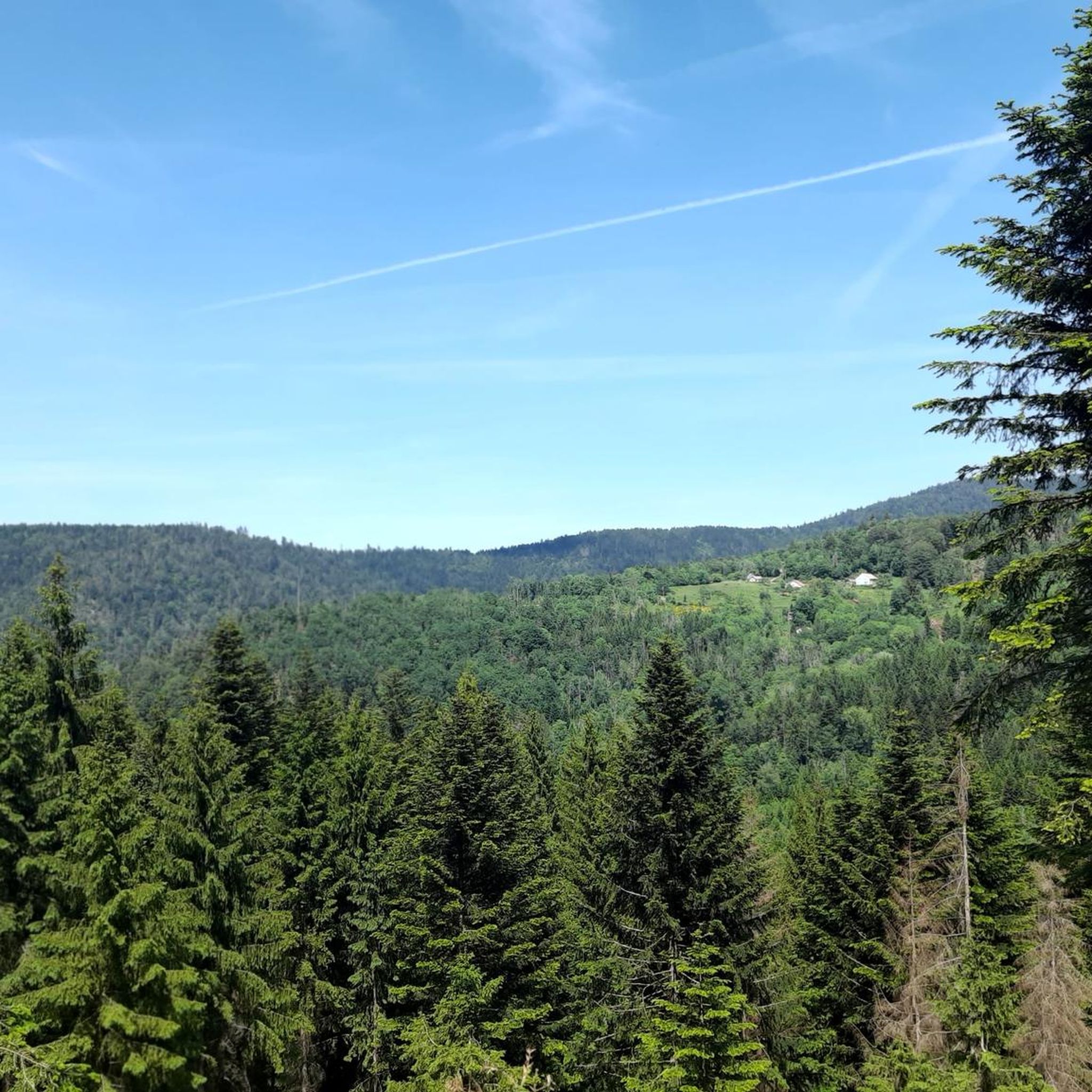
Best attractions and places to see around Fresse include natural monuments and challenging climbs in the Vosges mountains. Located in the Haute-Saône department of Bourgogne-Franche-Comté, eastern France, Fresse is situated at the southern edge of the Vosges, characterized by pine forests and numerous ponds. The region's varied altitudes, ranging from 340 to 896 meters, make it suitable for outdoor activities such as hiking and cycling.
Best attractions and places to see around Fresse
- The most popular attractions is Ballon d'Alsace…
Last updated: May 25, 2026
Ballon d'Alsace
Highlight • Natural Monument
Translated by Google •
Tip by

La Planche des Belles Filles
Highlight • Summit
Translated by Google •
Tip by

Sign up now to discover places like this
Get recommendations on the best single tracks, peaks, & plenty of other exciting outdoor places.
Sign up for free
Ballon de Servance
Highlight • Summit
The highest point in the Haute-Saône department, the Ballon de Servance is partly …
Translated by Google •
Tip by
Chevrères Pass
Highlight • Mountain Pass
Translated by Google •
Tip by

Ascent to the Servance balloon from Plancher-Bas
Highlight (Segment) • Climb
Translated by Google •
Tip by
Sign up for free to discover even more attractions around Fresse.
Sign up for free
Already have an account?
Start today with a free account
Your next adventure awaits.
Login or Signup
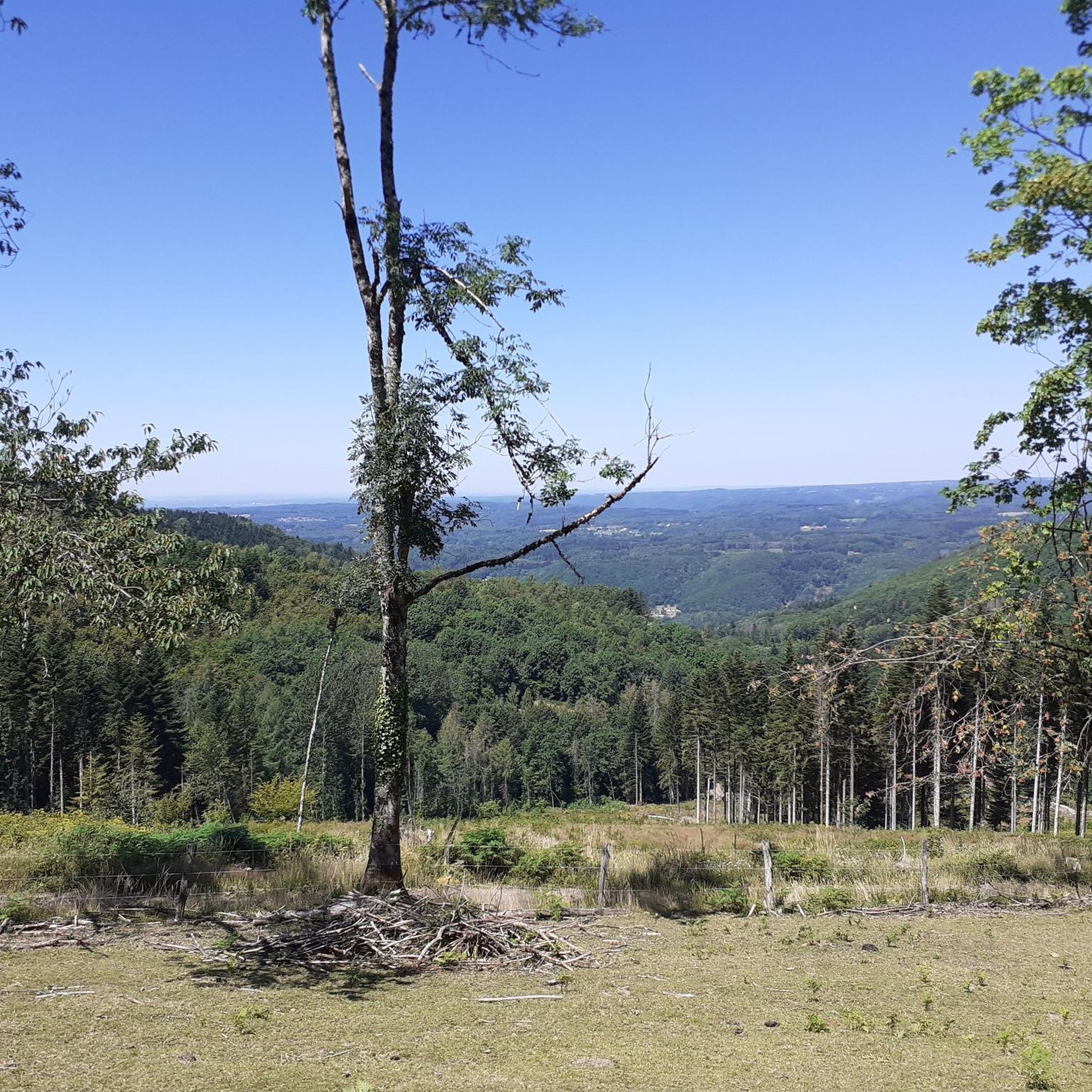
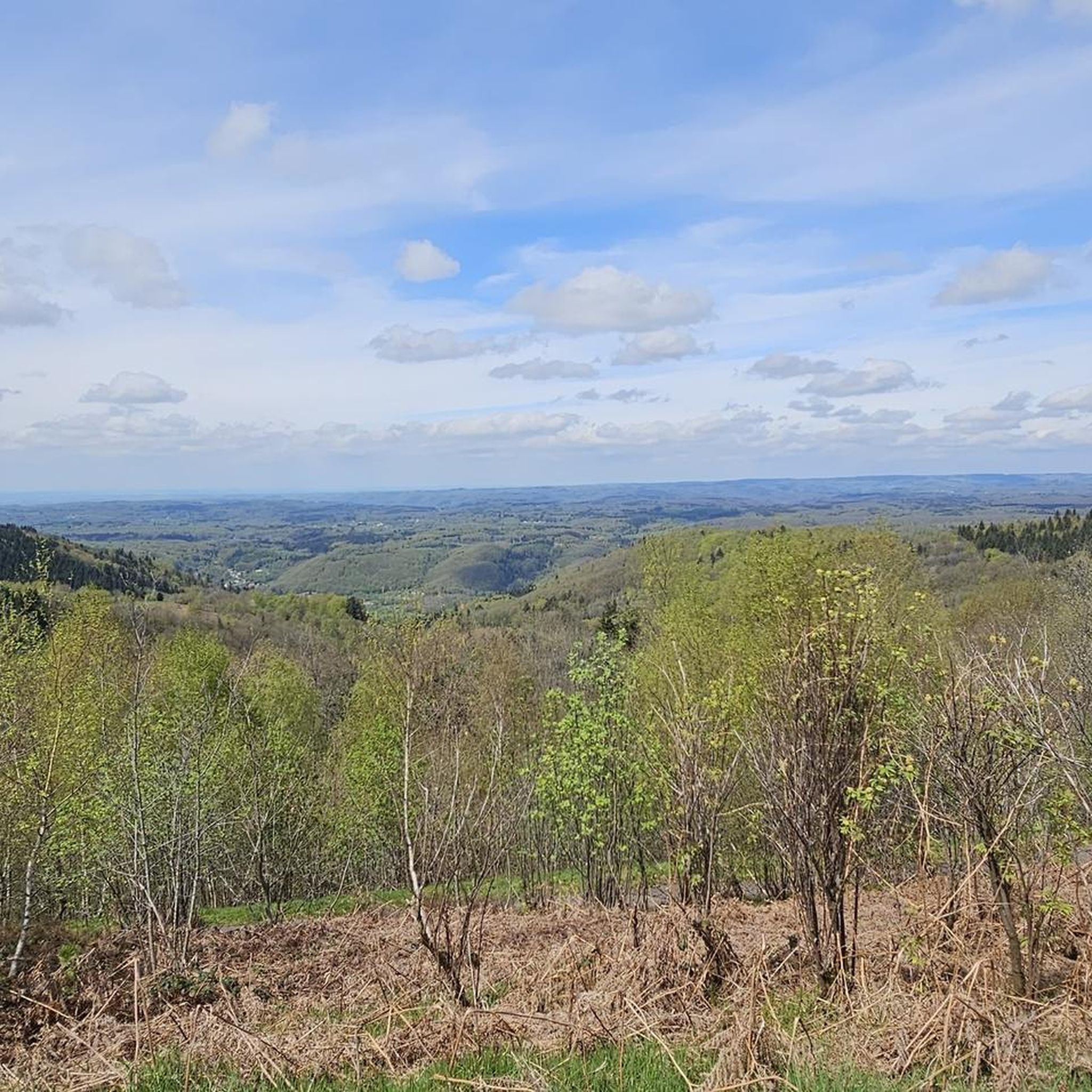
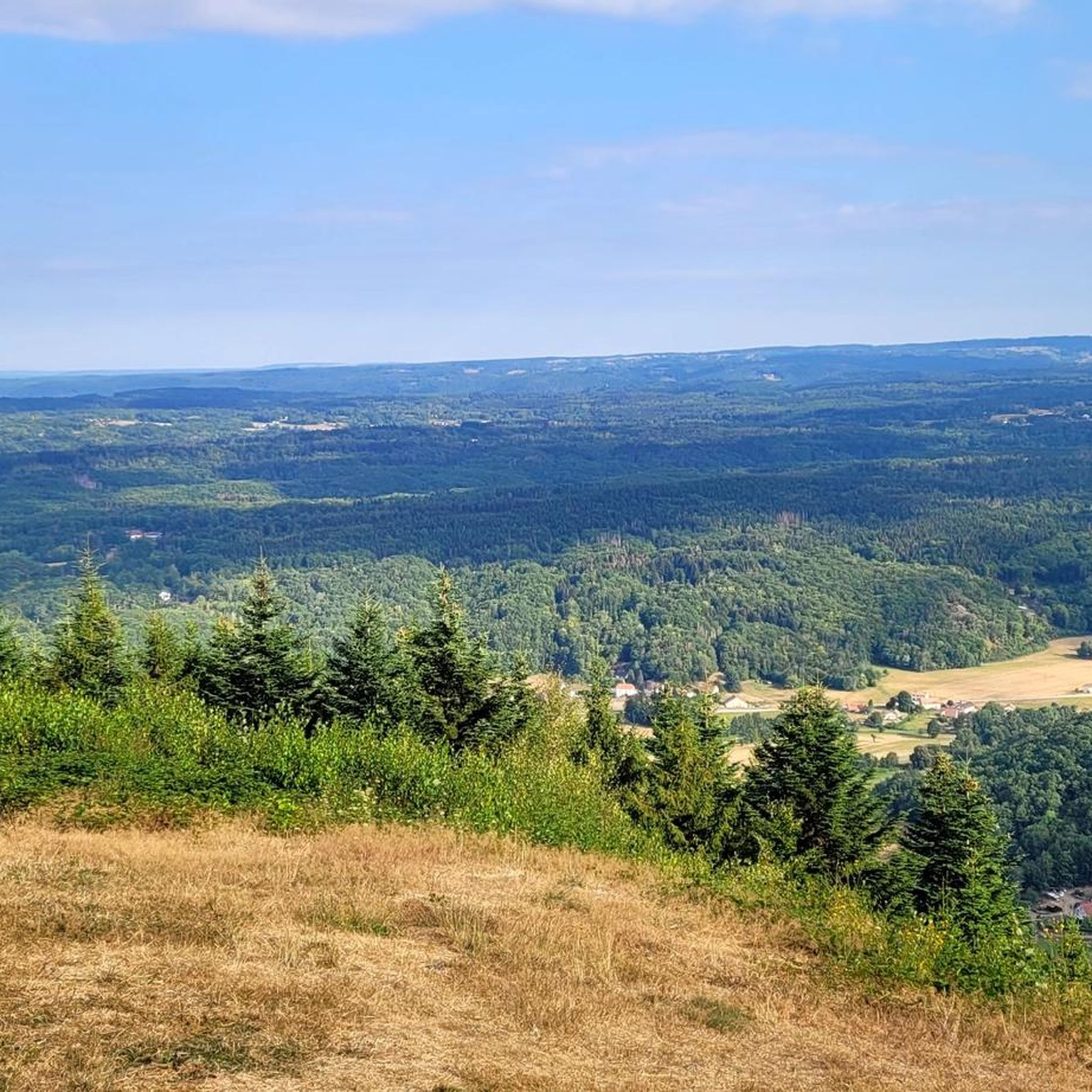

Tips from the Community

beautiful ascent, mostly through the forest – ideal for summer
1
0

From Plancher-Bas or Plancher-les-Mines, the only difficulty is the Belfahy hill: around 500 m at 10-15%.
0
0

At the top of the summit!
1
0

Ascent made on the North side. Regular gradient of 7%, perfect and shaded road.
3
0

Road with little traffic and tired pavement (summer 2022). It's beautiful and calm.
1
0

Actually, the Ballon d'Alsace itself is not skied on, but only the Col du Ballon d'Alsace, which is a little below, but who cares about such small things when there is a great view over the Rhine plain to the Black Forest and even the Jura offers and in the restaurant delicious specialties entice you to have a coffee?
3
0

A much less frequented place than the Planche des Belles Filles, the climb is just as long, even if less steep. The beautiful girls loop offers a very beautiful outing with remarkable landscapes and roads
0
0
In just a few years, this ascent has become, in less than one, an essential summit finish of the Tour de France. And we understand why. The slope is very steep and the landscape on arrival remarkable. The inscriptions on the road and even the encouragement of people encountered along the ascent also contribute to the myth
2
0
Frequently Asked Questions
What natural features characterize the Fresse region?
The Fresse region, situated at the southern edge of the Vosges mountains, is characterized by extensive pine forests and numerous ponds. It is also part of the Regional Natural Park Ballons des Vosges, offering a diverse natural landscape.
Are there challenging climbs for cyclists in the Fresse area?
Yes, the area is renowned for its challenging climbs. La Planche des Belles Filles is particularly famous for its steep slopes, exceeding 25% in parts, and has been a finish line for the Tour de France multiple times. The Chevrères Pass also offers a brutal ascent with gradients up to 19%.
What historical significance does the Ballon d'Alsace hold?
The Ballon d'Alsace is a historic mountain pass in the Vosges mountains, notable as the first pass conquered in the Tour de France on July 11, 1905. Despite not being the highest pass, it holds a special place in cycling history.
Where can I find panoramic views in the Fresse region?
Several summits and passes offer excellent viewpoints. The summit of Ballon d'Alsace and La Planche des Belles Filles provide great vistas. Additionally, the Ballon de Servance, the highest point in the Haute-Saône department, is accessible to the public and offers expansive views.
What kind of hiking trails are available near Fresse?
The Fresse area offers a variety of hiking trails, ranging from moderate to difficult. You can find routes like the 'Viewpoint to the North – Power Line Clearing View loop from Fresse' or the 'Denkmal 1. Weltkrieg Fresse loop'. For more options, explore the Hiking around Fresse guide.
What is the highest accessible point in the Haute-Saône department?
The Ballon de Servance, rising to an altitude of 1,158 meters, is the highest point in the Haute-Saône department and its summit is accessible to the public, despite parts of the area being used by the military.
When is the best time to visit Fresse for outdoor activities?
The region's varied altitudes and dense vegetation make it ideal for outdoor activities like hiking and cycling, especially during warmer months. The ascent to Ballon de Servance from Plancher-Bas, for example, offers shade in summer. However, access roads to some summits may close in winter due to snow.
Are there any local cultural or historical landmarks in Fresse itself?
Within the commune of Fresse, you can find the local church, specifically known as the Church of Saint-Antide. While details about its specific architectural or historical significance are not widely available, it serves as a local landmark within the village.
What are the terrain and elevation like for cycling and hiking around Fresse?
The terrain around Fresse is diverse, with altitudes ranging from 340 to 896 meters within the commune itself, and higher in the surrounding Vosges mountains. This varied landscape includes challenging climbs and scenic routes through dense forests, making it suitable for both strenuous and moderate activities.
What makes the ascent to Ballon de Servance from Plancher-Bas unique?
The Ascent to the Servance balloon from Plancher-Bas is an 18-kilometer climb with significant elevation gain concentrated in the final kilometers, featuring slopes of 5 to 12%. The road is less used by cars, and the dense vegetation provides ample shade, making it a pleasant climb, especially in summer.
Are there specific cycling routes recommended for the Fresse area?
Yes, the region is popular for cycling. You can find routes such as the 'Chevestraye Pass – La Planche des Belles Filles loop from Fresse' or the 'Ballon de Servance loop from Plancher-les-Mines'. For a comprehensive list, refer to the Cycling around Fresse guide.
What do visitors enjoy most about the attractions around Fresse?
Visitors particularly appreciate the historical significance of sites like Ballon d'Alsace for cycling, the challenging nature of climbs like La Planche des Belles Filles, and the quiet, natural beauty found on routes to places like Ballon de Servance. The scenic views and low traffic on many roads are also frequently highlighted.
Most popular attractions around Fresse

Get inspired with the komoot mobile app


Explore more
Still not found the Highlight you’re looking for? See guides of the top attractions in other regions:
