The best road cycling routes around Sombacour
4.4
(181)
4,830
riders
198
rides
Road cycling routes around Sombacour are situated in the Doubs department of Bourgogne-Franche-Comté, eastern France, within a rural setting that offers diverse terrain. The region features altitudes ranging from approximately 715 to 907 meters, providing varied elevation changes for cyclists. Landscapes include forested areas, river valleys like the Doubs, and natural features such as karst springs and the Gorges de Noailles. This environment supports a network of road cycling routes suitable for different skill levels.
Best road cycling routes around…
Last updated: May 10, 2026
22
riders
32.9km
01:33
440m
440m
Moderate road ride. Good fitness required. Mostly well-paved surfaces and easy to ride.
19
riders
42.8km
02:03
420m
420m
Moderate road ride. Good fitness required. Some segments of this route may be unpaved and difficult to ride.

Sign up for free
16
riders
43.3km
01:58
320m
320m
Moderate road ride. Good fitness required. Some segments of this route may be unpaved and difficult to ride.
5.0
(1)
16
riders
19.9km
01:49
280m
280m
Easy road ride. Great for any fitness level. Mostly well-paved surfaces and easy to ride.
10
riders
33.6km
01:30
360m
360m
Moderate road ride. Good fitness required. Mostly well-paved surfaces and easy to ride.
Get access to more routes and recommendations from other explorers.
Sign up for free
Already have an account?
Our route recommendations are based on thousands of hikes, rides, and runs completed by other people on komoot.
Start today with a free account
Your next adventure awaits.
Login or Signup

Tips from the Community

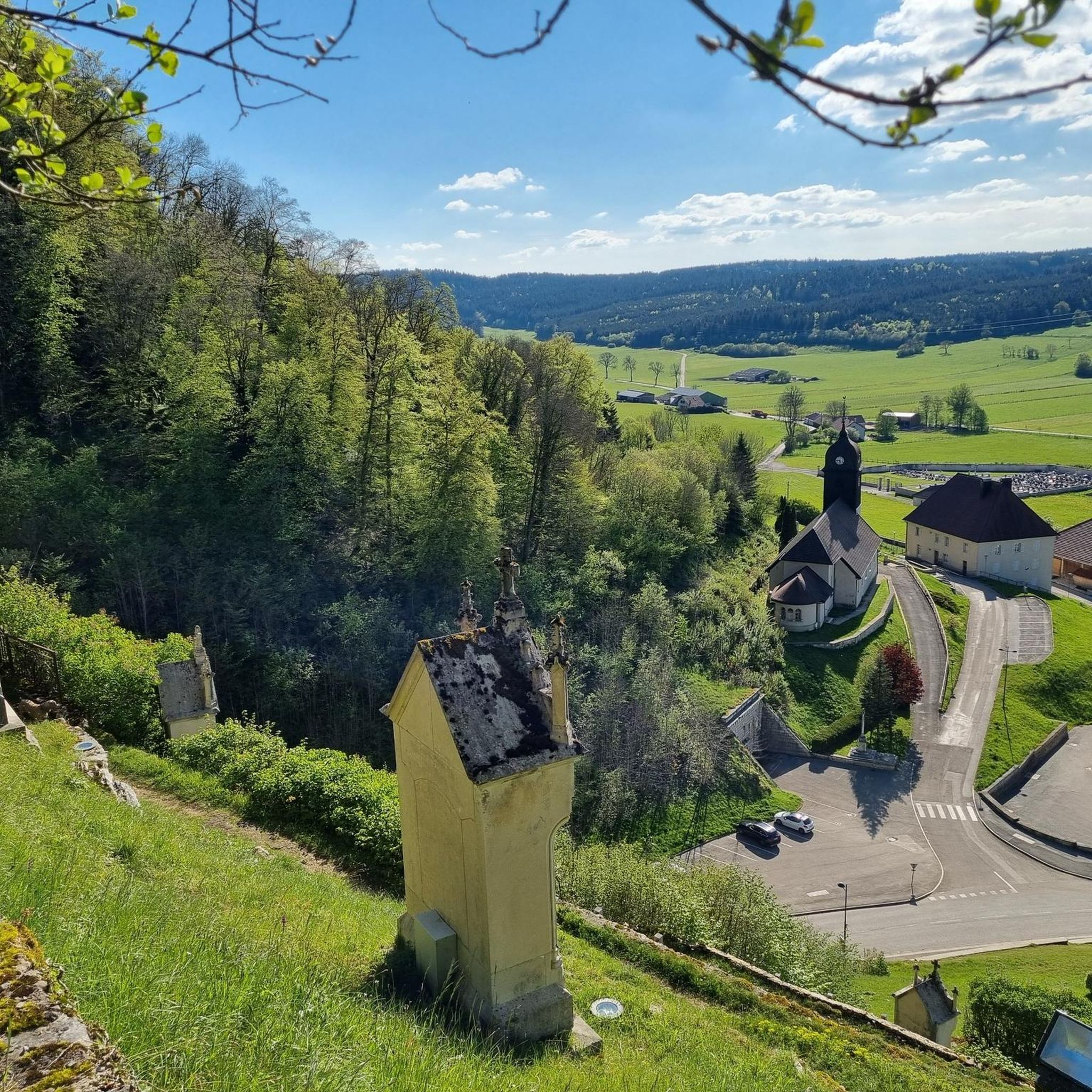
The Mont-Calvaire is a hill of Sombacour which entered the historical heritage thanks to its way of the cross punctuated by 14 stations. These stations are small buildings topped with a cross and commemorating the passion of Christ. In addition to the religious aspect of the place, the hill is also conducive to good vertical kilometer training for trail enthusiasts. Also, the view from the top is superb.
0
0

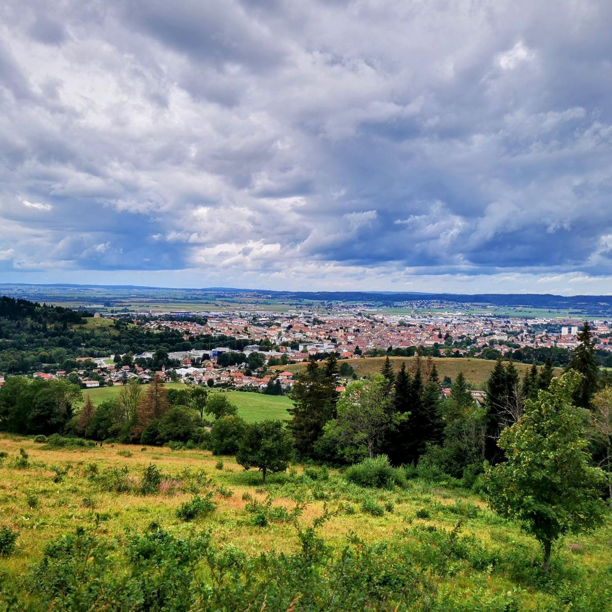
The lake of the Funnel or Bouverans is bordered in this part by a small secondary road and little frequented which leads you very close to the peat bogs. The setting for cycling is ideal, if you are looking for a moment of rejuvenation, in the heart of a nature reserve.
0
0
This small pond is a real haven of peace, next to an equally peaceful town. It is an ideal place to stop, refuel and contemplate the reflections of clouds or trees in the water. Ornithology enthusiasts, get your cameras!
0
0
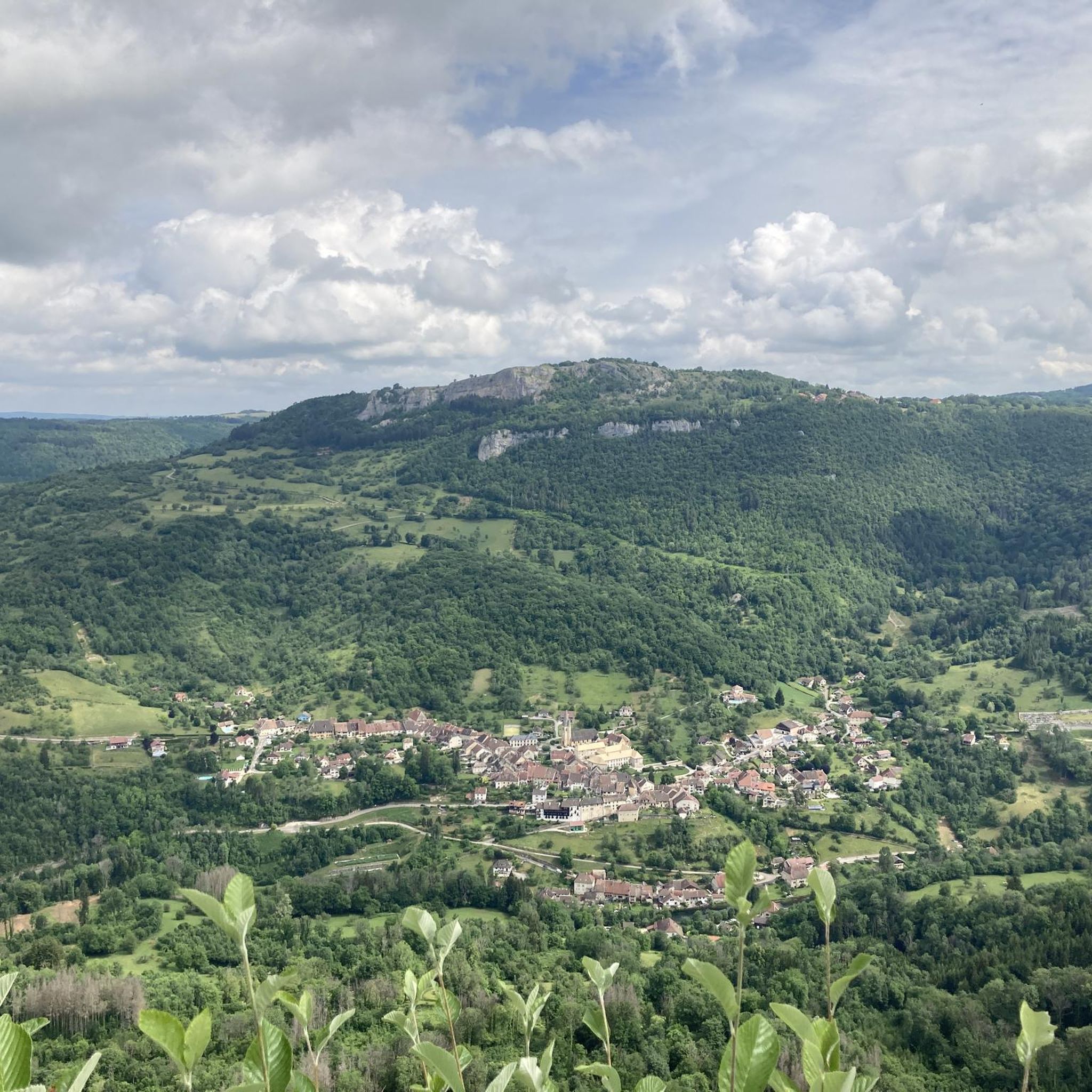
Here there is an information panel that provides information on the ecosystem of the marsh. There are also superb views of the vegetation, ideal for nature lovers. It is a landscape that constantly changes with the seasons and invites you to return.
0
0


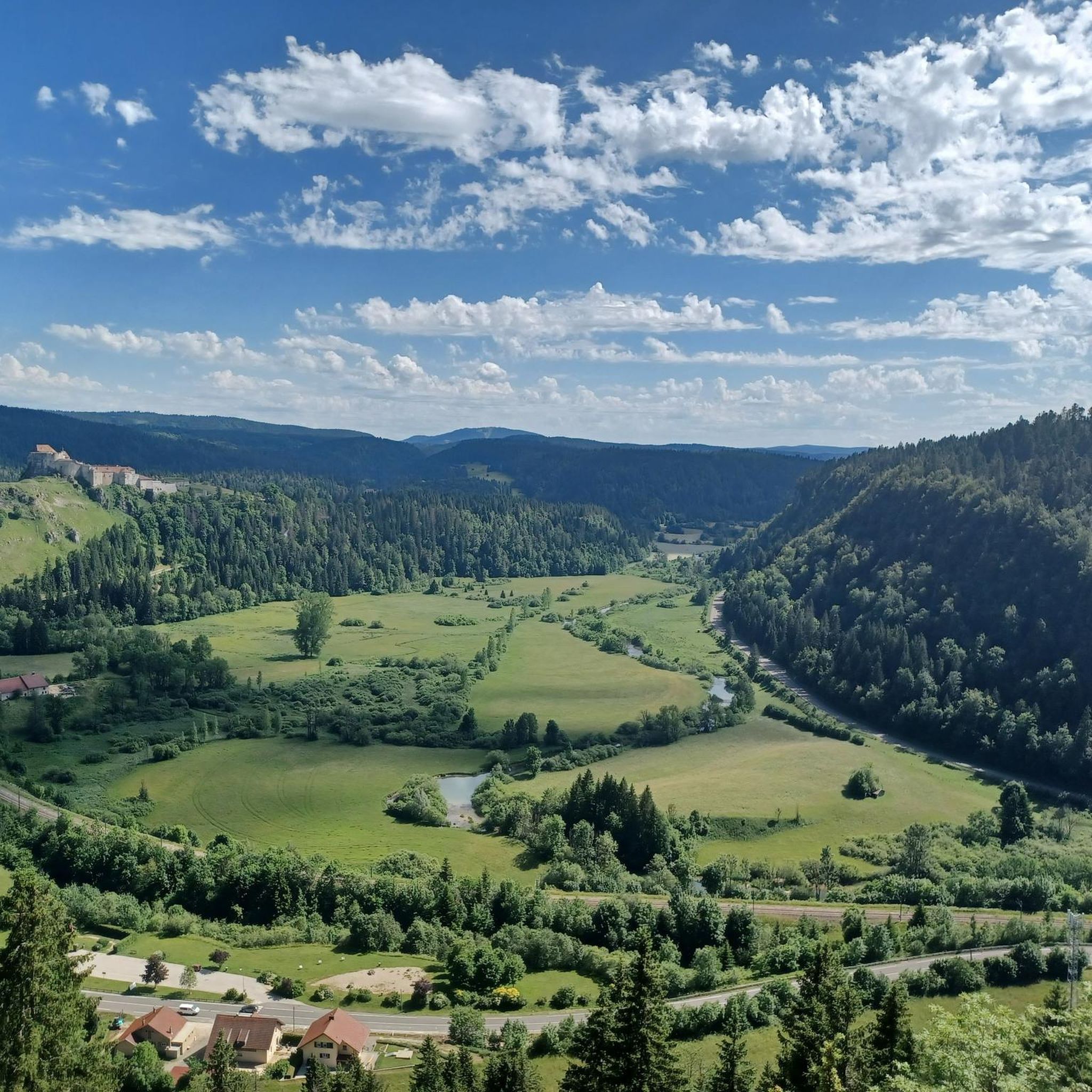
Beautiful, slightly elevated tarred road with a view between the trees and the lake.
5
0
Picturesque lake directly at the village with countless water lilies.
0
0
Along the moorland on a little-used tarred road.
0
0
Frequently Asked Questions
How many road cycling routes are available around Sombacour?
There are over 200 road cycling routes around Sombacour listed on komoot. This includes a wide range of options, with 22 easy routes, 115 moderate routes, and 73 difficult routes, catering to various skill levels.
What kind of terrain can I expect on road cycling routes near Sombacour?
The region around Sombacour offers diverse terrain for road cyclists. You can expect varied elevations, with altitudes ranging from approximately 715 to 907 meters, providing both challenging climbs and more gentle sections. Routes often feature forested areas, majestic river loops along the Doubs, and well-paved surfaces, including greenways and low-traffic roads. The landscape includes wooded slopes, rocky ridges, and charming villages.
Are there any easy road cycling routes suitable for beginners or families?
Yes, Sombacour offers 22 easy road cycling routes. An example of a more accessible route is the Le Mont-calvaire loop from Val-d'Usiers, which is 12.3 miles (19.9 km) long and leads through local countryside.
What natural features or landmarks can I see while cycling around Sombacour?
Road cycling routes around Sombacour offer access to several notable natural features and landmarks. You can explore impressive karst springs like the Source de la Loue and the Source du Pontet. The Gorges de Noailles also provide scenic backdrops. Within Sombacour itself, the Mont-Calvaire offers both cultural significance and panoramic views.
What do other road cyclists enjoy most about cycling in Sombacour?
The road cycling experience in Sombacour is highly rated by the komoot community, with an average score of 4.4 stars from over 170 reviews. Cyclists often praise the varied terrain, which includes both challenging ascents and scenic descents, as well as the tranquil forested sections and the picturesque views of the Doubs River Valley.
Are there any challenging road cycling routes for experienced riders?
Yes, for experienced riders seeking a challenge, there are 73 difficult road cycling routes around Sombacour. The region's varied elevations, with climbs towards areas like the Mont-Calvaire, provide ample opportunity for more strenuous rides. The broader network near Pontarlier also offers challenging loops with significant elevation changes.
Are there any circular road cycling routes available?
Many of the road cycling routes around Sombacour are designed as loops, allowing you to start and finish in the same location. Examples include the Le Mont-calvaire loop from Dommartin and the Étang de la Rivière-Drugeon – Lande du Doubs loop from Chapelle-d'Huin.
What is the best time of year for road cycling in Sombacour?
The region's climate suggests that spring, summer, and early autumn are generally the best times for road cycling in Sombacour. During these seasons, the weather is typically more favorable, with pleasant temperatures and lush landscapes, making for an enjoyable cycling experience. Always check local weather forecasts before heading out.
Where can I find parking for road cycling routes in Sombacour?
Many road cycling routes around Sombacour start from villages or towns that offer public parking facilities. For instance, routes like the Le Mont-calvaire loop from Dommartin or the Étang de la Rivière-Drugeon – Lande du Doubs loop from Chapelle-d'Huin typically have starting points in or near these communities where parking can be found.
Can I access Sombacour by public transport for cycling trips?
While Sombacour is a rural area, its proximity to larger towns like Pontarlier (9 kilometers away) may offer some public transport connections. For detailed information on bus or train services that might accommodate bicycles, it is advisable to consult local transport authorities or regional tourism resources, such as those for the Doubs Valley, which can be found on sites like France Vélo Tourisme.
Are there any routes that pass by lakes or rivers?
Yes, several routes traverse areas near water bodies. For example, the Étang de la Rivière-Drugeon – Lande du Doubs loop from Chapelle-d'Huin includes sections near the Étang de la Rivière-Drugeon. Additionally, the wider Doubs River Valley is a prominent feature of the region, with many routes offering picturesque journeys along its banks.
Most popular attractions around Sombacour

Get inspired with the komoot mobile app


Explore more
Browse the best Road cycling routes in other regions.
