The best walks and hikes around Bedburg
4.5
(11820)
41,053
hikers
206
hikes
Hiking around Bedburg offers diverse landscapes within the northern Naturpark Rheinland. The region is characterized by the Erft river, which flows through the area, and Kasterer See (Lake Kaster), a significant natural attraction formed from a former opencast mine. Recultivation areas and the Brachter Wald forest also provide varied walking opportunities. These features contribute to a landscape suitable for different hiking experiences.
Best hiking trails around Bedburg
- The most popular hiking route is Alt-Kaster City Gate – Agatha Gate, Alt-Kaster…
Last updated: July 15, 2026
4.6
(424)
1,357
hikers
13.7km
03:32
70m
70m
Moderate hike. Good fitness required. Easily-accessible paths. Suitable for all skill levels.
4.7
(78)
286
hikers
11.6km
03:00
60m
60m
Moderate hike. Good fitness required. Easily-accessible paths. Suitable for all skill levels.

Sign up for free
4.2
(49)
237
hikers
6.96km
01:46
20m
20m
Easy hike. Great for any fitness level. Easily-accessible paths. Suitable for all skill levels.
4.5
(35)
119
hikers
6.91km
01:49
60m
60m
Easy hike. Great for any fitness level. Easily-accessible paths. Suitable for all skill levels.
4.7
(90)
306
hikers
14.6km
03:48
60m
60m
Moderate hike. Good fitness required. Easily-accessible paths. Suitable for all skill levels.
Get access to more routes and recommendations from other explorers.
Sign up for free
Already have an account?
Our route recommendations are based on thousands of hikes, rides, and runs completed by other people on komoot.
Start today with a free account
Your next adventure awaits.
Login or Signup
Popular around Bedburg
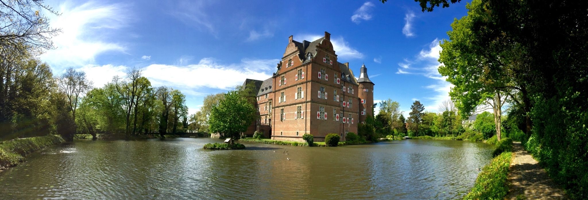
Wasserburgen-Route — A ride through Germany's Castle Country from the Rhine to the Eifel and back
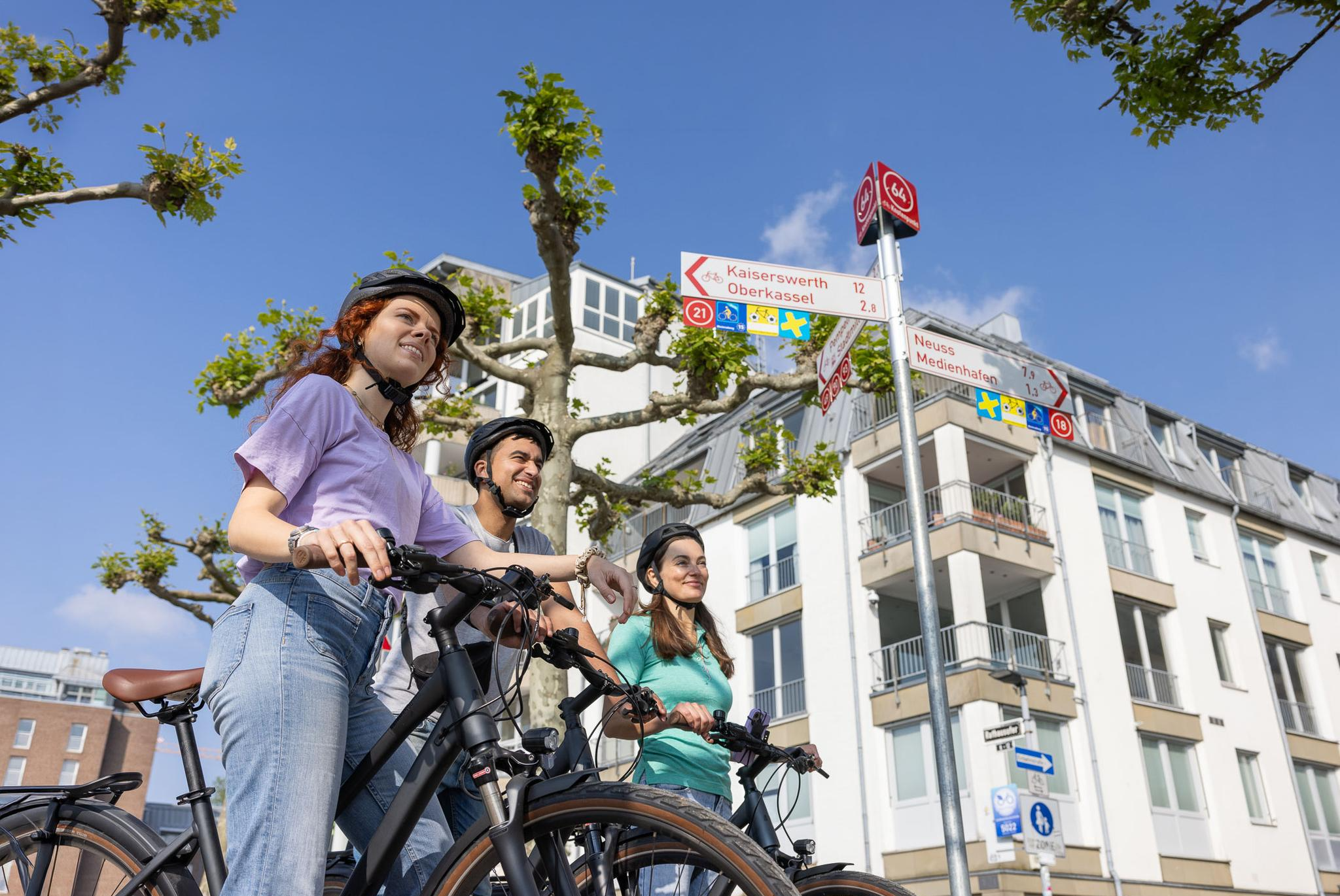
Cycling by Numbers – flexible rides in the Radregion Rheinland
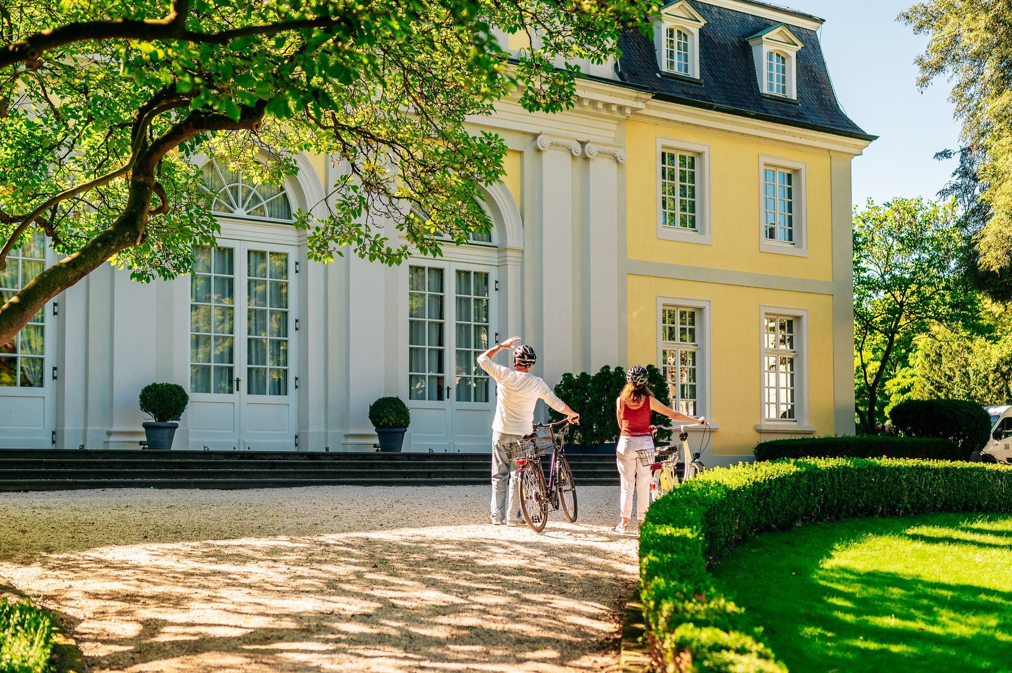
History in the Rhineland – cycling in the Rhineland cycling region
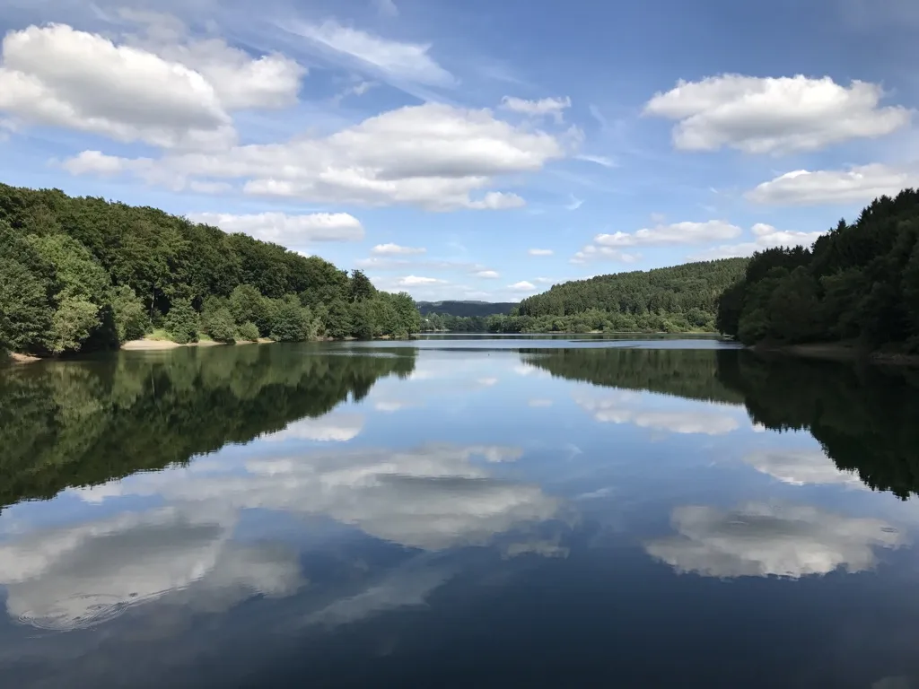
Auszeiten im Grünen – Entspannte Wanderungen im Rheinland
Mit Rosbacher auf Tour im Rheinland
Cycling around Bedburg
Running Trails around Bedburg
Road Cycling Routes around Bedburg
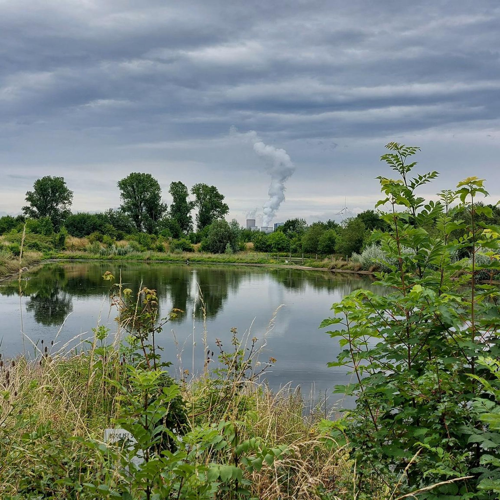
MTB Trails around Bedburg
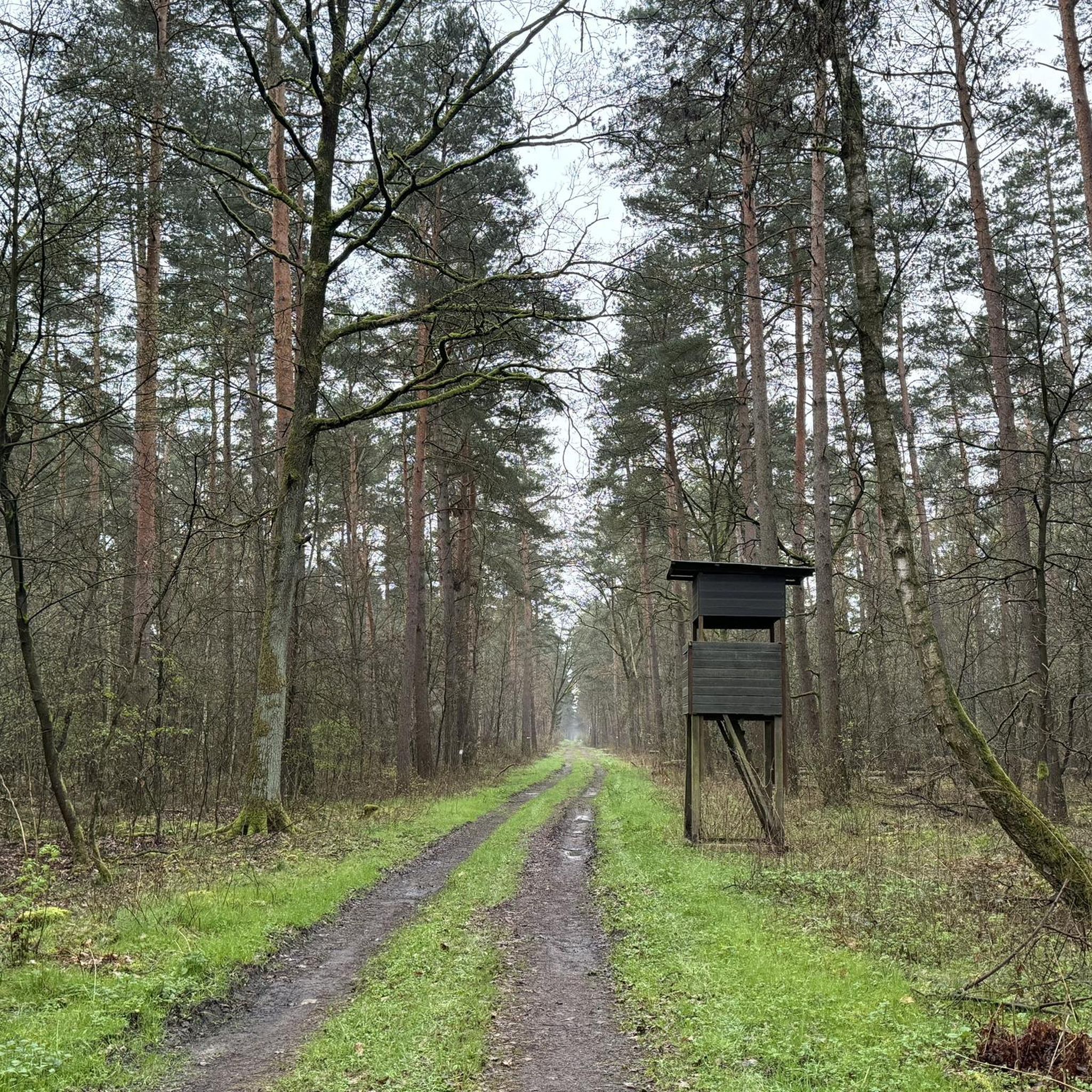
Gravel biking around Bedburg
Other adventures around Bedburg


Tips from the Community

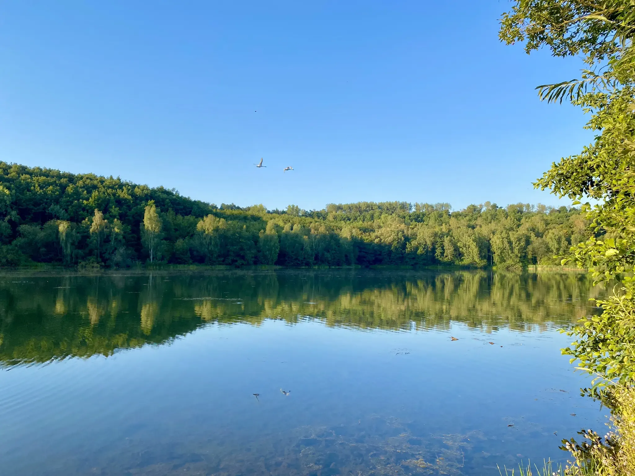
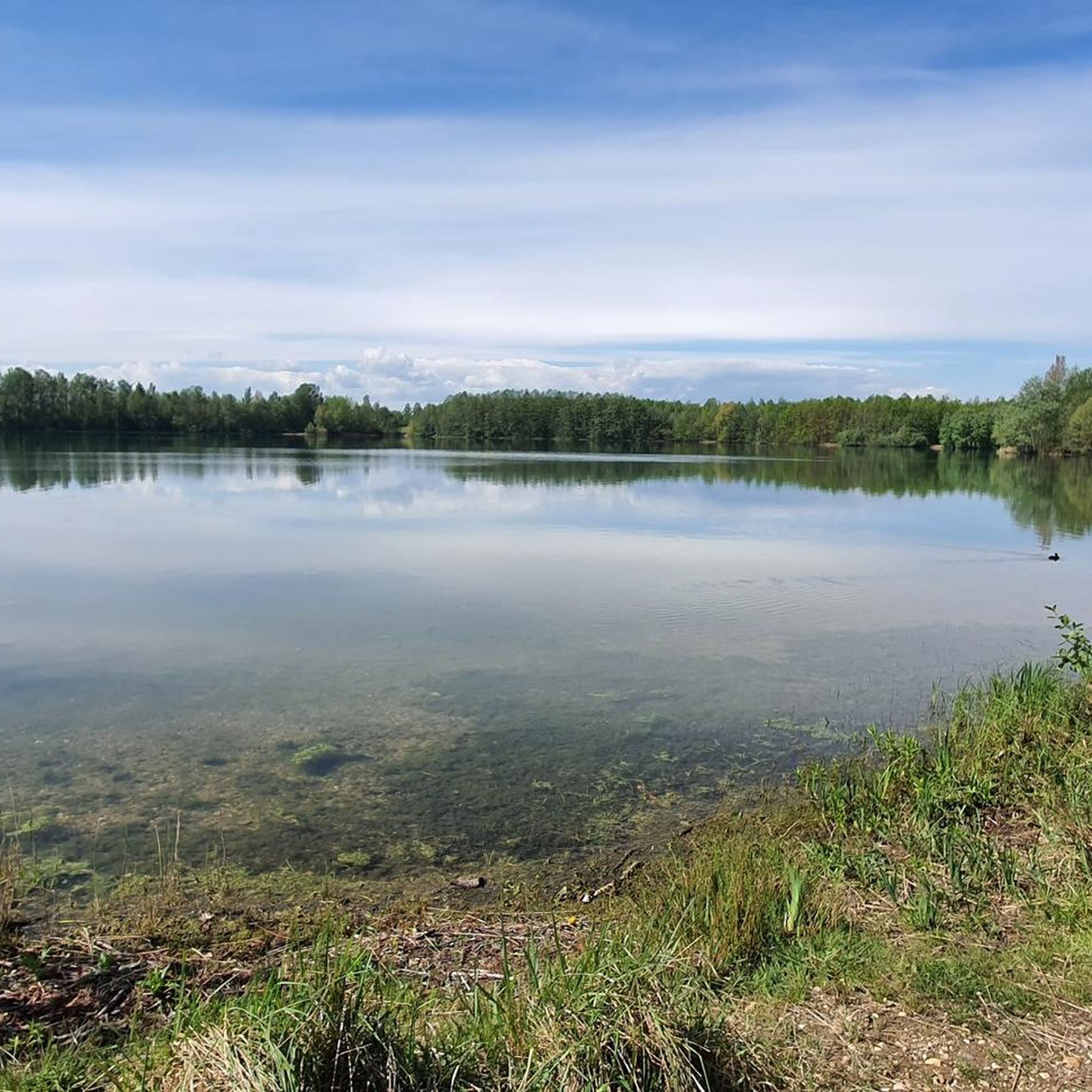
A walk around Lake Kaster is always appropriate!
0
0

Very nice views of the lake and some benches to sit and enjoy.
0
0

The werewolf hiking trail is worthwhile for young and old. The 10-kilometer trail between Alt-Kaster and Bedburg tells the story of the werewolf "Stubbe," who is said to have wreaked havoc here in the 16th century. And if you solve the riddle correctly at the end of the trail, a "treasure" awaits you...
2
0

... certainly one of the most beautiful views today from the edge of Lake Kaster. It is easy to walk around it in a short hike and has many access points directly to the water ...
1
0

"The Kasterer See was created in 1984 as part of the recultivation of the former Frimmersdorf opencast mine. The lake is 1 km long, 125 m wide and 5.2 m deep. It is fed by the Mühlenerft, an oxbow river of the Erft, and not by groundwater. The lake was created at the bottom of the Kasterer Höhe in the so-called new Erftaue. It is surrounded by a forest of around eight hectares, which was created as part of the recultivation. It consists mainly of elm trees. The lake and the surrounding forest have been part of the “Erft between Bedburg and Bergheim” nature reserve since 2009. The southwest bank of the lake serves as a local recreation area. The east bank is largely inaccessible and left to nature. There you will find extensive wetland habitats and numerous nesting places for waterfowl. The lake also serves as fishing water." (Peter Burggraaff, on behalf of the LVR Office for Monument Preservation in the Rhineland, 2022) https://www.kuladig.de/Objectansicht/KLD-344360
0
0

As part of the redesign of the market square, the fountain with the title “History, Children and Water” was built by Juan Fernandez from Aldenhoven, Burg Engelsdorf. The figures are made of bronze, the basin is made of artificial stone.
5
0
As part of brown coal mining, the one kilometer long, 125 meter wide and 5.20 meter deep Kasterer Lake was created in the area of the former Frimmersdorf opencast mine and completed in 1984. It is fed and washed by the Mühlenerft and is embedded in the Kasterer Höhe, a landscaped forest area of around eight hectares. Numerous elm trees, which are considered an endangered tree species, have been planted in the forest island in which the body of water is located. The lake and the forest areas surrounding it were created through extensive recultivation measures.
6
0
The Kasterer Mühlenerft is an old branch of the regulated Erft. The Kasterer Mühle is a former water mill in the Kaster district. The first references to a mill in Kaster come from the year 1250, namely the name Conrad, a miller from Kaster. The mill is probably one of the oldest buildings in Kaster, apart from the castle. In 1961 the mill was shut down. In 1966, the last owner, Adam Offergeld, sold the facility to Rheinbraun, who had the listed building demolished. The mill house was preserved and was converted into a residential complex in 1980 as part of a renovation and restoration.
6
0
Frequently Asked Questions
How many hiking trails are available around Bedburg?
Bedburg offers a wide variety of hiking opportunities, with over 200 routes recorded on komoot. These trails cater to different preferences, including easy walks around Kasterer See and more challenging paths through historical towns and forests.
Are there easy hiking trails suitable for beginners or casual walkers in Bedburg?
Yes, Bedburg has many easy trails. Out of over 200 routes, 147 are classified as easy. A great option is the Kasterer Lake – Kasterer Lake loop from Bedburg, which is 7.0 km long and takes about 1 hour 46 minutes, offering pleasant views of the lake.
What kind of landscapes can I expect to see while hiking in Bedburg?
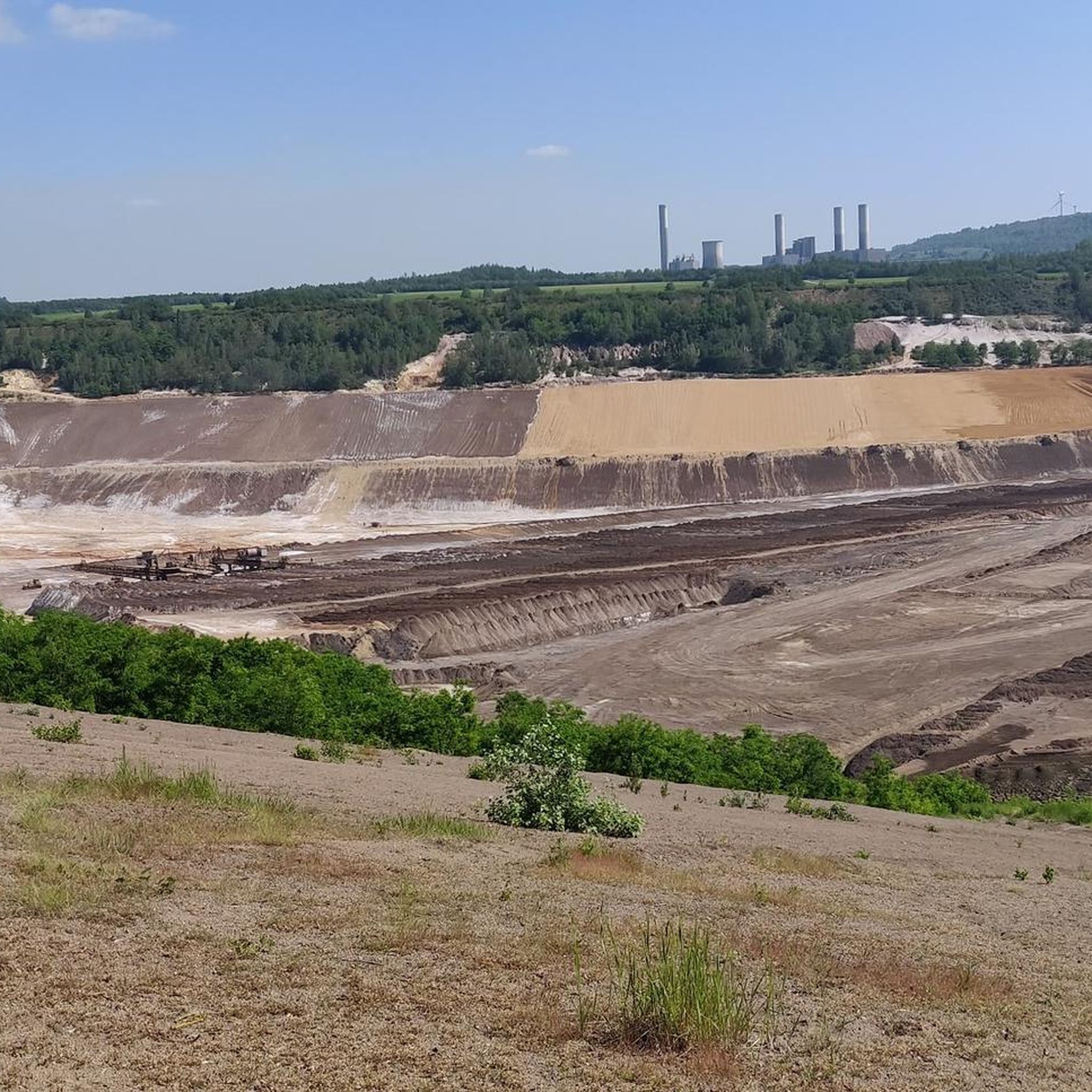
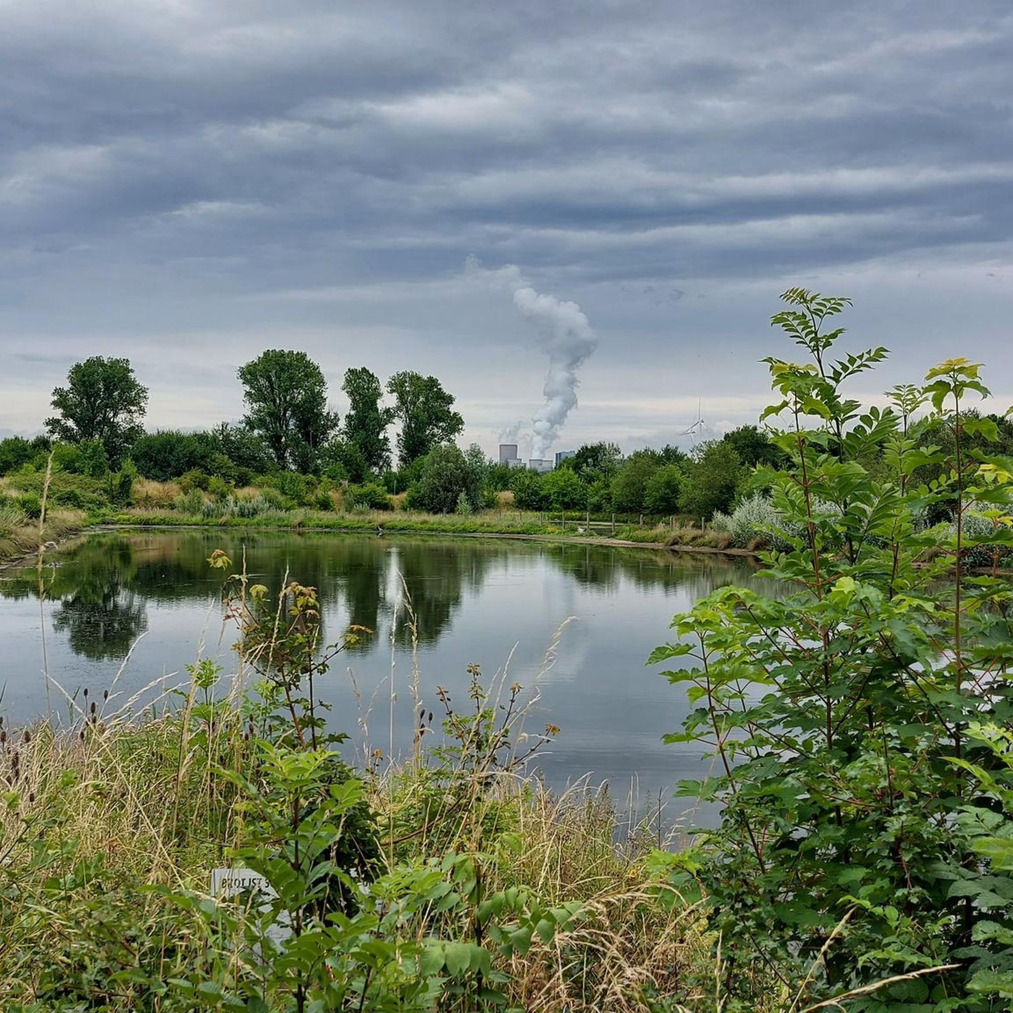
The region around Bedburg is characterized by diverse landscapes. You'll encounter the scenic Erft river, the expansive Kasterer See (Lake Kaster), and unique recultivation areas. The Brachter Wald forest offers dense woodlands, while the Forum :terra nova provides views of the Hambach opencast mine, showcasing a blend of natural and transformed scenery.
Are there any family-friendly hiking options or trails with interactive elements?
Absolutely. The Werwolf Hiking Trail is a fantastic family-friendly option, connecting Alt-Kaster and Bedburg. This 10-kilometer trail weaves a historical narrative about the 'werwolf Stubbe' and includes a riddle to solve for a 'treasure' at the end, making it engaging for all ages. It also passes by the Bedburg water castle and through Alt-Kaster.
What are some notable landmarks or attractions I can see along the hiking trails in Bedburg?
Hikers in Bedburg can explore several interesting landmarks. The medieval atmosphere of Alt-Kaster with its historic gable houses is a highlight, often incorporated into routes like the Alt-Kaster City Gate – Agatha Gate, Alt-Kaster loop from Epprath. You can also visit the picturesque Bedburg Water Castle and enjoy views of Kasterer Lake. The Glessener Höhe — Summit Cross and Viewpoint and the Höller Horn Observation Tower offer panoramic views.
Are there any circular hiking routes around Bedburg?
Yes, many routes in Bedburg are circular, allowing you to start and end at the same point. Popular circular options include the Kasterer Lake – Kasterer Lake loop from Bedburg and the Kasterer Lake – Erft Gate (Alt-Kaster City Gate) loop from Bedburg (Erft), which takes you around Lake Kaster and past historical elements.
What do other hikers enjoy most about the trails in Bedburg?
The hiking trails in Bedburg are highly rated by the komoot community, with an average score of 4.4 stars from over 1,300 reviews. Hikers often praise the diverse landscapes, the well-maintained paths, and the blend of natural beauty with historical attractions like Alt-Kaster and the Bedburg Water Castle.
Can I find trails that offer views of lakes or rivers?
Yes, the region is rich in water features. The Erft river flows through the area, and Kasterer See (Lake Kaster) is a central natural attraction. Many trails, such as the Kasterer Lake – View of Lake Kasterer loop from Bedburg, offer beautiful views of the lake and its surroundings. You can also explore highlights like Peringsmaar.
Are there any specific trails that highlight the history of Bedburg?
The Alt-Kaster City Gate – Agatha Gate, Alt-Kaster loop from Epprath is an excellent choice for history enthusiasts. It connects Alt-Kaster, a completely preserved old town with medieval charm, and Bedburg, allowing you to experience the historical narrative of the area, including the Bedburg water castle.
What is the best time of year to go hiking in Bedburg?
The region's natural features, particularly the Erft river and surrounding landscapes, are especially vibrant in spring and autumn. These seasons offer pleasant temperatures and beautiful scenery, making them ideal for hiking. However, the trails are generally accessible and enjoyable year-round.
Are there any trails that pass through forests or wooded areas?
Yes, the Brachter Wald forest near Bedburg-Königshoven offers extensive, well-marked trails through dense forests and past picturesque ponds. Additionally, recultivation areas like those around the former Fortuna-Garsdorf open-cast mine provide pleasant walking opportunities through newly forested landscapes.
Are there any trails that offer a unique perspective on the region's industrial past and transformation?
For a unique perspective, consider visiting the Forum :terra nova. While not a hiking trail itself, it provides breathtaking views of the Hambach opencast mine, showcasing the blend of natural and man-made landscape transformation in the region. Some trails in the recultivation areas also offer glimpses into this evolving landscape.
Most popular routes around Bedburg
Most popular attractions around Bedburg

Get inspired with the komoot mobile app


Explore more
Browse the best Hikes in other regions.
