The best walks and hikes around Ercé-Près-Liffré
4.5
(485)
2,625
hikers
169
hikes
Hiking around Ercé-Près-Liffré offers routes through a gently undulating landscape, characterized by woodlands and open countryside. The area features various points of interest, including natural springs and historical sites. Elevation gains on trails are generally modest, making the region accessible for a range of hiking abilities. The terrain primarily consists of well-defined paths suitable for exploring the local environment.
Best hiking trails around Ercé-Près-Liffré
- The most popular hiking route is Chasné-les-Marches loop from Chasné-sur-Illet, a 7.1 miles (11.4 km)…
Last updated: July 22, 2026
4.0
(3)
22
hikers
11.4km
02:58
70m
70m
Moderate hike. Good fitness required. Easily-accessible paths. Suitable for all skill levels.
4.0
(4)
9
hikers
14.0km
03:39
90m
90m
Moderate hike. Good fitness required. Easily-accessible paths. Suitable for all skill levels.

Sign up for free
5.0
(2)
9
hikers
12.8km
03:22
110m
110m
Moderate hike. Good fitness required. Easily-accessible paths. Suitable for all skill levels.
4.3
(3)
3
hikers
8.25km
02:13
100m
100m
Moderate hike. Good fitness required. Easily-accessible paths. Suitable for all skill levels.
4
hikers
5.93km
01:39
110m
110m
Easy hike. Great for any fitness level. Easily-accessible paths. Suitable for all skill levels.
Get access to more routes and recommendations from other explorers.
Sign up for free
Already have an account?
Our route recommendations are based on thousands of hikes, rides, and runs completed by other people on komoot.
Start today with a free account
Your next adventure awaits.
Login or Signup
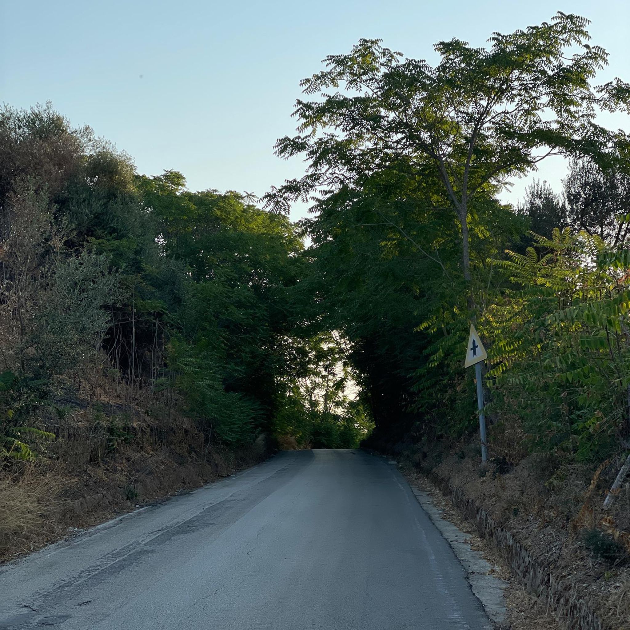
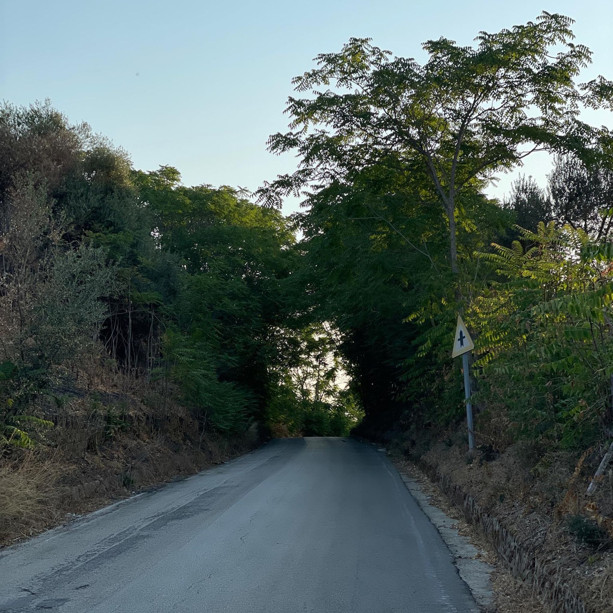
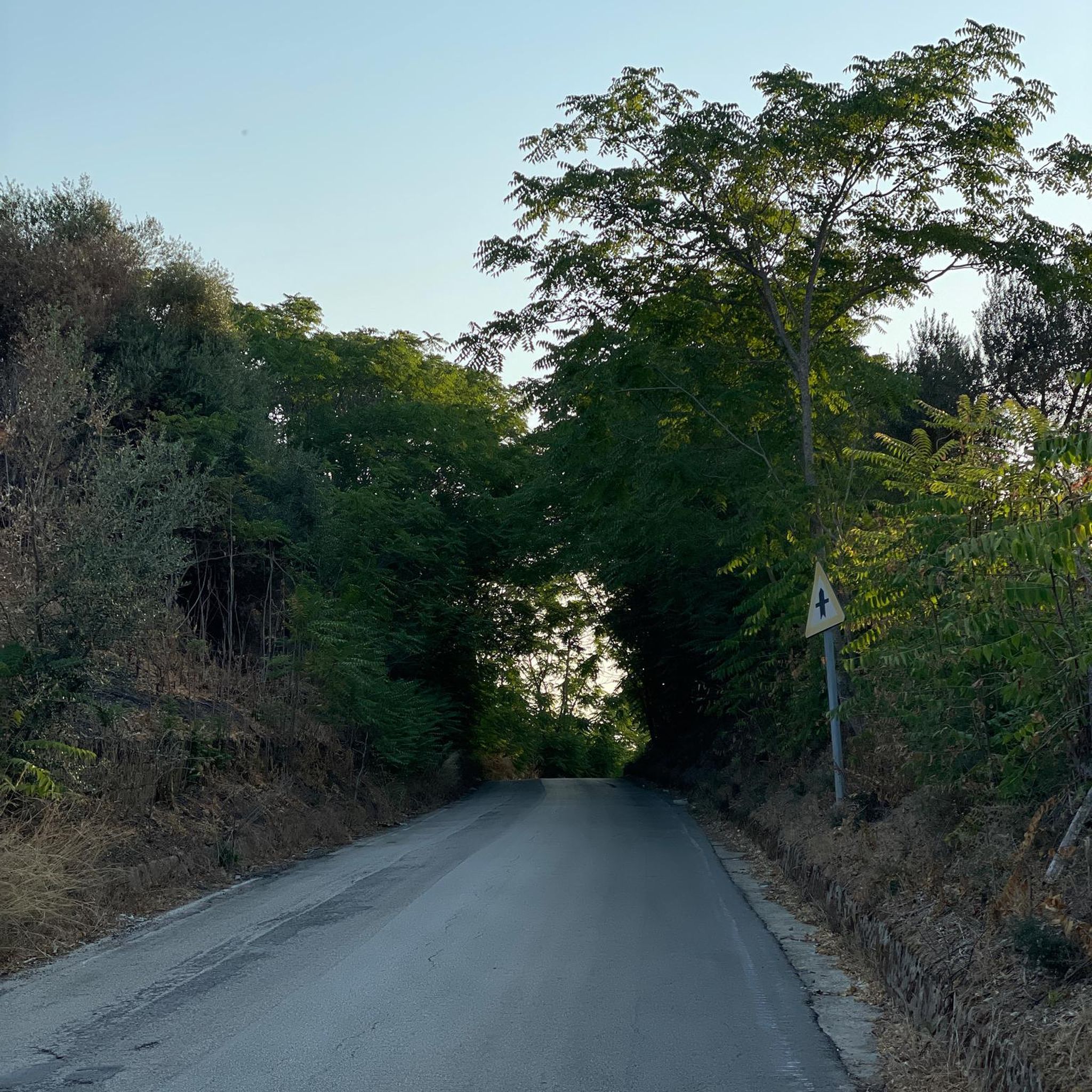
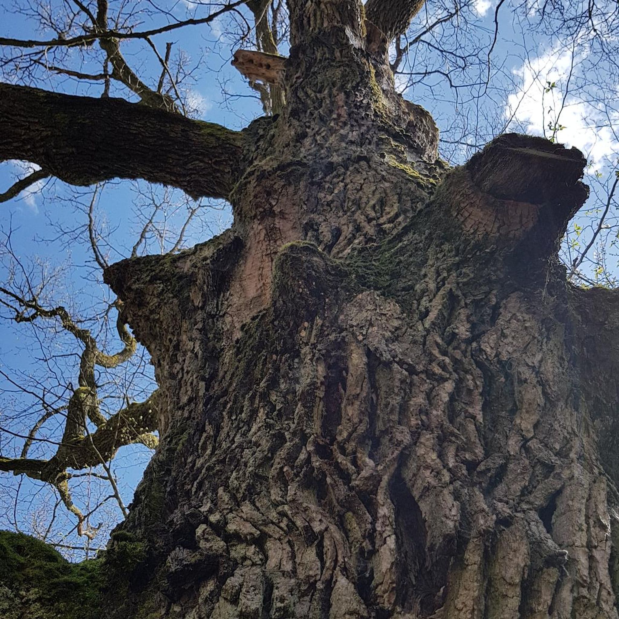
Tips from the Community

17/01/26: very muddy path + fallen tree blocking the GR trail
0
0


Frequently Asked Questions
How many hiking trails are available around Ercé-Près-Liffré?
There are over 150 hiking trails in the Ercé-Près-Liffré area, offering a wide variety of options for different skill levels and preferences. The region is known for its gently undulating landscape, woodlands, and open countryside.
Are there easy hiking trails suitable for beginners or families in Ercé-Près-Liffré?
Yes, Ercé-Près-Liffré offers many easy trails, with 74 routes specifically categorized as easy. These paths are generally well-defined and feature modest elevation gains, making them ideal for families or those seeking a relaxed walk. An example is the Enceinte des Verrières loop from Carrefour des Noë, which is an easy 4.7 km (2.9 miles) route.
What kind of terrain can I expect on hikes around Ercé-Près-Liffré?
The terrain around Ercé-Près-Liffré primarily consists of well-defined paths through gently undulating landscapes. You'll encounter a mix of woodlands and open countryside, with modest elevation changes, making most routes accessible and enjoyable.
Are there any circular walks in the Ercé-Près-Liffré area?
Yes, many of the hiking routes around Ercé-Près-Liffré are circular, allowing you to start and end at the same point. For instance, the Alignement du Bas Rocher loop from Ercé-près-Liffré is a moderate 8.2 km (5.1 miles) circular trail.
What are some interesting landmarks or attractions to see while hiking?
While hiking around Ercé-Près-Liffré, you can explore various points of interest. These include natural features like the Ferruginous Spring and historical sites such as bunkers. Nearby attractions also include the Chevaigné Lock, the serene Chevré Mill and Pond, and the historic Medieval hamlet of Chevré.
Are the hiking trails in Ercé-Près-Liffré dog-friendly?
Many trails in the Ercé-Près-Liffré region are suitable for walking with dogs, especially those through woodlands and open fields. It's always recommended to keep your dog on a leash, especially near livestock or in protected natural areas, and to check specific route details for any restrictions.
What is the best time of year to go hiking in Ercé-Près-Liffré?
The Ercé-Près-Liffré area is enjoyable for hiking throughout much of the year. Spring and autumn offer pleasant temperatures and beautiful scenery with changing foliage. Summer is also suitable, though it can be warmer, while winter hikes are possible on the generally modest terrain, provided conditions are safe.
Are there any challenging hikes for experienced hikers?
While the region is characterized by gentle hills, there are a few routes that offer a more challenging experience. There are 5 trails categorized as difficult, providing longer distances and slightly more elevation gain compared to the easy and moderate options. These routes will test your endurance more.
How long do hikes typically take around Ercé-Près-Liffré?
Hike durations vary significantly depending on the route and your pace. For example, the popular Chasné-les-Marches loop from Chasné-sur-Illet, which is 11.4 km (7.1 miles), typically takes around 3 hours. Shorter, easy trails can be completed in under 2 hours, while longer routes might take 4 hours or more.
What do other hikers say about the trails in Ercé-Près-Liffré?
The hiking routes in Ercé-Près-Liffré are highly rated by the komoot community, with an average score of 4.5 stars from over 300 reviews. Hikers often praise the quiet woodlands, well-maintained paths, and the blend of natural beauty with historical points of interest like bunkers and springs.
Is public transport available to access hiking trails in Ercé-Près-Liffré?
Access to specific trailheads by public transport can be limited in rural areas like Ercé-Près-Liffré. While some regional bus services might connect to the main village, reaching more remote starting points often requires a car. It's advisable to check local transport schedules in advance for your chosen route.
Are there options for less crowded hiking experiences?
Given the abundance of trails and the generally peaceful nature of the region, it's possible to find less crowded hiking experiences, especially on weekdays or by exploring some of the less-trafficked routes. The area's charm lies in its tranquil countryside, offering a serene escape.
Most popular routes around Ercé-Près-Liffré
Most popular attractions around Ercé-Près-Liffré

Get inspired with the komoot mobile app


Explore more
Browse the best Hikes in other regions.
