The best walks and hikes around Cazouls-Lès-Béziers
4.6
(553)
2,904
hikers
23
hikes
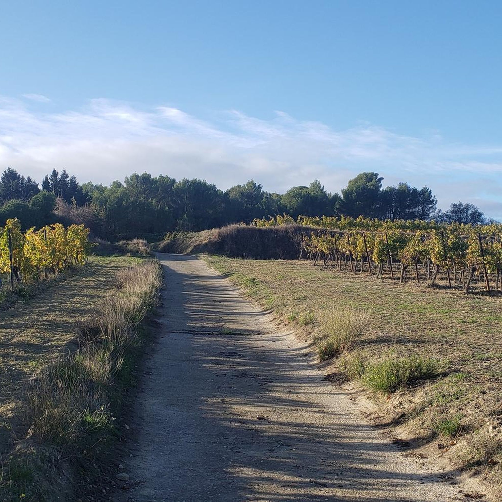
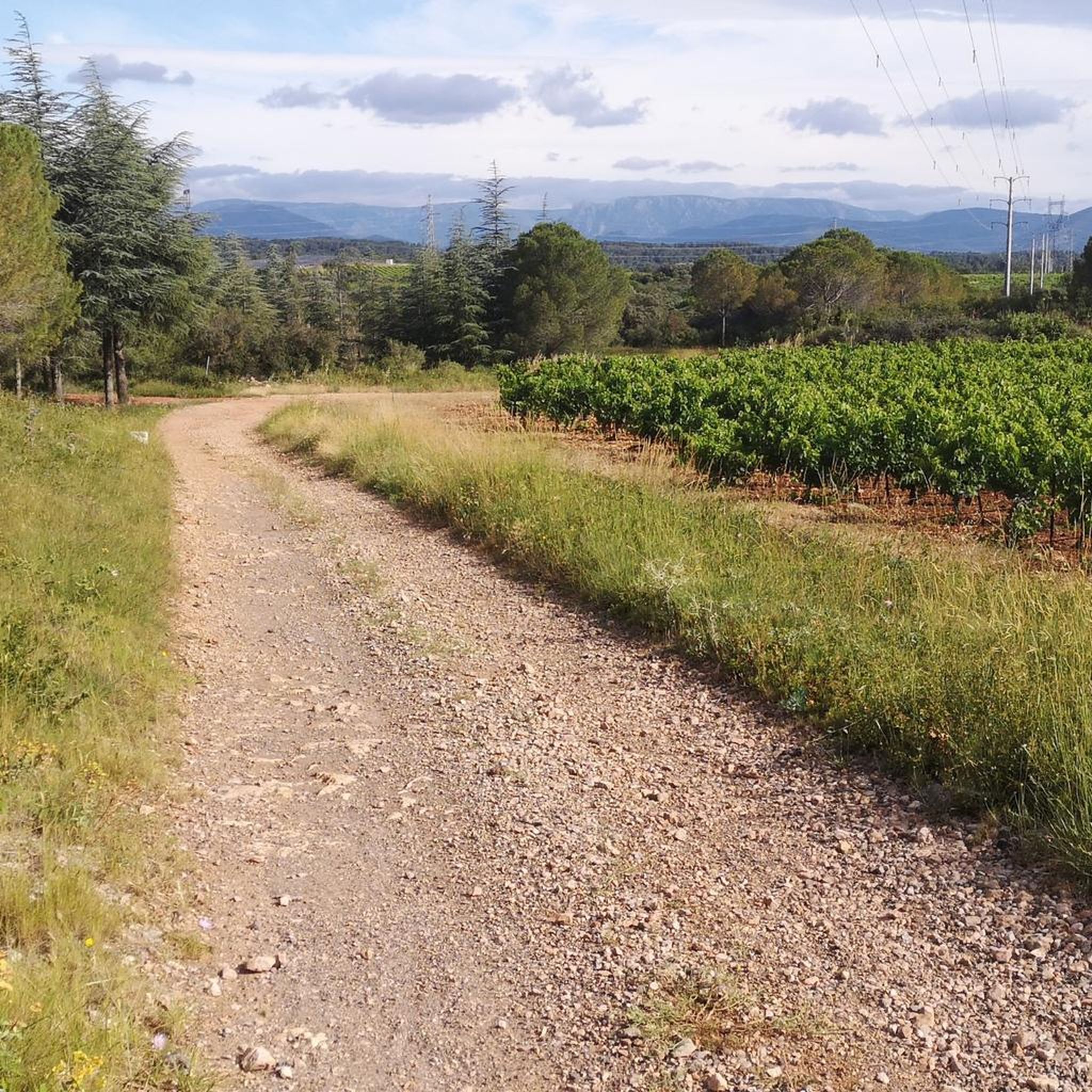
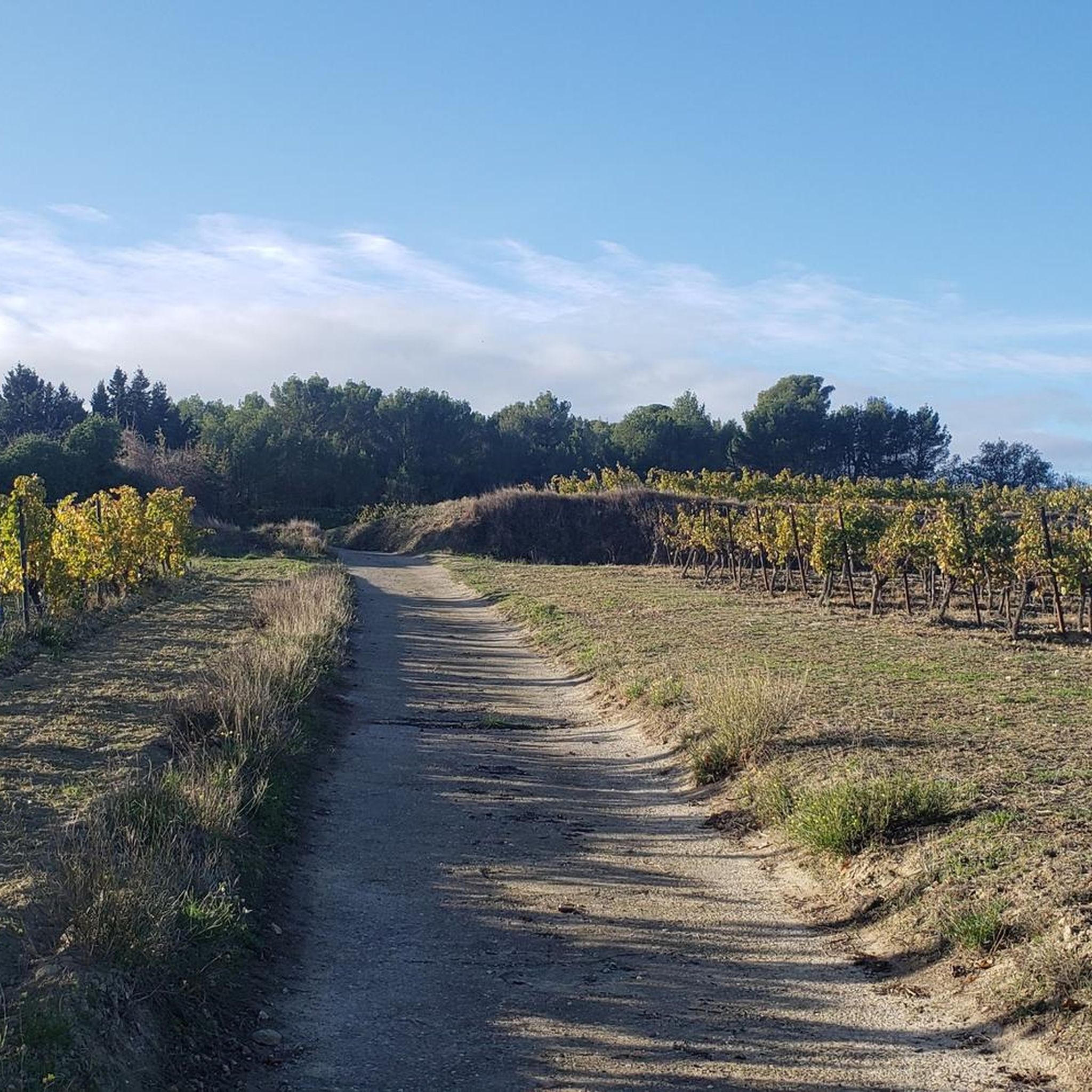
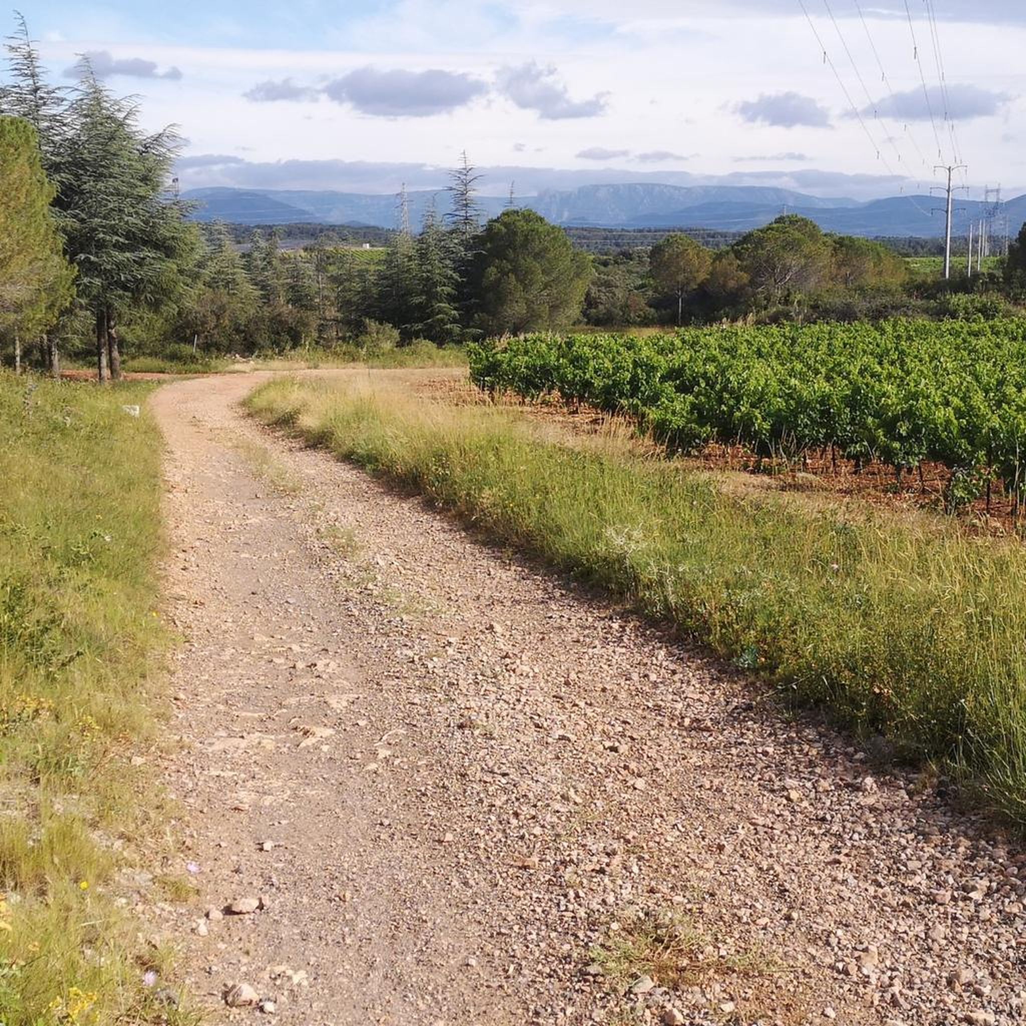
Hiking around Cazouls-Lès-Béziers offers diverse landscapes, characterized by expansive vineyards, fragrant garrigue, and shaded pine forests. The region features the natural landscapes of the Orb Valley, including schist cliffs. From various viewpoints, hikers can observe the distant Massif du Caroux, the Espinouse mountains, and on clear days, the Mediterranean Sea.
Best hiking trails around Cazouls-Lès-Béziers
- The most popular hiking route is Étang de Thézan-lès-Béziers loop from Travers de la Bardoulette, a 2.4 miles (3.8 km) trail that takes about…
Last updated: July 22, 2026
4.6
(9)
14
hikers
3.80km
00:59
20m
20m
Easy hike. Great for any fitness level. Easily-accessible paths. Suitable for all skill levels.
4.4
(7)
21
hikers
Easy hike. Great for any fitness level. Easily-accessible paths. Suitable for all skill levels.

Sign up for free
5.0
(1)
7
hikers
11.1km
02:55
80m
80m
Moderate hike. Good fitness required. Easily-accessible paths. Suitable for all skill levels.
7
hikers
6.11km
01:37
60m
60m
Easy hike. Great for any fitness level. Easily-accessible paths. Suitable for all skill levels.
5
hikers
10.7km
02:53
140m
140m
Moderate hike. Good fitness required. Easily-accessible paths. Suitable for all skill levels.
Get access to more routes and recommendations from other explorers.
Sign up for free
Already have an account?
Our route recommendations are based on thousands of hikes, rides, and runs completed by other people on komoot.
Start today with a free account
Your next adventure awaits.
Login or Signup

Tips from the Community

The Abbey of Sainte-Marie de Fontcaude is a former Premonstratensian abbey dating from the 12th century, located in the commune of Cazedarnes in the French department of Hérault in the Occitanie region, of which it is in fact a hamlet, on the edge of the territory of Cazouls-lès-Béziers. The name means "hot fountain" in Occitan.
0
0

On the orientation table there is the Mediterranean in the lower part and above it all the wine regions of southern France.
1
0

The former Premonstratensian abbey from the 12th century fell into disrepair in the 19th century and was restored to its current condition and made accessible in 1969 by the Association des Amis de Fontcaude in an extensive restoration project. It is classified as a historical monument.
1
0


Small Romanesque abbey nestled in a beautiful green setting in the middle of the vineyard.
3
0
Frequently Asked Questions
How many hiking trails are available in Cazouls-Lès-Béziers?
There are over 20 hiking routes around Cazouls-Lès-Béziers, offering a variety of experiences. The majority, about 15, are considered easy, while 8 are moderate, catering to different fitness levels.
What kind of terrain can I expect on hikes in Cazouls-Lès-Béziers?
Hikers in Cazouls-Lès-Béziers will encounter diverse landscapes, including expansive vineyards, fragrant garrigue, and shaded pine forests. Many trails also feature the natural beauty of the Orb Valley, with unique schist cliffs. You can also find routes around the Étang de Thézan-lès-Béziers.
Are there any family-friendly hiking options in the area?
Yes, Cazouls-Lès-Béziers offers many easy trails suitable for families. For instance, the Étang de Thézan-lès-Béziers loop from Travers de la Bardoulette is a relatively short and easy walk around the lake, perfect for a family outing. There are 15 easy routes in total.
What notable landmarks or natural features can I see while hiking?
Beyond the natural landscapes, you can discover several points of interest. The historic 12th-century Abbaye de Fontcaude is a prominent cultural highlight. From various viewpoints, you can enjoy panoramic vistas of the distant Massif du Caroux, the Espinouse mountains, and even the Mediterranean Sea on clear days. The area also features the distinctive geological formation known as the 'Colorado de Causses et Veyran' or Orgues des Gournies.
Are there any circular walks available in Cazouls-Lès-Béziers?
Yes, many of the hiking routes in Cazouls-Lès-Béziers are circular. Popular options include the Étang de Thézan-lès-Béziers loop from Maraussan, which offers a longer circuit around the lake, and the Abbaye de Fontcaude loop, leading through vineyards to the historic abbey.
What do other hikers enjoy most about hiking in Cazouls-Lès-Béziers?
The area is highly rated by the komoot community, with an average score of 4.6 stars from over 500 reviews. Hikers often praise the diverse landscapes, from vineyards to pine forests, and the scenic views, particularly around the Étang de Thézan-lès-Béziers and the Orb Valley.
Can I bring my dog on the hiking trails?
Most trails in the Cazouls-Lès-Béziers region are generally dog-friendly, especially if your dog is kept on a leash. It's always recommended to check local signage for any specific restrictions, particularly in nature reserves or near agricultural areas.
What is the best time of year to go hiking in Cazouls-Lès-Béziers?
The spring and autumn months are ideal for hiking in Cazouls-Lès-Béziers. Spring offers pleasant temperatures and the fragrant garrigue in bloom, while autumn provides comfortable weather and beautiful vineyard colors. Summers can be hot, so early morning or late afternoon hikes are preferable during that season.
Are there any accessible trails for those with limited mobility or strollers?
While specific accessibility information for all trails isn't detailed, the region benefits from a greenway, which is a converted old railway line. These paths are typically flat and well-maintained, offering an accessible option for walking or cycling.
What are some nearby attractions to visit after a hike?
After your hike, you can explore several nearby attractions. Consider visiting the Orb Canal Bridge, the impressive Fonseranes Locks on the Canal du Midi, or the historic Saint-Nazaire Cathedral in Béziers. The Malpas Tunnel is also an interesting historical site.
Is parking available at the trailheads?
Parking is generally available near the starting points of many popular trails, especially in and around villages like Cazouls-Lès-Béziers, Thézan-lès-Béziers, and Maraussan. It's advisable to check specific route details on komoot for precise parking information for your chosen hike.
What kind of elevation gain can I expect on the trails?
The trails around Cazouls-Lès-Béziers generally feature moderate elevation changes. Many easy routes, like the Étang de Thézan-lès-Béziers loop from La Roque, have minimal elevation gain, often less than 30 meters. Longer, moderate trails might involve climbs of up to 80-100 meters, but there are no difficult routes with significant ascents.
Most popular routes around Cazouls-Lès-Béziers
Most popular attractions around Cazouls-Lès-Béziers

Get inspired with the komoot mobile app


Explore more
Browse the best Hikes in other regions.
