The best walks and hikes around Bechenheim
4.5
(5886)
20,790
hikers
568
hikes
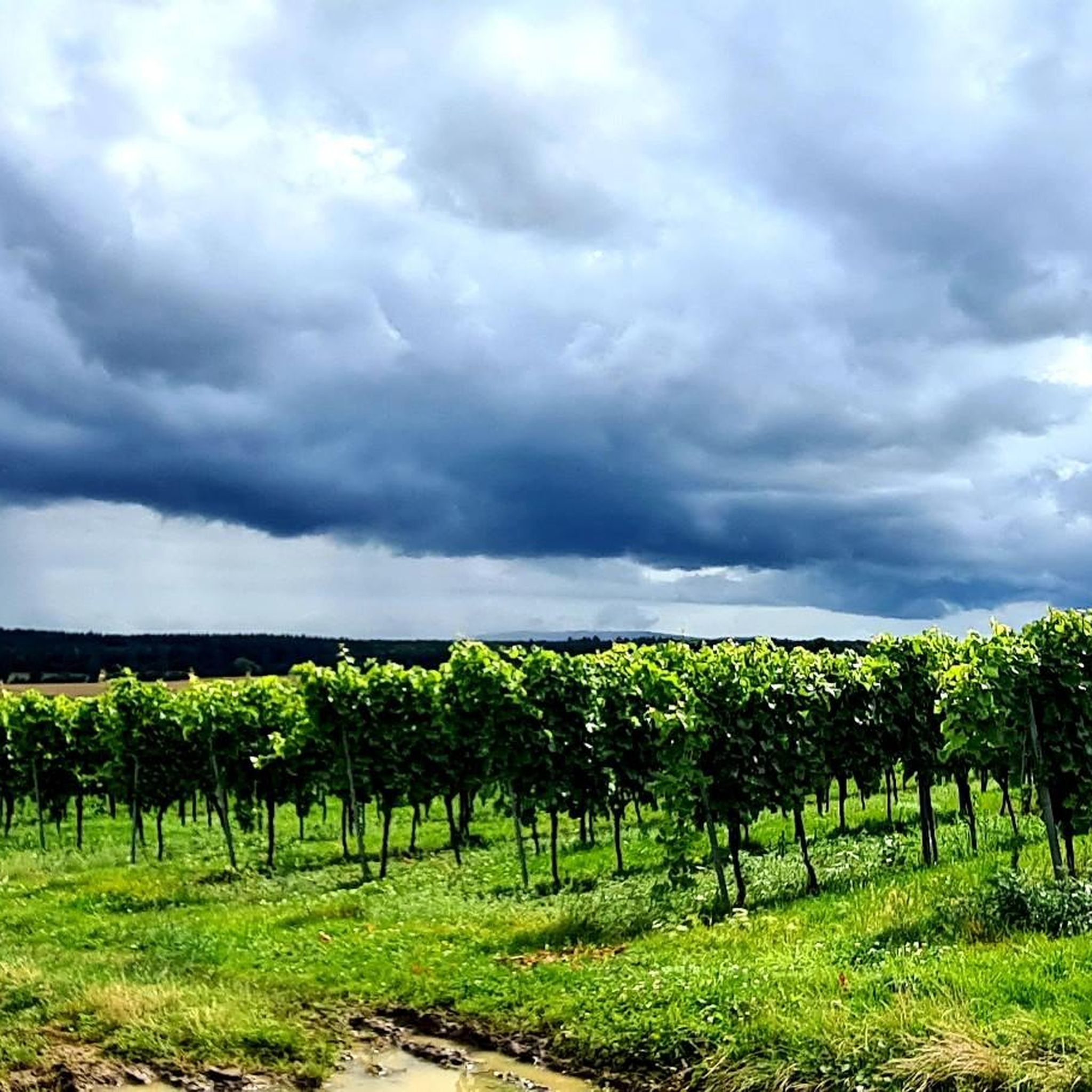
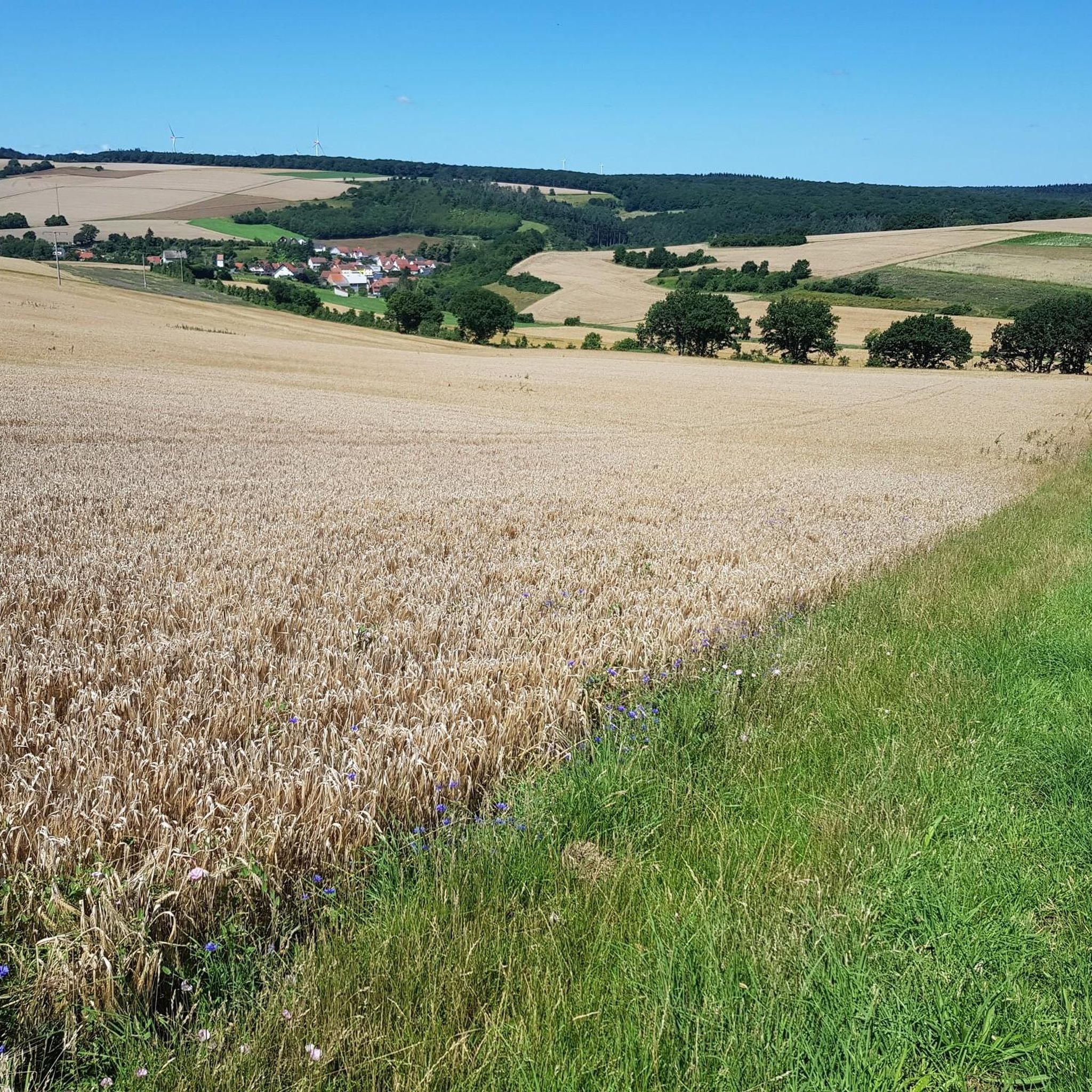
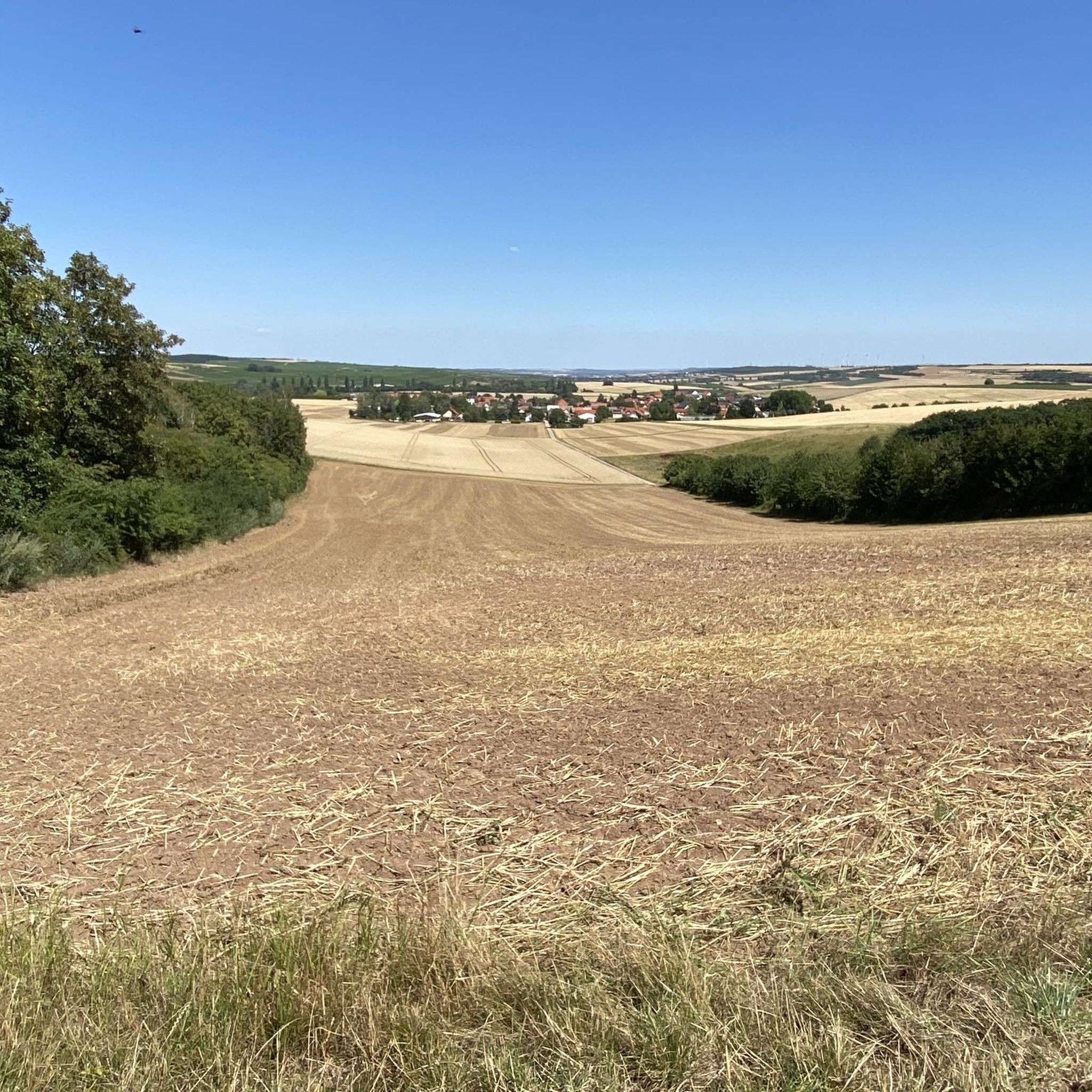
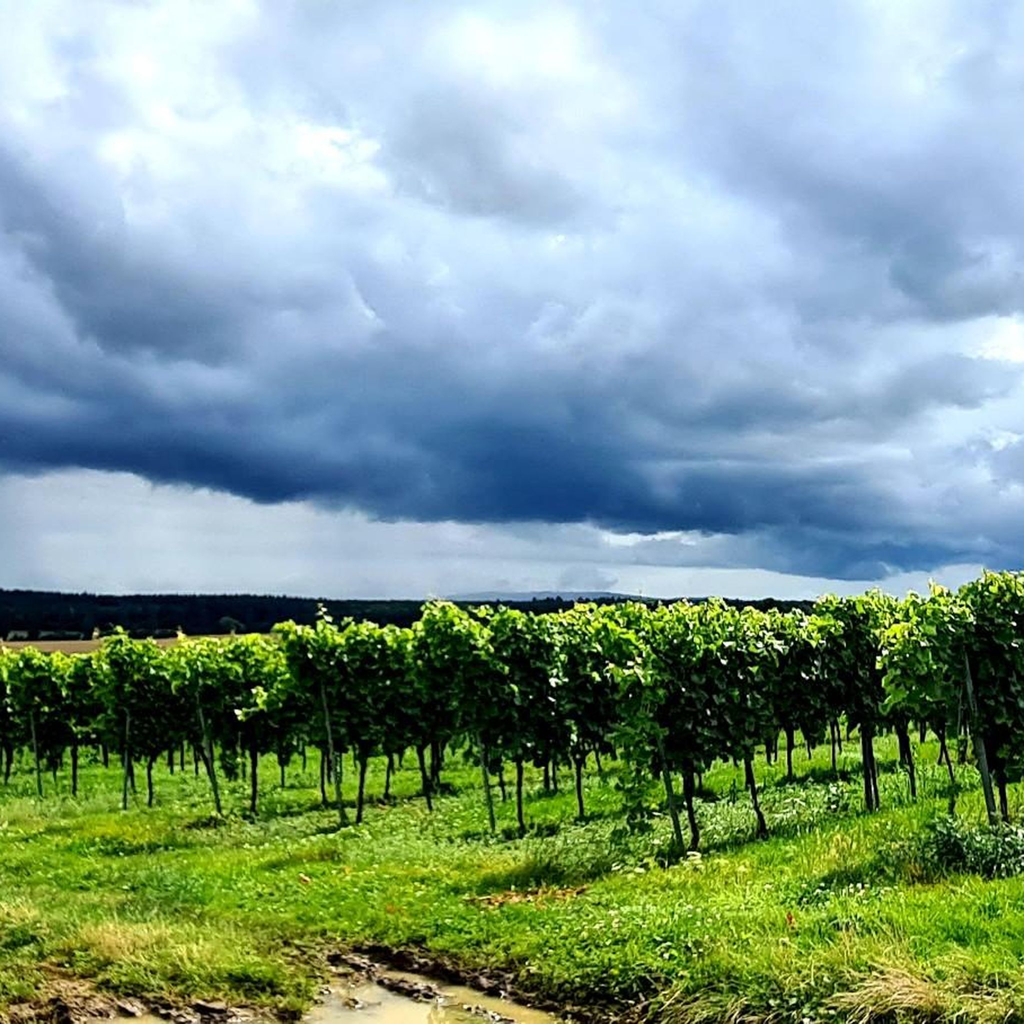
Hiking around Bechenheim offers diverse experiences within the Rheinhessen Switzerland region. The landscape is characterized by gently rolling hills, extensive vineyards, and significant forest areas like Vorholz. The Selz River and its valley are prominent natural features, with trails following its course. Kappelberg, the highest point in Rheinhessen, provides opportunities for forest hikes and rewarding vistas.
Best hiking trails around Bechenheim
- The most popular hiking route is View of Rheinhessische Schweiz – Hollahaus loop from Nieder-Wiesen, an easy 4.5…
Last updated: July 28, 2026
4.7
(15)
49
hikers
Easy hike. Great for any fitness level. Easily-accessible paths. Suitable for all skill levels.
5.0
(6)
30
hikers
Moderate hike. Good fitness required. Easily-accessible paths. Suitable for all skill levels.

Sign up for free
3.7
(3)
19
hikers
18.1km
04:58
270m
270m
Moderate hike. Good fitness required. Easily-accessible paths. Suitable for all skill levels.
3
hikers
Easy hike. Great for any fitness level. Easily-accessible paths. Suitable for all skill levels.
4.5
(4)
12
hikers
6.10km
01:42
110m
110m
Easy hike. Great for any fitness level. Easily-accessible paths. Suitable for all skill levels.
Get access to more routes and recommendations from other explorers.
Sign up for free
Already have an account?
Our route recommendations are based on thousands of hikes, rides, and runs completed by other people on komoot.
Start today with a free account
Your next adventure awaits.
Login or Signup
Tips from the Community

When the water level is low, you can cross the stream on foot. If you prefer to keep your feet dry, use the pedestrian bridge right next door. You will also find a Kneipp arm basin right at the ford for a short and pleasant cooling down.
1
0

First documented mention of the Schniftenbergerhof in 1182. The year of construction of the mill is unknown. The mill is already mentioned in documents in the 13th century. Parts of the north and west walls date from the Renaissance, as indicated by the surrounds. The house and cellar were probably built around 1580. It is the oldest mill in the Nordpfalz region in terms of its existing structure.
2
0

Every Hiwweltour has a window, so naturally this one does too. A great photo opportunity and a great place to rest. Even though it wasn't finished on our hike today.
0
0


The Selz River is the hydrographic axis of Rheinhessen. It flows for over 60 km in a large arc through Rheinhessen before emptying into the Rhine near Ingelheim. Hiking trails and a continuous cycle path (Selztal Cycle Path) run along the Selz. Anyone hiking in Rheinhessen should visit the source of the Selz. Cycling along the Selz also offers a beautiful cross-section of the Rheinhessen landscape.
0
0

The path marked here is not recognizable, we went around it
0
0


358m above sea level Some benches available
1
0
Frequently Asked Questions
How many hiking trails are available around Bechenheim?
There are over 560 hiking routes around Bechenheim, offering a wide range of experiences from easy strolls to more challenging excursions. This includes over 360 easy routes, 180 moderate routes, and 15 difficult routes.
What kind of landscapes can I expect to see while hiking near Bechenheim?
Hiking around Bechenheim offers diverse landscapes within the Rheinhessen Switzerland region. You'll encounter gently rolling hills adorned with extensive vineyards, significant forest areas like the Vorholz, and trails following the Selz River and its valley. The region is known for its 'breathtaking views' across the vineyards.
Are there any easy, family-friendly hikes around Bechenheim?
Yes, Bechenheim offers many easy routes suitable for families. For a shorter, gentle walk, consider the View of Nieder-Wiesen – Bechenheim Forest Car Park loop from Bechenheim. This easy trail is just 2.6 km long and takes about 40 minutes to complete, making it ideal for a relaxed outing.
What are some notable natural attractions or viewpoints to discover on a hike?
The region boasts several interesting natural features and viewpoints. You can find rewarding vistas from Kappelberg, the highest point in Rheinhessen. Other highlights include the Panorama Bench at Siefersheimer Horn and the expansive View of Rheinhessen Vineyards. The Heathland at the Siefersheimer Horn also offers unique natural scenery.
Are there any circular hiking routes in the area?
Yes, many routes around Bechenheim are circular. For a moderate loop that explores varied countryside, try the Hollahaus – Orbiser Pond loop from Bechenheim. This 18.1 km trail typically takes just under 5 hours to complete.
What is the best time of year to go hiking in Bechenheim?
Spring is particularly recommended for hiking around Bechenheim, as the landscape is in full bloom, offering vibrant scenery. However, the rolling hills and vineyards provide beautiful settings for walks throughout much of the year.
Are there any dog-friendly trails around Bechenheim?
Many trails in the Bechenheim region, particularly those through forests and vineyards, are suitable for hiking with dogs. It's always a good idea to keep your dog on a leash, especially near vineyards or livestock, and to check local regulations for specific areas.
What do other hikers enjoy the most about hiking in Bechenheim?
The komoot community highly rates the hiking experience in Bechenheim, with an average score of 4.5 stars from over 5000 reviews. Hikers often praise the diverse terrain, from rolling hills and vineyards to peaceful forest paths, and the scenic views of the Rheinhessische Schweiz.
Are there any trails that pass by lakes or ponds?
Yes, some routes will take you past local water features. The Hollahaus – Orbiser Pond loop from Bechenheim, for instance, passes by the Orbiser Pond. Other nearby highlights include the Fishing pond on the Appelbach near Wallertheim and the Pond in the Appelbach wetland.
Can I find moderate hikes with good views of the Rheinhessische Schweiz?
Absolutely. For a moderate hike with excellent views of the Rheinhessische Schweiz, consider the View of Rheinhessische Schweiz – Schniftenberger Mill loop from Nieder-Wiesen. This 12 km path offers varied terrain and takes about 3 hours and 15 minutes to complete.
Are there any forest hikes available?
Yes, the region includes significant forest areas. Kappelberg, the highest point in Rheinhessen, offers opportunities for peaceful forest hikes. Additionally, the Vorholz forest near Bechenheim features single trails and beautiful routes for exploring woodland environments. An easy option is the Woodland – Dreigemeindewald loop from Nieder-Wiesen, which is nearly 6 km long.
Most popular routes around Bechenheim
Most popular attractions around Bechenheim

Get inspired with the komoot mobile app


Explore more
Browse the best Hikes in other regions.
