The best walks and hikes around Sillans
4.4
(305)
1,642
hikers
168
hikes
Hiking around Sillans offers diverse terrain, characterized by the dramatic 42-meter Sillans Waterfall and the winding Bresque River. The region features lush forests of holm oaks and Aleppo pines, alongside limestone formations. Elevated viewpoints provide expansive views of the valley and the village.
Best hiking trails around Sillans
- The most popular hiking route is Château de Sillans loop from Saint-Étienne-de-Saint-Geoirs, a 6.9 miles (11.0 km) trail that takes 3 hours 3 minutes to complete. This moderate route features an…
Last updated: October 4, 2026
3.8
(5)
20
hikers
11.0km
03:03
190m
190m
Moderate hike. Good fitness required. Easily-accessible paths. Suitable for all skill levels.
3.0
(1)
13
hikers
10.6km
03:22
350m
350m
Moderate hike. Good fitness required. Mostly accessible paths. Sure-footedness required.

5.0
(3)
11
hikers
11.8km
03:29
340m
340m
Moderate hike. Good fitness required. Easily-accessible paths. Suitable for all skill levels.
5.0
(1)
11
hikers
5.48km
01:39
170m
170m
Easy hike. Great for any fitness level. Easily-accessible paths. Suitable for all skill levels.
4
hikers
Moderate hike. Good fitness required. Easily-accessible paths. Suitable for all skill levels.
Get access to more routes and recommendations from other explorers.
Already have an account?
Our route recommendations are based on thousands of hikes, rides, and runs completed by other people on komoot.
Start today with a free account
Your next adventure awaits.


Tips from the Community

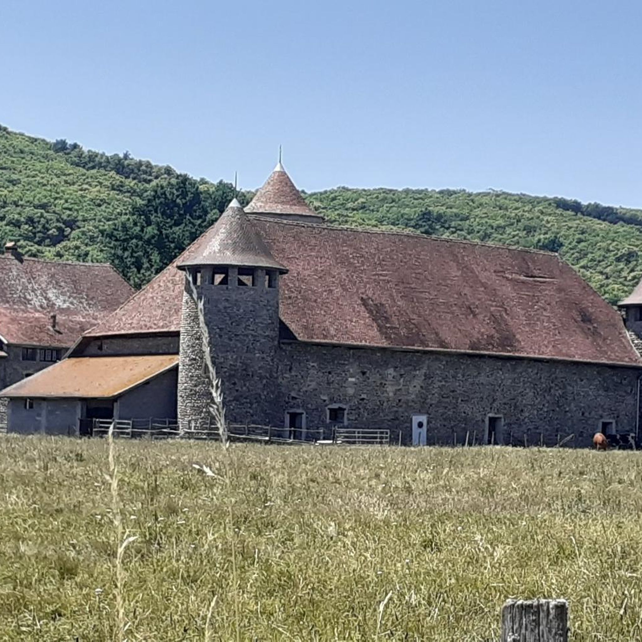
Traces of this castle can be found in the archives dating back to 1315, when it was under the jurisdiction of the lord of Saint Geoirs. A remarkably well-preserved tower still remains.
0
0
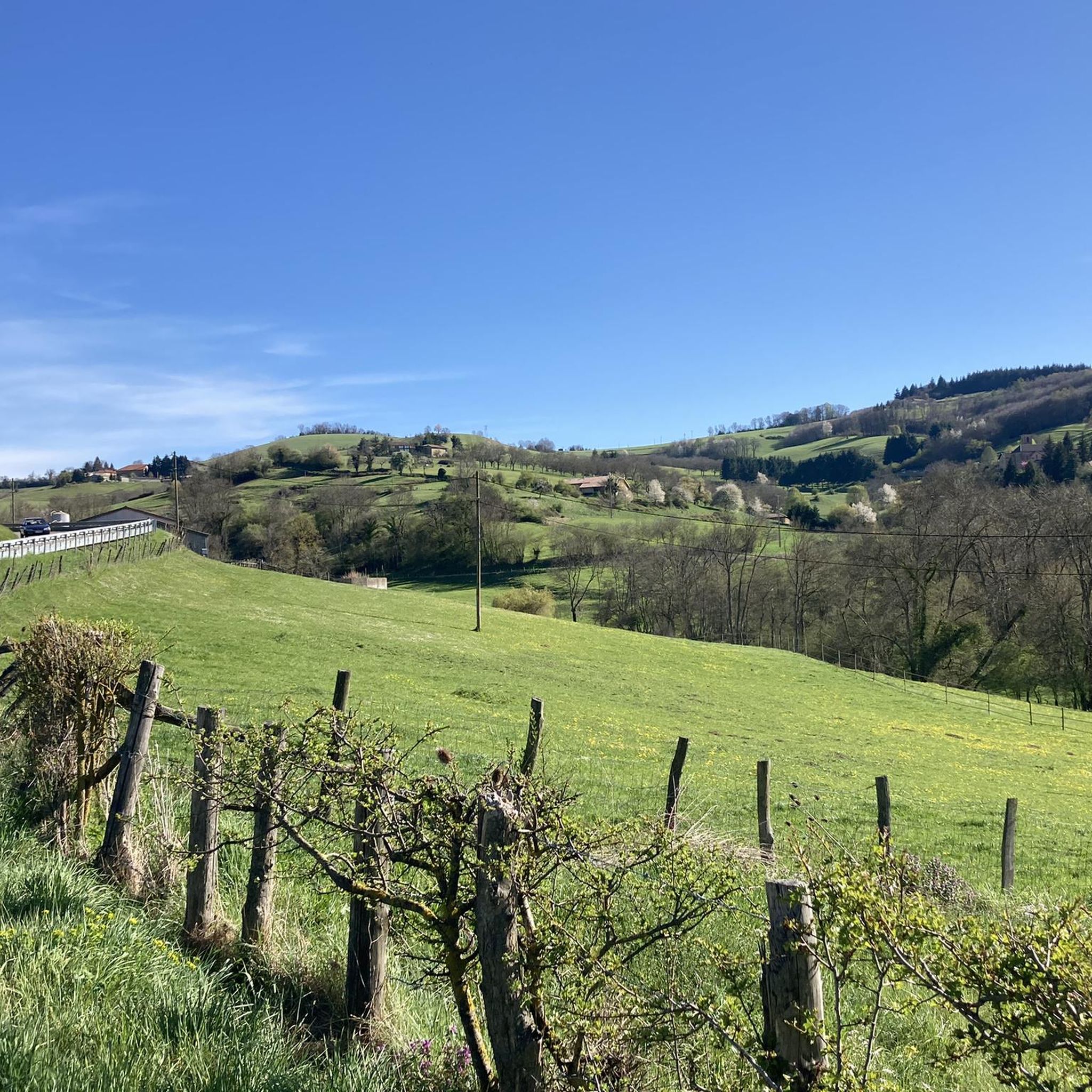
These ponds are often privately owned, and therefore fishing is prohibited. They are home to many birds and give St Geoirs a touch of the Dombes region.
0
0

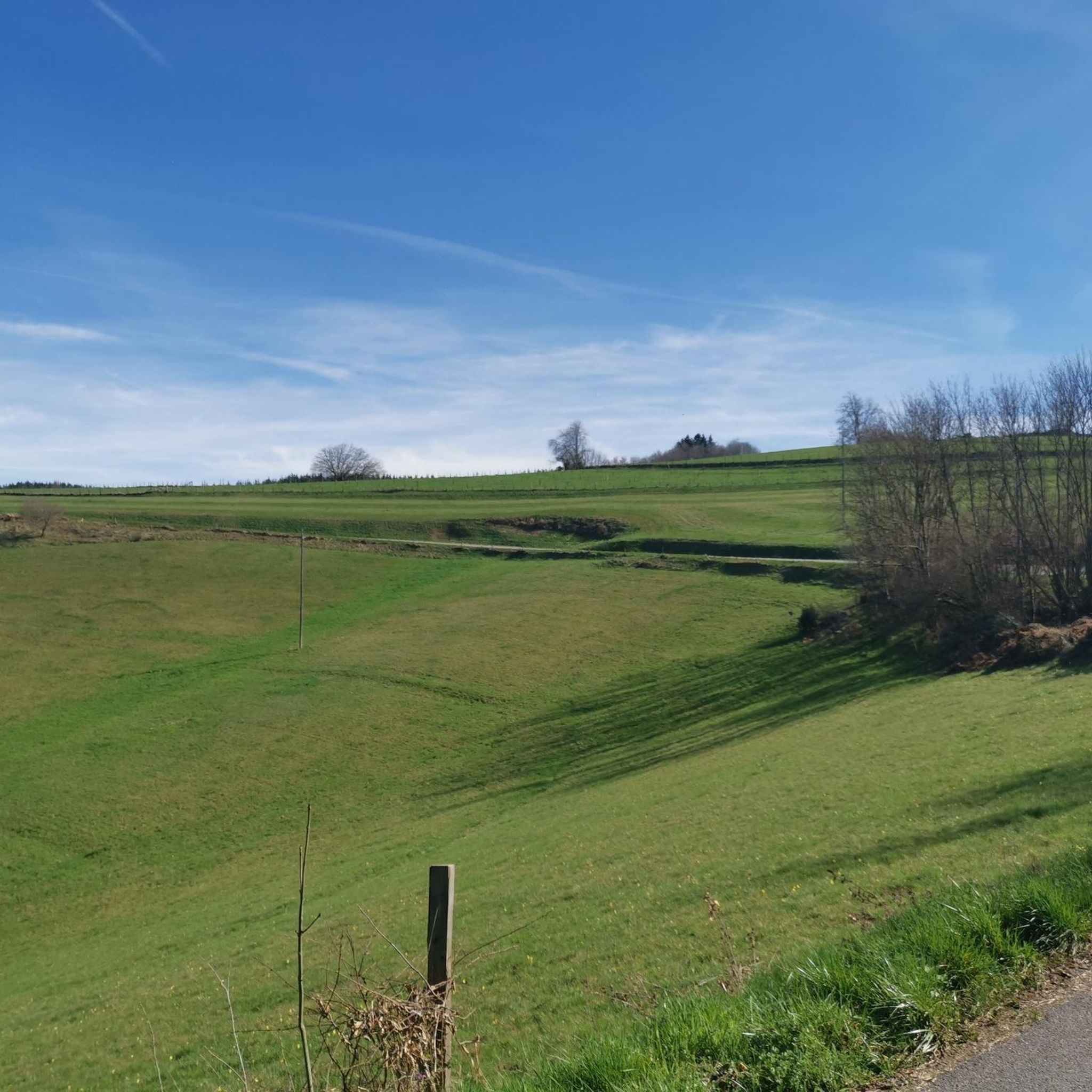
The view from the pass is worth the effort!
0
0

A fairly steady climb from Vinay, the start has easier grades of 2-4% with the second and final part increasing to 5-6%. The views from the top are definitely worth the effort!
2
0
Frequently Asked Questions
How many hiking trails are available around Sillans?
There are nearly 150 hiking trails around Sillans, offering a wide range of options for different skill levels. You'll find everything from easy strolls to more challenging excursions through the region's diverse landscapes.
What are the main natural features I can expect to see on a hike in Sillans?
The most iconic natural feature is the magnificent 42-meter Sillans Waterfall, where the Bresque River plunges into a stunning turquoise pool. You'll also encounter the winding Bresque River itself, lush forests of holm oaks and Aleppo pines, and unique limestone formations. Several trails lead to elevated viewpoints offering expansive views of the valley.
Are there any easy hiking trails suitable for beginners or families?
Yes, Sillans offers a good selection of easy trails. For a gentle walk, consider The ponds of St Geoirs loop from Plan, which is an easy 5.7 km route with moderate elevation gain, perfect for a relaxed outing. Many paths around the village and leading to waterfall viewpoints are also suitable for families.
Can I find circular hiking routes in Sillans?
Absolutely. Many of the trails in Sillans are circular, allowing you to start and end at the same point. For example, the Château de Sillans loop from Saint-Étienne-de-Saint-Geoirs is a moderate 11 km circular route that takes you through varied terrain. Another option is the Col de Châtain (684 m) loop from La Forteresse, a moderate 9.3 km path through forest landscapes.
What kind of terrain should I expect on the hiking paths?
The hiking paths in Sillans feature a mix of forest tracks, easy and moderate trails, and some hard-surfaced roads. While many sections are well-maintained, some can be slippery or steep, especially near the waterfall or on more challenging routes. Appropriate footwear is always recommended.
Are there any historical sites or landmarks to see while hiking?
Yes, beyond the natural beauty, you can explore several interesting landmarks. The village of Sillans-la-Cascade itself has ancient streets. Some trails may lead you past sites like the Château Louis XI or the Notre-Dame-du-Mont Chapel. The Panorama orientation table loop from Izeaux offers a viewpoint with historical context.
What do other hikers enjoy most about the trails in Sillans?
The trails in Sillans are highly rated by the komoot community, with an average score of 4.5 stars from over 200 reviews. Hikers frequently praise the stunning beauty of the Sillans Waterfall, the serene atmosphere of the Bresque River, and the immersive experience of walking through the dense Provençal forests. The diverse range of routes catering to different abilities is also a popular highlight.
Is there parking available near the trailheads?
Yes, parking is generally available in and around the village of Sillans-la-Cascade, particularly near popular access points for the waterfall walks. It's advisable to arrive early during peak season to secure a spot.
Are there any challenging hikes for experienced hikers?
While most routes are easy to moderate, there are a few trails that offer a greater challenge. For instance, the Lachard Pass (695 m) loop from La Forteresse is a moderate 11.5 km route with over 320 meters of elevation gain, providing a more strenuous experience through varied landscapes.
Can I access the main pool of the Sillans Waterfall for swimming?
Access to the immediate area around the main Sillans Waterfall and its pool is restricted for safety reasons due to falling rocks. However, the Bresque River upstream from the main fall features other pools and smaller waterfalls that may offer opportunities for wild swimming, though caution is always advised.
What is the best time of year to go hiking in Sillans?
Sillans-la-Cascade is beautiful year-round, but spring and autumn generally offer the most pleasant hiking conditions with mild temperatures and vibrant natural colors. Summer can be warm, making early morning or late afternoon hikes preferable. Winter hikes are also possible, offering a different, quieter perspective of the landscape.
Most popular attractions around Sillans

Get inspired with the komoot mobile app


Explore more
Browse the best Hikes in other regions.
