The 13 Most Amazing Peaks around Saint-Michel
Mountain peaks around Saint-Michel offer a diverse landscape for outdoor enthusiasts. This region, characterized by its varied terrain, provides access to numerous summits and passes. Visitors can explore a range of natural monuments and viewpoints, making it a destination for those seeking both challenge and scenic beauty. The area's geography includes significant peaks and historical passes that connect different valleys.
Best mountain peaks around Saint-Michel
- The most popular mountain peaks is Munhoa Summit, a summit that culminates at 1,023 meters above sea level. From this mountain, visitors can admire the valleys of Luzaide and Baïgorry.
- Another must-see spot is Okabe summit, a summit offering beautiful views of the flat country and the Pic d'Orhy. The summit is wide, almost a small plateau, providing expansive vistas.
- Visitors also love Jara's summit, a path towards a summit with a beautiful steep coast. This peak offers a panoramic 360-degree view of the region.
- Saint-Michel is known for its summits, natural monuments, and mountain passes. The region offers a variety of mountain peaks to see and explore, ranging from intermediate climbs to scenic viewpoints.
- The mountain peaks around Saint-Michel are appreciated by the komoot community, with 96 upvotes and 25 photos shared across the highlights.
Last updated: August 3, 2026
Roland Fountain
Highlight • Natural Monument
Translated by Google •
Tip by

Okabe summit
Highlight • Summit
Translated by Google •
Tip by
Sign up now to discover places like this
Get recommendations on the best single tracks, peaks, & plenty of other exciting outdoor places.
Sign up for free
Munhoa Summit
Highlight • Summit
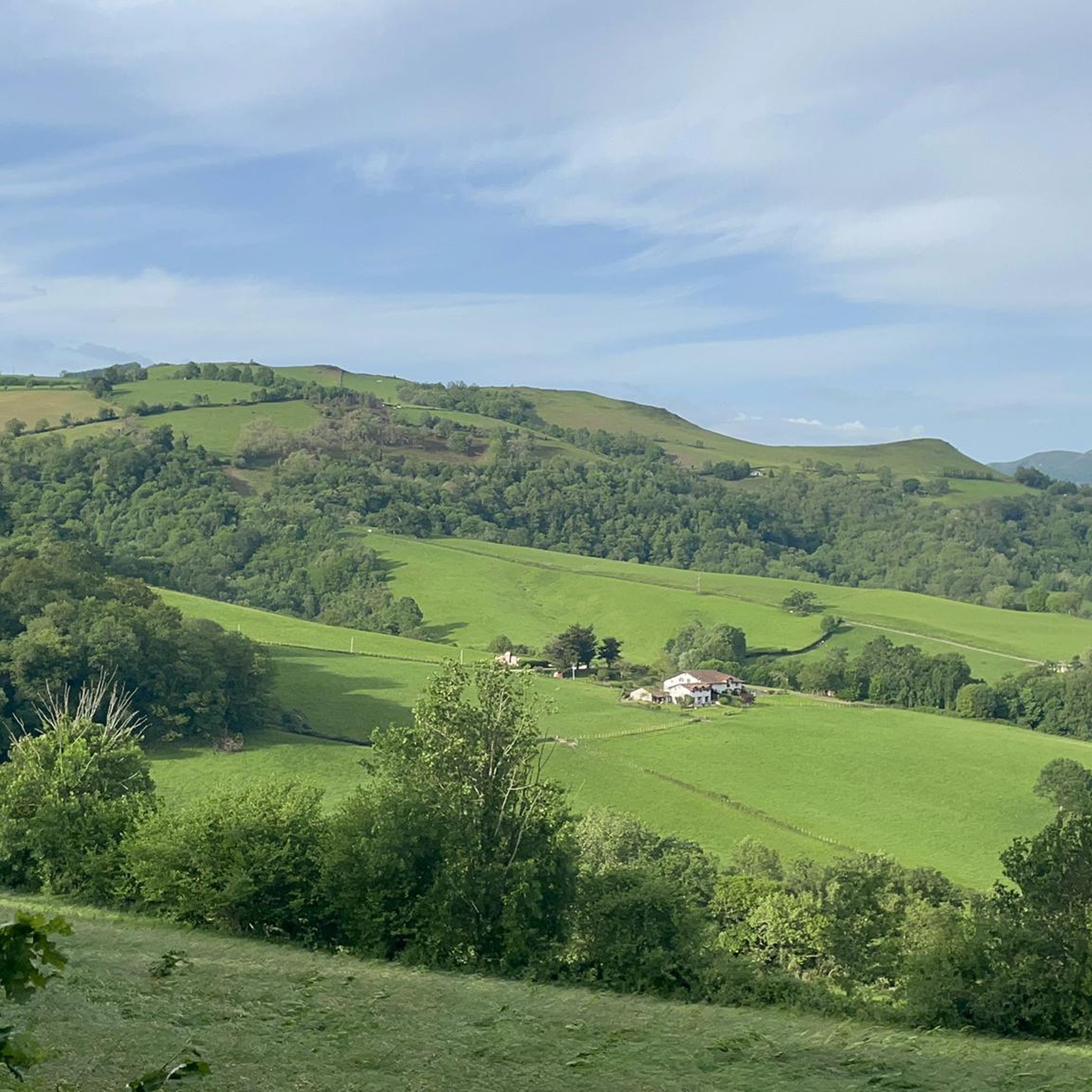
From this mountain you can admire the valleys of Luzaide and Baïgorry separated by the Adartza massif.
Translated by Google •
Tip by

Ibañeta Pass (Col de Burregieta)
Highlight • Mountain Pass
Translated by Google •
Tip by

Lepoeder Pass Viewpoint
Highlight • Viewpoint
Translated by Google •
Tip by

Sign up for free to discover even more peaks around Saint-Michel.
Sign up for free
Already have an account?
Start today with a free account
Your next adventure awaits.
Login or Signup


Tips from the Community

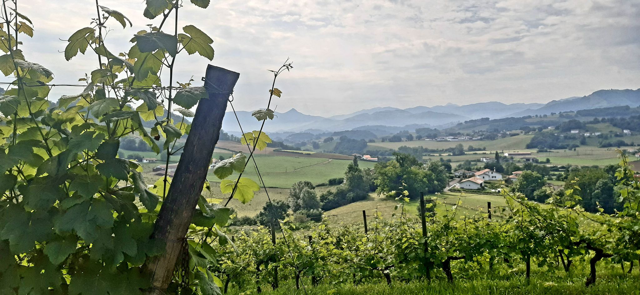
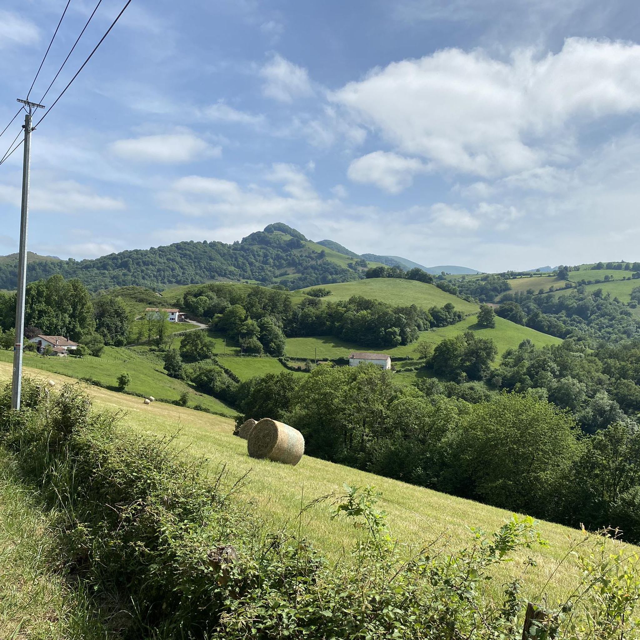
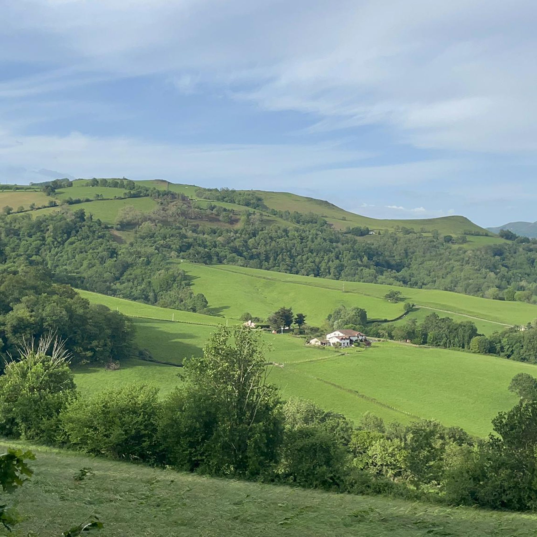
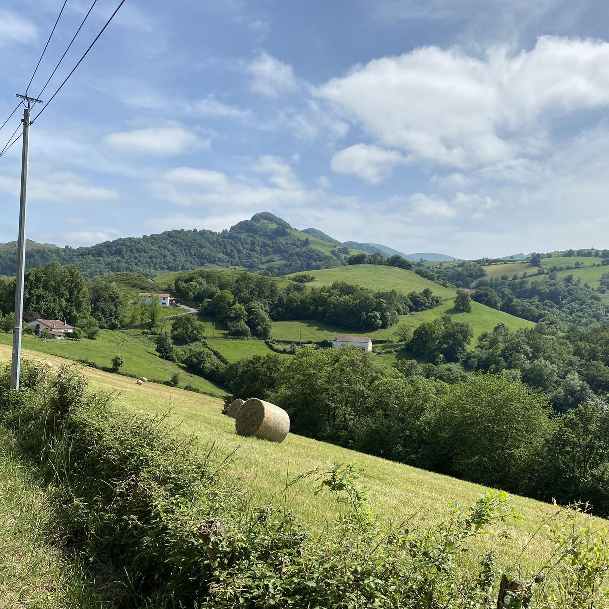
Okabe Summit (1,466 m) a Mythical vistas and ancient mysteries. Reaching the summit of Mount Okabe (1,466 m) is widely considered one of the most serene, atmospheric, and visually striking highlights in the Basque Pyrenees. Situated near the famous Iraty forest, this high-altitude peak offers a rare blend of wild natural beauty and rich archaeological mystery. Right near the peak lies the Cromlechs of Okabe, a prehistoric necropolis featuring dozens of ancient stone circles scattered across the high plateau. Standing among these centuries-old megaliths high in the mountains gives the summit a deeply mysterious, timeless atmosphere. Endless 360-Degree Panoramas: The top is a wide, open, grassy dome. On a clear day, the views are simply magnificent, stretching across the rolling green Basque hills, the dense canopy of the Iraty forest, and the higher, jagged Pyrenean peaks in the distance.
1
0
The Lepoeder Pass (Col de Lepoeder), standing at roughly 1,430 meters, is the highest point and the ultimate climax of the Route of Napoleon on the Camino de Santiago. Reaching this viewpoint is one of the most physically demanding but deeply rewarding moments of the entire trek from France into Spain. Because it is the highest saddle on the route, it is notoriously windy and exposed to the elements. Even on a sunny day, you will likely want to pull on a windbreaker while you stop to take your photos. This viewpoint is a critical junction. From here, you must choose your path down to Roncesvalles: the steep, direct trail that plunges straight through the beautiful but tough woodland, or the slightly longer, gentler paved route that takes you via the Ibañeta Pass.
1
0
The Lepoeder Pass is a magnificent, unforgettable milestone. The Lepoeder Pass (Col de Lepoeder), standing at roughly 1,430 meters, is the highest point and the ultimate climax of the Route of Napoleon on the Camino de Santiago. Reaching this viewpoint is one of the most physically demanding but deeply rewarding moments of the entire trek from France into Spain. Because it is the highest saddle on the route, it is notoriously windy and exposed to the elements. Even on a sunny day, you will likely want to pull on a windbreaker while you stop to take your photos. This viewpoint is a critical junction. From here, you must choose your path down to Roncesvalles: the steep, direct trail that plunges straight through the beautiful but tough woodland, or the slightly longer, gentler paved route that takes you via the Ibañeta Pass.
1
0

This place is full of trash, very dirty, a disgrace!!! The Basque mountains are not trash cans, please respect them. Too many people are behaving badly towards the pastures. Please take your trash back with you; it's disgusting and disrespectful.
1
0

Col Burriegeta, also known as Puerto de Ibañeta, is a historic mountain pass in the Pyrenees, located between France and Spain. The pass is best known for its role in the Camino de Santiago, where pilgrims cross the border on their way to Santiago de Compostela1. The pass offers breathtaking views and is home to the modern chapel of San Salvador, which replaced an older chapel, and a monument to Roland, which commemorates the Battle of Roncesvalles in 778. Col Burriegeta is an important passage for both pilgrims and cyclists, who enjoy the challenging climb and the beautiful surroundings.
2
0

This is the highest point on the Camino over the Pyrenees
1
0

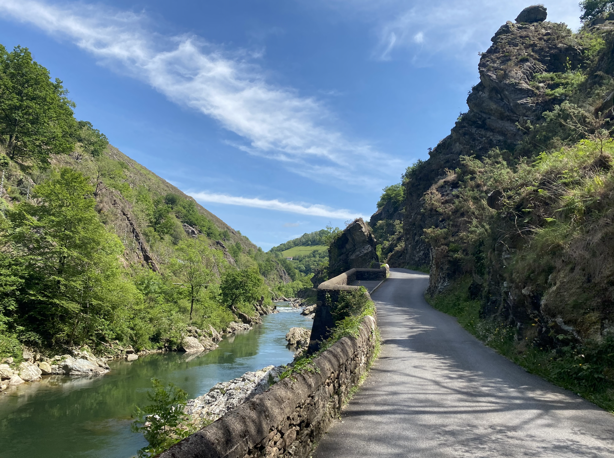
The water tastes good - refill the water bottle!
1
3

Frequently Asked Questions
What are some of the most popular mountain peaks to explore around Saint-Michel?
The komoot community highly rates several peaks in the region. Munhoa Summit, culminating at 1,023 meters, offers stunning views of the Luzaide and Baïgorry valleys. Another favorite is Okabe summit, known for its expansive, plateau-like top and views of the flat country and Pic d'Orhy. Jara's summit also provides a magnificent 360-degree panorama of the region.
Are there family-friendly mountain trails around Saint-Michel?
While specific family-friendly trails to the summits are not detailed, the region offers various hiking opportunities. For example, the Roland Fountain is listed as a family-friendly natural monument, suggesting easier access points or shorter walks nearby. When planning, look for trails with moderate difficulty and shorter distances, which are often more suitable for families.
What is the typical difficulty of mountain peaks near Saint-Michel?
The mountain peaks around Saint-Michel offer a range of difficulties. Summits like Munhoa Summit and Okabe summit are generally considered intermediate. These often involve significant elevation gain and distance, requiring good physical condition. Some routes, especially those involving mountain passes like Ibañeta Pass (Col de Burregieta), can also be challenging.
What outdoor activities can I do near these mountain peaks?
Beyond summiting, the area around Saint-Michel is excellent for various outdoor activities. You can find numerous hiking routes, such as the 'Porte Saint-Jacques – Pilgrims' office loop' or the 'Organbide Dolmen – Orgambide Pass loop'. For cyclists, there are challenging road cycling routes like the 'Loop 10: Errozate Pass' or the 'Loop of the Irau pass'. You can explore more options on the Hiking around Saint-Michel and Road Cycling Routes around Saint-Michel guide pages.
What historical sites or natural monuments can be found near the peaks?
The region is rich in both natural beauty and history. The Ibañeta Pass (Col de Burregieta) is a historic mountain pass in the Pyrenees, known for its role in the Camino de Santiago and a monument to Roland. Additionally, the Roland Fountain is a notable natural monument, offering a place to refill water bottles.
What is the best time of year to hike the mountains around Saint-Michel?
The best time to hike the mountain peaks around Saint-Michel is generally from late spring to early autumn. During these months, trails are typically clear of snow, and the weather is more favorable for outdoor activities. Summer offers the warmest temperatures, but spring and autumn can provide pleasant conditions with fewer crowds and vibrant natural colors.
What kind of wildlife might I encounter on the mountain peaks?
When exploring the mountain peaks around Saint-Michel, you might encounter various wildlife. Tips for Munhoa Summit mention wild horses and sheep. With a bit of luck, you might also spot vultures, especially around Jara's summit, which is known for its steep coast where these birds can be seen.
What should I wear for mountain hiking in Saint-Michel during summer?
For summer mountain hiking in Saint-Michel, it's advisable to wear layers. Start with moisture-wicking base layers, add a mid-layer for warmth, and carry a waterproof and windproof outer shell. Sturdy hiking boots with good ankle support are essential. Don't forget sun protection (hat, sunglasses, sunscreen), plenty of water, and snacks. Even in summer, weather in the mountains can change rapidly.
Are there any hidden gems or less-known peaks worth exploring?
While the main highlights are popular for a reason, exploring the broader network of trails can reveal hidden gems. For instance, the Ibañeta Pass (Col de Burregieta) offers wonderful views and is part of picturesque paths that can be combined for circular routes, providing a less crowded experience compared to direct summit assaults.
What do visitors enjoy most about the mountain peaks around Saint-Michel?
Visitors consistently praise the breathtaking panoramic views from the summits, such as the 360-degree vista from Jara's summit and the extensive outlook from Okabe summit. The presence of wild horses and sheep, particularly near Munhoa Summit, adds to the natural charm. The combination of challenging hikes and rewarding scenery makes the region highly appreciated by the komoot community.
Can I find drinking water sources on the trails?
Yes, some trails offer convenient water sources. For example, the Roland Fountain is explicitly mentioned as a place where you can fill up your water bottle with drinking water. It's always wise to carry sufficient water, but knowing about such spots can be helpful for longer treks.
Most popular routes around Saint-Michel
Most popular attractions around Saint-Michel

Get inspired with the komoot mobile app


Explore more
See even more amazing summits around Saint-Michel with these guides:
