The best walks and hikes around Baumholder
4.4
(294)
1,099
hikers
44
hikes
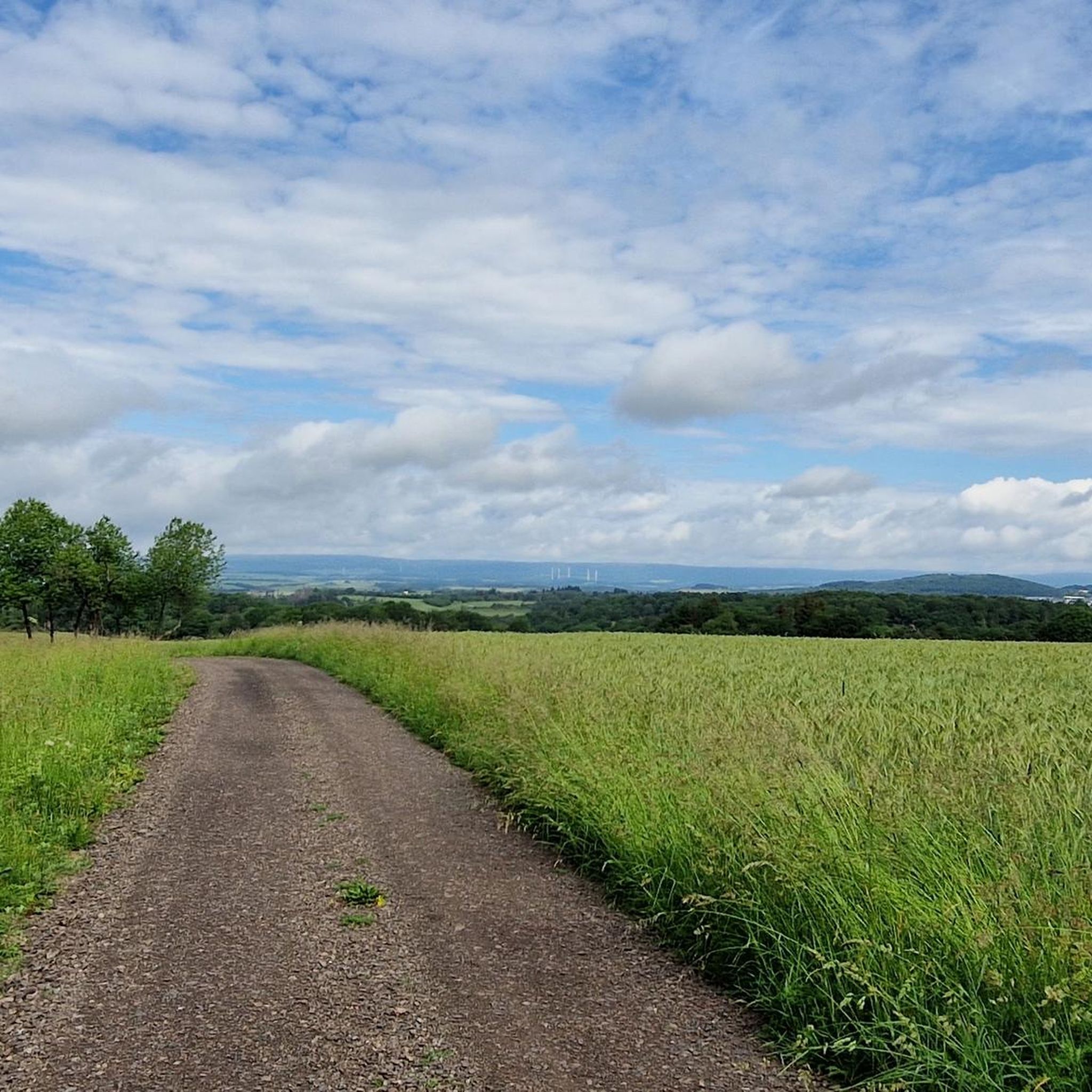
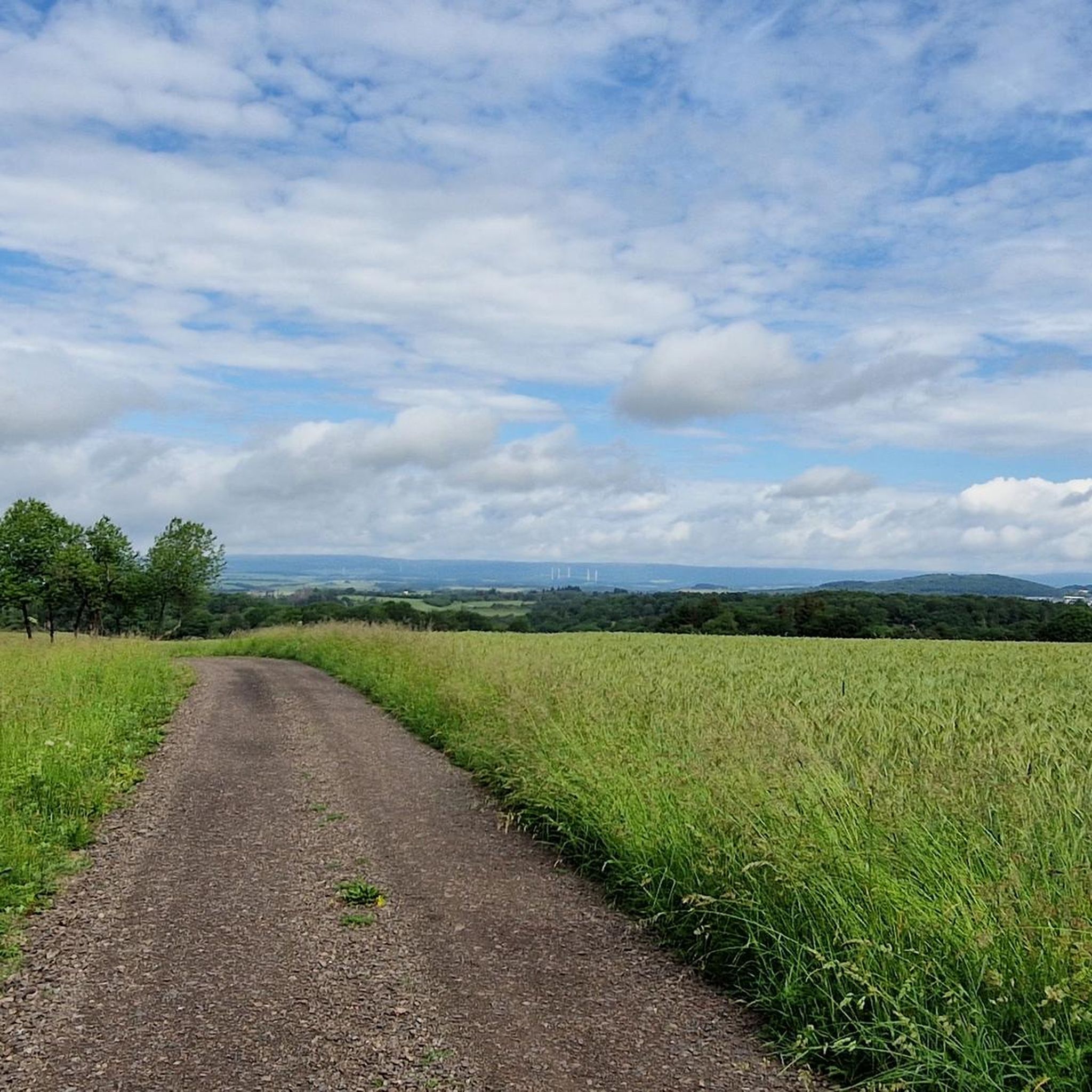
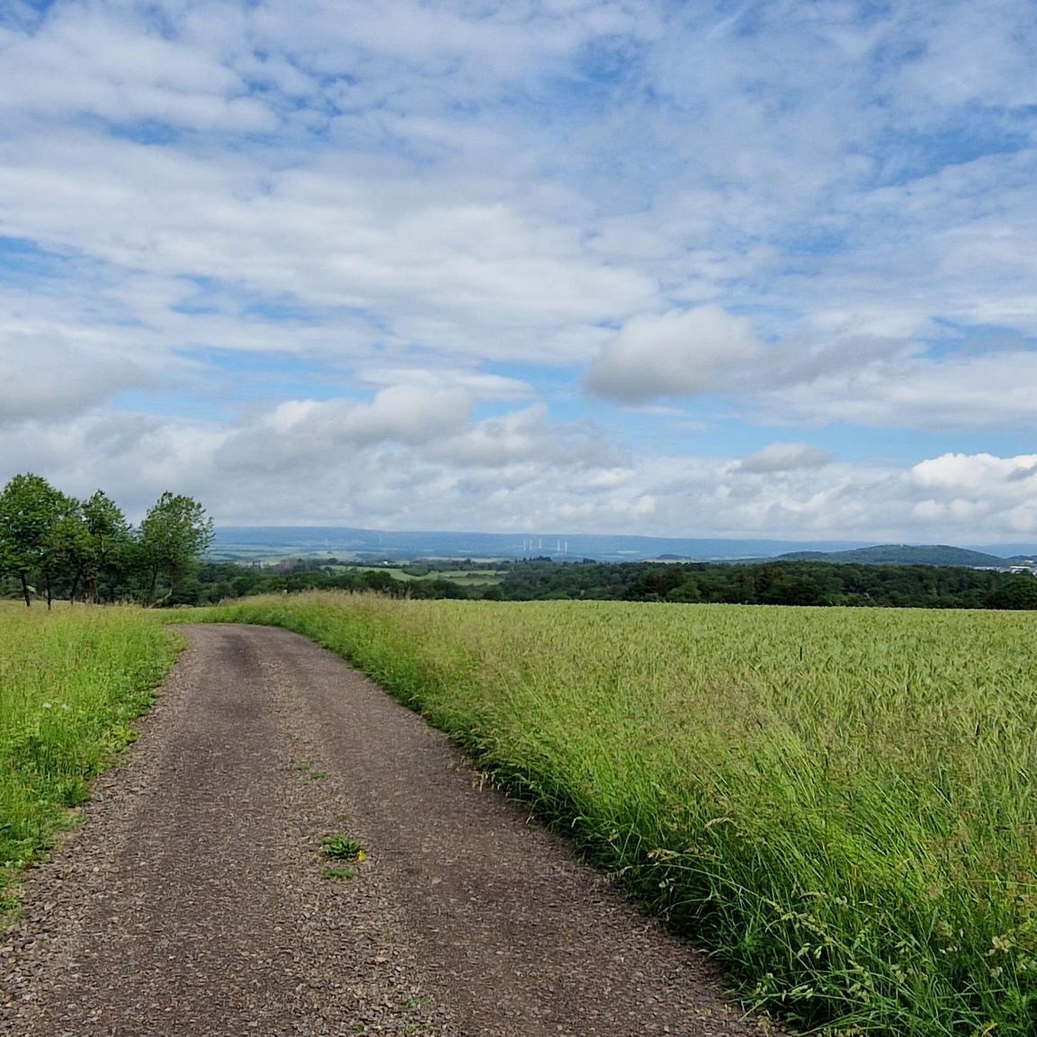
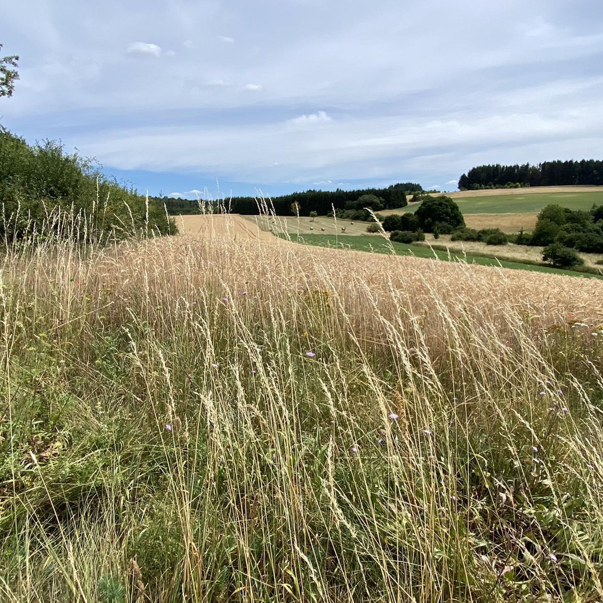
Hiking around Baumholder offers diverse landscapes situated between the Hunsrück and the North Palatine Uplands. The region features a blend of meadows, fields, and extensive woodlands, including broadleaf and mixed forests. Hikers can explore tranquil stream valleys, impressive rock formations, and areas along the Nahe River. The accessible Hunsrück-Hochwald National Park further enhances the natural appeal of the area.
Best hiking trails in Baumholder
- The most popular hiking route is Badgers' Trail – Huberstusruh loop from Baumholder, a 2.3 miles (3.7 km) trail that takes 1 hour 2 minutes to complete. This easy path winds through local woodlands, offering a peaceful outdoor experience.
- Another top favourite among local hikers is Ungeheuerstein Forest Trail – Ungeheuerstein Memorial loop from Baumholder, an easy 3.9 miles (6.2 km) path. This route explores forest areas and leads to the Ungeheuerstein Memorial.
- Local hikers also love the Ungeheuerstein Memorial – Ungeheuerstein Forest Trail loop from Baumholder, a 5.3 miles (8.6 km) trail leading through varied forest terrain, often completed in about 2 hours 23 minutes.
- Hiking around Baumholder is defined by diverse woodlands, tranquil creek valleys, and impressive rock formations. The network offers options for easy walks to more challenging routes, catering to different ability levels.
- The routes in Baumholder are highly rated by the komoot community with an average score of 4.5 stars from over 250 reviews. More than 1,000 hikers have used komoot to explore Baumholder's varied terrain.
Last updated: October 3, 2026
4.4
(7)
39
hikers
9.15km
02:30
140m
140m
Moderate hike. Good fitness required. Easily-accessible paths. Suitable for all skill levels.
4.7
(3)
20
hikers
3.66km
01:02
80m
80m
Easy hike. Great for any fitness level. Easily-accessible paths. Suitable for all skill levels.

4.7
(6)
20
hikers
Easy hike. Great for any fitness level. Easily-accessible paths. Suitable for all skill levels.
4.6
(5)
16
hikers
Moderate hike. Good fitness required. Easily-accessible paths. Suitable for all skill levels.
4.8
(4)
14
hikers
6.04km
01:41
110m
110m
Easy hike. Great for any fitness level. Easily-accessible paths. Suitable for all skill levels.
Get access to more routes and recommendations from other explorers.
Already have an account?
Our route recommendations are based on thousands of hikes, rides, and runs completed by other people on komoot.
Start today with a free account
Your next adventure awaits.

Tips from the Community

There are nice trails here that you can shred :-D
0
0

When the DLRG is on site, swimming is allowed.
0
0
Furthermore, no sign of the castle structure visible.
0
0

Bicycles are parked within the bathing area! Admission is free.
0
0

Why komoot doesn't write "Altes Schloss um 1850" remains unfathomable.
0
0

Beautiful single trail
1
0
Great new swing, you won't want to get off it anymore
0
0
Frequently Asked Questions
What kind of terrain can I expect on hiking trails around Baumholder?
Hiking around Baumholder offers a diverse landscape characterized by a blend of meadows, fields, and extensive woodlands, including both broadleaf and mixed forests. You'll also find charming stream valleys, impressive rock formations, and paths along the Nahe River. The region's trails range from easy, gentle paths to more challenging routes through varied forest terrain.
Are there many easy hiking trails suitable for beginners in Baumholder?
Yes, Baumholder offers a good selection of easy hiking trails. Out of over 40 routes in the area, nearly 30 are rated as easy. For example, the Badgers' Trail – Huberstusruh loop from Baumholder is an easy 3.7 km path winding through local woodlands, perfect for a relaxed outdoor experience.
Can I find circular hiking routes in Baumholder?
Many of the hiking routes in Baumholder are designed as loops, allowing you to start and end at the same point. Examples include the easy Ungeheuerstein Forest Trail – Ungeheuerstein Memorial loop from Baumholder, which explores forest areas, or the moderate Ungeheuerstein Memorial – Ungeheuerstein Forest Trail loop from Baumholder, covering 8.6 km through varied forest terrain.
Are there any family-friendly hiking options in Baumholder?
Baumholder is a great destination for families. The region offers a dedicated Nature Trail with interactive stations about local flora and fauna, combining playful learning with hiking. Additionally, many of the easy, shorter routes are suitable for families, such as the Hiking loop from KARL - WAGNER - PLATZ, an easy 3.3 km trail.
What natural features or landmarks can I see while hiking in Baumholder?
Hikers in Baumholder can discover a variety of natural features and landmarks. The region is known for its deep, tranquil creek valleys, impressive rock formations, and scenic views along the Nahe River. You can also explore the Wildfrauenloch (Wild Women's Cave), a notable cave in the area. The nearby Hunsrück-Hochwald National Park also offers untouched forests and mythical beech forests.
Are dogs allowed on the hiking trails in Baumholder?
Generally, dogs are welcome on hiking trails in Baumholder. The diverse woodlands and open spaces provide an excellent environment for walking with your canine companion. However, it's always recommended to keep dogs on a leash, especially in nature protection areas or near wildlife, and to respect local regulations.
What do other hikers say about the trails in Baumholder?
The hiking routes in Baumholder are highly rated by the komoot community, with an average score of 4.5 stars from over 250 reviews. Hikers often praise the diverse landscapes, the tranquility of the stream valleys, and the well-maintained paths that cater to various skill levels.
Where can I find parking for hiking trailheads in Baumholder?
Many trailheads around Baumholder offer designated parking areas. While specific parking details vary by route, the town and its surrounding areas are generally well-equipped for visitors arriving by car. It's advisable to check the starting point of your chosen route for the most convenient parking options.
Are there opportunities for wildlife spotting in the Baumholder region?
Yes, the Baumholder region, including the Baumholder Troop Training Ground (which acts as a significant biotope), is a refuge for rare plant and animal species. Hikers might spot wildlife such as the common kingfisher, lynx, and badger. The accessible Hunsrück-Hochwald National Park also offers opportunities for wildlife spotting, including the wildcat, in its untouched forests.
What is the best time of year to go hiking in Baumholder?
Baumholder offers enjoyable hiking experiences throughout much of the year. Spring brings blooming meadows and fresh greenery, while autumn showcases vibrant forest colors. Summer is ideal for exploring the dense woodlands and enjoying the cooler temperatures in the valleys. The region's diverse landscapes make it appealing across different seasons, though checking local weather conditions is always recommended.
Are there any longer, moderate trails for more experienced hikers?
Yes, for those seeking a more extensive hike, Baumholder offers moderate trails. The Friedelbrunnen – Badgers' Trail loop from Baumholder is an easy 6.2 km route, but for a slightly longer and more challenging experience, the Ungeheuerstein Memorial – Ungeheuerstein Forest Trail loop from Baumholder is a moderate 8.6 km trail that takes about 2 hours 23 minutes to complete.
Most popular routes around Baumholder
Most popular attractions around Baumholder

Get inspired with the komoot mobile app


Explore more
Browse the best Hikes in other regions.
