The best cycling routes around Schweighausen
4.3
(1459)
13,700
riders
463
rides
Touring cycling routes around Schweighausen are located in the Rhein-Lahn-Kreis district of Rhineland-Palatinate, Germany. This area is part of the Hintertaunus region, characterized by its hilly and wooded landscapes. Proximity to the Lahn and Rhine rivers provides opportunities for routes along river valleys, while the higher elevations offer panoramic viewpoints. The terrain includes both relatively flat sections and more challenging ascents.
Best touring cycling routes around Schweighausen
- The most popular touring cycling route is Sentheim Train Station – Burnhaupt Station…
Last updated: October 28, 2026
4.4
(24)
165
riders
43.3km
02:30
220m
220m
Moderate bike ride. Good fitness required. Mostly paved surfaces.
3.0
(1)
24
riders
28.0km
01:42
250m
250m
Moderate bike ride. Good fitness required. Mostly paved surfaces.

4.0
(3)
13
riders
45.5km
02:39
240m
240m
Moderate bike ride. Good fitness required. Mostly paved surfaces.
15
riders
55.0km
03:16
360m
360m
Moderate bike ride. Good fitness required. Mostly paved surfaces.
4.3
(3)
10
riders
45.3km
02:48
130m
130m
Moderate bike ride. Good fitness required. Mostly paved surfaces.
Get access to more routes and recommendations from other explorers.
Already have an account?
Our route recommendations are based on thousands of hikes, rides, and runs completed by other people on komoot.
Start today with a free account
Your next adventure awaits.
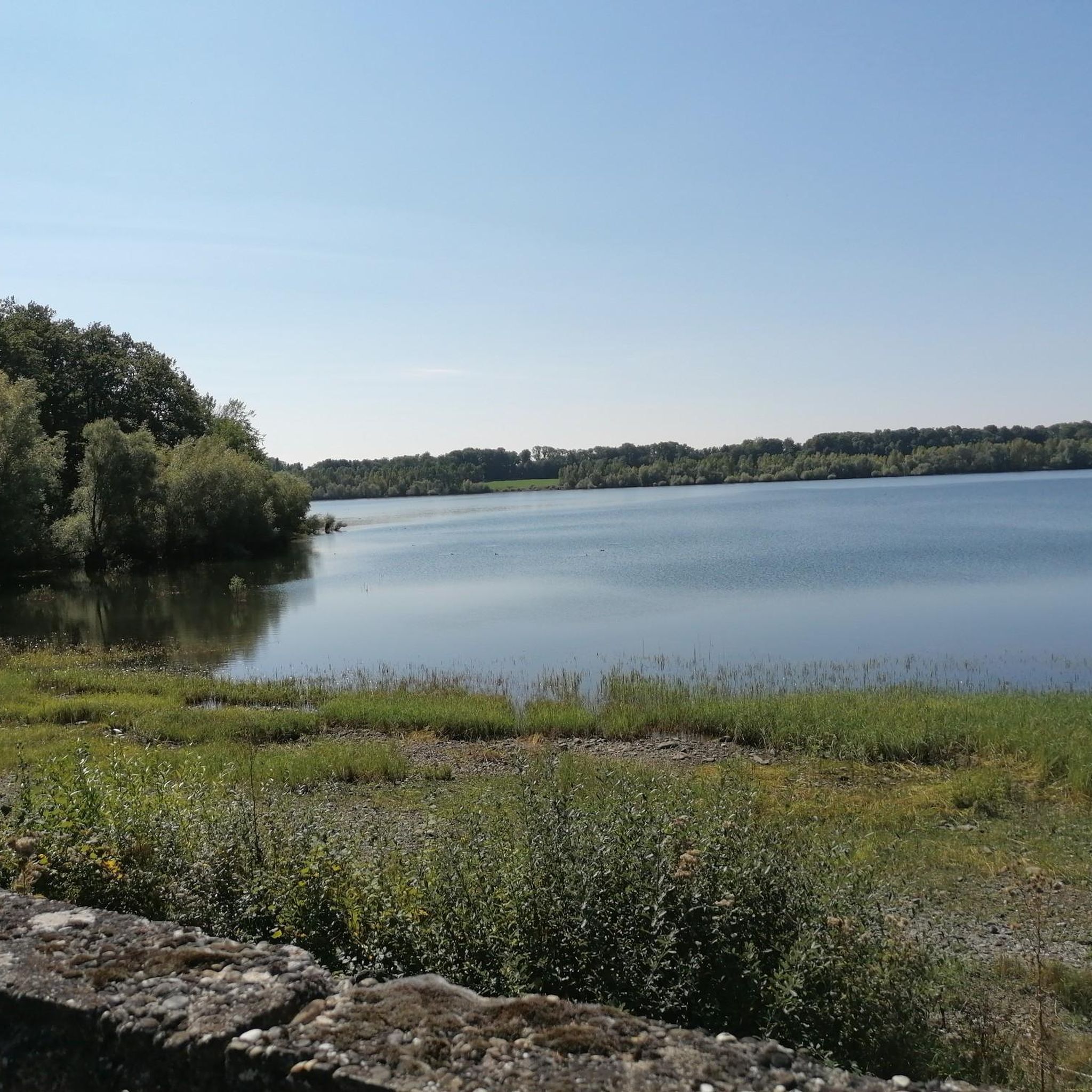
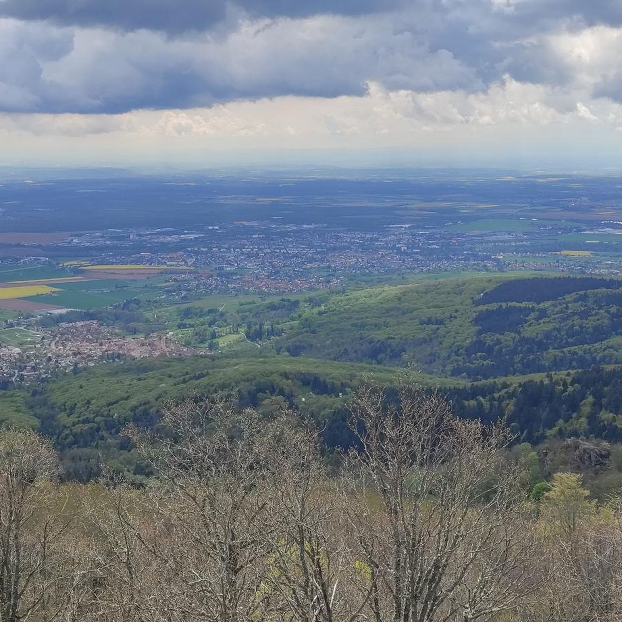

Tips from the Community

The Églises Saint-Martin (Sint-Martinuskerk) in Masevaux is a historic, neoclassical church in Alsace. The church is particularly known for its impressive organ history and the annual international organ festival
6
0
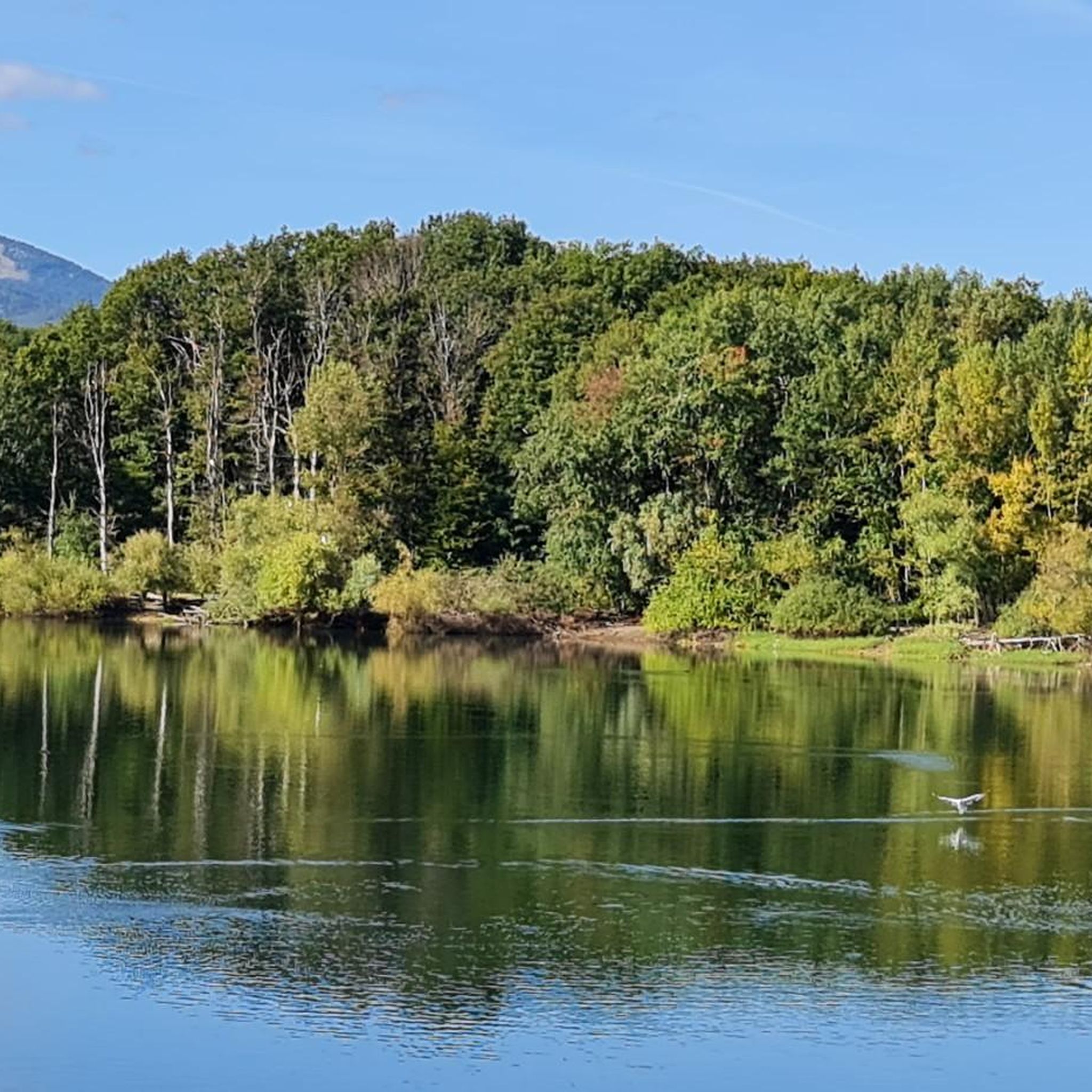
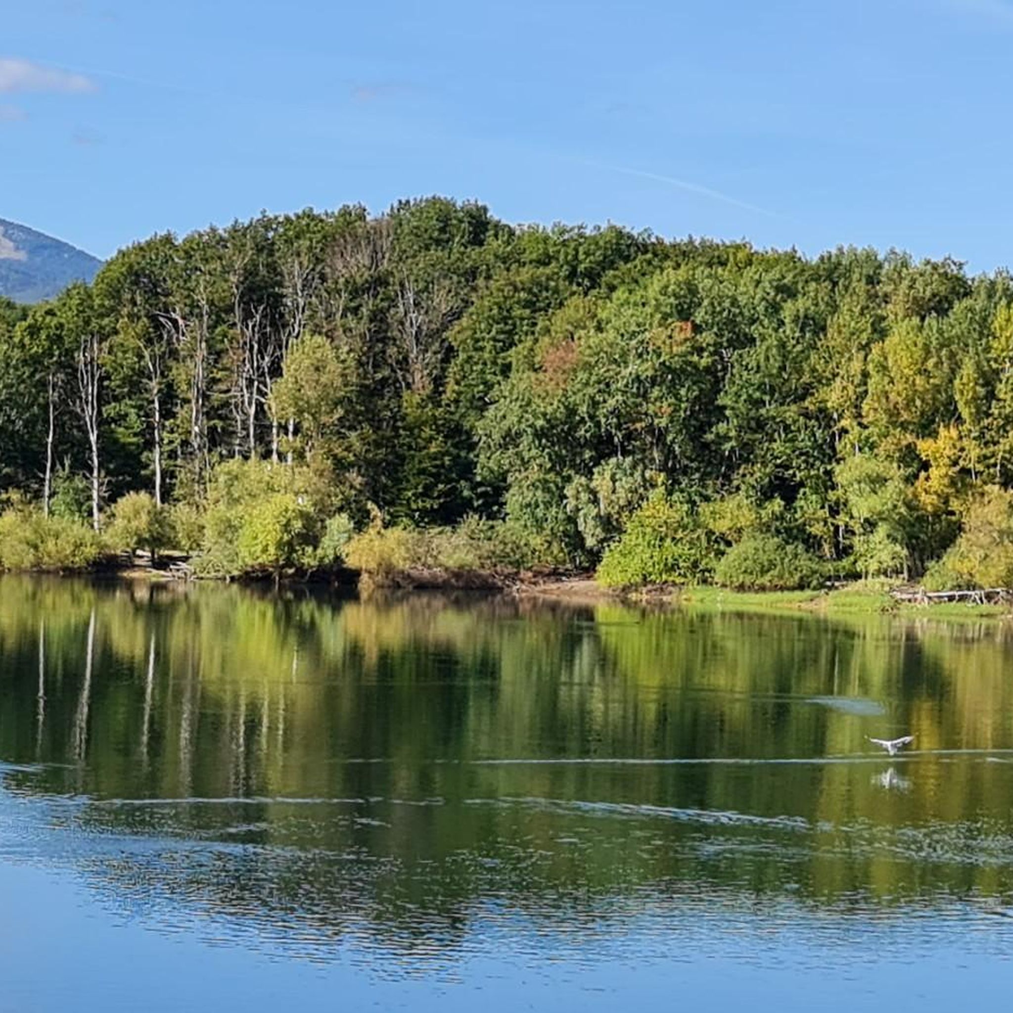
A picturesque mountain lake at the foot of the Ballon d'Alsace, surrounded by forests and steep slopes. 🚴♂️🏞️⛰️
7
0
The Doller-fietspad (Voie Verte de la Vallée de la Doller) between Masevaux and Sewen largely follows a former railway line through the Doller valley in the southern Vosges. The route is approximately 10 to 12 km long, almost entirely car-free and asphalted. The gradient towards Sewen is very gradual, around 1%, making it a pleasant approach to the surroundings of the Ballon d'Alsace.
8
0

Bahnhof Burnhaupt-le-Haut The Bahnhof Burnhaupt-le-Haut is located on the former railway line from Cernay to Sewen, which led through the Dollertal. The line was built in the 19th century and was of great importance for passenger and freight transport in the region. During the First World War, the station gained particular strategic importance. Burnhaupt was located immediately behind or close to the front line between German and French troops. The railway was used to transport soldiers, weapons, ammunition, and other supplies. Due to the fighting, the station was heavily damaged. After the war, the station building was rebuilt between 1921 and 1923. A building typical of the region with elements of Alsatian architecture was created. The station has largely been preserved to this day and serves as a reminder of the importance of the railway for the region's development and the destruction of the First World War. Regular passenger service on the line was discontinued in 1967, and the line was later closed. Part of the former railway line is now operated as a museum railway by Train Thur Doller Alsace. Historic locomotives and wagons run on the line through the Dollertal, making the history of the railway tangible for visitors. The Bahnhof Burnhaupt-le-Haut is therefore not only a former transport hub, but also a historic site where the history of the region, the railway, and the First World War converge. Further information and historical photos: Train Thur Doller Alsace – Bahnhof Burnhaupt
0
0

This old chapel was erected after the French Revolution on the old path to Thann and fell into disrepair over time. In 1932, the community decided to rebuild it. The current small building has a simple nave, an open porch, and a small bell tower with a bell. In front of the chapel stands a statue of the Virgin Mary, which underscores the character of the place as a pilgrimage and devotional site. The chapel is dedicated to the "Mother of God of Perpetual Help" and belongs to the typical small religious monuments of southern Alsace.
1
0

calm and well-rolling section
0
0

Thann's sloping vineyards are famous for their south-facing orientation with slopes that can reach 45°, offering spectacular and dizzying landscapes. These hillsides, located between 350 and 450 meters above sea level, extend over an area of 22 hectares and are renowned for their volcanic terroir and their proximity to the Thur River, which provides the humidity necessary for the grapes to ripen. Among the grape varieties cultivated are Riesling, Pinot Gris, Gewürztraminer, and Muscat, all grown in often rocky and well-exposed soil, which gives the wines great finesse. Viticulture on these steep terrains requires harvests that are often carried out with ropes to ensure safety on these very steep slopes. These vineyards, particularly the Grand Cru Rangen, are among the most emblematic of the region.
0
0

The French and European National Cycleway is a great cycleway winding along side of the Rhine Rhone Canal with very little climbing, for those who do not like to climb. However those who are climbing shy, must be aware of the wind in this area. A lot of the locks still have the former lock man’s house which adds a bit of charm to every lock. One is never alone on this route as there is a constant passing of bicycles, both leisure and racing bikes.
0
0
Frequently Asked Questions
How many touring cycling routes are available around Schweighausen?
There are nearly 500 touring cycling routes around Schweighausen, catering to various skill levels. This includes over 160 easy routes, more than 180 moderate routes, and over 130 difficult routes, ensuring options for every touring cyclist.
What kind of terrain can I expect on touring cycling routes in Schweighausen?
The terrain around Schweighausen is diverse, featuring both relatively flat sections along river valleys like the Lahn and Rhine, and more challenging ascents through the hilly and wooded Hintertaunus region. You'll find a mix of paved paths and natural surfaces.
Are there any easy touring cycling routes suitable for beginners or families?
Yes, Schweighausen offers over 160 easy touring cycling routes. A good option for a relaxed ride is the Burnhaupt Station – Guewenheim station loop from Burnhaupt-le-Haut, which is 12.6 km long and features minimal elevation changes, making it ideal for beginners or a leisurely family outing.
What are some challenging touring cycling routes for experienced riders?
For experienced riders seeking a challenge, Schweighausen has over 130 difficult routes. The Col de Herrenfluh – Molkenrain Refuge loop from Aspach-le-Bas is a demanding 38.8 km path with significant elevation changes, offering a rewarding workout and stunning views.
What historical landmarks or natural features can I see along the touring cycling routes?
The region is rich in historical and natural sights. You can explore historical Limes sites, which offer a glimpse into ancient Roman history. For natural features, the area boasts various viewpoints offering expansive vistas. While not directly on a touring cycling route, the nearby Marksburg Castle, a never-destroyed medieval hilltop castle, is a significant cultural landmark in the broader Middle Rhine region.
Are there any circular touring cycling routes available?
Yes, many touring cycling routes around Schweighausen are designed as loops. For instance, the Sentheim Train Station – Burnhaupt Station loop from Burnhaupt-le-Haut is a moderate 42.5 km circular route that provides a balanced cycling experience through varied landscapes.
What do other touring cyclists say about the routes in Schweighausen?
The touring cycling routes in Schweighausen are highly rated by the komoot community, with an average score of 4.4 stars from over 1000 reviews. Cyclists often praise the varied landscapes, from river valleys to hilly woodlands, and the well-maintained paths that cater to different ability levels.
Are there any routes that offer great viewpoints?
Yes, the hilly terrain of the Hintertaunus region provides numerous opportunities for scenic viewpoints. The Great view on the valley – Col de Herrenfluh loop from Aspach-le-Bas is a difficult 41.7 km route specifically highlighting a great view of the valley, making it a popular choice for those seeking panoramic vistas.
What are some nearby attractions or points of interest I can visit during a cycling tour?
Beyond the routes themselves, you can explore several interesting sites. Consider visiting the Lower Rehfelsen Tunnels or the Schletzenbourg medieval mine for a historical cave experience. For natural beauty, the Viewpoint at the summit of Vieil Armand offers stunning panoramas, and Michelbach Lake provides a tranquil spot.
Are there any routes that follow riverbanks?
Yes, the proximity of Schweighausen to the Lahn and Rhine rivers means there are pleasant routes along their banks. These riverside paths typically offer relatively flat terrain, ideal for relaxed touring and enjoying waterside views.
What is the longest moderate touring cycling route in the area?
One of the longer moderate routes is the Eglingen Lock – Port of Dannemarie loop from Aspach-le-Bas, which spans 45.5 km. This route offers a balanced challenge with moderate elevation changes, perfect for a longer day out.
Most popular routes around Schweighausen
Most popular attractions around Schweighausen

Get inspired with the komoot mobile app


Explore more
Browse the best Cycling routes in other regions.
