The best walks and hikes around Champétières
4.6
(186)
740
hikers
87
hikes
Hiking around Champétières offers diverse terrain shaped by its volcanic origins within the Auvergne-Rhône-Alpes region. The landscape features quiet forests, high plateaus, and streams, providing varied environments for exploration. Situated near the Chaîne des Puys, a UNESCO World Heritage site, the area includes numerous extinct volcanoes and offers panoramic views. The region's natural features make it a prime destination for outdoor activities.
Best hiking trails around Champétières
- The most popular hiking route is Les Pierres Folles – La Pierre du…
Last updated: July 27, 2026
4.2
(5)
38
hikers
5.87km
01:37
100m
100m
Easy hike. Great for any fitness level. Easily-accessible paths. Suitable for all skill levels.
5.0
(3)
14
hikers
6.52km
02:05
280m
280m
Moderate hike. Good fitness required. Easily-accessible paths. Suitable for all skill levels.

Sign up for free
5.0
(2)
20
hikers
10.9km
03:04
230m
230m
Moderate hike. Good fitness required. Easily-accessible paths. Suitable for all skill levels.
4.0
(3)
9
hikers
11.6km
03:20
280m
280m
Moderate hike. Good fitness required. Easily-accessible paths. Suitable for all skill levels.
15
hikers
13.1km
03:44
300m
300m
Moderate hike. Good fitness required. Easily-accessible paths. Suitable for all skill levels.
Get access to more routes and recommendations from other explorers.
Sign up for free
Already have an account?
Our route recommendations are based on thousands of hikes, rides, and runs completed by other people on komoot.
Start today with a free account
Your next adventure awaits.
Login or Signup

Tips from the Community


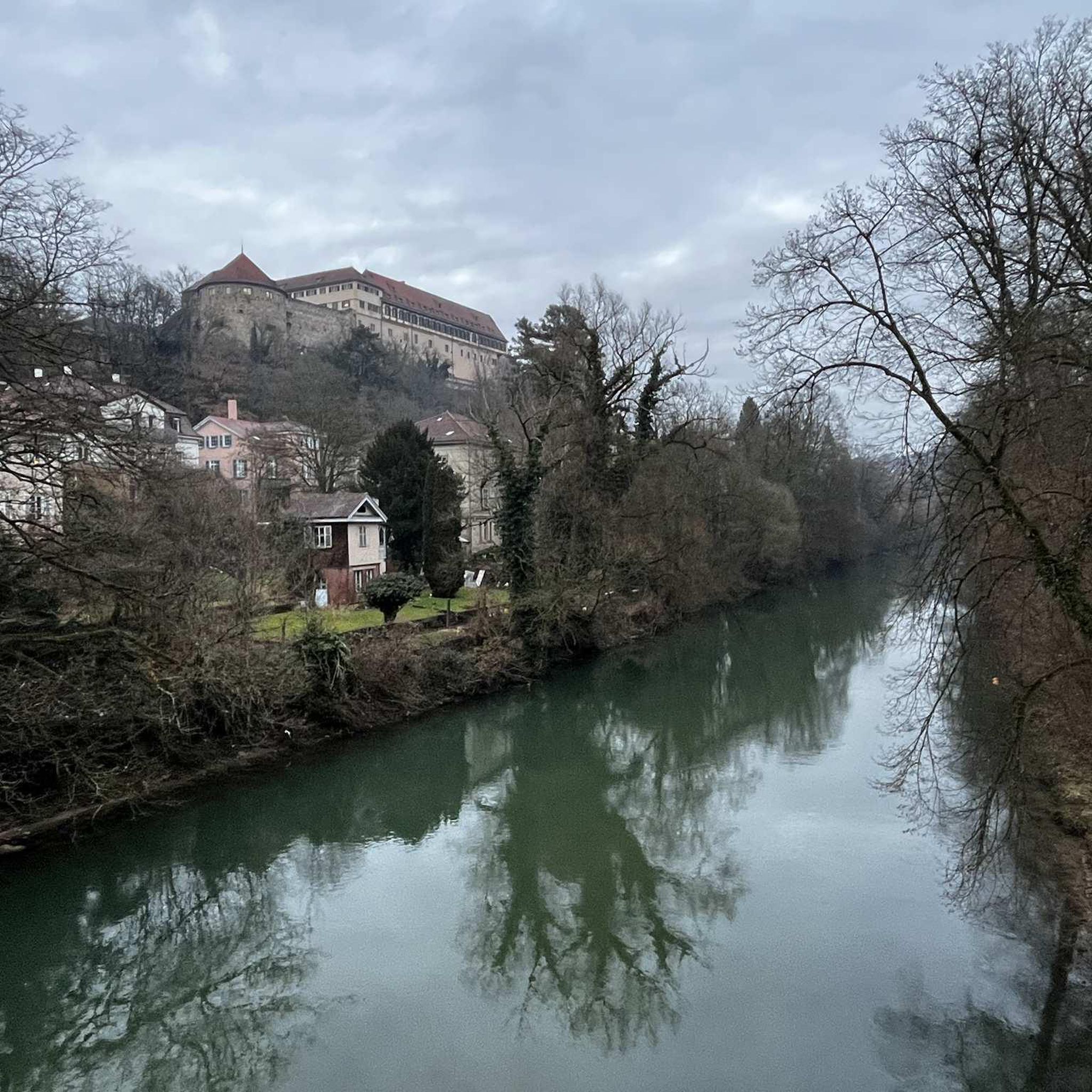
The "La Poule Rouge" and "L'Ane Bleu" paths are green corridors between the Masse district and the Ribbe bridge.
0
0
Various old mills are present all along the route, especially along the Gourre stream, where various remains of old mills used for papermaking remain. The trail also crosses the creek several times via nice little stone bridges.
0
0

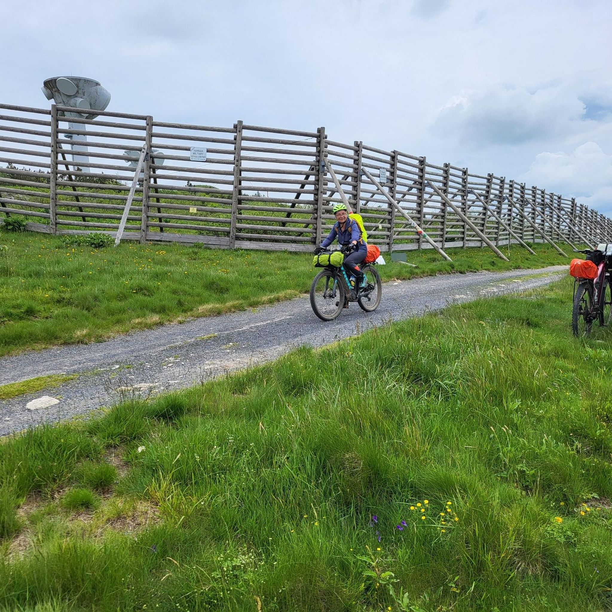
Le Monestier is a very high village, and offers bikepackers the possibility of filling up with water at a fountain or in the public toilets to be found behind the church - these toilets are exceptionally clean! Rather pleasant for a fresh wash!
0
0

Old church on the village square. Monument
0
0
Beautiful historic site, with picnic area nearby
0
0
Frequently Asked Questions
How many hiking trails are available around Champétières?
There are over 90 hiking trails in the Champétières area, offering a wide range of options for different skill levels and preferences. The komoot community has explored these diverse routes over 680 times.
What kind of landscapes can I expect to see while hiking near Champétières?
The region around Champétières is defined by its unique volcanic origins, offering diverse landscapes. You'll encounter quiet forests of beech and fir, high plateaus, and streams like the Gourre. The area is part of the Auvergne Volcanoes Regional Natural Park, providing dramatic volcanic scenery, including views of the Chaîne des Puys, a UNESCO World Heritage site.
Are there any easy hiking trails suitable for beginners or families?
Yes, Champétières offers many easy trails perfect for beginners or families. For example, the Les Pierres Folles – La Pierre du Lit loop from Fournols is an easy 5.9 km route with gentle elevation changes, typically taking less than two hours to complete. There are 42 easy routes in total.
Can I find circular hiking routes in Champétières?
Absolutely. Many of the trails around Champétières are designed as circular routes, allowing you to start and end at the same point. A popular option is the Statue – The Virgin of Monestier loop from Le Monestier, a moderate 6.5 km path offering varied terrain and scenic views.
What are some notable natural features or viewpoints accessible on hikes?
Hikers can discover several natural highlights. The region's volcanic landscape provides stunning panoramas, especially from higher points. You might encounter picturesque stone bridges crossing streams, and the area is rich in diverse plant and animal species. While not directly on a trail, the nearby Col des Pradeaux offers scenic views connecting the Ance and Dore valleys.
Are there any historical or cultural sites I can visit while hiking?
Yes, the region blends natural beauty with rich history. The Medieval Ambert loop from Ambert takes you through the historic town of Ambert, known for its half-timbered houses. You can also visit the Richard-de-Bas Mill, a significant monument of the French paper industry, which is still in operation and open for visits.
What do other hikers say about the trails in Champétières?
The trails in Champétières are highly regarded by the komoot community, with an average rating of 4.7 stars from over 170 reviews. Hikers frequently praise the well-maintained paths, the diverse volcanic landscapes, and the opportunities to explore both natural beauty and charming villages.
What is the best time of year to go hiking in Champétières?
The best time to hike in Champétières is generally from spring to autumn, when the weather is mild and the natural scenery is vibrant. Spring brings blooming wildflowers, while autumn offers beautiful foliage. Summer is also popular, but be prepared for warmer temperatures. Winter hiking is possible but may require appropriate gear for snow and ice, especially at higher elevations.
Are the hiking trails around Champétières dog-friendly?
Many trails in the Champétières area are dog-friendly, allowing you to enjoy the natural beauty with your canine companion. However, it's always recommended to keep dogs on a leash, especially in protected areas or near livestock, and to check specific trail regulations before you go.
Are there options for longer, more challenging hikes in the area?
While many trails are easy to moderate, Champétières also offers options for more challenging hikes. There are 4 difficult routes and 45 moderate routes, often featuring more significant elevation gains and longer distances, allowing experienced hikers to explore deeper into the volcanic landscapes and forests.
Where can I find parking for hiking trailheads in Champétières?
Parking is generally available at or near the trailheads in and around Champétières and its surrounding villages like Fournols or Ambert. Many routes, being circular, start and end in locations with designated parking areas, making access convenient for hikers.
Can I access Champétières and its hiking trails using public transport?
While public transport options might be limited directly to every trailhead in a rural area like Champétières, regional bus services connect larger towns such as Ambert. From these towns, you might need to arrange local transport or start your hike directly if the trailhead is accessible. Planning ahead is recommended.
Most popular attractions around Champétières

Get inspired with the komoot mobile app


Explore more
Browse the best Hikes in other regions.
