The best road cycling routes around Arc-Sous-Cicon
4.5
(95)
1,996
riders
117
rides
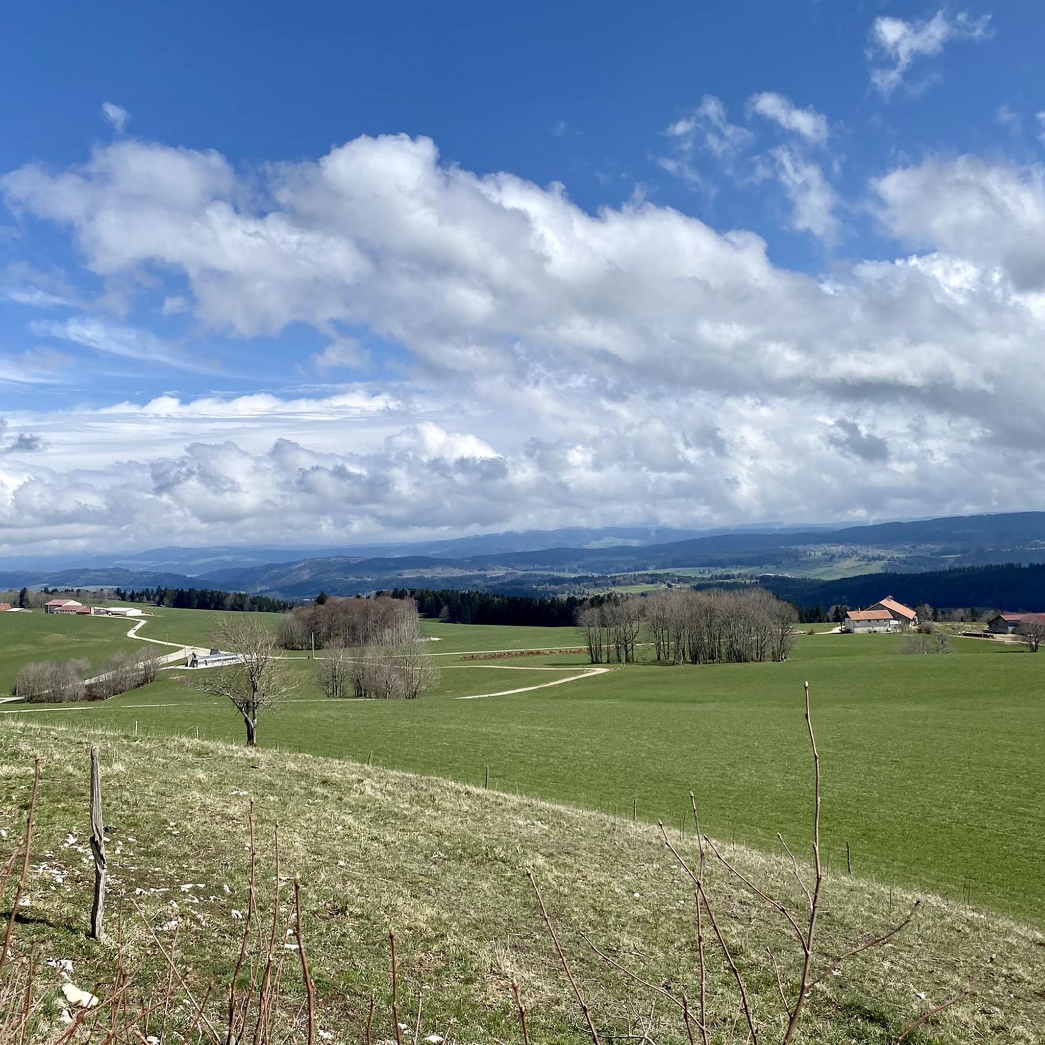
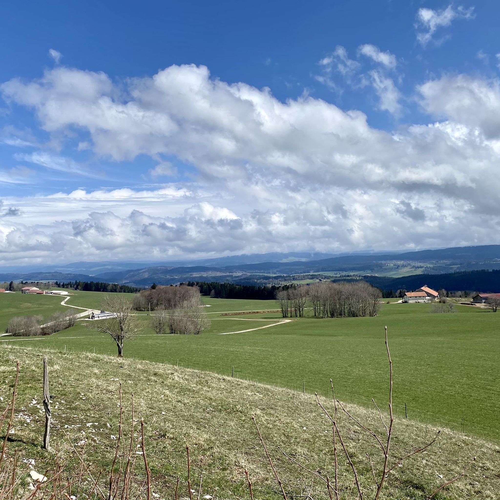
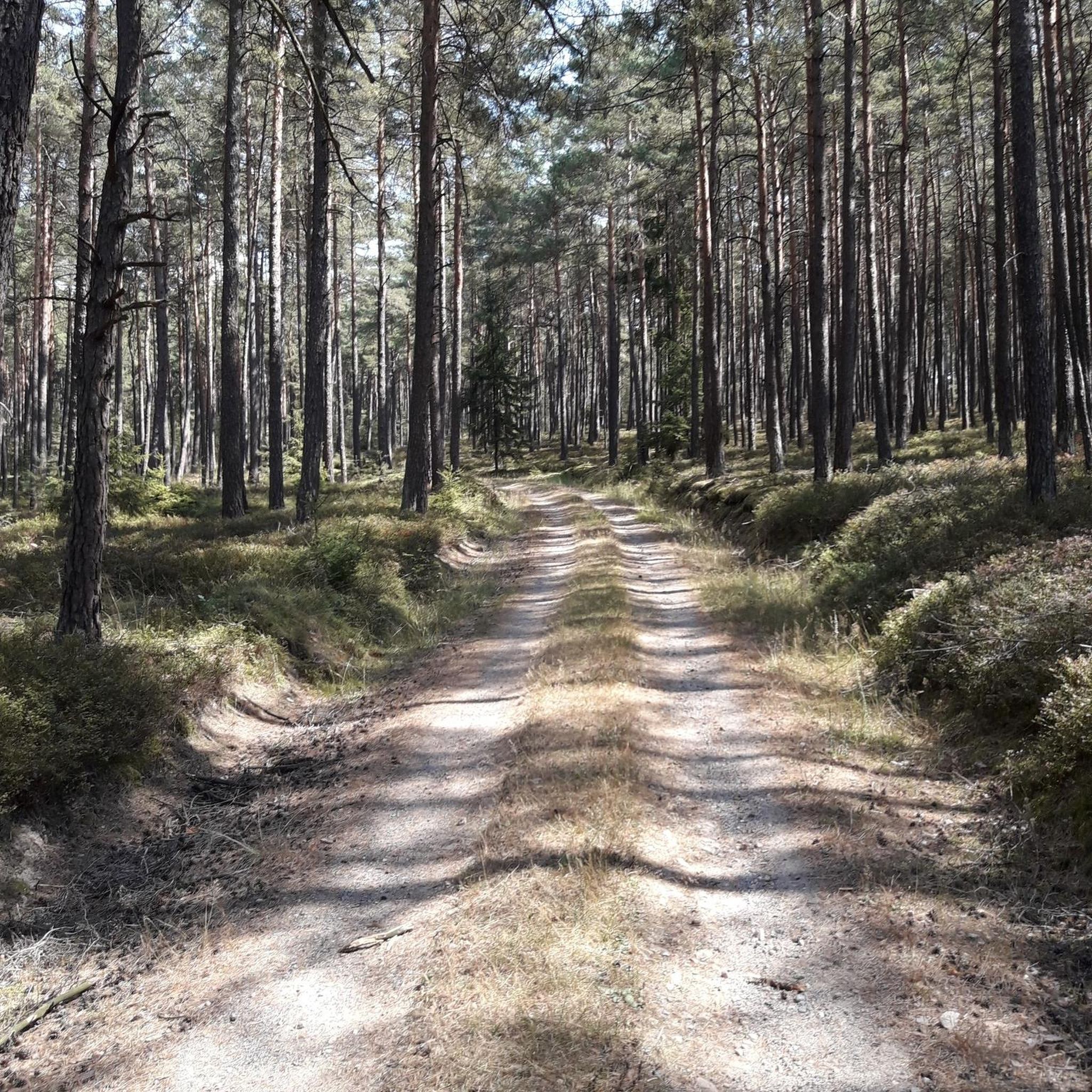
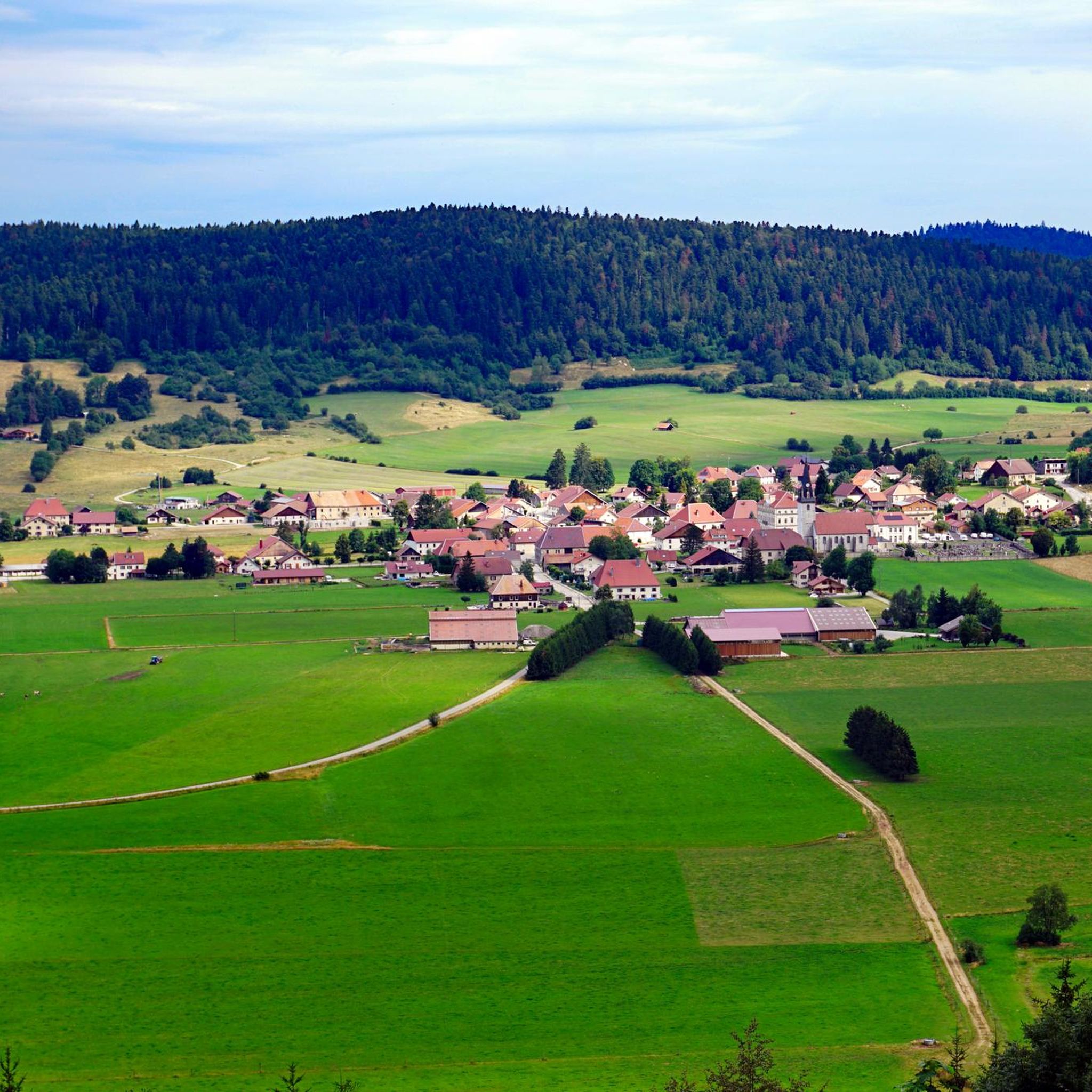
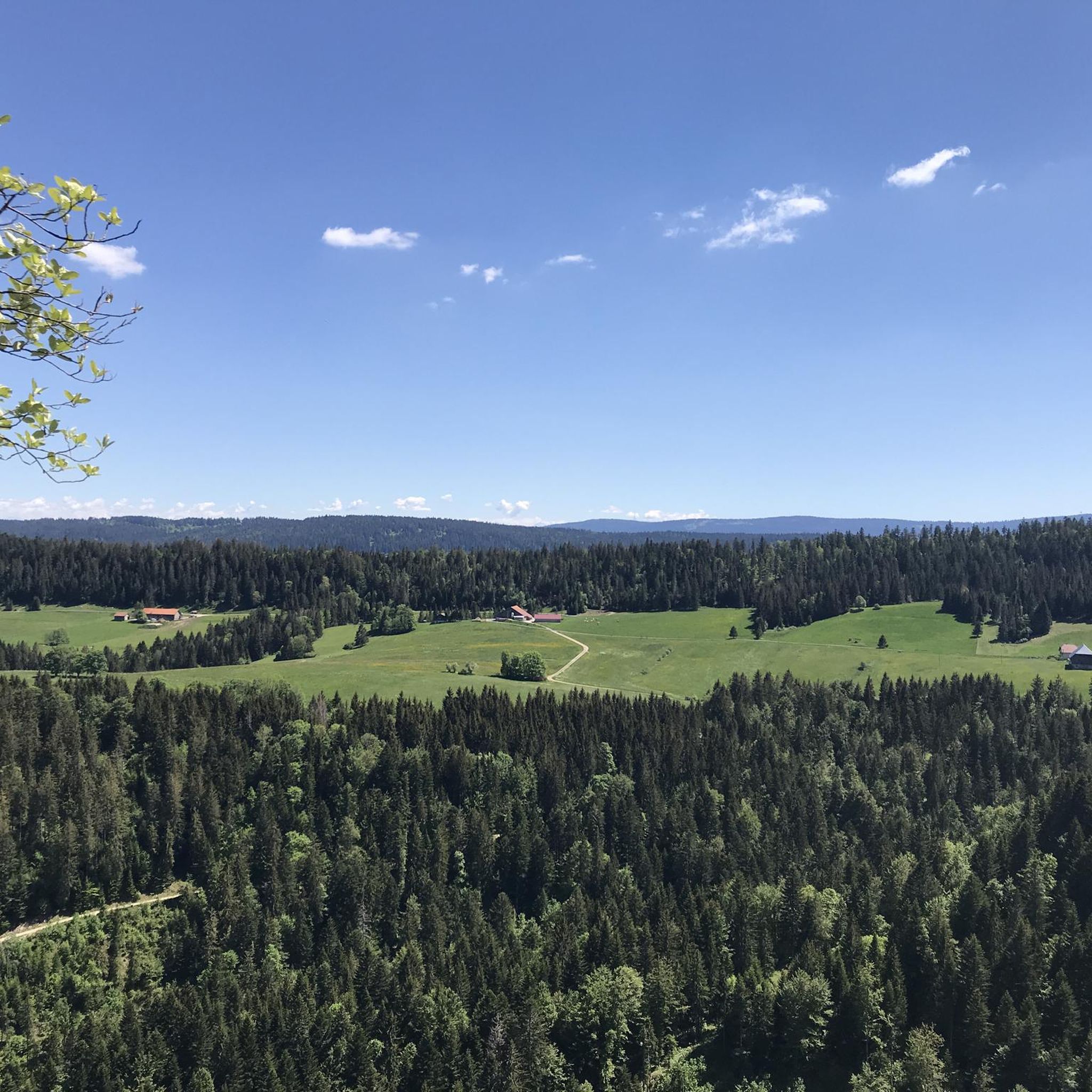
Road cycling routes around Arc-Sous-Cicon are situated within the scenic and topographically diverse Jura Mountains, offering varied landscapes for cyclists. The region is characterized by expansive meadows and fir forests, with elevations ranging from 700 to 800 meters in the village itself. Cyclists can encounter challenging ascents towards peaks like Crêt Monniot, which reaches 1,141 meters, or enjoy rides through valleys influenced by the Doubs River. This area provides a mix of terrain suitable for different road cycling experiences.
Best road cycling routes around Arc-Sous-Cicon
- The most popular road cycling route is Col du Tounet (965 m) – Chemin du Train near Doubs loop from Gilley, a 33.4 miles (53.7 km) trail that takes 2 hours 13 minutes to complete. This moderate route features climbs towards Col du Tounet.
- Another top favourite among local road cyclists is Chemin du Train near Doubs – Col sur le Mont (987 m) loop from Gilley, a difficult 85.6 miles (137.8 km) path. This route includes significant elevation gain, traversing varied terrain towards Col sur le Mont.
- Local road cyclists also love the Papy Gaby's smokehouse – Col du Tounet (965 m) loop from Gilley, a 18.3 miles (29.5 km) trail leading through forested areas and towards Col du Tounet, often completed in about 1 hour 31 minutes.
- Road cycling around Arc-Sous-Cicon is defined by the Jura Mountains' varied topography, including fir forests, open meadows, and ascents to hills like Crêt Monniot. The network offers options for different ability levels, from moderate valley rides to more demanding climbs.
- The routes in Arc-Sous-Cicon are highly rated by the komoot community with an average score of 4.4 stars from over 80 reviews. More than 1,700 road cyclists have used komoot to explore Arc-Sous-Cicon's varied terrain.
Last updated: May 11, 2026
4.6
(12)
154
riders
53.7km
02:13
370m
370m
Moderate road ride. Good fitness required. Mostly well-paved surfaces and easy to ride.
4.3
(3)
54
riders
134km
06:25
1,670m
1,670m
Hard road ride. Very good fitness required. Mostly well-paved surfaces and easy to ride.

Sign up for free
22
riders
40.8km
02:00
500m
500m
Moderate road ride. Good fitness required. Mostly well-paved surfaces and easy to ride.
4.5
(2)
12
riders
24.1km
01:26
610m
610m
Moderate road ride. Good fitness required. Mostly well-paved surfaces and easy to ride.
5.0
(1)
21
riders
116km
05:26
1,320m
1,320m
Hard road ride. Very good fitness required. Mostly well-paved surfaces and easy to ride.
Get access to more routes and recommendations from other explorers.
Sign up for free
Already have an account?
Our route recommendations are based on thousands of hikes, rides, and runs completed by other people on komoot.
Start today with a free account
Your next adventure awaits.
Login or Signup
Tips from the Community

The Syratu waterfall in Mouthier-Haute-Pierre
0
0


Not suitable for children. Very dangerous, but beautiful. Recommended for adults who are not afraid of heights.
0
0


Nestled in the Doubs Valley, Saint-Hippolyte is a charming village in Franche-Comté. With its ancient streets and Romanesque church, it offers a peaceful break by the water, surrounded by the lush green landscapes of the Jura.
1
1

Typo? Needs to be corrected... right?
0
0

Saint-Hippolyte is a French commune with 962 inhabitants in the Haut-Rhin department in the European territorial community of Alsace and the Grand Est region. The municipality is a member of the Communauté de communes du Pays de Ribeauvillé.
3
1

The Cascade de Syratu is an impressive waterfall that cascades over the rocky cliffs of the Baume above Mouthier-Haute-Pierre in the Doubs department. With a total height difference of 230 metres, it is the largest waterfall in the department. The waterfall consists of several levels: The upper part begins with an almost vertical drop of 50 metres from the edge of the plateau at a height of 600 metres. This is followed by a second vertical drop of 32 metres, which brings the water to the level of the road. The lower part of the waterfall extends over a wooded slope and ends at the Loue river, where there are several waterfalls covered with tufa. To get a general view of the waterfall, you should climb up the left bank after crossing the old bridge over the Loue. The middle part of the waterfall is visible from the road that goes up to the gorges. The lower part, with its wild tuff massifs, can be reached on foot via paths that start on either side of the small bridge over the Syratu stream.
7
0
Frequently Asked Questions
How many road cycling routes are available around Arc-Sous-Cicon, and what are their difficulty levels?
Arc-Sous-Cicon offers a wide selection of road cycling routes, with over 110 tours available. These cater to various skill levels, including 4 easy routes, 63 moderate routes, and 43 difficult routes, ensuring options for every cyclist.
Are there challenging road cycling routes with significant elevation gain in the Arc-Sous-Cicon region?
Yes, the region, nestled in the Jura Mountains, features routes with substantial elevation gain. For instance, the difficult route Chemin du Train near Doubs – Col sur le Mont (987 m) loop from Gilley covers 137.8 km with over 1,800 meters of ascent. The ascent to Crêt Monniot, the highest point in the commune at 1,141 meters, also offers a challenging experience with steep slopes and panoramic views.
Can I find circular road cycling routes around Arc-Sous-Cicon?
Many of the road cycling routes in Arc-Sous-Cicon are designed as loops. A popular moderate option is the Col du Tounet (965 m) – Chemin du Train near Doubs loop from Gilley, which is 53.7 km long. Another moderate loop is the Col du Tounet (965 m) loop from Gilley, covering 40.7 km.
What natural landmarks or points of interest can I see along road cycling routes in the area?
The region around Arc-Sous-Cicon is rich in natural beauty. Cyclists can explore highlights such as the Source de la Loue and Source du Pontet, both notable caves. The Gorges de Noailles offer dramatic scenery, and the Cave of the Counterfeiters provides an interesting historical stop. You might also encounter the Renédale Viewpoint for stunning vistas.
When is the best time of year for road cycling in Arc-Sous-Cicon?
The warmer months are generally the best time for road cycling in Arc-Sous-Cicon. During this period, the fir forests and meadows are verdant, and ascents to peaks like Crêt Monniot are more accessible, offering clear views. The Jura Mountains provide a beautiful backdrop for cycling when the weather is mild.
Are there family-friendly road cycling routes in Arc-Sous-Cicon?
While many routes involve varied topography, there are easier and moderate options suitable for families. The region's expansive meadows and tranquil forests offer a scenic and relatively calm environment for cycling. Look for routes designated as 'easy' or 'moderate' to find suitable options.
What do other road cyclists enjoy the most about road cycling in Arc-Sous-Cicon?
The area is highly rated by the komoot community, with an average score of 4.4 stars from over 80 reviews. Reviewers often praise the Jura Mountains' varied topography, including the serene fir forests and open meadows, as well as the challenging ascents to hills like Crêt Monniot, which provide rewarding experiences.
Are there any routes that follow river valleys or offer riverside views?
The broader region is influenced by the Doubs River, which carves out magnificent gorges. While specific routes directly along the most rugged gorges near Arc-Sous-Cicon are not detailed, the general area offers scenic riverside cycling opportunities. The Loue River – Village of Lods loop from Saint-Gorgon-Main is an example of a route that explores a river valley, offering beautiful views.
What kind of landscapes can I expect to see while road cycling around Arc-Sous-Cicon?
Road cycling around Arc-Sous-Cicon offers diverse landscapes. You'll traverse expansive meadows and dense fir forests, characteristic of the Jura Mountains. The terrain varies from relatively flat depressions in valleys to demanding climbs towards peaks like Crêt Monniot, providing panoramic views that can extend to Mont Blanc on clear days.
Are there any shorter road cycling routes for a quick ride?
Yes, for a shorter ride, consider the moderate Papy Gaby's smokehouse – Col du Tounet (965 m) loop from Gilley. This route is 29.5 km long and typically takes about 1 hour 31 minutes to complete, leading through forested areas and towards Col du Tounet.
Is Arc-Sous-Cicon a good base for exploring the wider Jura Mountains by road bike?
Absolutely. Arc-Sous-Cicon's location within the Jura Mountains positions it perfectly as a base. The Jura is renowned for cycling, offering a vast network of roads from moderate valley rides to challenging ascents. While not directly on major routes like the Grande Traversée du Jura, its proximity allows for access to extensions and connecting paths, providing a quieter alternative to busier cycling regions.
Most popular routes around Arc-Sous-Cicon
Most popular attractions around Arc-Sous-Cicon

Get inspired with the komoot mobile app


Explore more
Browse the best Road cycling routes in other regions.
