The 20 Most Amazing Peaks around Belvédère
Best mountain peaks around Belvédère are found in the Alpes-Maritimes department of southeastern France, serving as a gateway to the Mercantour National Park. This region, perched at an altitude of 838 meters, offers access to a diverse mountainous landscape with peaks exceeding 3,000 meters. It is situated at the entrance of the Gordolasque valley, within a protected area known for its rich biodiversity. The area provides a wide range of itineraries, transitioning from Mediterranean coast to high alpine environments.
Best…
Last updated: July 20, 2026
Cime du Diable
Highlight • Summit
Translated by Google •
Tip by

Mont Pépoiri
Highlight • Summit
On a clear day, you will have an incredible view of …
Translated by Google •
Tip by

Sign up now to discover places like this
Get recommendations on the best single tracks, peaks, & plenty of other exciting outdoor places.
Sign up for free
Ouvrage de la Forca Ruins
Highlight • Historical Site
Translated by Google •
Tip by
Rocca of the Abyss
Highlight • Summit
Translated by Google •
Tip by

Brec d'Utelle
Highlight • Summit
On a clear day, it offers an unforgettable panorama of the Mercantour, the Côte d'Azur and the surrounding valleys (Var, …
Translated by Google •
Tip by

Sign up for free to discover even more peaks around Belvédère.
Sign up for free
Already have an account?
Start today with a free account
Your next adventure awaits.
Login or Signup
Popular around Belvédère
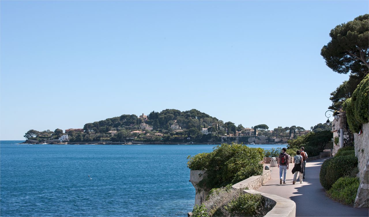
Côte d'Azur panoramas – hikes between land and sea around Nice

Crossing the Mercantour National Park – GR 52
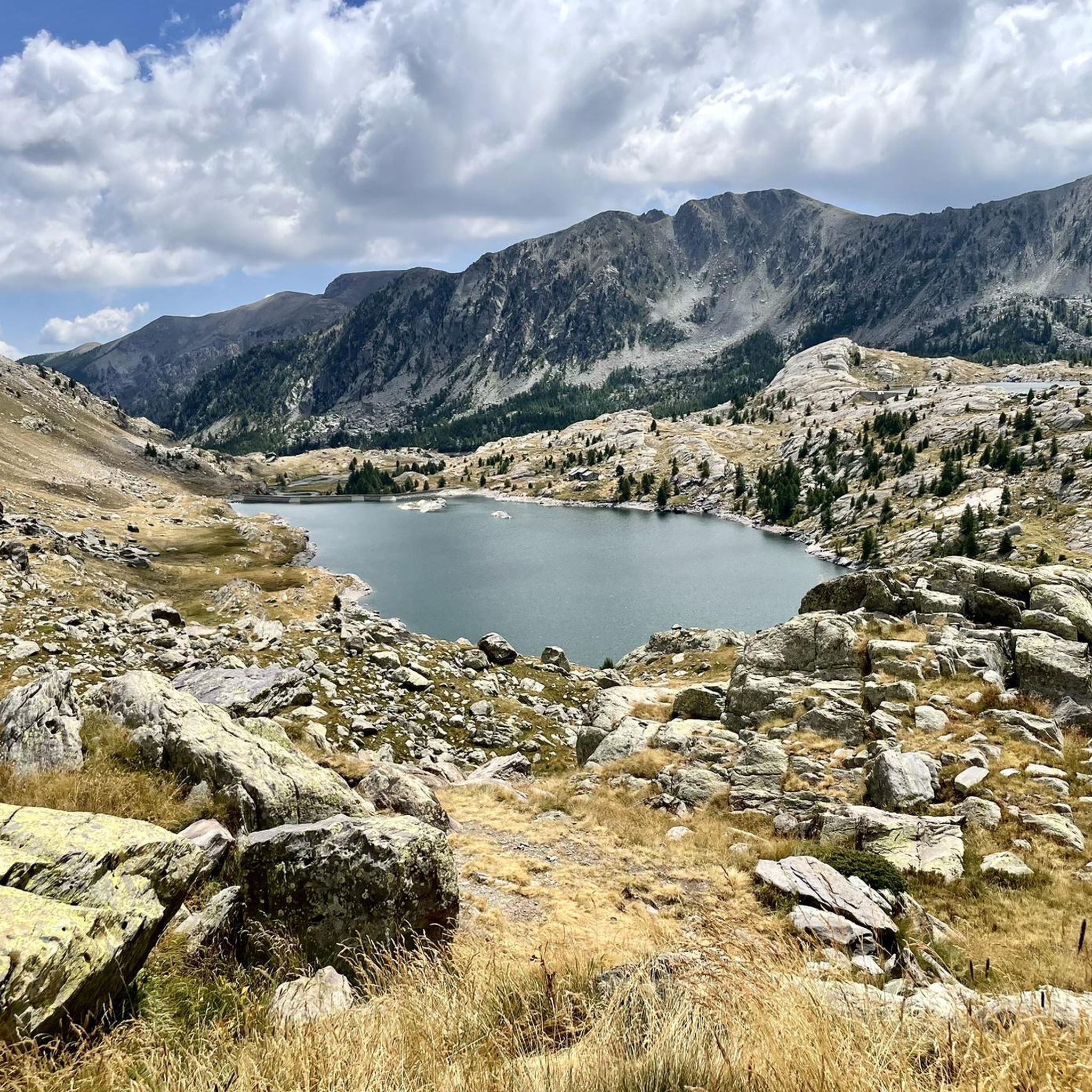
Hiking around Belvédère
Road Cycling Routes around Belvédère
Cycling around Belvédère
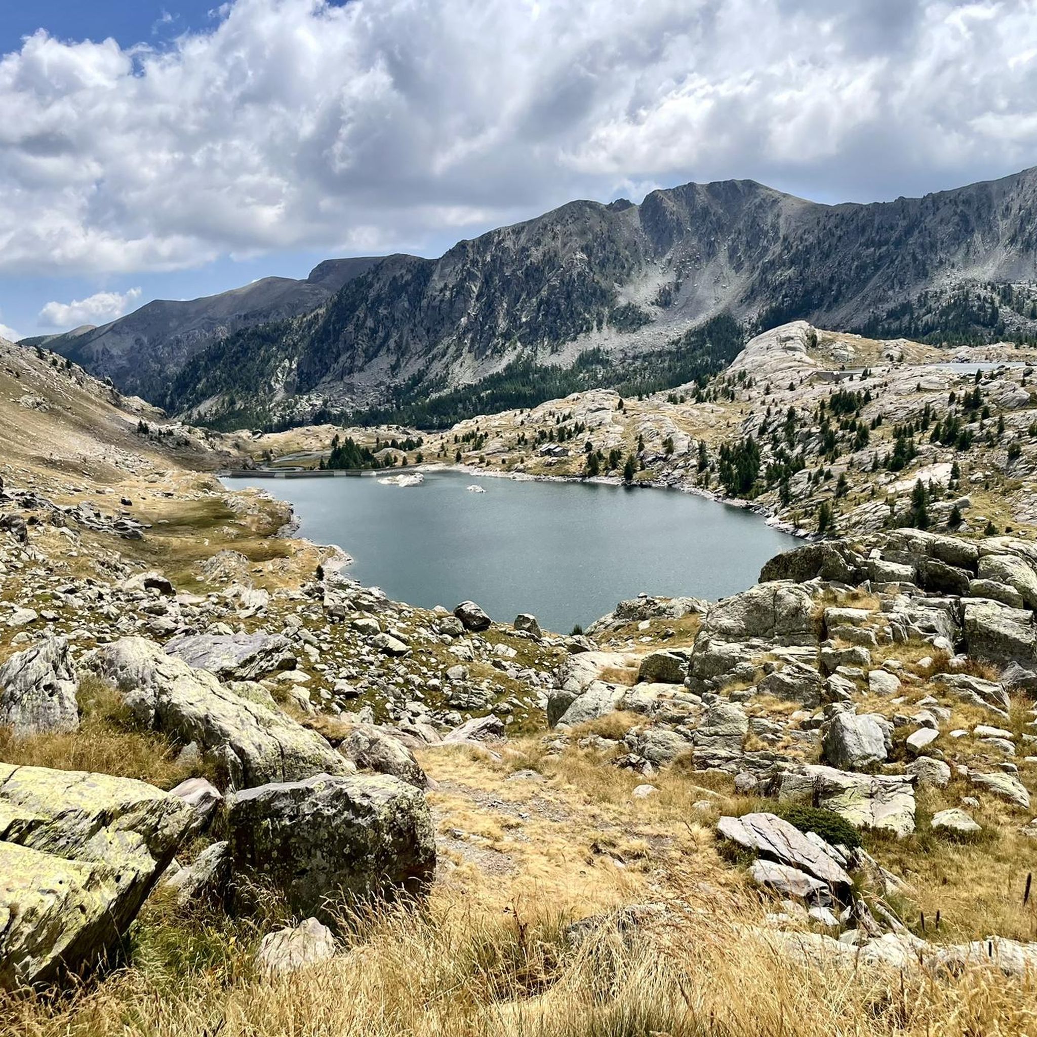
Running Trails around Belvédère
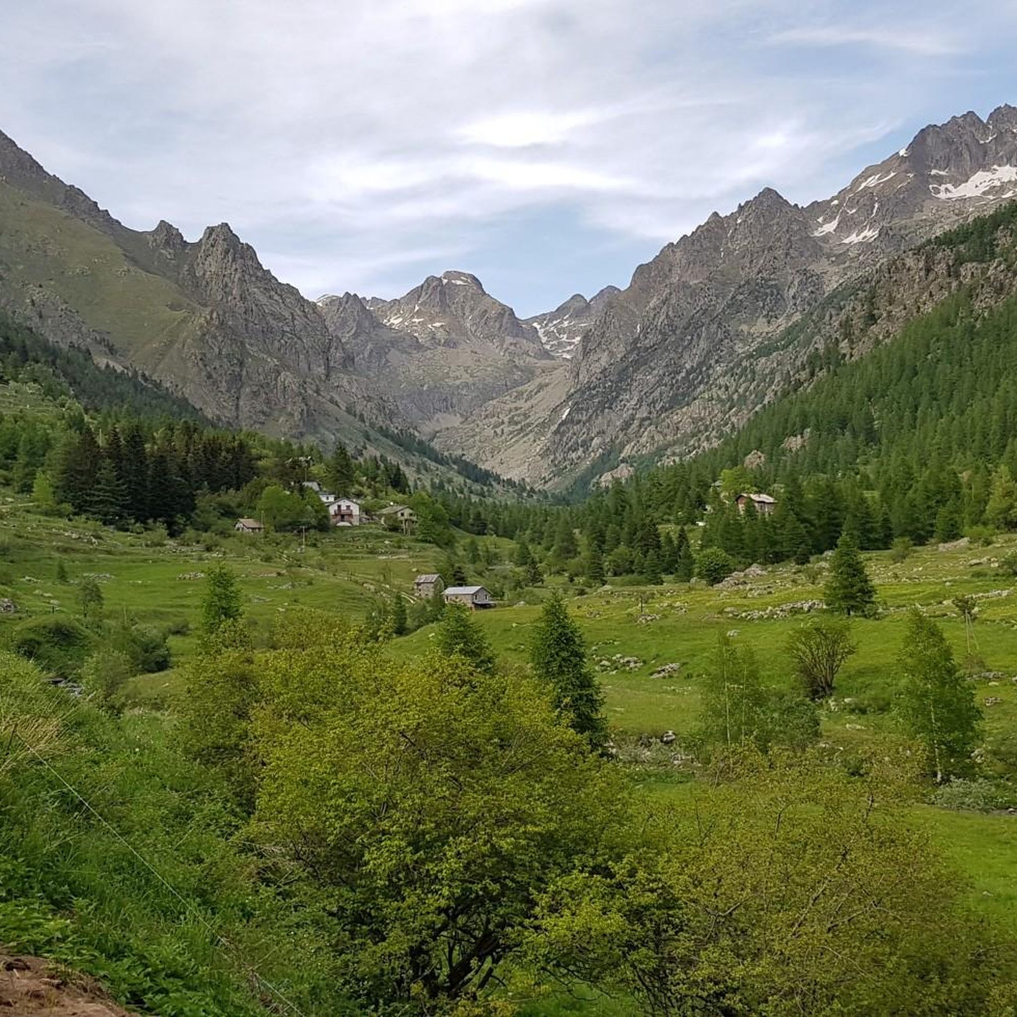
MTB Trails around Belvédère
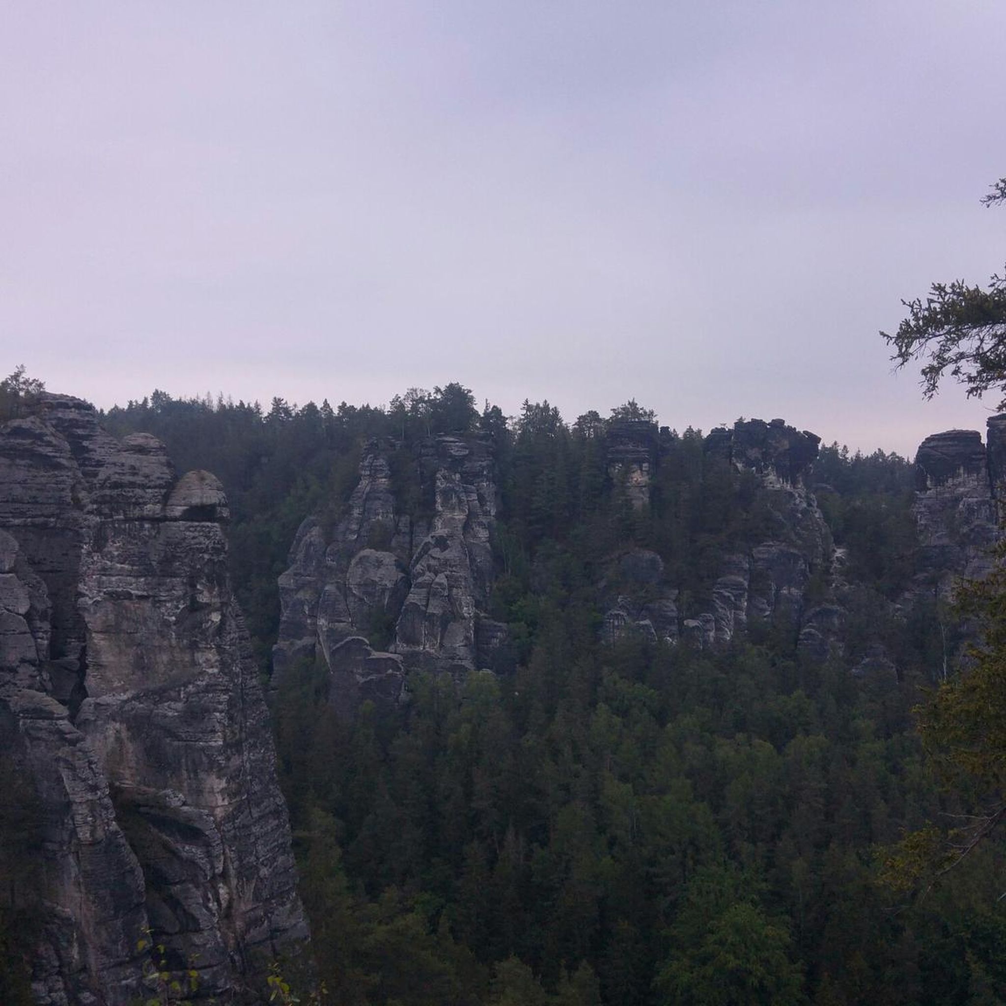
Gravel biking around Belvédère
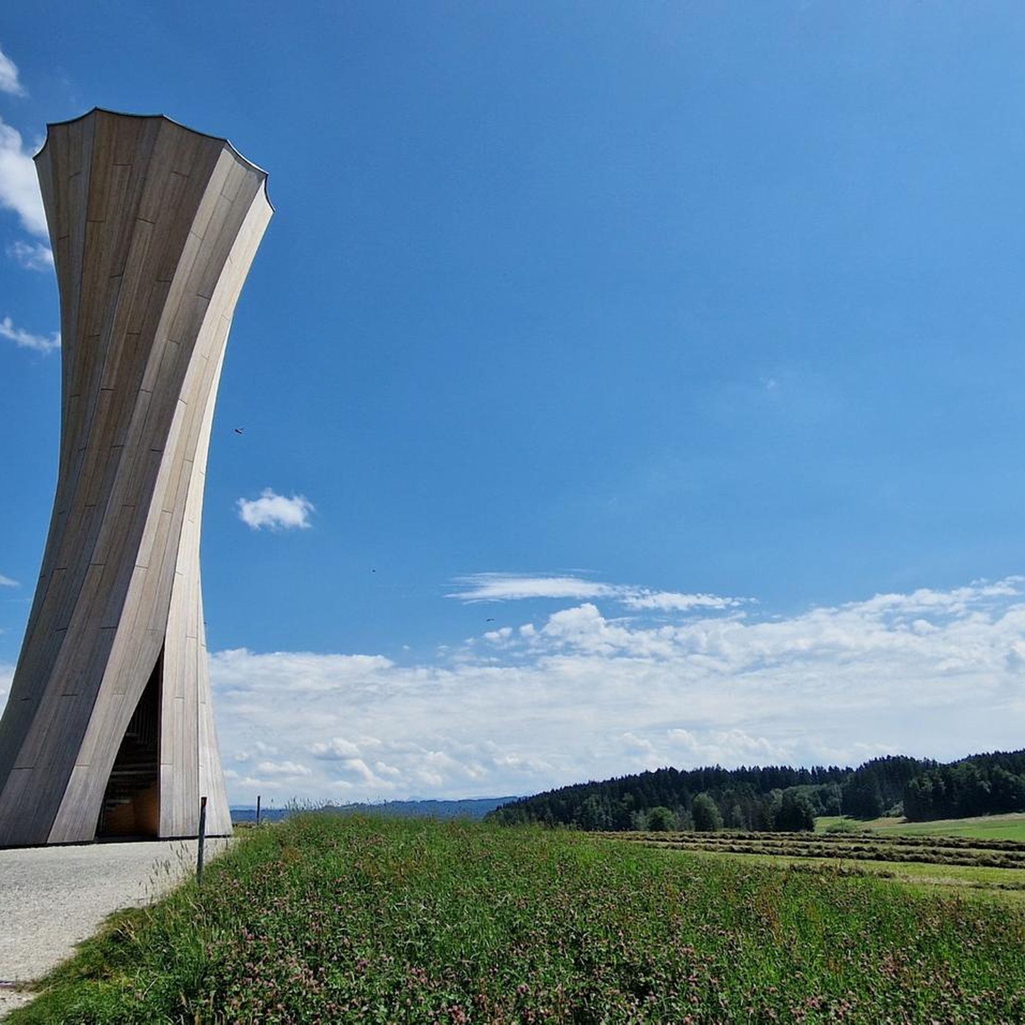
Mountain Hikes around Belvédère


Tips from the Community

From the valley, you have to climb 1,700 meters of elevation gain to reach Mount Pépoiri. At 2,674 meters above sea level, the views of the Mercantour ridges are the greatest reward. The surrounding trails are neither too technical nor too rough, making it a perfect playground for trail runners.
1
0

The Brec d'Utelle is a summit culminating at 1,604 meters. On a clear day, it offers an unforgettable panorama of the Mercantour, the Côte d'Azur and the surrounding valleys (Var, Tinée, Vésubie). Note that "brec", a name of Gallic origin, means "point of rock", "peak", or "steep place".
0
0

The work and the barracks of La Forca are now ruins. They were built between January 1887 and November 1891 at a time of border tension. Its purpose was to monitor the Roya valley in order to control a possible invasion of troops from Italy. They come to replace an old Sardinian redoubt. The two buildings are located at the southern summit of the Massif de L'Authion at 2,078 meters above sea level. Besides this historic site, the climb to the top is worth doing just for the magnificent views.
1
0
The detour via Mont Pépoiri is clearly worth the effort. The trail to the top is not too difficult. On a clear day, you will have an incredible view of the crests of the Mercantour massif. The look sometimes goes as far as Corsica.
0
0

Nice tour with a view worth seeing at the end. The route leads partly over rocks and signposts are not available everywhere. A hike with a map on your cell phone is recommended, cairns on the route help with orientation. A running time of 6 hours is realistic for a good fitness level. If you are lucky you can see chamois and golden eagles on this route. Still accessible at the beginning of October.
2
0

The ascent to the Cime du Diable is definitely worthwhile because of the good all-round visibility. Now in July, the ascent is recommended, preferably in the morning when the sky is clear. The climb is quite steep at the end, but not too long. Of course there is cell phone reception at the summit, which is rarely the case elsewhere. Note that trekking poles are not allowed in this area unless equipped with rubber stoppers. It is also not allowed to move off the paths. Corresponding small signs give precise information from place to place about what is allowed and what is not.
2
0

Highest peak in the Vermenagna Valley! There are no water points along the path from the Baita le Marmotte onwards; the path is very open, panoramic and full of history: in fact, you pass through a bunker, the Laghetto dell'Abisso, Forte Pernante and Forte Giaura at the foot of the Rocca. The cross is located on the forerunner, while if you want the real top you have to make a small horizontal exposed stretch of about ten meters.
3
0

A nice scenic route between the Italian and French border
0
0
Frequently Asked Questions
What are some of the most popular mountain peaks to explore around Belvédère?
The region around Belvédère, particularly within the Mercantour National Park, offers a variety of stunning peaks. Highly regarded for its panoramic views is Rocca of the Abyss, known for its historical elements and views. Another must-see is Brec d'Utelle, offering expansive vistas of the Mercantour and the Côte d'Azur. For those seeking a challenge, Mont Pépoiri provides incredible views of the Mercantour massif, sometimes extending to Corsica.
Are there any challenging mountain peaks for experienced hikers near Belvédère?
Yes, several peaks offer a significant challenge. Mont Pépoiri requires a substantial elevation gain of 1,700 meters from the valley, rewarding hikers with magnificent views at 2,674 meters. Another demanding option is Mont Capelet Inférieur, a difficult ~5h 35m hike offering exceptional panoramic views of 3000-meter peaks and even the Baie des Anges on clear days. For very fit hikers, the Mont Ponset and Cime de Paranova circuit is a very difficult, extensive trek with 2,005m of elevation gain.
What kind of historical sites can be found among the peaks near Belvédère?
The region is rich in history. The Rocca of the Abyss trail is steeped in history, passing through a bunker, the Laghetto dell'Abisso, Forte Pernante, and Forte Giaura. Additionally, the Ouvrage de la Forca Ruins, built between 1887 and 1891, are located at the southern summit of the Massif de L'Authion. These ruins offer both historical insight into border tensions and magnificent views.
Can I find circular hiking routes around the Belvédère mountain range?
Yes, the area around Belvédère offers several circular hiking opportunities. The Cirque de Férisson and Cime de la Valette de Prals hike, departing from the Férisson cattle shed, is a circular route providing superb views of both the Mediterranean Sea and the Mercantour peaks. While largely accessible, a section is off-trail, requiring good navigation skills.
What is the best time of year to hike the mountains around Belvédère?
The best time largely depends on the specific peak and your experience. For many high-altitude peaks like Cime du Diable, summer (e.g., July) is recommended for clear skies and good all-round visibility. Early October can still be accessible for some routes, but conditions can change. Winter hiking is possible but requires specific gear like crampons and ice axes, and routes like Aiguille du Belvédère are often used as training grounds for mountaineers in colder conditions.
Are there opportunities for wildlife spotting on mountain hikes near Belvédère?
Yes, the Mercantour National Park, where Belvédère is nestled, is a natural sanctuary with 10,000 protected plant and animal species, making it France's richest natural area in terms of biodiversity. Hikers on routes like Cime du Diable have reported seeing chamois and golden eagles, especially in the early morning.
What other outdoor activities can I do near the mountain peaks around Belvédère?
Beyond hiking, the region offers a wide range of outdoor activities. You can find numerous running trails, such as the 'Refuge de Nice loop' or 'Montjoya Peak – Cime de la Vallette loop', which you can explore further on the Running Trails around Belvédère guide. For cycling enthusiasts, there are gravel biking routes like the 'Lower Peirafica – Forte Margheria loop' or 'Col de la Colmiane – Saint-Martin Pass loop', detailed in the Gravel biking around Belvédère guide. Mountain biking is also popular, with trails such as the 'Crête des Terres Rouges en boucle' available on the MTB Trails around Belvédère guide. Climbing on Gordolasque granites is another option.
What makes the Aiguille du Belvédère in Haute-Savoie a notable peak?
The Aiguille du Belvédère, located northwest of Chamonix in Haute-Savoie, stands at 2,965 meters and is the highest peak in the Aiguilles Rouges range. It's renowned for its spectacular panoramic views of the Mont Blanc massif and the Bernese Alps. It's also a popular climbing destination, particularly its steep 300-meter South-East face, which features high-quality rock and technical routes. It serves as an excellent training ground for mountaineers preparing for more challenging ascents in the Mont Blanc massif.
Are there any specific rules or restrictions to be aware of when hiking in the Mercantour National Park?
Yes, the Mercantour National Park is a protected area with specific regulations to preserve its biodiversity. For instance, trekking poles are generally not allowed unless equipped with rubber stoppers. It is also important to stay on marked paths, as moving off-trail is often prohibited. Small signs in specific areas provide precise information on what is permitted and what is not.
What kind of views can I expect from the peaks around Belvédère?
The views from the peaks around Belvédère are incredibly diverse and often breathtaking. From summits like Mont Capelet Inférieur, you can admire 3000-meter peaks such as Gélas, Malédie, and Clapier, along with sweeping vistas of the Gordolasque valley, extending to the Baie des Anges in Antibes on clear days. Brec d'Utelle offers an unforgettable panorama of the Mercantour, the Côte d'Azur, and surrounding valleys. Even historical sites like the Ouvrage de la Forca Ruins provide magnificent views from their elevated positions.
What is the significance of the Mercantour National Park to the Belvédère region?
Belvédère is situated at the entrance of the Gordolasque valley, right on the edge of the Mercantour National Park. This park is a crucial natural sanctuary, recognized as France's richest natural area in terms of biodiversity, home to 10,000 protected plant and animal species. Its presence means the region offers a vast array of mountain peaks and hiking opportunities within a protected, stunning environment, transitioning uniquely from Mediterranean coast to high alpine landscapes.
What should I wear for hiking the peaks around Belvédère in summer?
For summer hiking in the Belvédère peaks, especially in the Mercantour National Park, it's advisable to wear appropriate layers. Even in summer, mountain weather can be unpredictable. Lightweight, breathable clothing is essential, along with sturdy hiking boots. Given the challenging terrain of some peaks, trekking poles (with rubber stoppers if in a protected area) can be beneficial. Always carry water, sun protection, and a map or GPS device, as some routes may have unmarked sections.
Most popular routes around Belvédère
Most popular attractions around Belvédère

Get inspired with the komoot mobile app


Explore more
See even more amazing summits around Belvédère with these guides:
