The best road cycling routes around Saint-Martin-De-Vaulserre
4.6
(228)
4,767
riders
105
rides
Road cycling routes around Saint-Martin-De-Vaulserre traverse a landscape of rolling countryside and forested paths in the Isère department. The area features small roads and varied terrain, offering both gentle stretches and ascents. Cyclists encounter views of surrounding massifs, including Mont du Chat, Épine, and Chartreuse, alongside the Guiers valley and pre-Alpine massifs. The region is characterized by its blend of rural scenery and distant mountain backdrops.
Best road cycling routes around Saint-Martin-De-Vaulserre
- The most popular road cycling route is Col…
Last updated: October 5, 2026
4.5
(17)
287
riders
Moderate road ride. Good fitness required. Mostly well-paved surfaces and easy to ride.
4.0
(1)
29
riders
Moderate road ride. Good fitness required. Mostly well-paved surfaces and easy to ride.

23
riders
75.2km
04:11
1,520m
1,520m
Hard road ride. Very good fitness required. Some segments of this route may be unpaved and difficult to ride.
21
riders
150km
07:45
2,290m
2,290m
Hard road ride. Very good fitness required. Mostly well-paved surfaces and easy to ride.
4.3
(3)
34
riders
38.4km
01:46
380m
380m
Moderate road ride. Good fitness required. Mostly well-paved surfaces and easy to ride.
Get access to more routes and recommendations from other explorers.
Already have an account?
Our route recommendations are based on thousands of hikes, rides, and runs completed by other people on komoot.
Start today with a free account
Your next adventure awaits.
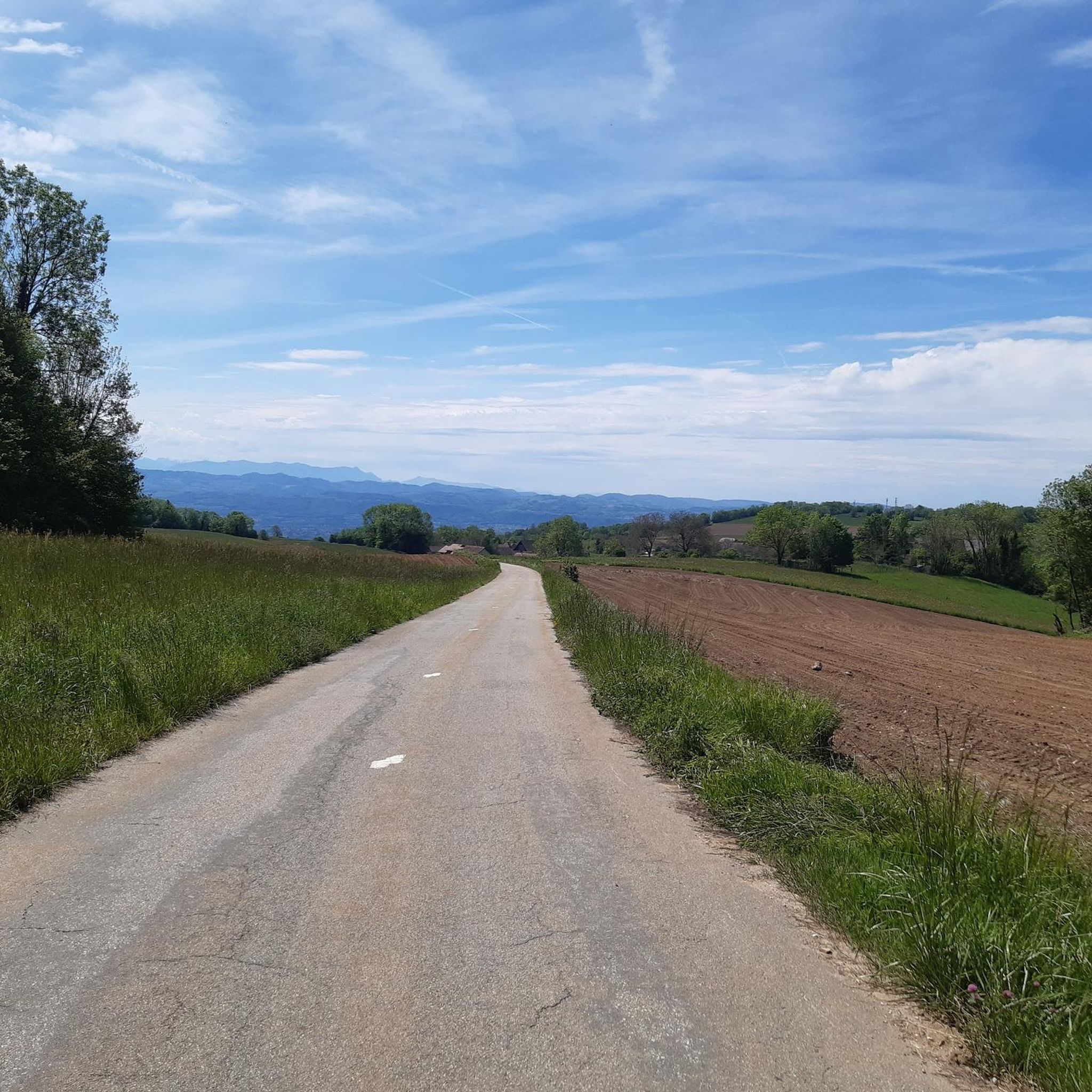
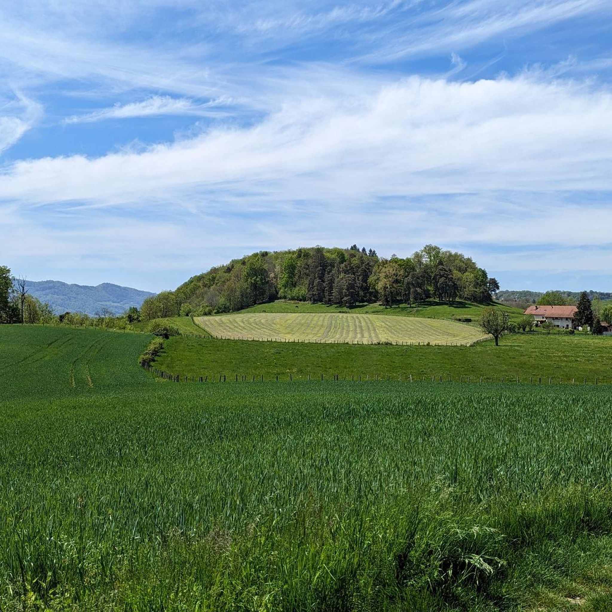
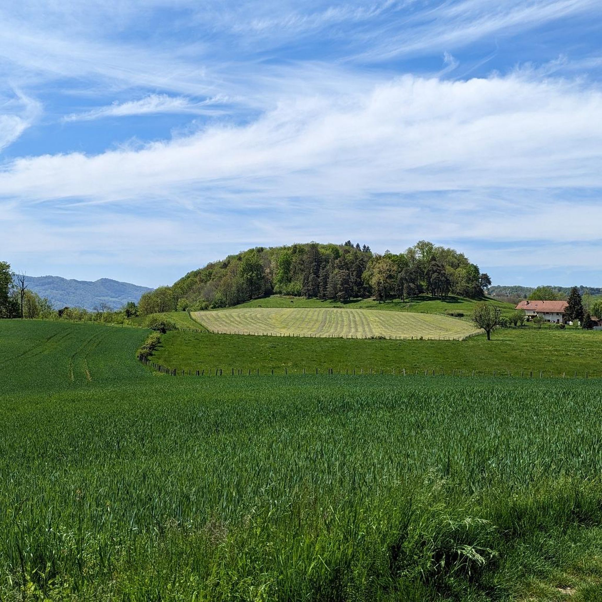

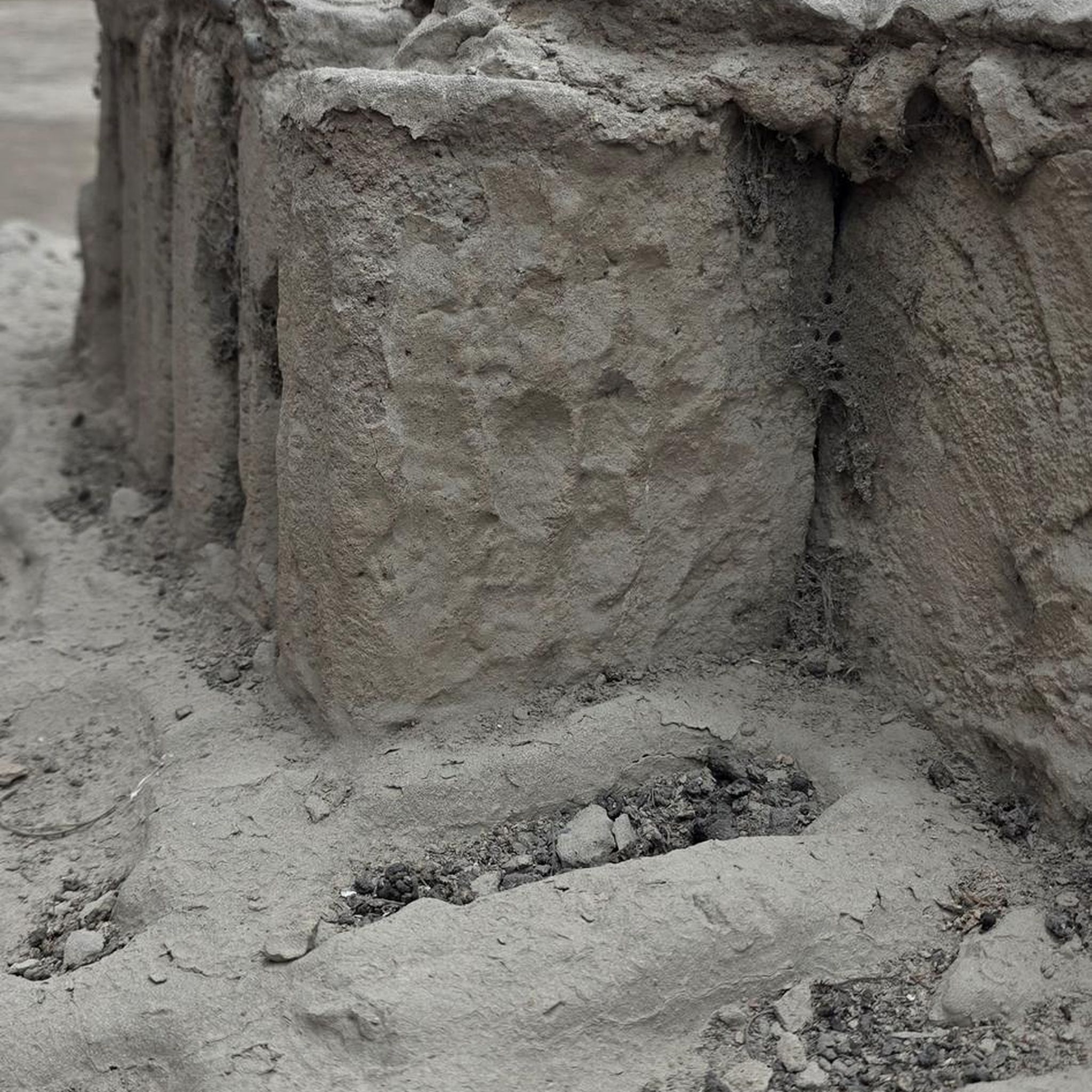
Tips from the Community

The trail runs along the Guiers river to its confluence with the Rhône, on the edge of Savoie.
0
0
For a long time, this bridge marked the political border between the Kingdom of France (Dauphiné side) and the States of Savoy. In 1822, a border stone (stone no. 5) had been set in its center to demarcate the two territories. This historic stone has since been moved to the Place des Tilleuls in the village, where it serves as a fountain.
0
0
A 14 km greenway allows for a stroll along the eastern shore. The complete circuit of the lake on foot or by mountain bike is a route of about 29 km through the surrounding hills.
0
0
A 14 km greenway allows for walks on the eastern bank. The complete circuit of the lake on foot or by mountain bike is a route of about 29 km through the surrounding hills.
0
0

Junction to Porte or to Cucheron. Beautiful views.
2
0
Gorge of the Guiers Mort, great landscape.
2
0
Great landscape, beautiful rock.
2
0
Great landscape, easy climb, quite a lot of traffic.
2
0
Frequently Asked Questions
What kind of terrain can I expect on road cycling routes around Saint-Martin-De-Vaulserre?
The region offers a varied landscape, characterized by rolling countryside, forested paths, and small roads. You'll find a mix of gentle stretches and more challenging ascents, with panoramic views of surrounding massifs like Mont du Chat, Épine, and Chartreuse, as well as the Guiers valley.
How many road cycling routes are available in the Saint-Martin-De-Vaulserre area?
There are over 100 road cycling routes around Saint-Martin-De-Vaulserre. These include 10 easy routes, 66 moderate routes, and 31 difficult routes, catering to various skill levels.
Are there any routes suitable for beginners or those looking for an easier ride?
Yes, there are 10 easy road cycling routes in the area. For a moderate option that offers scenic views without extreme difficulty, consider the Lake Paladru – Lac de Paladru loop from Saint-Bueil, which covers about 60 km with around 500 meters of elevation gain.
What are some challenging road cycling routes for experienced cyclists?
For a significant challenge, the Gorges du Guiers Mort – Granier Pass loop from Saint-Béron - La Bridoire is a difficult route spanning over 128 km with more than 3500 meters of elevation gain. Another demanding option is the Col du Cucheron (1,139 m) – Gorges du Guiers Mort loop from Le Pont-de-Beauvoisin, which is over 90 km long with about 2075 meters of climbing.
What natural features or landmarks can I see along the road cycling routes?
Many routes offer views of the Chartreuse massif, the Guiers valley, and glimpses of the pre-Alpine massifs. You might also encounter traditional adobe houses. Notable natural attractions include the Grenant Stream and the Waterfalls of the Ruisseau de la Pissoire. The Gorges of the Grotte de Saint-Christophe are also a significant natural monument in the vicinity.
Are there any historical points of interest to explore while cycling?
Yes, the area features several historical points. You can pass by the Old Saint-Martin Bridge or discover the Dolmen de l'Antillière. The region also boasts the Château de Vaulserre, an 18th-century redesigned fortified house, and the Sacré-Cœur statue, which offers expansive valley views.
What do other cyclists say about road cycling in Saint-Martin-De-Vaulserre?
The road cycling routes in Saint-Martin-De-Vaulserre are highly rated by the komoot community, with an average score of 4.5 stars from over 200 reviews. Cyclists often praise the blend of serene countryside, panoramic views, and the network of small roads that make for enjoyable rides.
Are there any routes that feature lakes or water views?
Yes, the Lake Paladru – Lac de Paladru loop from Saint-Bueil offers beautiful views of Lake Paladru and the surrounding countryside. Another route, The Savoyard Antilles – View of Lake Aiguebelette loop from Le Pont-de-Beauvoisin, provides vistas of Lake Aiguebelette.
What is the best time of year to go road cycling in Saint-Martin-De-Vaulserre?
The region is ideal for cycling during spring, summer, and early autumn. These seasons offer pleasant weather conditions for exploring the rolling countryside and forested paths, allowing for clear views of the surrounding massifs.
Are there any circular road cycling routes available?
Many of the routes in the area are designed as loops, allowing you to start and finish in the same location. Examples include the Col de la Cluse – Gorges du Guiers Vif loop from Saint-Béron - La Bridoire and the Lake Paladru – Lac de Paladru loop from Saint-Bueil.
Where can I find more information about local attractions like the Sacré-Cœur?
The Sacré-Cœur, offering expansive views, is a significant point of interest. You can find more details about it and the surrounding prairies on the local tourism website: Sacre-Coeur et Prairies Vallonnées.
Most popular routes around Saint-Martin-De-Vaulserre
Most popular attractions around Saint-Martin-De-Vaulserre

Get inspired with the komoot mobile app


Explore more
Browse the best Road cycling routes in other regions.
