Top 6 Mountain Passes around Saint-Étienne-De-Crossey
Best mountain passes around Saint-Étienne-De-Crossey offer routes through hilly terrain rather than high-altitude mountains. The area is situated in a depression surrounded by hills, including the Montagne de Ratz to the east and the hills of Vouise - Tolvon to the west. These routes often feature minor cols and passages through forested landscapes. The region provides diverse terrain for outdoor activities, characterized by its natural features and local pathways.
Best mountain passes around Saint-Étienne-De-Crossey
- The most popular mountain pass is…
Last updated: May 14, 2026
Col de la Charmette
Highlight • Mountain Pass
Tip by

Col des Mille Martyrs
Highlight • Mountain Pass
Translated by Google •
Tip by

Sign up now to discover places like this
Get recommendations on the best single tracks, peaks, & plenty of other exciting outdoor places.
Sign up for free
Placette Pass
Highlight • Mountain Pass
Translated by Google •
Tip by

Charmette Pass
Highlight (Segment) • Mountain Pass
Translated by Google •
Tip by
Col d'Hurtières
Highlight • Mountain Pass
Translated by Google •
Tip by

Sign up for free to discover even more mountain passes around Saint-Étienne-De-Crossey.
Sign up for free
Already have an account?
Start today with a free account
Your next adventure awaits.
Login or Signup
Popular around Saint-Étienne-De-Crossey

‘La Joyeuse Vadrouille’ – two months cycling with the family
Road Cycling Routes around Saint-Étienne-De-Crossey
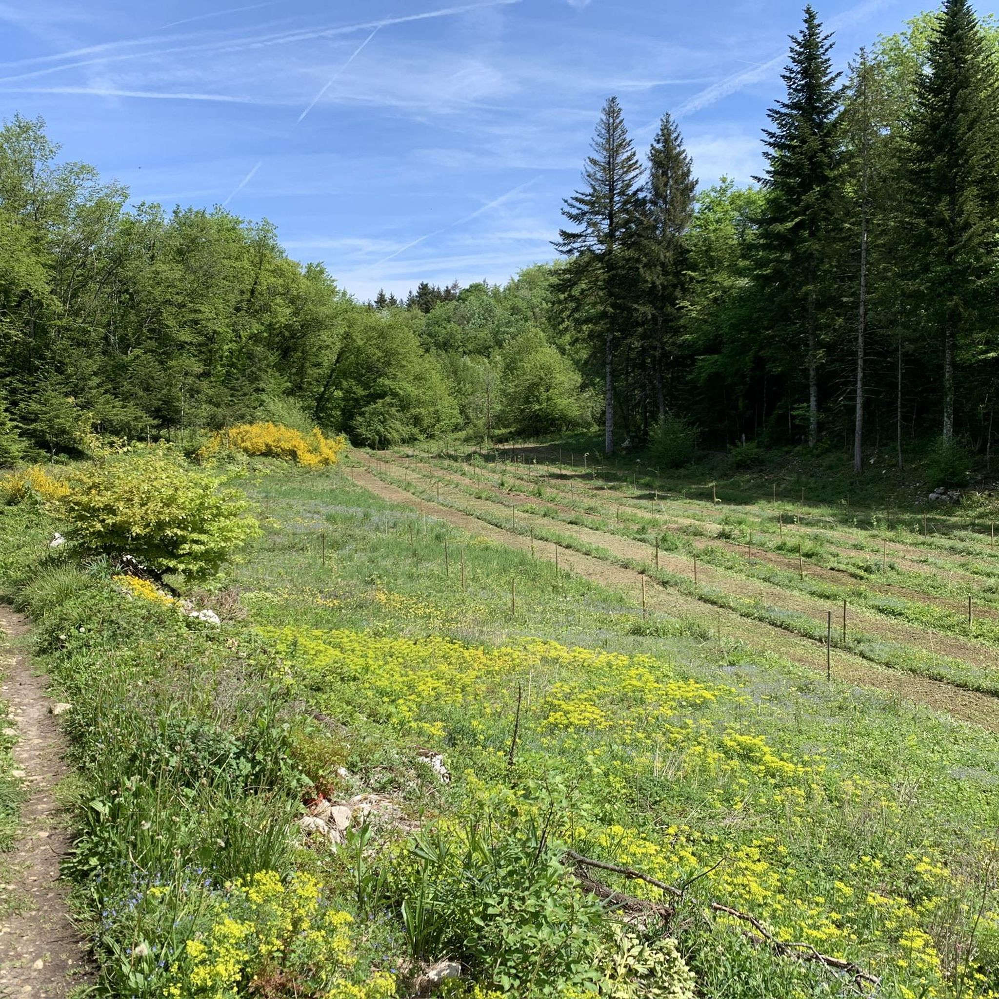
Hiking around Saint-Étienne-De-Crossey
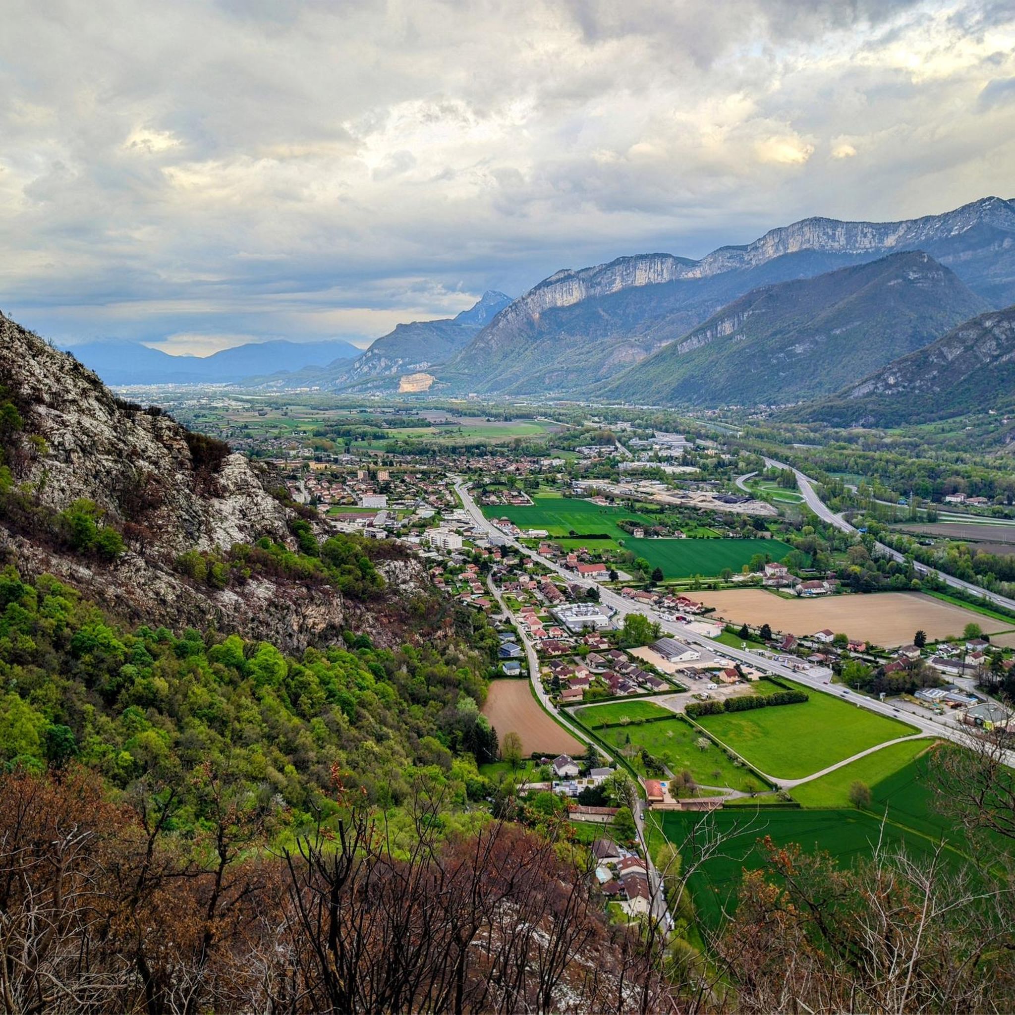
Cycling around Saint-Étienne-De-Crossey
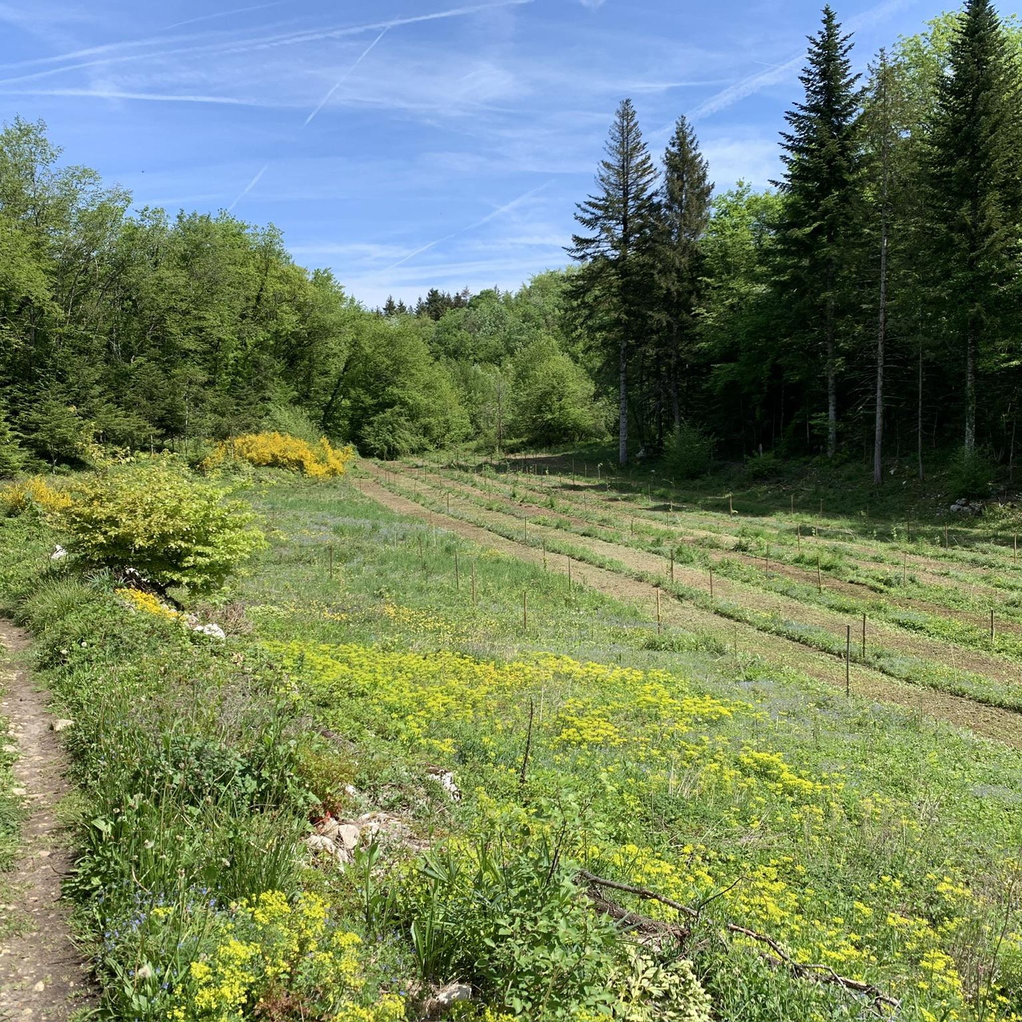
MTB Trails around Saint-Étienne-De-Crossey
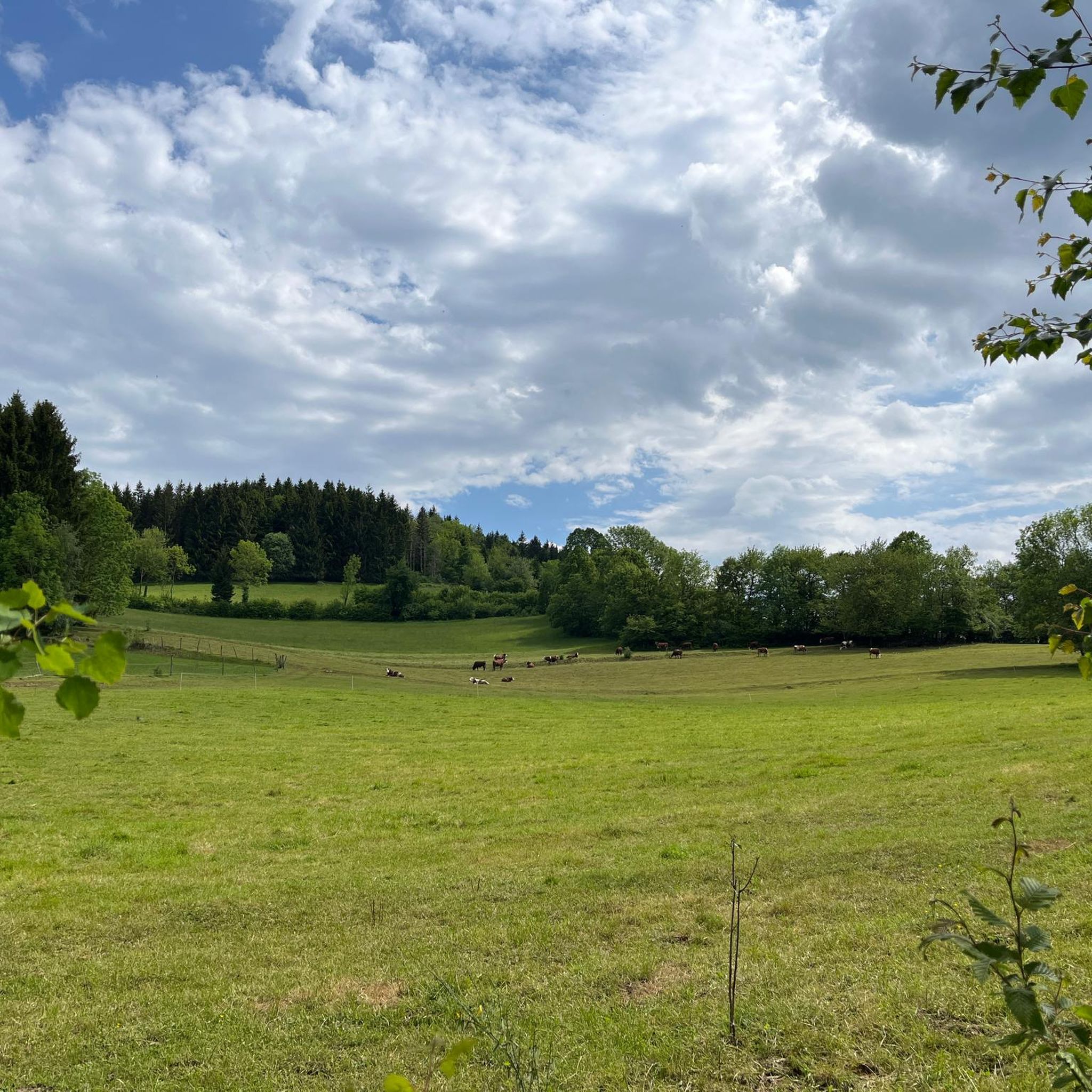
Running Trails around Saint-Étienne-De-Crossey
Gravel biking around Saint-Étienne-De-Crossey
Other adventures around Saint-Étienne-De-Crossey

Tips from the Community

The approach from the south is very nice, the descent to the north via the forest road is not allowed, but with great caution and pushing in tunnels possible
0
0

Very pleasant pass to climb, not too steep a slope, well marked all the way.
2
1

End of the climb and arrival on the plateau
0
0

Arriving from Cessieu, I made a small detour via Voissant then the remaining 4 km to the Col des Mille Martyrs. Easy climb, no cars on this early Sunday afternoon and a very beautiful forest upon arrival. Bucolic viewpoints as a bonus during the climb. The descent to Saint-Geoire-en-Valdaine is perfect. Super rolling surface and moderate slope allow you to reach 50 km/h effortlessly. Paradise exists, it is in Chartreuse.
3
0

Located above the Bannettes alpine pasture at 1,752 meters, the ol d'Hurtières offers multiple panoramas of the Chartreuse and Belledonne massifs, and the eastern slope of the Vercors.
0
0
Located above the Bannettes alpine pasture at 1,752 meters, the Col d'Hurtières offers multiple panoramas of the Chartreuse and Belledonne massifs, and the eastern slope of the Vercors.
1
0
The Col de la Charmette is hidden in the middle of the Chartreuse at the end of a dead-end road at an altitude of 1,261 meters. Located in the middle of the forest, it is a starting point for many hiking trails.
1
0

The Col de la Charmette (1261 m) is a hidden pass within the Chartreuse Massif. The southern slope – and its three variants – is the official ascent of this pass but it can also be climbed from its northern slope. The latter is closed to traffic but... Despite its modest altitude, it is not easy to climb, you will have to face numerous steps at more than 10%!
0
0
Frequently Asked Questions
What are the most popular mountain passes around Saint-Étienne-De-Crossey?
The most popular mountain pass is Col des Mille Martyrs, known for its fresh and easy climb from Saint-Nicolas de Macherin, a beautiful forest, and bucolic viewpoints. Another highly appreciated pass is Charmette Pass, considered one of the secret passes of Chartreuse, offering a sustained climb from the south side.
Are there mountain passes suitable for beginner cyclists or hikers in the area?
Yes, the Col des Mille Martyrs offers a fresh and easy climb from Saint-Nicolas de Macherin, making it suitable for those looking for a less strenuous experience. The area generally features minor cols and routes through hilly terrain, which can be more accessible than high-altitude mountain passes.
What kind of views can I expect from the mountain passes near Saint-Étienne-De-Crossey?
Many passes offer scenic vistas. For instance, Placette Pass provides a nice view over the valley. The Col des Mille Martyrs features bucolic viewpoints during its climb and a beautiful forest upon arrival. For expansive panoramas, Col d'Hurtières, located above the Bannettes alpine pasture, offers multiple views of the Chartreuse and Belledonne massifs, and the eastern slope of the Vercors.
What outdoor activities can I do near these mountain passes?
The region around Saint-Étienne-De-Crossey is excellent for various outdoor activities. You can find numerous cycling routes, including challenging loops like the Gorges du Cozon – Cluse Pass, or easier options like the Via Chartreuse Cycle Path. For hiking, trails range from easy to difficult, such as the Notre-Dame-de-Vouise loop or the Rosset basin – Gorges de Crossey loop. Running trails are also available, including loops around the Étang des Rivoirettes. You can explore more options in the dedicated guides for Cycling, Hiking, and Running Trails around Saint-Étienne-De-Crossey.
Are there any family-friendly routes or activities near the mountain passes?
While specific family-friendly passes aren't highlighted, the general terrain around Saint-Étienne-De-Crossey consists of hilly routes and minor cols, which can be more accessible for families than high-altitude mountain passes. For hiking, there are easy routes like the Nice view of the church – Notre-Dame-de-Vouise loop from Marais du Puits d'enfer. Many forest paths and less strenuous climbs, such as parts of the Col des Mille Martyrs, can be enjoyable for families.
What is the best time of year to visit the mountain passes in this region?
The mountain passes around Saint-Étienne-De-Crossey are generally best visited during spring, summer, and early autumn. During these seasons, the weather is typically mild, and the trails are clear, offering pleasant conditions for cycling, hiking, and enjoying the forested landscapes and viewpoints. Winter can bring snow and ice, making some routes challenging or inaccessible, especially on passes like Charmette Pass where roads can be closed.
What are some unique features of the mountain passes in the Chartreuse region near Saint-Étienne-De-Crossey?
The Chartreuse region, accessible via passes like Charmette Pass and Placette Pass, is known for its dense forests and often challenging, yet rewarding, climbs. Charmette Pass is particularly noted as one of the 'secret passes' of Chartreuse, with parts of its north side closed to traffic, offering a more secluded experience. The region's passes often serve as gateways to further exploration within the Chartreuse Massif.
Are there any challenging mountain passes for experienced cyclists?
Yes, experienced cyclists can find challenging routes. The south side of Charmette Pass, from Proveysieux or Quaix-en-Chartreuse, involves a sustained climb with degraded tar in places, requiring good fitness. Placette Pass also presents a notable challenge with a 5 km climb at an average gradient of 6.4% from Voreppe, reaching a maximum of 8.5%.
What do visitors appreciate most about the mountain passes around Saint-Étienne-De-Crossey?
Visitors frequently appreciate the natural beauty, the quiet forested climbs, and the rewarding views. For example, the Col des Mille Martyrs is praised for its beautiful forest and bucolic viewpoints. The sense of discovery on 'secret passes' like Charmette Pass, with its tranquil, shaded routes, is also highly valued by the komoot community.
Are there any specific tips for cycling on these mountain passes?
When cycling, be aware of road conditions. For the south side of Charmette Pass, the tar can be degraded in some places, so caution is advised, especially on descents. The north side of Charmette Pass is closed to traffic after the Chartreuse de la Curière and has a rough road, making it more suitable for gravel or mountain bikes. For Placette Pass from Voreppe, there can be a lot of traffic, but a cycle lane is available.
Can I find any natural monuments or unique geological features near the passes?
Yes, the region offers natural beauty. For instance, the Col d'Hurtières is located above the Bannettes alpine pasture, which itself is a notable natural area. The passes often traverse forested landscapes and offer glimpses into the geological formations of the surrounding hills and the Chartreuse Massif.
Most popular routes around Saint-Étienne-De-Crossey
Most popular attractions around Saint-Étienne-De-Crossey

Get inspired with the komoot mobile app


Explore more
See even more epic mountain passes by checking out these guides around Saint-Étienne-De-Crossey:
