The best road cycling routes around Vourey
4.4
(437)
9,078
riders
280
rides
Road cycling routes around Vourey are characterized by a diverse landscape, featuring the Isère river valley and its flatter sections, alongside challenging ascents towards numerous cols and passes. The terrain includes a mix of open countryside, forested areas, and routes that skirt natural features like Lake Paladru. Elevation gains vary significantly, providing options for different fitness levels.
Best road cycling routes around Vourey
- The most popular road cycling route is Tour in the valley of Rival, a 31.1 miles…
Last updated: October 5, 2026
4.6
(7)
30
riders
50.1km
02:39
850m
850m
Moderate road ride. Good fitness required. Mostly well-paved surfaces and easy to ride.
4.6
(10)
107
riders
43.4km
02:27
910m
910m
Hard road ride. Very good fitness required. Mostly well-paved surfaces and easy to ride.

4.4
(5)
81
riders
53.4km
02:52
980m
980m
Hard road ride. Very good fitness required. Mostly well-paved surfaces and easy to ride.
4.1
(8)
71
riders
Moderate road ride. Good fitness required. Mostly well-paved surfaces and easy to ride.
4.5
(2)
39
riders
Moderate road ride. Good fitness required. Mostly well-paved surfaces and easy to ride.
Get access to more routes and recommendations from other explorers.
Already have an account?
Our route recommendations are based on thousands of hikes, rides, and runs completed by other people on komoot.
Start today with a free account
Your next adventure awaits.
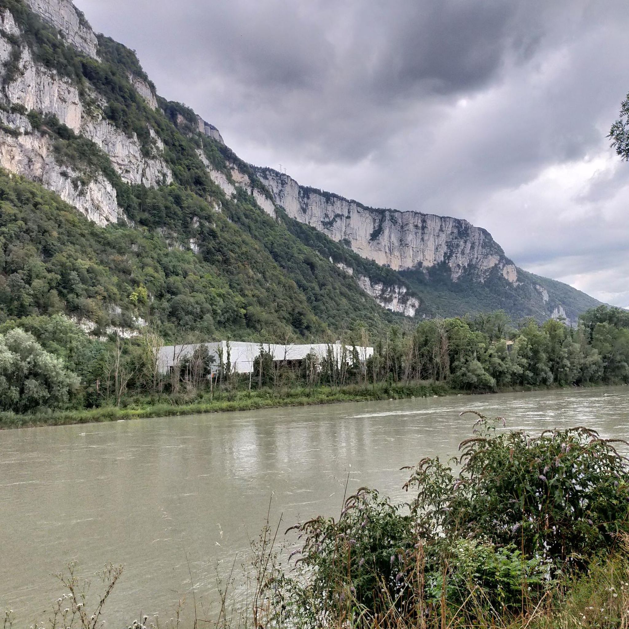
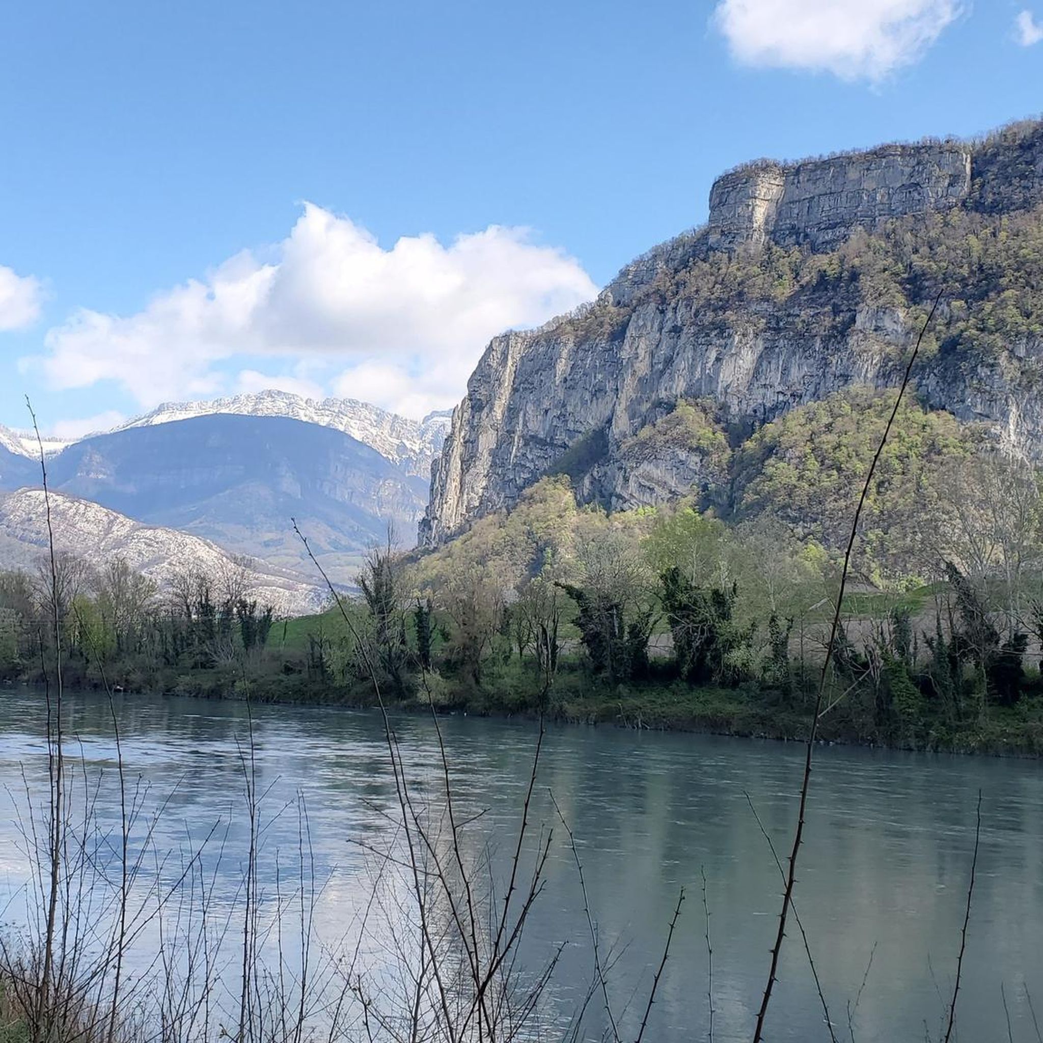
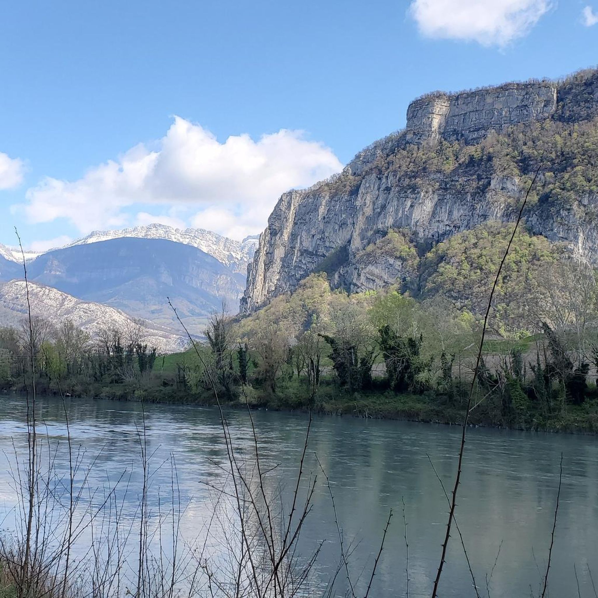


Tips from the Community

A laid out flat, with occasional views of the Isère and the ver c ors, but frankly a bit boring and frankly along the highway. The crossed rest area looked nice but was crowded with people. The charging and repair station was out of order.
0
0

La Véloroute de l'Isère, officially integrated into the national route La Belle Via (referenced under number V63), is a cycling route of over 200 kilometers that runs along the Isère river. It connects the foothills of Savoie to the Drôme (connection with ViaRhôna), by crossing the entire department of Isère and its capital, Grenoble.
0
0
The La Véloroute de l'Isère, officially integrated into the national route La Belle Via (referenced under number V63), is a cycling route of over 200 kilometers that runs along the Isère river. It connects the foothills of Savoie to the Drôme (connection with ViaRhôna), by crossing the entire department of Isère and its capital, Grenoble.
0
0
The Véloroute de l'Isère, officially integrated into the national La Belle Via route (referenced under number V63), is a cycling route of over 200 kilometers that runs along the Isère river. It connects the foothills of Savoie to the Drôme (connection with ViaRhôna), crossing the entire Isère department and its capital, Grenoble.
0
0
Medieval origins (11th - 12th centuries): The religious site is of very ancient origin. From the end of the 11th century, several religious buildings are mentioned in the commune. The Saint-Pierre church itself is cited under the name "ecclesia de Anos" in the famous cartulary of Saint Hugues (Bishop of Grenoble). In the Middle Ages, the church was directly dependent on the priory of Saint-Laurent of Grenoble, as attested by an official terrier dating from 1497 under the name "ecclesia Sancti Petri de Fortaressia".
0
0
Considered by local cyclists to be the most demanding pass in the Chambarans, it mainly connects the Isère valley to the commune of La Forteresse.
0
0
Considered by local cyclists to be the most demanding pass in the Chambarans, it mainly connects the Isère valley to the municipality of La Forteresse.
0
0
The history and architecture of the church of Vatilieu (called Saint-Martin church) are part of the major waves of religious reconstruction in the mid-19th century in Isère. An octagonal bell tower: This is the most remarkable element of its silhouette, visible from the surrounding ridges. The Sentier Artistique des 4 Vents: A 5-kilometer rural art hike starts right in front of the church, displaying dozens of monumental sculptures on the ridges of the commune.
0
0
Frequently Asked Questions
How many road cycling routes are available around Vourey?
There are over 240 road cycling routes around Vourey, offering a wide variety of options for different skill levels and preferences. This includes 37 easy routes, 123 moderate routes, and 84 difficult routes.
Are there road cycling routes suitable for beginners in Vourey?
Yes, Vourey offers several easy road cycling routes perfect for beginners. For instance, the Along the Isère – Saint-Égrève Dam-Bridge loop from Moirans-Galifette is an easy 30 km route with minimal elevation gain, ideal for a relaxed ride along the Isère river.
What kind of challenges can advanced road cyclists expect near Vourey?
Advanced road cyclists will find plenty of challenging routes with significant elevation gains. The region is known for its cols and passes. Routes like the Lake Paladru – Col des Mille Martyrs loop from Moirans-Galifette, a difficult 73.4 km path with over 1000 meters of ascent, offer substantial climbs and rewarding views.
Can I find circular road cycling routes in the Vourey area?
Yes, many road cycling routes around Vourey are designed as loops, allowing you to start and finish at the same point. Examples include the popular Lake Paladru – Col des Mille Martyrs loop from Moirans-Galifette and the Col de Châtain (684 m) – Parménie Pass loop from Moirans-Galifette.
What are some scenic highlights or viewpoints along the road cycling routes?
Road cycling routes in Vourey often feature scenic views of the Isère river valley, forested areas, and natural features like Lake Paladru. You can also encounter various mountain passes such as the Placette Pass or the Lachard Pass (695 m), which offer panoramic vistas.
Are there any family-friendly road cycling options around Vourey?
While many routes involve significant elevation, some flatter sections along the Isère river valley are suitable for families. Look for routes marked as 'easy' with lower elevation gains, such as the Along the Isère – Saint-Égrève Dam-Bridge loop from Moirans-Galifette, which provides a gentler ride.
What is the best time of year for road cycling in Vourey?
The spring and autumn months generally offer the most pleasant conditions for road cycling in Vourey, with milder temperatures and beautiful scenery. Summer can also be excellent, though it's advisable to ride earlier in the morning to avoid the midday heat.
How do winter conditions affect road cycling in Vourey?
During winter, higher elevation routes and mountain passes may be affected by snow and ice, making them challenging or impassable. Lower valley routes might still be accessible, but it's crucial to check local weather conditions and road reports before heading out. Always ensure your bike is equipped for colder, potentially wet conditions.
Are there options for public transport access to road cycling routes near Vourey?
Vourey and its surrounding towns are generally accessible by regional public transport, which can help you reach starting points for various routes. However, specific information on bike carriage policies varies by operator, so it's recommended to check with local bus or train services beforehand.
Where can I find parking for road cycling routes in Vourey?
Many road cycling routes around Vourey start from towns like Moirans-Galifette, where public parking is typically available. Look for designated parking areas in town centers or near popular trailheads. Always ensure you park legally and considerately.
What do other road cyclists appreciate most about the routes in Vourey?
The road cycling routes in Vourey are highly rated by the komoot community, with an average score of 4.5 stars from over 350 reviews. Cyclists often praise the diverse landscape, which combines challenging climbs towards cols with scenic rides through river valleys and around Lake Paladru, offering something for every fitness level.
Are there any places to stop for refreshments or cafes along the routes?
Many routes pass through or near villages and towns where you can find cafes, bakeries, and small shops to refuel. It's always a good idea to plan your route in advance and note potential refreshment stops, especially on longer rides or those in more remote areas.
What are some notable landmarks or attractions to explore near the road cycling routes?
Beyond the natural beauty, you can explore various points of interest. The Isère cycle route itself is a notable feature, and you might pass historical elements like the Mortier Tunnel. For those interested in mountain refuges, the Gève Refuge is also in the wider area.
Most popular attractions around Vourey

Get inspired with the komoot mobile app


Explore more
Browse the best Road cycling routes in other regions.
