The best walks and hikes around Chantesse
4.4
(529)
3,755
hikers
110
hikes
Hiking around Chantesse offers access to diverse landscapes, primarily due to its location bordering the Vercors massif in the Isère department of France. The region features imposing limestone cliffs, dramatic gorges, and expansive plateaus, alongside dense forests and picturesque alpine pastures. Elevations range from valley floors to peaks exceeding 2,000 meters, providing varied terrain for hikers. The area is characterized by cool undergrowth, significant beech forests, and the unique geological strata of the Gorges du Nan.
Best hiking trails around…
Last updated: November 1, 2026
4.8
(28)
167
hikers
4.96km
01:26
130m
130m
Easy hike. Easily walkable paths.
4.8
(41)
215
hikers
Moderate hike. Good fitness required. Easily walkable paths.

4.5
(2)
31
hikers
Moderate hike. Good fitness required. Easily walkable paths.
4.4
(7)
34
hikers
11.5km
03:30
410m
410m
Moderate hike. Good fitness required. Easily walkable paths.
4.0
(4)
24
hikers
8.00km
02:36
350m
350m
Moderate hike. Good fitness required. Easily walkable paths.
Get access to more routes and recommendations from other explorers.
Already have an account?
Our route recommendations are based on thousands of hikes, rides, and runs completed by other people on komoot.
Start today with a free account
Your next adventure awaits.

Tips from the Community

This small rural village of about 600 inhabitants (the Rovonnais and Rovonnaises) is ideally located at the foot of the Vercors massif.
0
0
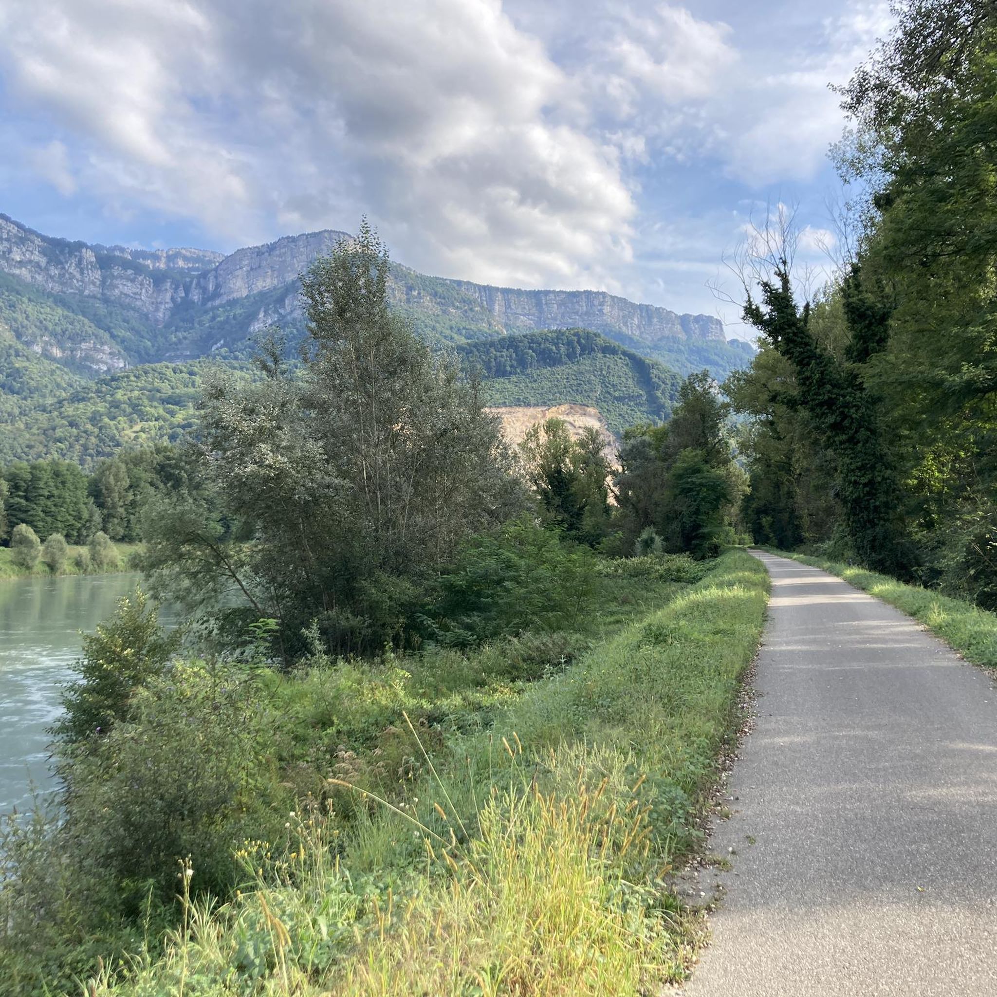
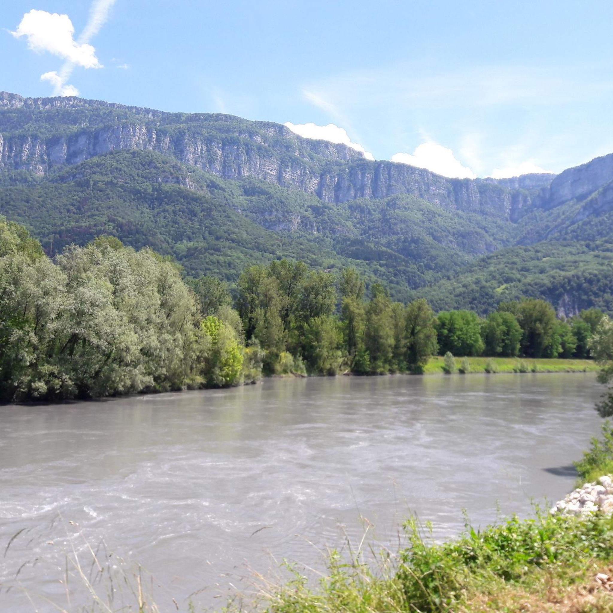
La Belle Via (Green Way): The bridge is an unmissable landmark for cyclists. A flat and shaded cycle route, the Green Way from Saint-Gervais to Pont-d'Oxford, follows the Isère river up to its confluence with the Drac, offering a superb view of the cliffs.
0
0
It is a reinforced concrete "Bow-string" bridge. Designed by the Parisian engineering firm Pelnard-Considère, its construction took place between 1950 and 1952 to replace a previous structure, relying on nearly 150 foundation piles for each abutment.
0
0
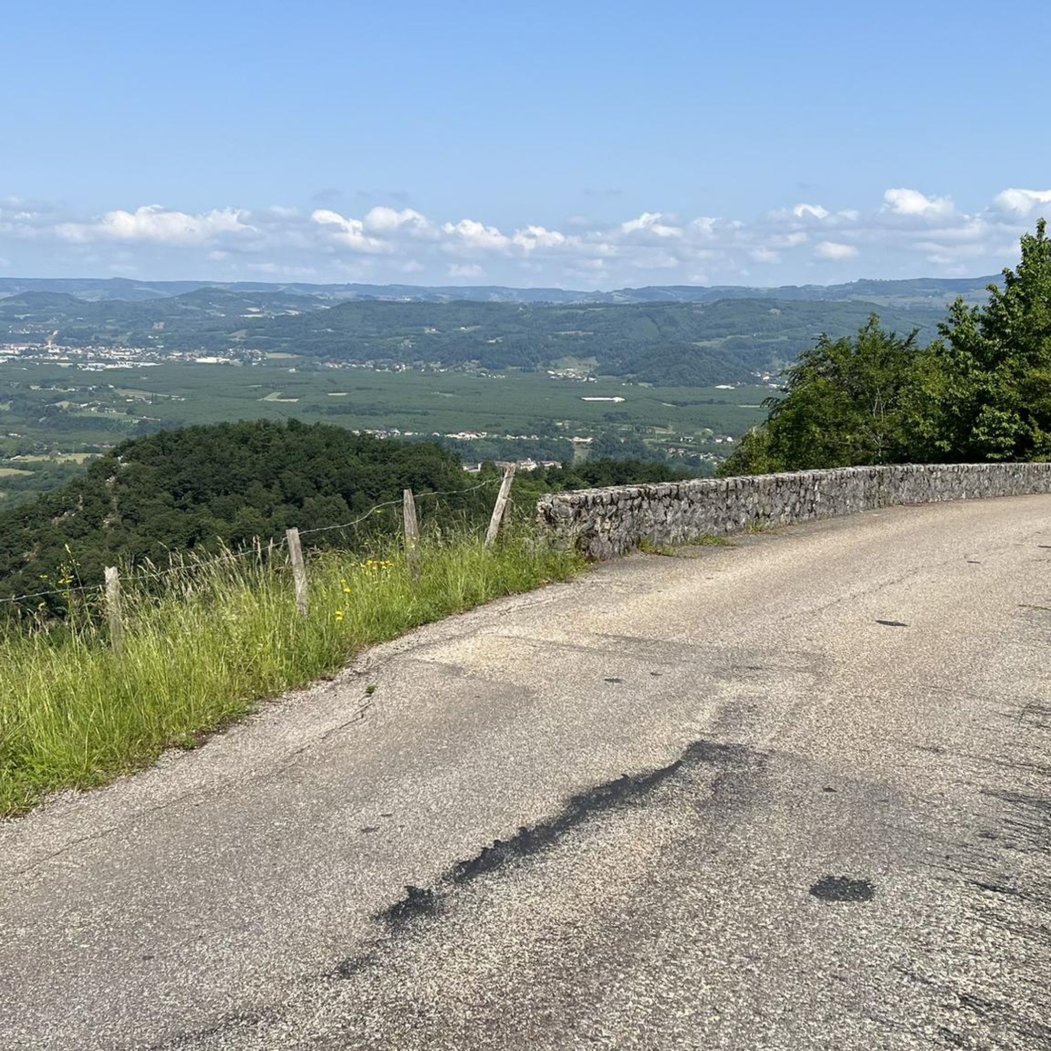
Considered by local cyclists to be the most demanding pass in the Chambarans, it mainly connects the Isère valley to the municipality of La Forteresse.
0
0
The history and architecture of the church of Vatilieu (called Saint-Martin church) are part of the major waves of religious reconstruction in the mid-19th century in Isère. An octagonal bell tower: This is the most remarkable element of its silhouette, visible from the surrounding ridges. The Sentier Artistique des 4 Vents: A 5-kilometer rural art hike starts right in front of the church, displaying dozens of monumental sculptures on the ridges of the commune.
0
0
Vatilieu, a village in the South of Grésivaudan with 382 inhabitants, nestled in the hills of the Vinay region at an altitude of 600m, overlooks the Isère valley opposite the Vercors mountain range. It is in front of this magnificent panorama that the municipality of Vatilieu organized for 5 years, starting in 2010, the "Sculpture aux 4 vents" symposium. This event, unique in Isère, allowed, from 2009 to 2015, five French and foreign professional artists to create in 10 days a monumental work installed on a ridge path in the commune on the theme: "The search for harmony between the place, the texture and the subject." In 2015, a collection of 25 sculptures installed in situ, offered to walkers and art lovers on this five-kilometer loop, is a fine example of the decentralization of art in a rural environment. The sculptures created are visible all year round by following the signage in front of the church of Vatilieu.
0
0
Vatilieu, a village in the South of Grésivaudan with 382 inhabitants, nestled in the hills of the Pays de Vinay at an altitude of 600m, overlooks the Isère valley opposite the Vercors mountain range. It is facing this magnificent panorama that the municipality of Vatilieu organized for 5 years since 2010 the symposium "Sculpture aux 4 vents" (Sculpture in the 4 winds). This event, unique in Isère, allowed, from 2009 to 2015, five French and foreign professional artists to create in 10 days a monumental work installed on a ridge path in the commune on the theme: "The search for harmony between place, texture and subject." In 2015, a collection of 25 sculptures installed in situ, offered to walkers and art lovers on this five-kilometer loop, is a fine example of the decentralization of art in a rural environment. The sculptures created are visible all year round by following the signage opposite the church of Vatilieu.
0
0

Vatillieu is a very beautiful village on a small hill that offers a very nice viewpoint
0
0
Frequently Asked Questions
How many hiking trails are available around Chantesse?
Chantesse offers a wide variety of hiking experiences, with over 90 marked trails. These range from easy strolls to more challenging routes, ensuring options for all skill levels.
Are there easy hiking options suitable for families or beginners?
Yes, there are approximately 20 easy hiking routes around Chantesse. A particularly family-friendly option is the Sculptures aux 4 vents Trail, an easy 3.1-mile (5 km) loop in Vatilieu. This trail features 25 monumental sculptures integrated into the landscape and offers expansive panoramic views, making it an engaging walk for all ages.
Can I find circular hiking routes in the Chantesse area?
Many of the trails around Chantesse are circular, allowing you to start and end at the same point. For example, the Path under the rocks – Great hiking trail through the valley loop from Rovon is a moderate 4.8-mile (7.7 km) loop that takes you through a scenic valley with interesting rock formations.
Are there any hikes that feature waterfalls or dramatic gorges?
Absolutely. The region is known for its dramatic natural features. The Gorges du Nan is a remarkable area with impressive cliffs, unique geological strata, and rich biodiversity. Hiking routes here can lead you close to the stunning Passerelle de la Gaffe Waterfall and numerous basins of the Nan river, all within the cool forest.
What kind of views can I expect on hikes around Chantesse?
Hikes around Chantesse offer diverse and stunning views, primarily due to its proximity to the Vercors massif. You can expect panoramic vistas of the Vercors, Chartreuse, and Belledonne mountain ranges, as well as the Isère valley. Iconic spots like the Col de Romeyère provide breathtaking views of the northern Vercors, featuring a mix of mineral landscapes, pastures, and forests.
Are there any specific attractions or landmarks to look out for on the trails?
Yes, the area is rich in natural and historical landmarks. Besides the Gorges du Nan and Col de Romeyère, you might encounter the unique Écouges Tunnel, a fascinating man-made structure. The Sculptures aux 4 vents Trail also features 25 monumental sculptures integrated into the landscape.
What is the best time of year to go hiking in Chantesse?
Chantesse is enjoyable for hiking across multiple seasons. Spring and autumn offer pleasant temperatures and vibrant foliage. Summer provides the coolness of dense forests like the Chambaran and undergrowth in the Vercors. While some higher routes might be challenging in winter, lower elevation trails can still be accessible, offering a different kind of beauty.
What do other hikers enjoy the most about hiking in Chantesse?
The hiking trails around Chantesse are highly rated by the komoot community, with an average score of 4.5 stars from over 400 reviews. Hikers frequently praise the diverse landscapes, from dramatic gorges and limestone cliffs to dense forests and alpine pastures, as well as the well-maintained network of trails suitable for various skill levels.
Are there any longer, more challenging day hikes available?
For those seeking a more challenging experience, Chantesse offers several moderate to difficult routes. An example is the Great hiking trail through the valley – Path under the rocks loop from Rovon, an 8.4-mile (13.5 km) trail with significant elevation gain, typically completed in about 4 hours 10 minutes.
Can I expect to see any wildlife while hiking in Chantesse?
The Vercors Regional Natural Park, bordering Chantesse, is rich in biodiversity. Hikers might spot peregrine falcons in the gorges, and in higher altitudes, ibex and marmots. The diverse flora, including the elegant doradilla fern and thuriferous juniper, also adds to the natural beauty of the trails.
Are there any hikes that lead to mountain passes with panoramic views?
Yes, the region features several mountain passes offering spectacular views. The Col de Romeyère, situated within the Coulmes massif at 1,068 meters altitude, is an iconic pass that provides stunning panoramic views of the northern Vercors and serves as a gateway to other scenic areas.
Are there options for hiking through dense forests?
Yes, Chantesse is ideal for forest hikes. The Vercors massif features extensive beech forests, particularly in the Coulmes massif, offering cool and shaded trails. Additionally, the Chambaran Forest near Chantesse provides refreshing trails and beautiful views of the Vercors massif, perfect for those seeking a woodland experience.
Most popular routes around Chantesse
Most popular attractions around Chantesse

Get inspired with the komoot mobile app


Explore more
Browse the best Hikes in other regions.
