The best running trails around L'Albenc
4.5
(56)
3,679
runners
240
runs
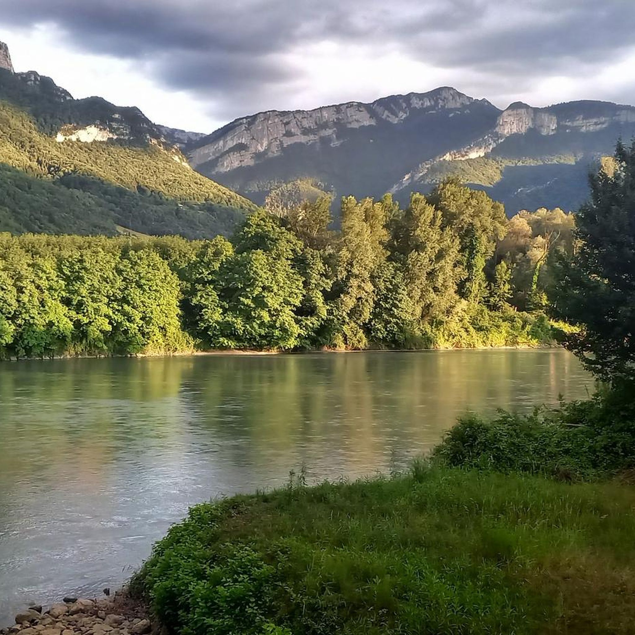
Jogging around L'Albenc offers access to diverse landscapes, from the river paths along the Isère to the varied terrain leading towards the Vercors Regional Natural Park. The region features a mix of relatively flat routes and trails with moderate elevation gain, providing options for different fitness levels. Joggers can experience paths through forests, open plains, and areas with views of the surrounding mountains and valleys. This natural setting provides a consistent backdrop for outdoor activity.
Best jogging routes around L'Albenc
…Last updated: October 4, 2026
19
runners
21.5km
02:12
30m
30m
Hard run. Very good fitness required. Mostly paved surfaces. Suitable for all skill levels.
17
runners
9.23km
01:06
200m
200m
Moderate run. Good fitness required. Mostly paved surfaces. Suitable for all skill levels.

6
runners
5.43km
00:37
140m
140m
Moderate run. Good fitness required. Mostly paved surfaces. Suitable for all skill levels.
9
runners
11.8km
01:50
680m
690m
Hard run. Very good fitness required. Mostly accessible paths. Some sure footedness required.
4
runners
5.98km
00:39
40m
40m
Moderate run. Good fitness required. Mostly paved surfaces. Suitable for all skill levels.
Get access to more routes and recommendations from other explorers.
Already have an account?
Our route recommendations are based on thousands of hikes, rides, and runs completed by other people on komoot.
Start today with a free account
Your next adventure awaits.

Other adventures around L'Albenc

Tips from the Community

A laid out flat, with occasional views of the Isère and the ver c ors, but frankly a bit boring and frankly along the highway. The crossed rest area looked nice but was crowded with people. The charging and repair station was out of order.
0
0

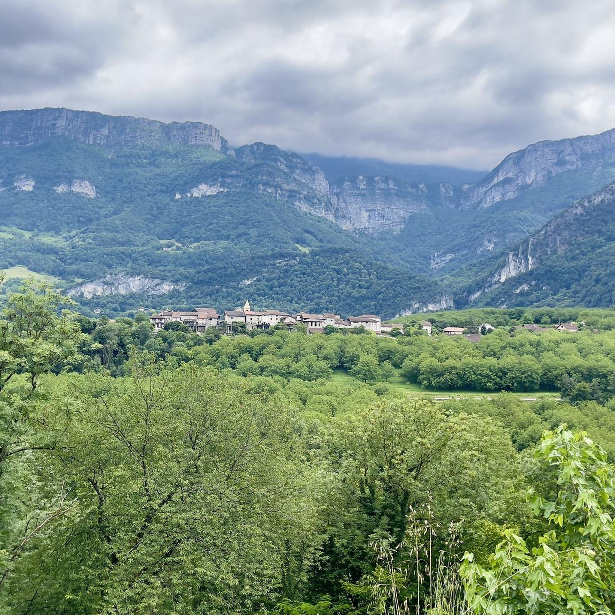
This small rural village of about 600 inhabitants (the Rovonnais and Rovonnaises) is ideally located at the foot of the Vercors massif.
0
0
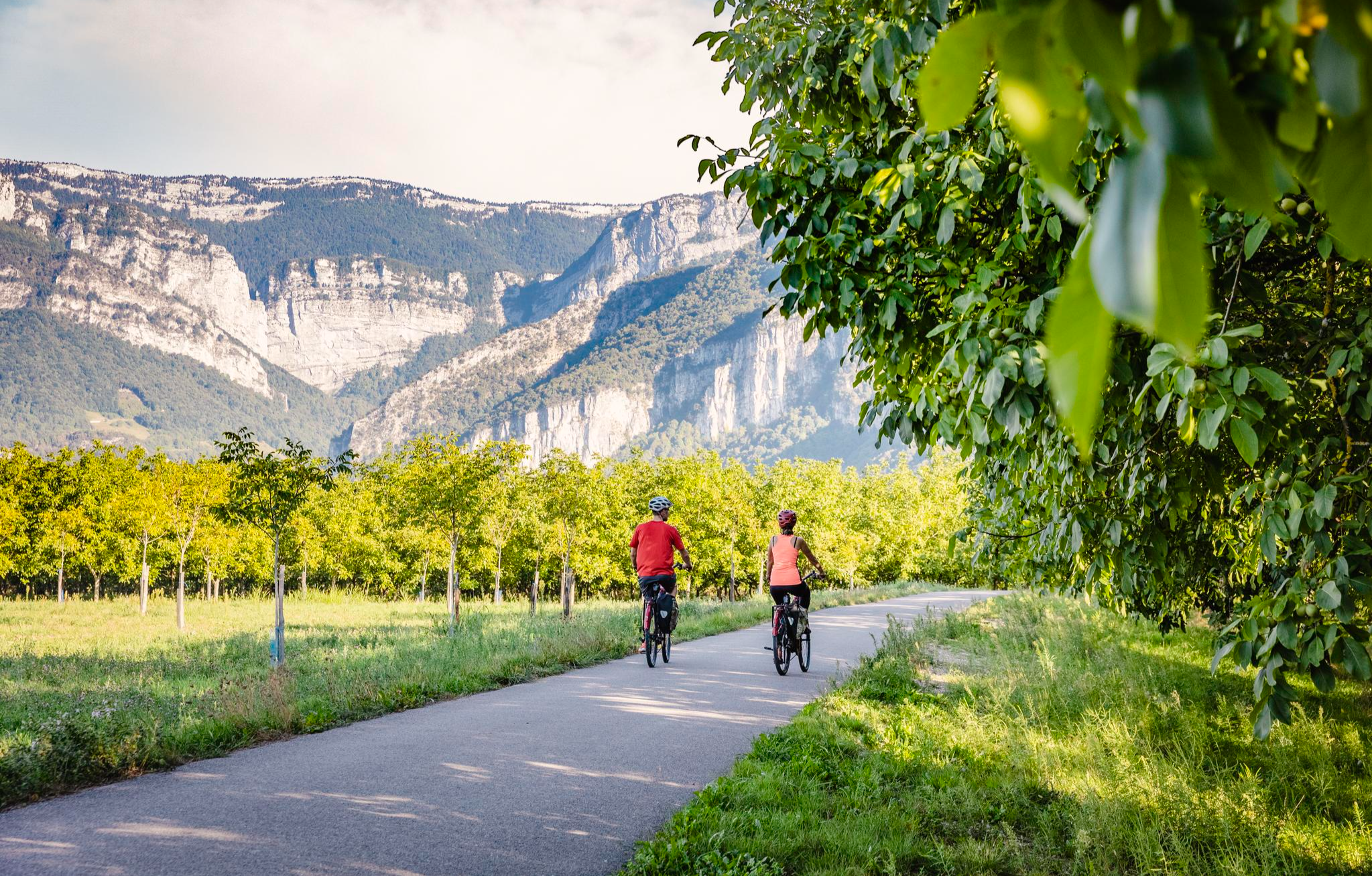
La Véloroute de l'Isère, officially integrated into the national route La Belle Via (referenced under number V63), is a cycling route of over 200 kilometers that runs along the Isère river. It connects the foothills of Savoie to the Drôme (connection with ViaRhôna), by crossing the entire department of Isère and its capital, Grenoble.
0
0
The La Véloroute de l'Isère, officially integrated into the national route La Belle Via (referenced under number V63), is a cycling route of over 200 kilometers that runs along the Isère river. It connects the foothills of Savoie to the Drôme (connection with ViaRhôna), by crossing the entire department of Isère and its capital, Grenoble.
0
0
The Véloroute de l'Isère, officially integrated into the national La Belle Via route (referenced under number V63), is a cycling route of over 200 kilometers that runs along the Isère river. It connects the foothills of Savoie to the Drôme (connection with ViaRhôna), crossing the entire Isère department and its capital, Grenoble.
0
0
La Belle Via (Green Way): The bridge is an unmissable landmark for cyclists. A flat and shaded cycle route, the Green Way from Saint-Gervais to Pont-d'Oxford, follows the Isère river up to its confluence with the Drac, offering a superb view of the cliffs.
0
0
It is a reinforced concrete "Bow-string" bridge. Designed by the Parisian engineering firm Pelnard-Considère, its construction took place between 1950 and 1952 to replace a previous structure, relying on nearly 150 foundation piles for each abutment.
0
0

beautiful, well-maintained cycle path along the Isère.
0
0
Frequently Asked Questions
How many running routes are available around L'Albenc?
The L'Albenc area offers a wide selection of running routes, with over 240 trails recorded on komoot. These range from easy loops to more challenging paths, ensuring options for various fitness levels and preferences.
What kind of terrain and difficulty can I expect on running trails near L'Albenc?
You'll find a diverse range of terrain, from relatively flat river paths along the Isère to varied landscapes with moderate elevation gain leading towards the Vercors Regional Natural Park. The routes include paths through forests, open plains, and areas offering views of the surrounding mountains. Difficulty levels vary, with approximately 15 easy routes, 130 moderate routes, and 96 difficult routes available.
Are there any challenging running routes with significant elevation gain in the L'Albenc area?
Yes, for runners seeking a challenge, there are several routes with notable elevation gain. For example, the Acute foot loop from Saint-Gervais is a difficult 11.8 km route with over 680 meters of ascent. Another option is the Col de Pierre brune – Château de l'Alba loop from L'Albenc, a difficult 14 km trail with around 345 meters of elevation gain.
What natural features or viewpoints can I enjoy while jogging around L'Albenc?
The region boasts breathtaking 360° views of vast plains, majestic mountains, and shimmering lakes. Many routes offer views of the Vercors massif. You can also find natural monuments like Gorges du Nan or enjoy panoramic vistas from La Molière Alpine Pasture and Panoramic View. The Isère River paths also provide pleasant water and mountain scenery.
Are there any specific landmarks or attractions visible from the running paths?
While jogging, you'll often have views of the Vercors mountains. Some routes might pass near historical sites like the Château de l'Alba. The region is also characterized by its proximity to the Vercors Regional Natural Park, offering a backdrop of stunning rock formations and lush forests. For specific natural landmarks, consider routes that offer views of summits like Charande Summit or Bec de l'Orient.
Is it easy to find parking near the running trailheads in L'Albenc?
While specific parking information for each trailhead isn't detailed, L'Albenc is a smaller commune, and many routes start from accessible points within or just outside the village. It's generally advisable to check the starting point of your chosen route on komoot for any specific parking recommendations or local signage.
Can I access running routes around L'Albenc using public transport?
The region around L'Albenc is best explored by car for direct access to many trailheads, especially those deeper into the Vercors. Public transport options might be limited for reaching specific starting points of running routes. For broader regional information, you might find details on local transport networks via resources like grenoble-tourisme.com, but direct access to remote trailheads often requires personal transport.
What is the best time of year to go running in L'Albenc?
L'Albenc and its surrounding areas are suitable for running throughout much of the year. Spring and autumn offer pleasant temperatures and vibrant scenery. Summer can be warm, making early morning or late afternoon runs ideal. Winter running is possible, especially on lower elevation paths, but higher trails in the Vercors might require appropriate gear due to snow or colder conditions.
Are there family-friendly running routes suitable for all ages around L'Albenc?
Yes, L'Albenc offers easy and moderate trails that are suitable for families. Routes along the Isère River are often flatter and less strenuous. For example, the Running loop from L'Albenc is a moderate 5.4 km trail that can be completed in under an hour, making it a good option for a family outing.
Are dogs allowed on the running trails in L'Albenc?
Generally, dogs are welcome on many outdoor trails in France, especially in natural areas like those around L'Albenc and the Vercors Regional Natural Park. However, it's always recommended to keep dogs on a leash, especially in protected areas, near livestock, or during nesting seasons. Always check local signage at trailheads for specific regulations regarding dogs.
Are there any circular running routes in the L'Albenc area?
Yes, many of the running routes around L'Albenc are designed as loops, allowing you to start and finish at the same point. Examples include the Rovon loop from Rovon, a moderate 6.5 km path, and the Running loop from L'Albenc, a 5.4 km trail. These circular options are convenient for planning your run.
What do other runners enjoy the most about jogging in L'Albenc?
The running routes in L'Albenc are highly rated by the komoot community, with an average score of 4.5 stars from over 30 reviews. Runners often praise the varied terrain, the scenic views of the Vercors massif, and the peaceful atmosphere of the river paths and wooded sections. The diversity of routes, catering to different abilities, is also a frequently appreciated aspect.
Are there less crowded running routes available near L'Albenc?
While popular routes like the Isère cycle path can see more activity, the extensive network of over 240 trails means it's possible to find quieter options. Exploring some of the less-trafficked moderate or difficult trails, especially during off-peak hours or seasons, can lead to a more solitary running experience amidst nature.
Most popular attractions around L'Albenc

Get inspired with the komoot mobile app


Explore more
Browse the best Running Trails & Routes in other regions.
