The best road cycling routes around Notre-Dame-De-L'Osier
4.6
(99)
1,901
riders
100
rides
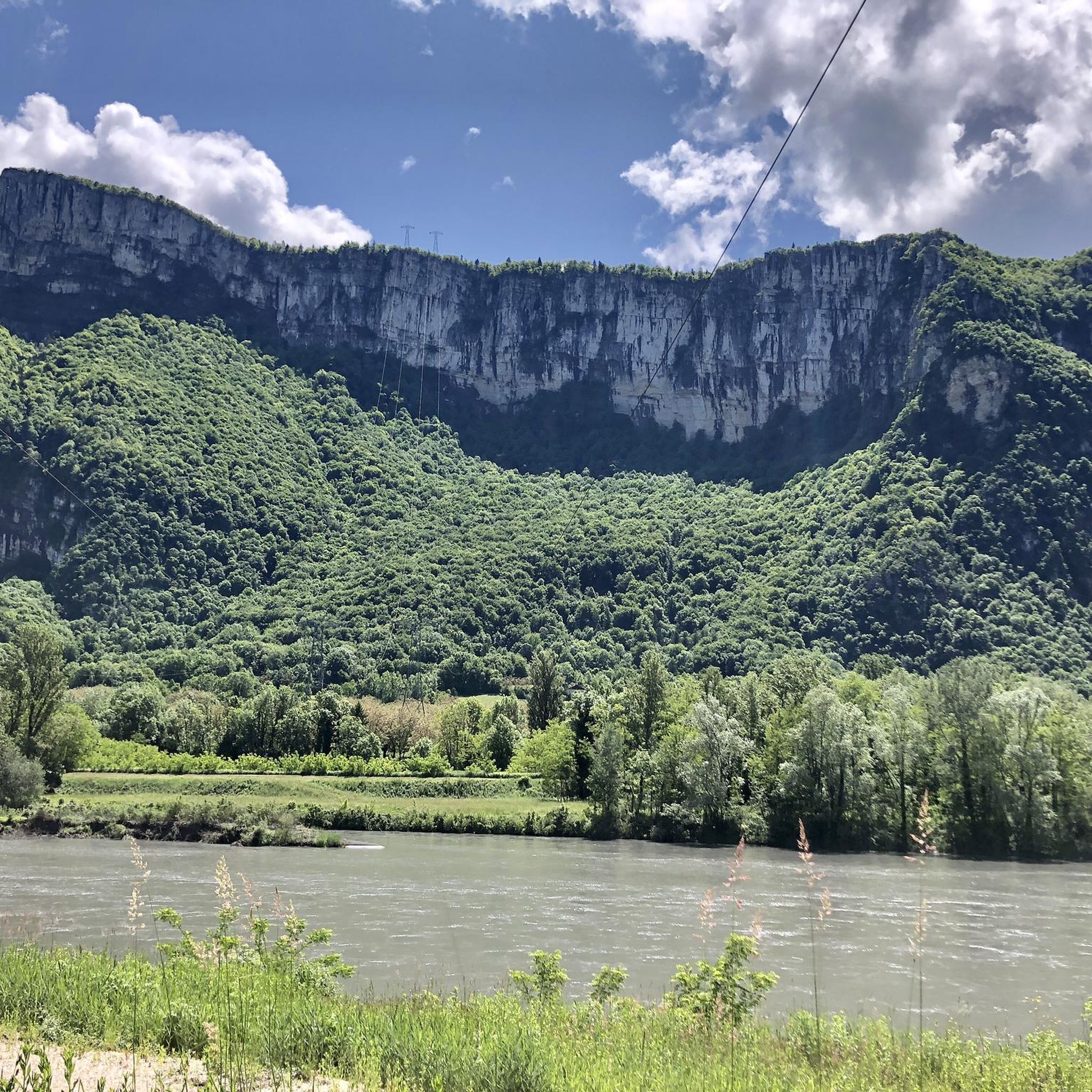
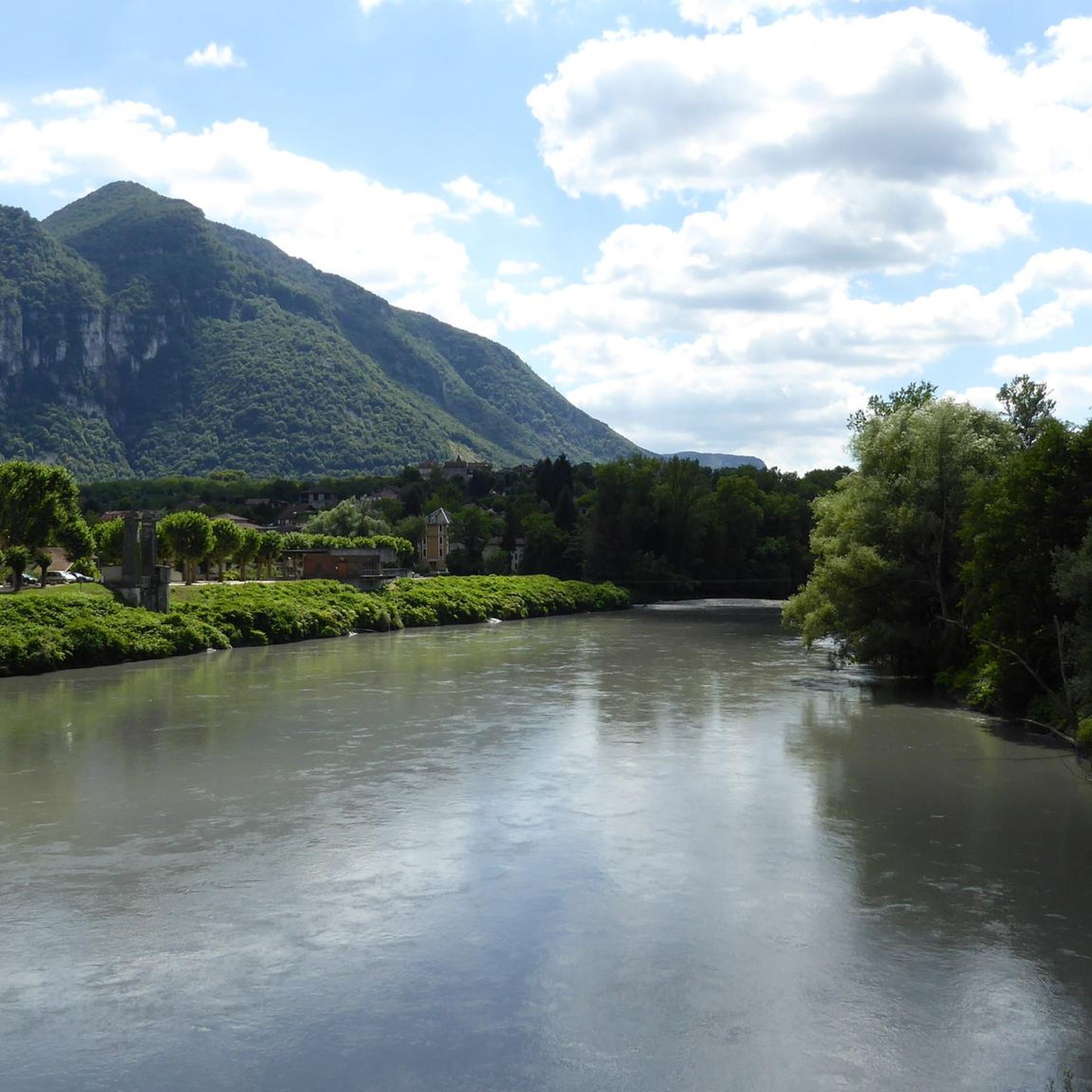
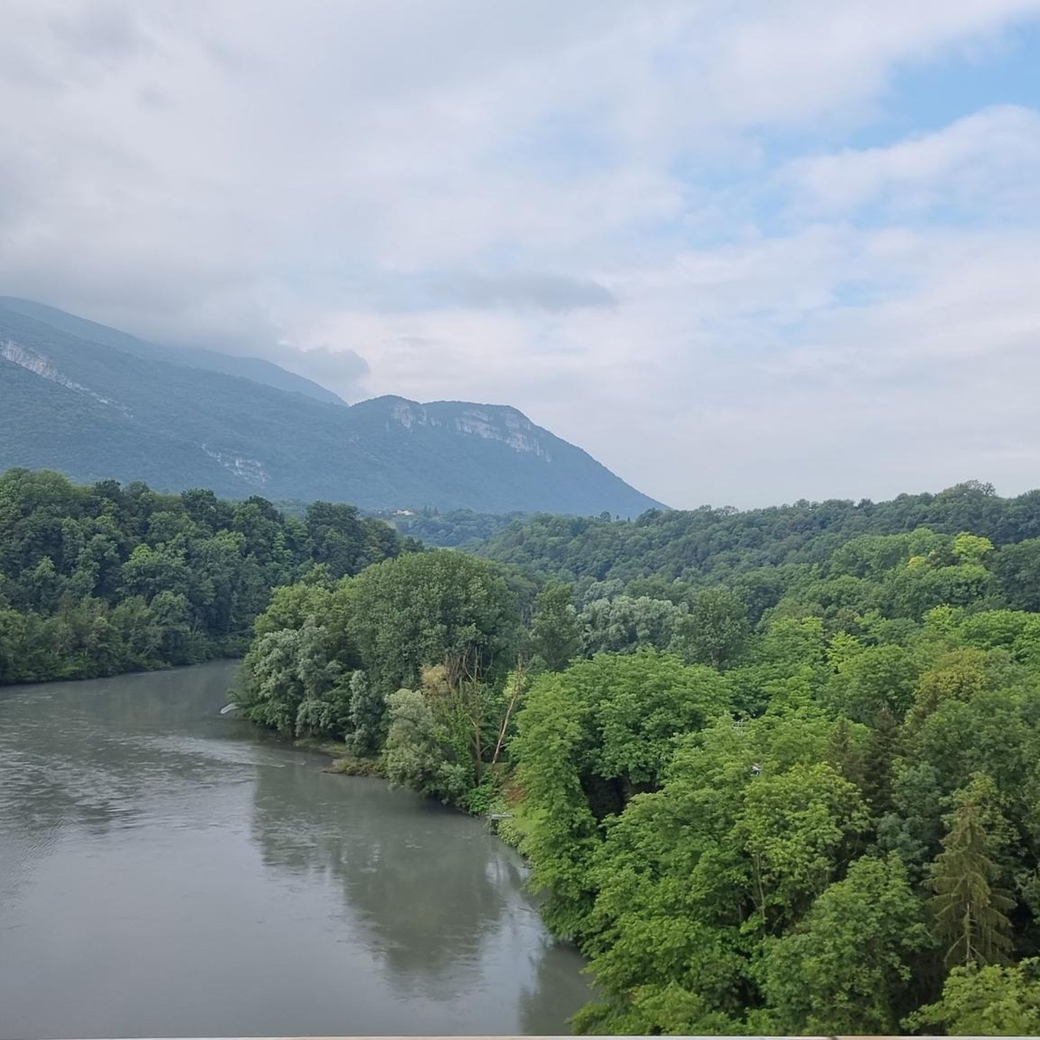
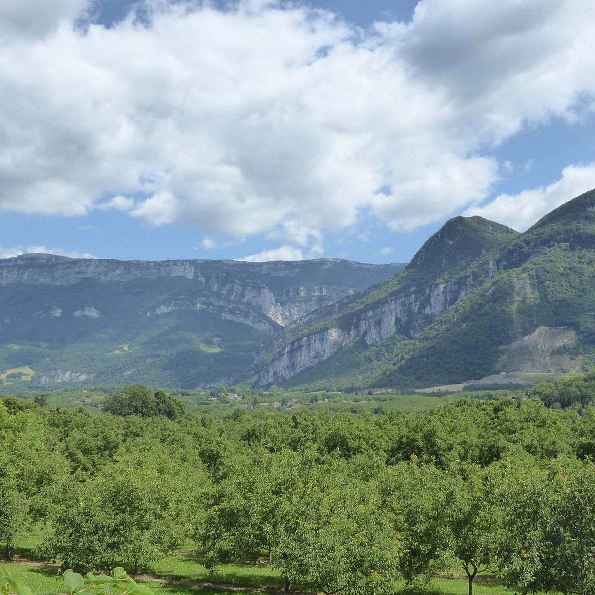
Road cycling routes around Notre-Dame-De-L'Osier are characterized by varied terrain, featuring numerous passes and significant elevation changes. The landscape includes rolling hills and valleys, providing a mix of challenging climbs and scenic descents. The region offers road cyclists opportunities to explore routes that traverse through natural settings, often with views of the surrounding countryside.
Best road cycling routes around Notre-Dame-De-L'Osier
- The most popular road cycling route is Parménie Pass – Lachard Pass (695 m) loop from Vatilieu, a 22.2…
Last updated: November 1, 2026
5.0
(1)
43
riders
Moderate road ride. Good fitness required. Mostly well-paved surfaces and easy to ride.
28
riders
74.9km
03:48
1,020m
1,020m
Hard road ride. Very good fitness required. Mostly well-paved surfaces and easy to ride.

23
riders
66.1km
03:55
1,620m
1,620m
Hard road ride. Very good fitness required. Mostly well-paved surfaces and easy to ride.
5.0
(1)
14
riders
Moderate road ride. Good fitness required. Mostly well-paved surfaces and easy to ride.
5.0
(1)
8
riders
27.4km
01:24
450m
450m
Moderate road ride. Good fitness required. Mostly well-paved surfaces and easy to ride.
Get access to more routes and recommendations from other explorers.
Already have an account?
Our route recommendations are based on thousands of hikes, rides, and runs completed by other people on komoot.
Start today with a free account
Your next adventure awaits.
Tips from the Community

The climb from Saint-Gervais is a classic for cyclists, passing through the spectacular and narrow road of the Écouges (D35). Distance: 13.2 kmElevation gain: 880 mAverage gradient: 6.7 %
0
0
Often classified as Hors Catégorie (HC), it counts among the most demanding climbs in the Vercors and has notably been used by the Critérium du Dauphiné.
0
0
This small rural village of about 600 inhabitants (the Rovonnais and Rovonnaises) is ideally located at the foot of the Vercors massif.
0
0
The La Véloroute de l'Isère, officially integrated into the national route La Belle Via (referenced under number V63), is a cycling route of over 200 kilometers that runs along the Isère river. It connects the foothills of Savoie to the Drôme (connection with ViaRhôna), by crossing the entire department of Isère and its capital, Grenoble.
0
0
Medieval origins (11th - 12th centuries): The religious site is of very ancient origin. From the end of the 11th century, several religious buildings are mentioned in the commune. The Saint-Pierre church itself is cited under the name "ecclesia de Anos" in the famous cartulary of Saint Hugues (Bishop of Grenoble). In the Middle Ages, the church was directly dependent on the priory of Saint-Laurent of Grenoble, as attested by an official terrier dating from 1497 under the name "ecclesia Sancti Petri de Fortaressia".
0
0

The most spectacular route is the one via the Nan gorges, then via Malleval-en-Vercors. In a league of its own.
0
0

The ascent on the south side is pretty. If you come from Vatilieu, you do it downhill.
0
0

Here is the route for the ascent of the Col de Parménie starting from Tullins
1
0
Frequently Asked Questions
How many road cycling routes are available around Notre-Dame-De-L'Osier?
There are over 100 road cycling routes documented on komoot around Notre-Dame-De-L'Osier, offering a wide variety of options for different skill levels and preferences.
What is the typical difficulty level of road cycling routes in this region?
The region features a diverse range of routes. While there are 12 easy routes suitable for beginners, the majority (59) are moderate, and 30 are considered difficult, often involving significant elevation changes and passes.
Are there challenging road cycling routes for experienced riders?
Yes, Notre-Dame-De-L'Osier is known for its challenging terrain, featuring numerous passes and substantial elevation gains. For example, the Parménie Pass – Toutes Aures Pass loop from Chantesse is a difficult route covering 46.3 km with over 900 meters of ascent.
What kind of scenery can I expect on road cycling routes around Notre-Dame-De-L'Osier?
The routes traverse rolling hills and valleys, offering scenic views of the surrounding countryside. You'll encounter natural settings, often with panoramic vistas. The region is characterized by its pass landscape.
Are most road cycling routes in Notre-Dame-De-L'Osier loop trails?
Many of the popular road cycling routes in the area are designed as loops, allowing you to start and finish at the same point. Examples include the Col de Châtain (684 m) – Lachard Pass (695 m) loop from Chantesse and the Toutes Aures Pass – Cognet Pass (525 m) loop from Vinay.
What are some notable natural attractions visible from or near the road cycling routes?
Cyclists can explore areas close to natural wonders. Highlights include the stunning Gorges du Nan, the serene The Cyclone forest, and the impressive Passerelle de la Gaffe Waterfall. These natural monuments add to the scenic appeal of the region.
Are there any interesting landmarks or points of interest along the road cycling routes?
Beyond natural beauty, you might encounter man-made points of interest. The Écouges Tunnel and the scenic Col de Romeyère are notable features that cyclists often pass by or through.
What is the best time of year for road cycling around Notre-Dame-De-L'Osier?
The varied terrain, including numerous passes, suggests that late spring through early autumn typically offers the most favorable conditions for road cycling, with milder temperatures and clear roads. Some higher passes might be affected by snow earlier or later in the season.
What do other road cyclists say about the routes in Notre-Dame-De-L'Osier?
The road cycling routes in Notre-Dame-De-L'Osier are highly regarded by the komoot community, with an average rating of 4.6 stars from over 70 reviews. Cyclists often praise the varied terrain, challenging climbs, and beautiful natural settings.
Are there any easy or beginner-friendly road cycling routes?
Yes, there are 12 easy routes available, which are generally shorter and have less elevation gain, making them suitable for beginners or those looking for a more relaxed ride. These routes still offer the region's characteristic scenic beauty without the intense climbs.
What is the typical length and duration of road cycling routes in the area?
Route lengths vary significantly. For instance, the Parménie Pass – Lachard Pass (695 m) loop from Vatilieu is 35.7 km and takes about 2 hours, while the Belvedere of the Land of the Walnut – Toutes Aures Pass loop from L'Albenc is 34.3 km and takes around 1 hour 40 minutes. You'll find options ranging from shorter rides to longer, more enduring tours.
Most popular routes around Notre-Dame-De-L'Osier
Most popular attractions around Notre-Dame-De-L'Osier

Get inspired with the komoot mobile app


Explore more
Browse the best Road cycling routes in other regions.
