The best road cycling routes around Saint-Sauveur
4.5
(268)
7,175
riders
166
rides
Road cycling routes around Saint-Sauveur are set within the Laurentian Mountains of Quebec, offering a varied terrain for cyclists. The region features rolling hills, dense forests, and numerous lakes, providing diverse backdrops for rides. Cyclists can find both challenging climbs and more gentle paths, including sections of the P'tit Train du Nord linear park. The landscape is characterized by its natural beauty and the presence of small roads suitable for cycling.
Best road cycling routes around Saint-Sauveur
- The most popular…
Last updated: October 9, 2026
4.3
(3)
31
riders
60.0km
02:53
850m
850m
Moderate road ride. Good fitness required. Mostly well-paved surfaces and easy to ride.
8
riders
35.3km
02:01
500m
500m
Moderate road ride. Good fitness required. Some segments of this route may be unpaved and difficult to ride.

4.9
(7)
302
riders
115km
05:38
1,690m
1,690m
Hard road ride. Very good fitness required. Mostly well-paved surfaces and easy to ride.
92
riders
39.5km
02:43
1,290m
1,290m
Hard road ride. Very good fitness required. Mostly well-paved surfaces and easy to ride.
69
riders
66.9km
03:42
1,390m
1,390m
Hard road ride. Very good fitness required. Mostly well-paved surfaces and easy to ride.
Get access to more routes and recommendations from other explorers.
Already have an account?
Our route recommendations are based on thousands of hikes, rides, and runs completed by other people on komoot.
Start today with a free account
Your next adventure awaits.

Other adventures around Saint-Sauveur

Tips from the Community

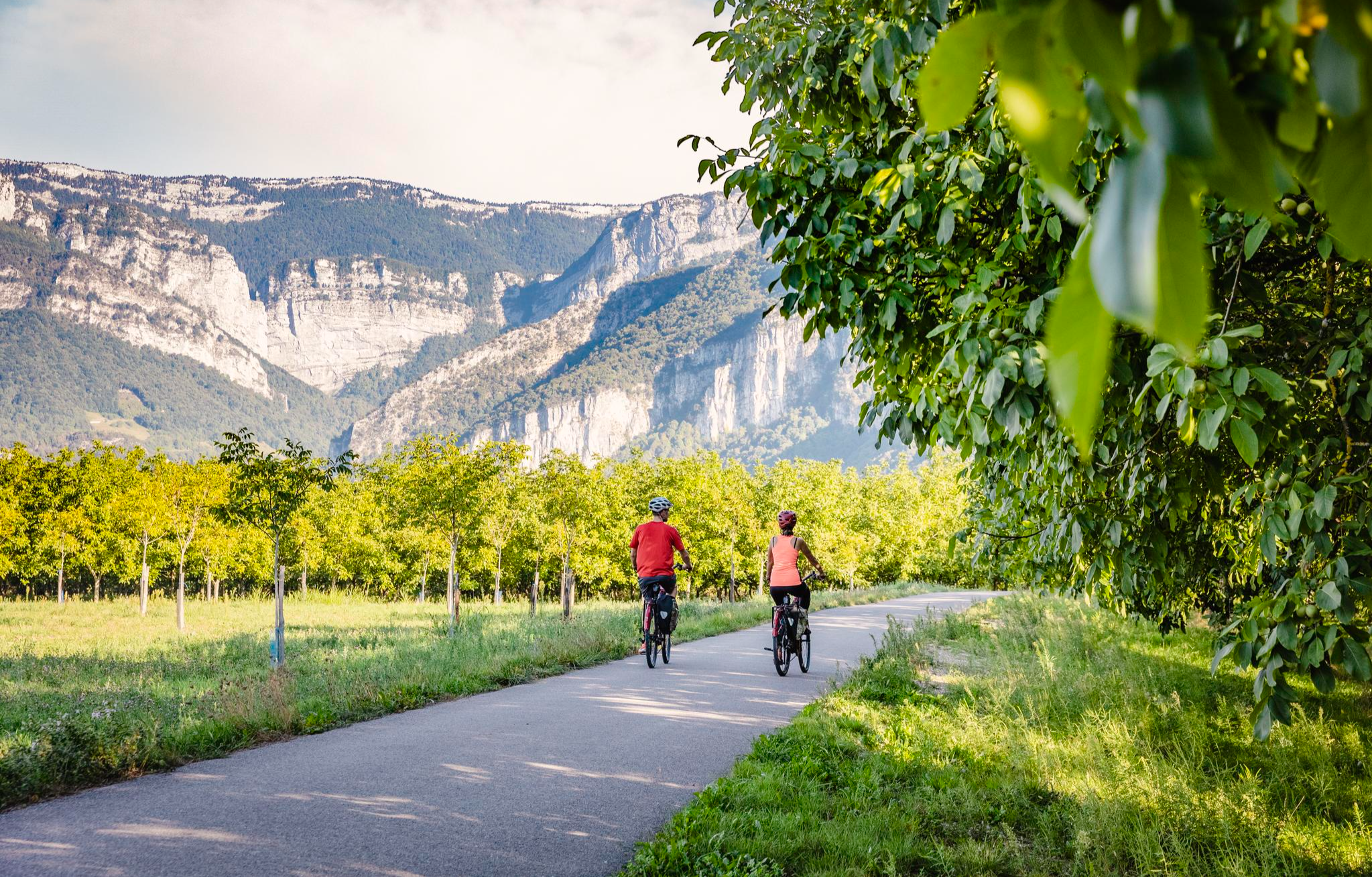
The La Véloroute de l'Isère, officially integrated into the national route La Belle Via (referenced under number V63), is a cycling route of over 200 kilometers that runs along the Isère river. It connects the foothills of Savoie to the Drôme (connection with ViaRhôna), by crossing the entire department of Isère and its capital, Grenoble.
0
0
The Gorges du Nan form a spectacular canyon carved by the Nan torrent, located in the Vercors massif and classified as a Sensitive Natural Area (Espace Naturel Sensible - ENS) since 2015 by the department of Isère. Between the villages of Cognin-les-Gorges and Malleval-en-Vercors in Isère. Impressive limestone cliffs, waterfalls (like the Cascade de la Gerlette) and clear water pools.
0
0

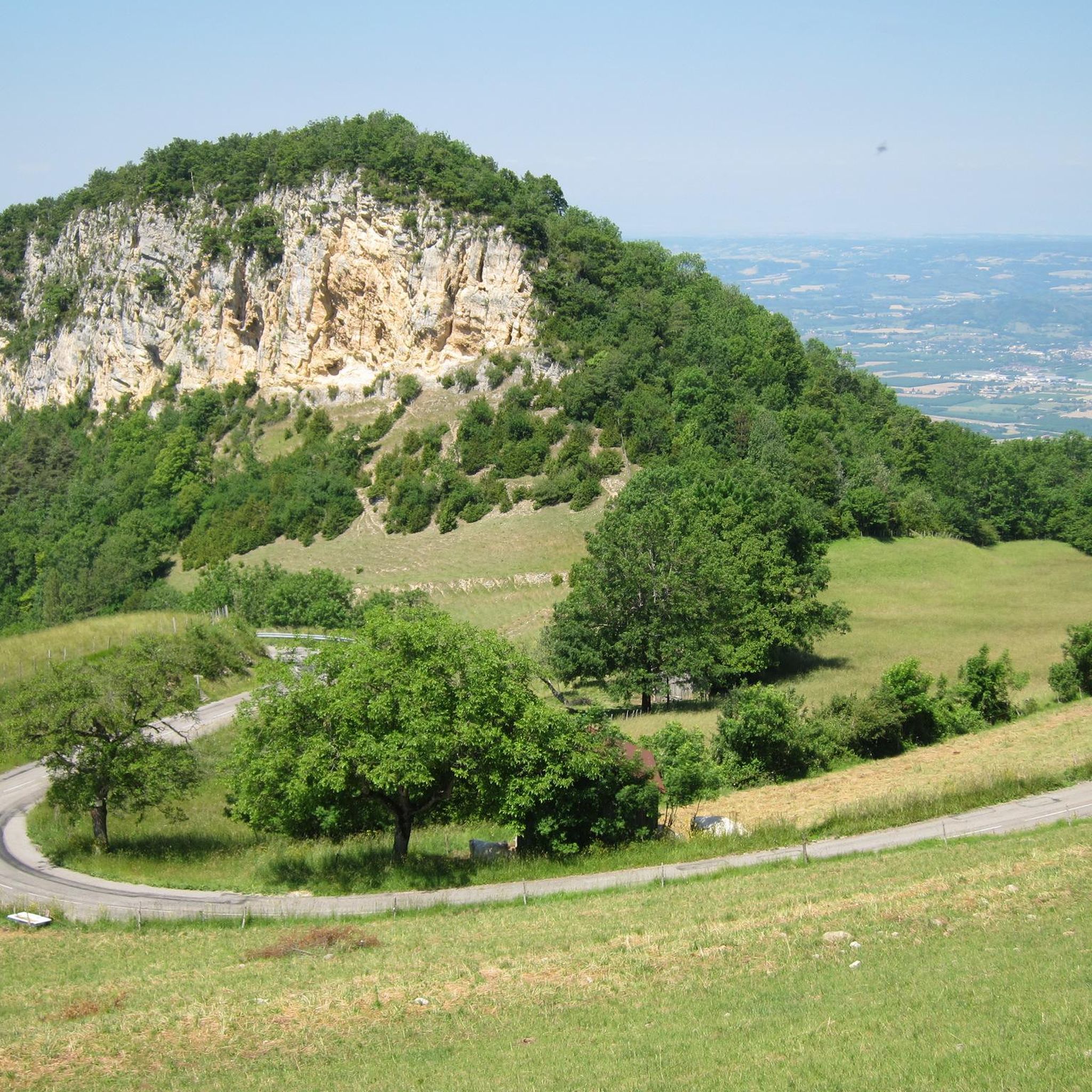
Road immersed in nature.
9
0
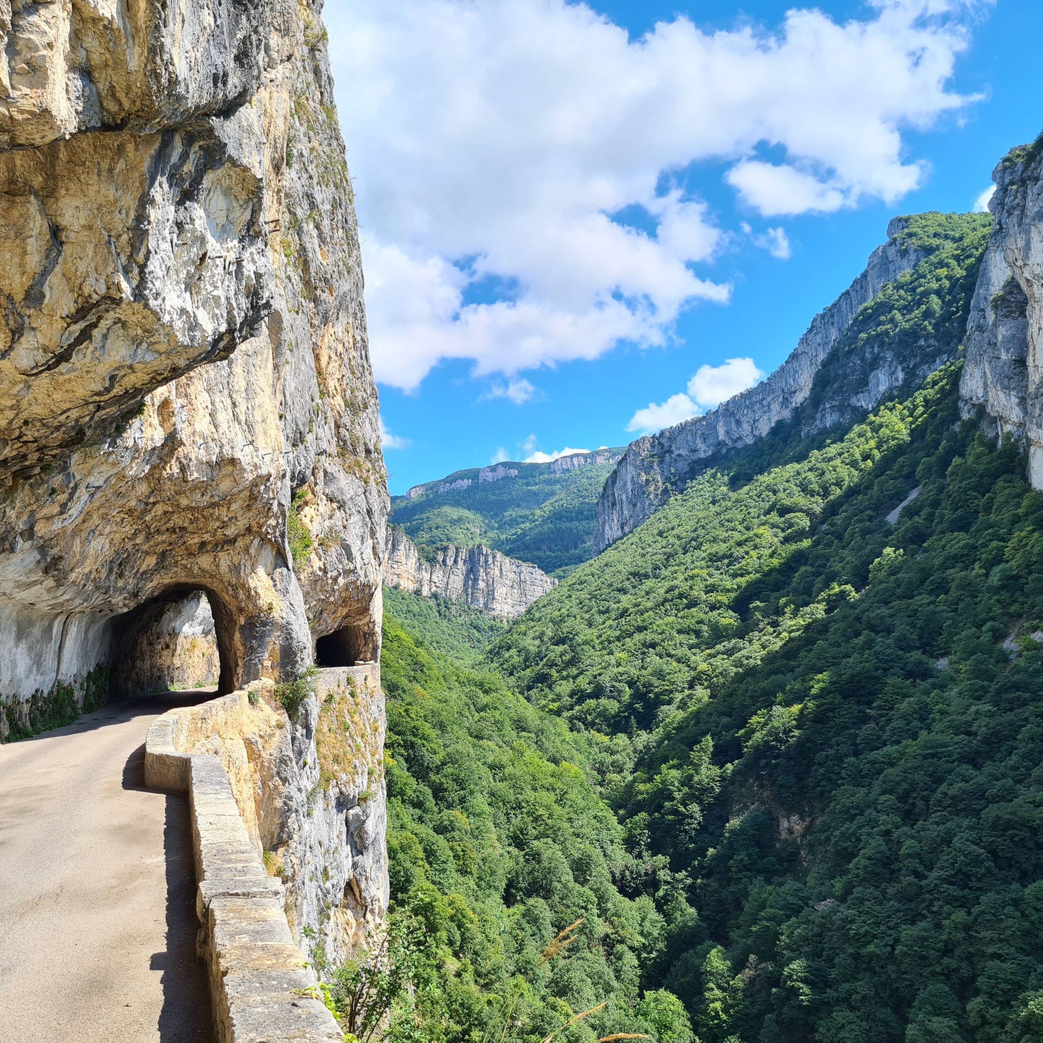
Spectacular road carved into the rock in the heart of the Vercors. Vertical walls, numerous tunnels, and the Bourne stream accompany the route in a wild and evocative setting. One of the most scenic roads in the Vercors, not to be missed by bicycle.
10
0

Currently new asphalt on the first km👌
0
0

The most spectacular route is the one via the Nan gorges, then via Malleval-en-Vercors. In a league of its own.
0
0
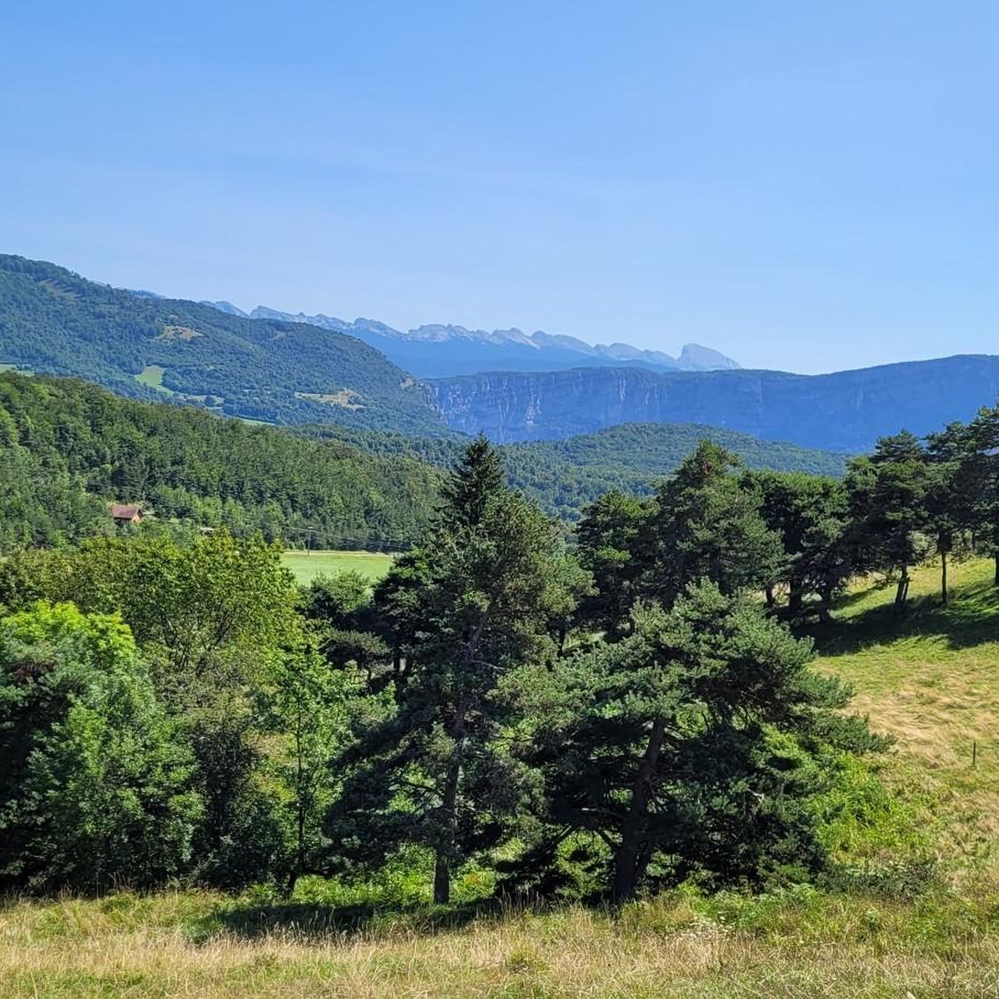
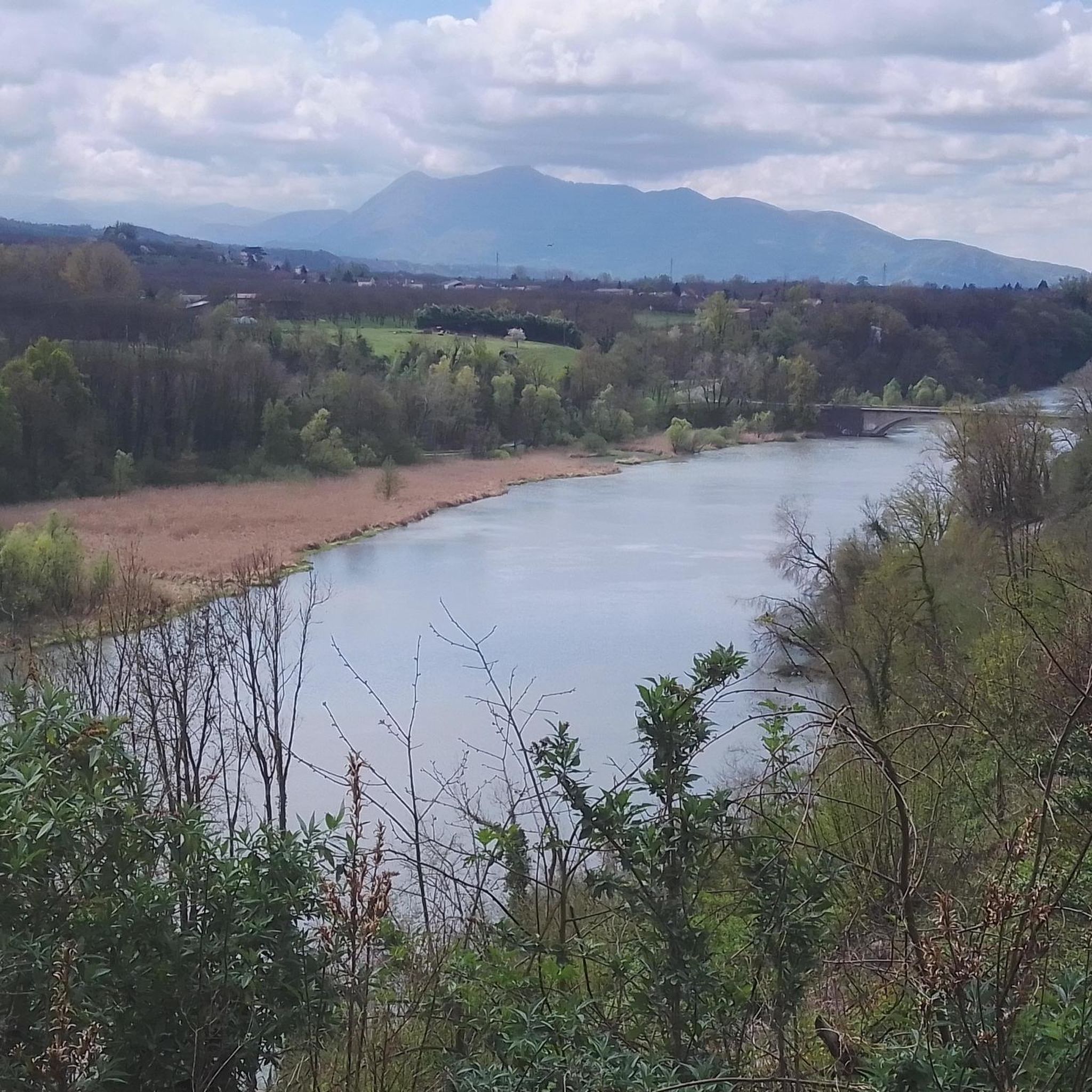
Stunning view of the narrow opening of the Nan gorges.
0
0
Frequently Asked Questions
How many road cycling routes are available around Saint-Sauveur?
There are over 170 road cycling routes in the Saint-Sauveur area, offering a wide range of distances and difficulty levels. These routes are set within the picturesque Laurentian Mountains, providing diverse backdrops for your rides.
What kind of terrain and landscapes can I expect on road cycling routes in Saint-Sauveur?
Road cycling in Saint-Sauveur features a varied terrain, including rolling hills, dense forests, and numerous tranquil lakes, all set against the backdrop of the Laurentian Mountains. You'll find routes with both challenging climbs and more gentle paths, often connecting charming villages and offering scenic views.
Are there road cycling routes suitable for beginners or families in Saint-Sauveur?
Yes, Saint-Sauveur offers 17 easy road cycling routes, perfect for beginners or families looking for a more relaxed ride. An example is the Saint-Marcellin – Les Noyers loop from Saint-Marcellin, an 18.8-mile (30.2 km) trail that takes about 1 hour 21 minutes to complete.
What are some challenging road cycling routes for experienced riders in Saint-Sauveur?
For experienced cyclists seeking a challenge, Saint-Sauveur has 68 difficult routes. A notable option is the Écouges Tunnel – Pont-en-Royans loop from Saint-Marcellin, a 40.9-mile (65.8 km) route with over 1,300 meters of climbing, typically completed in about 3 hours 37 minutes.
Can I find circular road cycling routes in the Saint-Sauveur area?
Yes, many of the road cycling routes around Saint-Sauveur are designed as loops, allowing you to start and finish in the same location. For instance, the The Saint-Marcellin region route is a popular loop covering 21.9 miles (35.3 km).
What is the best time of year for road cycling in Saint-Sauveur?
The best time for road cycling in Saint-Sauveur is typically from spring through fall, when the weather is mild and the natural scenery is at its peak. The region's lush forests and lakes are particularly beautiful during these seasons. Always check local weather conditions before heading out.
Are there any notable landmarks or natural attractions along the road cycling routes?
Yes, the Saint-Sauveur region offers several natural attractions. You might encounter features like the White Waterfall or the dramatic Choranche gorge. The routes often wind through areas with stunning rock formations and verdant panoramas.
What do other road cyclists enjoy most about road cycling in Saint-Sauveur?
The road cycling routes in Saint-Sauveur are highly rated by the komoot community, with an average score of 4.5 out of 5 stars from over 200 reviews. Cyclists often praise the diverse terrain, the beautiful Laurentian landscapes, and the variety of routes suitable for different skill levels.
Is the P'tit Train du Nord accessible for road cyclists near Saint-Sauveur?
Yes, the renowned Le P'tit Train du Nord linear park, Canada's longest linear park, is a significant feature of the region. While it's a multi-use trail, its well-maintained, relatively flat surface makes it suitable for road cyclists seeking longer distances through lush forests and past serene lakes and villages.
Are there any routes that offer particularly scenic viewpoints?
Many routes in Saint-Sauveur provide scenic viewpoints, especially those that traverse the rolling hills of the Laurentian Mountains. The region is characterized by verdant panoramas and stunning natural features, ensuring beautiful vistas throughout your ride. Routes like Around the Chambaran forest offer extensive forest landscapes.
Where can I find parking for road cycling routes in Saint-Sauveur?
Parking is generally available near trailheads and in the charming villages that many routes connect. Specific parking information can often be found on individual route pages or local tourism websites for Saint-Sauveur.
Are there cafes or places to stop for refreshments along the road cycling routes?
Yes, the road cycling routes in Saint-Sauveur often connect picturesque towns and villages. These communities typically offer cafes, restaurants, and other amenities where cyclists can stop for refreshments and experience local culture.
Most popular attractions around Saint-Sauveur

Get inspired with the komoot mobile app


Explore more
Browse the best Road cycling routes in other regions.
