The best road cycling routes around La Saulce
4.8
(77)
2,348
riders
66
rides
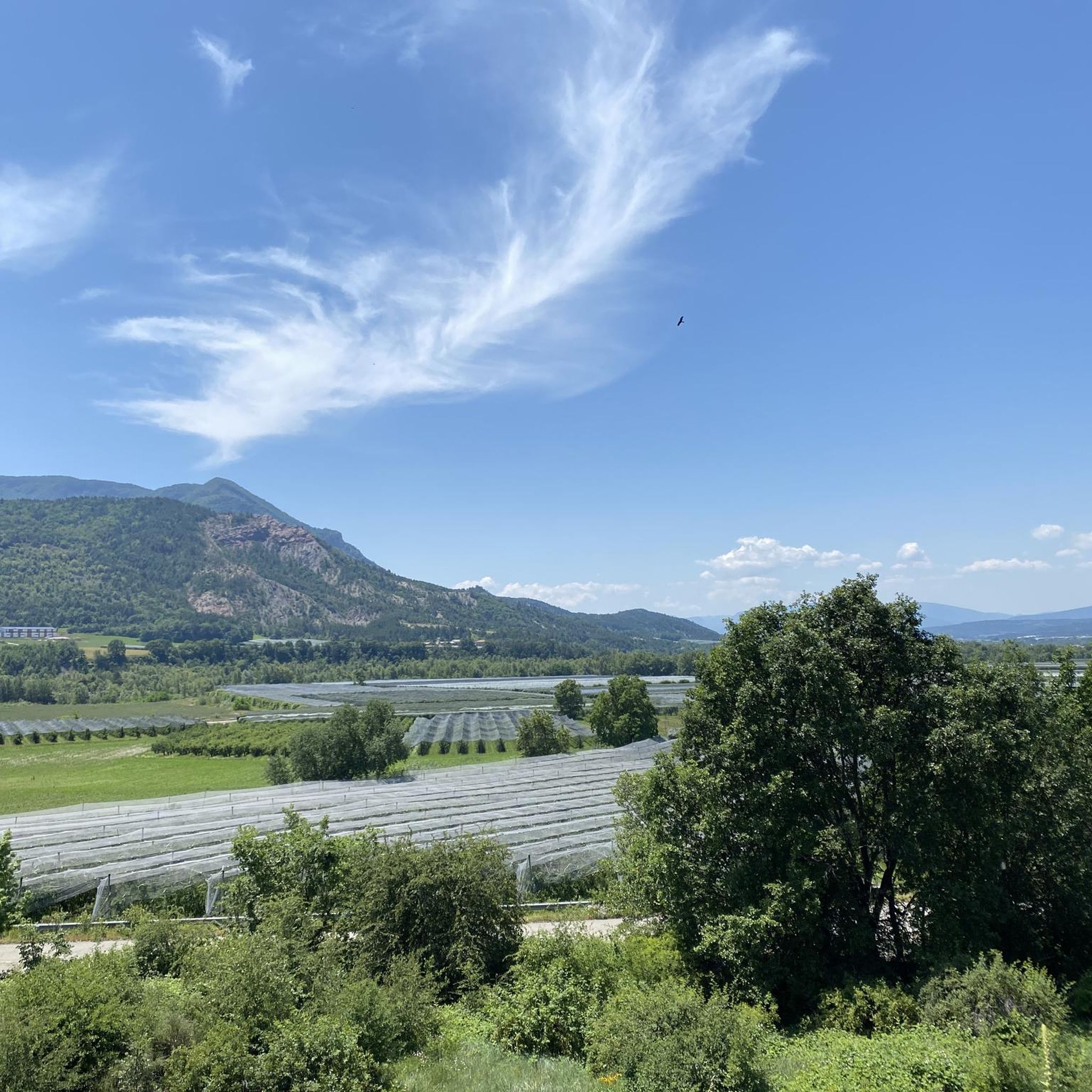
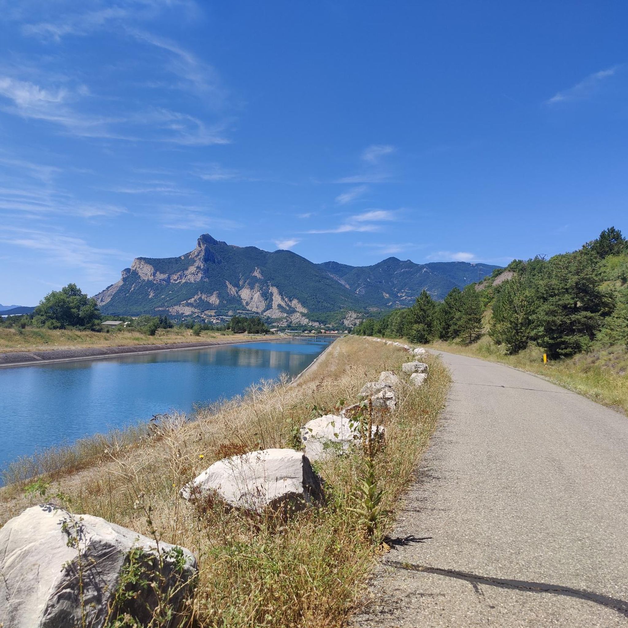
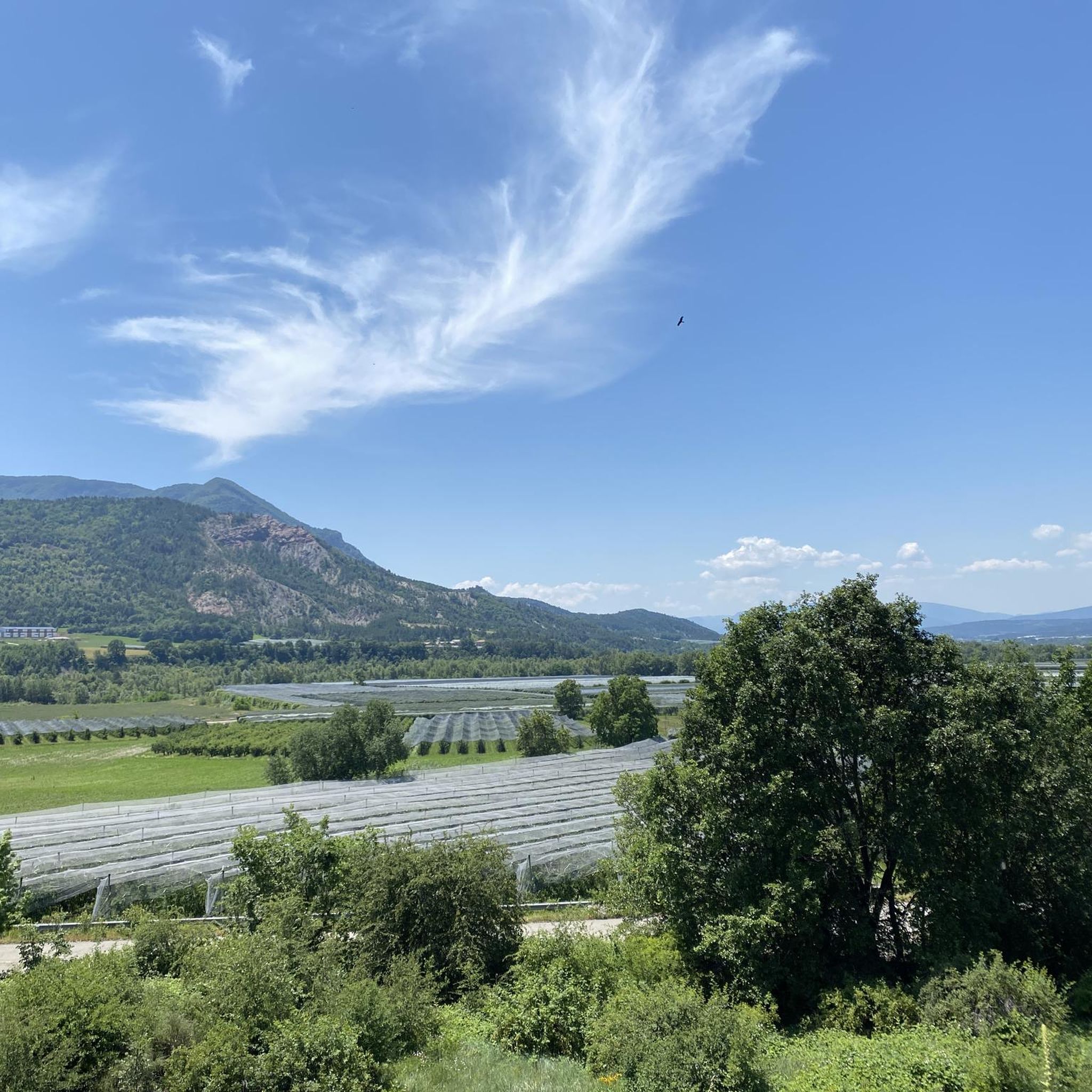
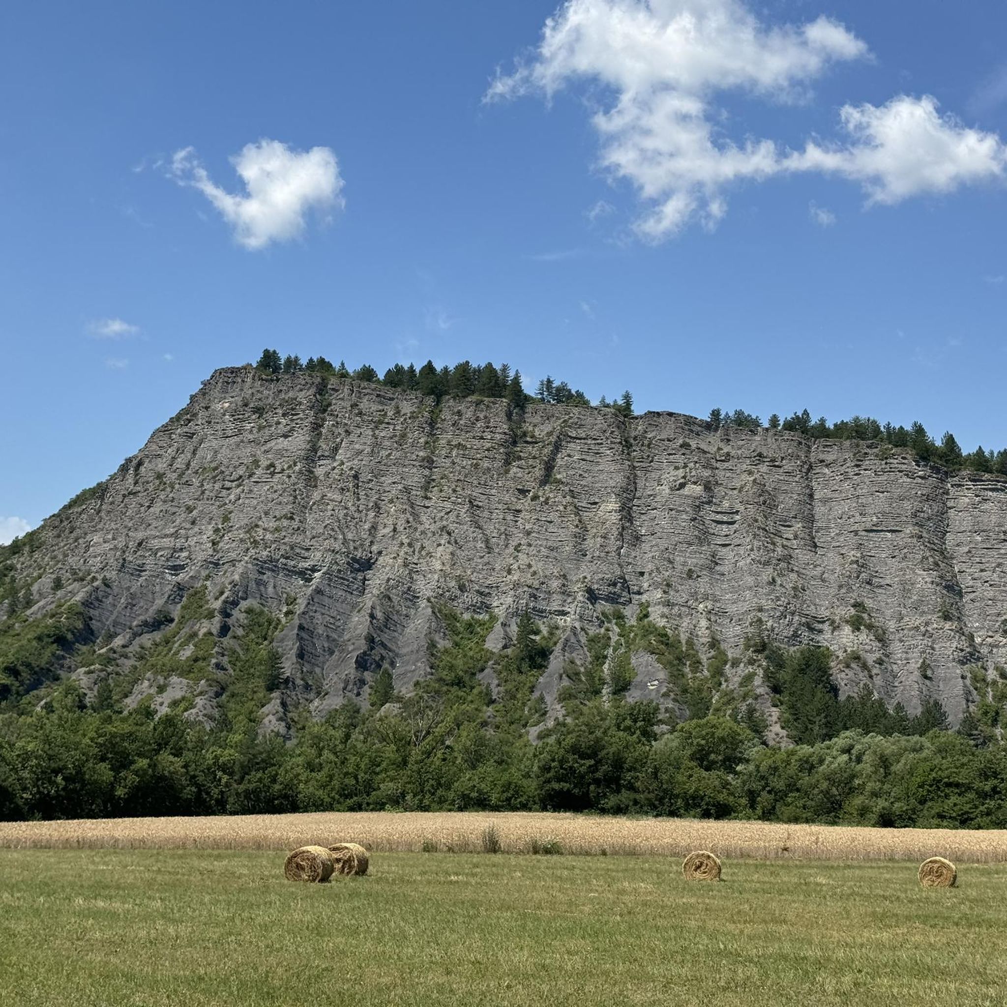
Road cycling routes around La Saulce offer diverse landscapes in the Southern French Alps, situated between high valleys and Southern Provence. The region features the Durance River valley and unique geological formations like marls, which create distinct mountain shapes. Road cyclists encounter varied terrain, from the scenic Col d'Espréaux to routes winding through the foothills of the Alps.
Best road cycling routes around La Saulce
- The most popular road cycling route is Sisteron Citadel – Place de la Fontaine, Die…
Last updated: July 27, 2026
4.4
(13)
243
riders
52.7km
02:46
910m
910m
Hard road ride. Very good fitness required. Mostly well-paved surfaces and easy to ride.
4.5
(4)
159
riders
116km
06:16
2,310m
2,310m
Hard road ride. Very good fitness required. Mostly well-paved surfaces and easy to ride.

Sign up for free
4.8
(5)
54
riders
87.8km
03:44
690m
690m
Moderate road ride. Good fitness required. Mostly well-paved surfaces and easy to ride.
5.0
(3)
28
riders
87.9km
03:59
740m
740m
Moderate road ride. Good fitness required. Mostly well-paved surfaces and easy to ride.
4.0
(1)
13
riders
53.3km
03:02
1,170m
1,170m
Hard road ride. Very good fitness required. Mostly well-paved surfaces and easy to ride.
Get access to more routes and recommendations from other explorers.
Sign up for free
Already have an account?
Our route recommendations are based on thousands of hikes, rides, and runs completed by other people on komoot.
Start today with a free account
Your next adventure awaits.
Login or Signup

Tips from the Community

Route with a good amount of positive elevation gain that is both rideable and sheltered from heavy traffic.
0
0

Road without traffic, great for cycling in peace.
12
0
The Castle of Tallard is one of the most important medieval monuments in the French Hautes-Alpes. It stands in the village of Tallard, about 20 km from Gap, in a dominant position over the Durance valley.
15
0
The Castle of Tallard is one of the most important medieval monuments in the French Hautes-Alpes. It stands in the village of Tallard, about 20 km from Gap, in a dominant position over the Durance valley.
16
0
Great way to stay out of traffic.
16
0
Old wooden cart adorned with flowers.
10
0
La Route de Tallard (D942) is one of the main roads in the Tallard area, in the Hautes-Alpes, and connects Tallard with the Buëch valley and towns like La Saulce and Gap. For cyclists, it is a much-used road as a link to numerous alpine itineraries.
9
0
You can safely drink the water here.
12
0
Frequently Asked Questions
How many road cycling routes are available around La Saulce?
La Saulce offers a wide selection of road cycling routes, with over 50 options available. These routes cater to various skill levels, including 5 easy, 34 moderate, and 15 difficult trails, ensuring there's something for every cyclist.
What kind of landscapes can I expect on road cycling routes near La Saulce?
The region around La Saulce is characterized by 'luminous landscapes' and magnificent views of the Southern French Alps. You'll encounter diverse terrain, from the Durance River valley to unique geological formations like marls, which create distinct mountain shapes. Routes often wind through high valleys and offer glimpses of Southern Provence.
Are there any challenging mountain passes for road cyclists near La Saulce?
Yes, La Saulce provides access to challenging and scenic routes within the Hautes-Alpes, a region renowned for its cycling. The Col d'Espréaux is particularly noted for its quiet roads and magnificent landscapes. The broader Hautes-Alpes region is home to legendary passes like Izoard, Granon, Galibier, and Lautaret, offering epic challenges.
What are some notable landmarks or attractions I can see along the road cycling routes?
Many routes offer cultural and natural points of interest. You can cycle past the historic Tallard Castle, a well-preserved 10th-century site. The Aqueduc des Sagnieres, a Roman aqueduct, is also accessible via a beautiful shaded path. For stunning natural views, the Espréaux Pass offers unique geological formations.
Are there any routes that offer views of the historic Sisteron Citadel?
Yes, the route Sisteron Citadel – Place de la Fontaine, Die loop from Tallard is a popular moderate 87.8 km (54.5 miles) trail that provides views towards the historic Sisteron Citadel.
Can I find routes that follow canals or offer views of Château de Tallard?
Absolutely. The route Along the canal – View of Château de Tallard loop from Fouillouse is a moderate 72.2 km (44.9 miles) path that follows a canal and provides scenic views of Château de Tallard. Another option is the shorter Tallard Castle – View of Château de Tallard loop from Fouillouse, a 28.4 km (17.6 miles) trail with similar views.
What do other road cyclists think about the routes in La Saulce?
The road cycling routes around La Saulce are highly regarded by the komoot community, holding an average rating of 4.6 out of 5 stars from over 60 reviews. Cyclists often praise the varied terrain, stunning Alpine views, and the network's suitability for different ability levels.
Are there any initiatives that make cycling more enjoyable in the region?
Yes, the 'Cols réservés' operation is a unique initiative in the Hautes-Alpes where legendary roads are closed to motorized traffic on specific summer mornings. This transforms them into vast open-air cycle paths, offering a peaceful and champion-like climbing experience.
Are there any long-distance touring opportunities from La Saulce?
From La Saulce, cyclists can access parts of the historic 'Route Napoleon' and the extensive 'Route des Grandes Alpes,' both offering excellent opportunities for long-distance touring through breathtaking scenery.
What is the best time of year for road cycling in La Saulce?
The region is best enjoyed during the warmer months, typically from spring through autumn. This period offers favorable weather conditions for tackling both the valley routes and the higher mountain passes. Summer also features special 'Cols réservés' events.
Can I find routes that are part of the Véloroute Trans'Alpes?
Yes, you can explore sections of the Véloroute Trans'Alpes. For example, the route Along the canal – Véloroute Trans'Alpes loop from Curbans is a moderate 59.2 km (36.8 miles) option that incorporates this network.
Are there any routes that include water points or facilities?
Some routes are designed with practical stops in mind. The Water point // de l'Eau potable – Water point // de l'eau potable loop from Fouillouse is a moderate 33.3 km (20.7 miles) route that specifically highlights accessible water points.
Most popular attractions around La Saulce

Get inspired with the komoot mobile app


Explore more
Browse the best Road cycling routes in other regions.
