The best running trails around Lans-En-Vercors
4.7
(41)
2,145
runners
94
runs
Jogging around Lans-En-Vercors offers diverse terrain within the Vercors Regional Natural Park. The landscape features mountains, limestone cliffs, and dense forests, providing varied running surfaces. Extensive plateaus and forest trails characterize the region, with elevations ranging from accessible paths to higher peaks. This environment supports a range of physical activities, including both casual jogging and challenging trail running.
Best jogging routes around Lans-En-Vercors
- The most popular jogging route is Saint-Michel Peak loop from Parking des Barnets, a 5.5 miles…
Last updated: October 4, 2026
4.5
(2)
100
runners
Hard run. Very good fitness required. Mostly paved surfaces. Suitable for all skill levels.
88
runners
Hard run. Very good fitness required. Sure-footedness, sturdy shoes and alpine experience required.

4.8
(4)
138
runners
7.73km
00:48
30m
30m
Moderate run. Good fitness required. Mostly paved surfaces. Suitable for all skill levels.
86
runners
Hard run. Very good fitness required. Mostly paved surfaces. Suitable for all skill levels.
73
runners
37.4km
05:47
1,890m
1,890m
Hard run. Very good fitness required. Sure-footedness, sturdy shoes and alpine experience required.
Get access to more routes and recommendations from other explorers.
Already have an account?
Our route recommendations are based on thousands of hikes, rides, and runs completed by other people on komoot.
Start today with a free account
Your next adventure awaits.
Popular around Lans-En-Vercors
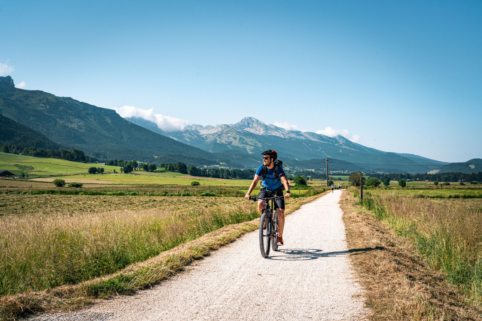
Vercors — the best gravel and mountain bike routes
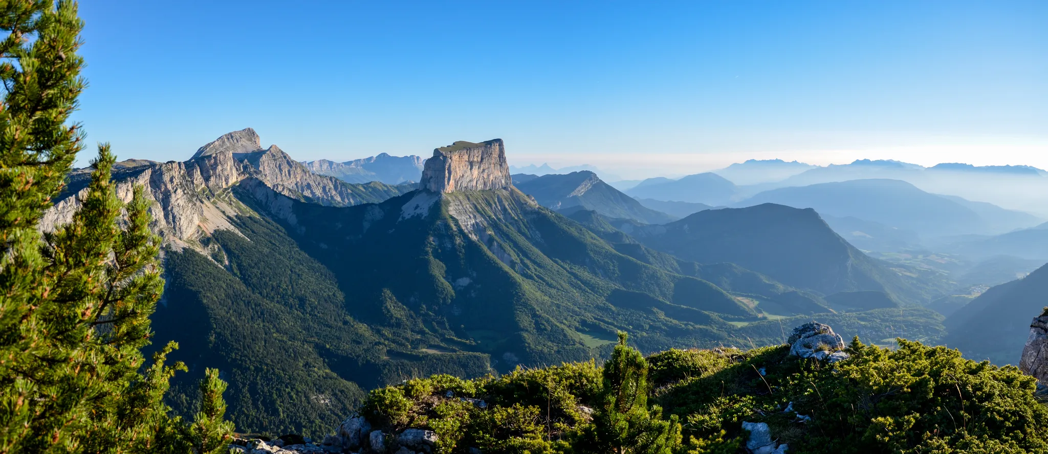
Grand Tour of the Vercors – first section
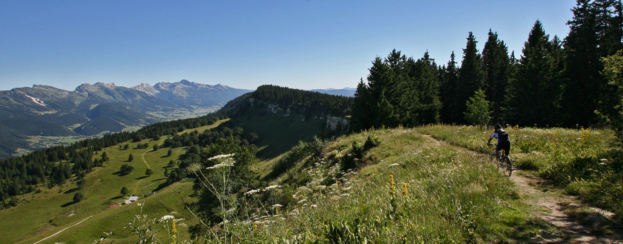
Legendary MTB routes in the bike paradise of Vercors Isère
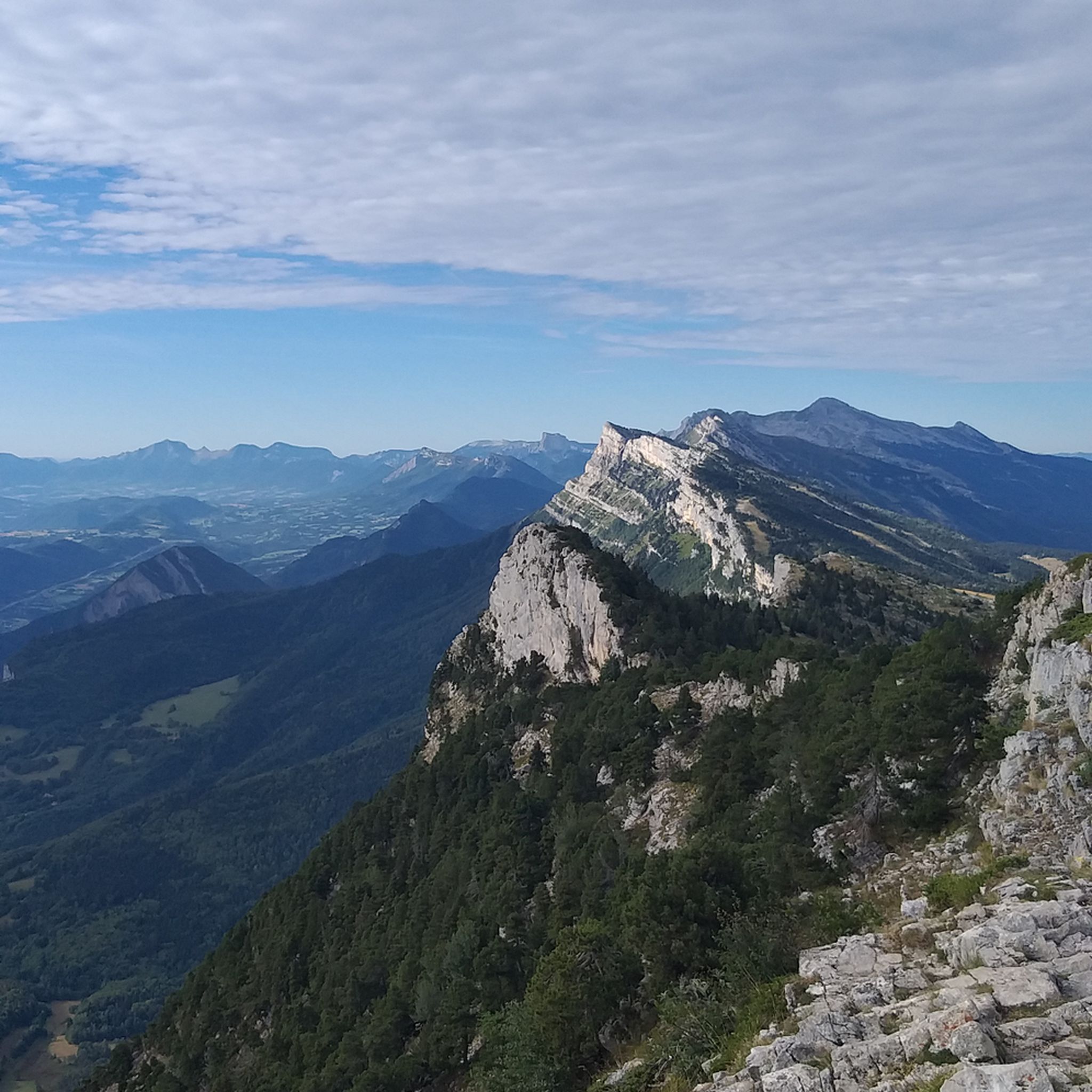
Hiking around Lans-En-Vercors
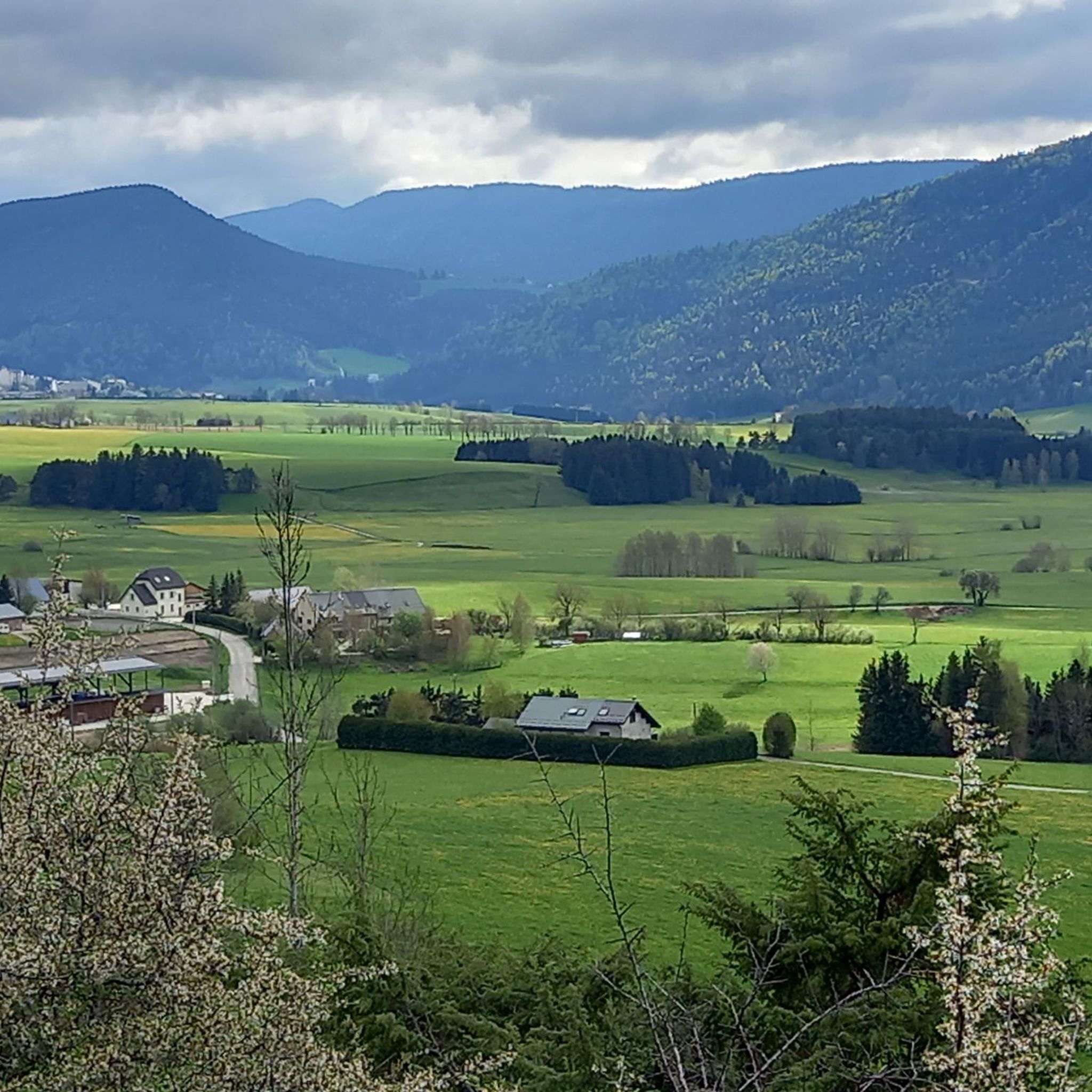
MTB Trails around Lans-En-Vercors
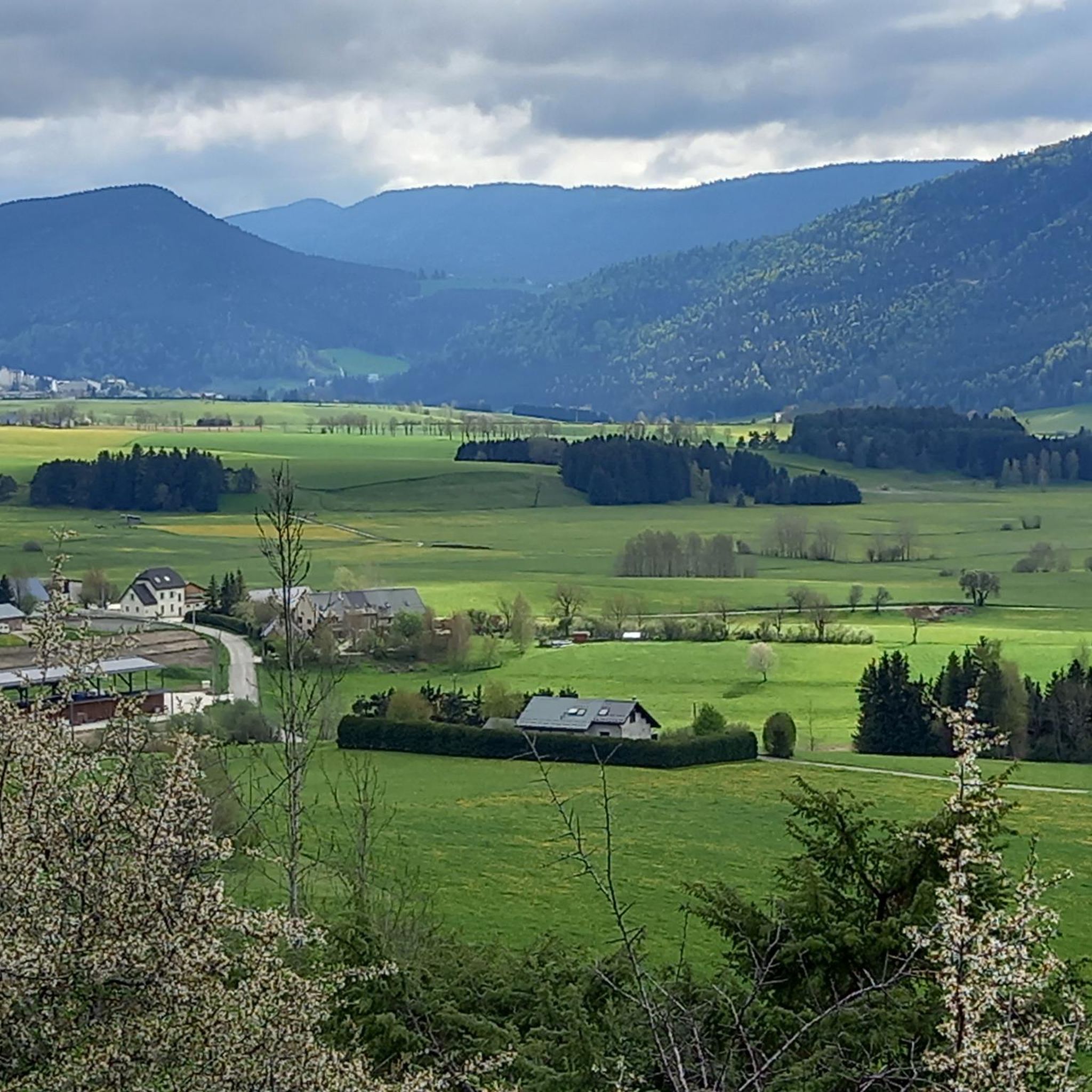
Cycling around Lans-En-Vercors
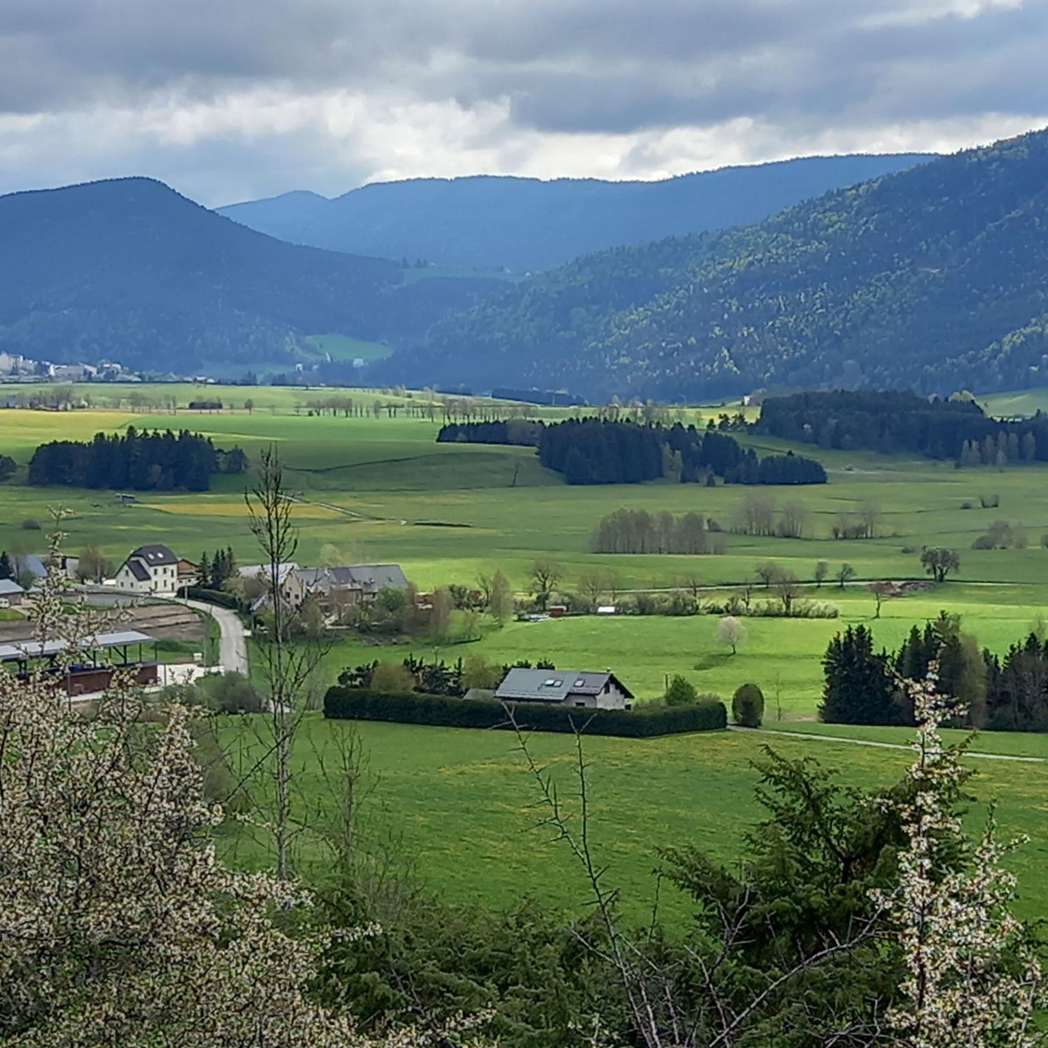
Road Cycling Routes around Lans-En-Vercors
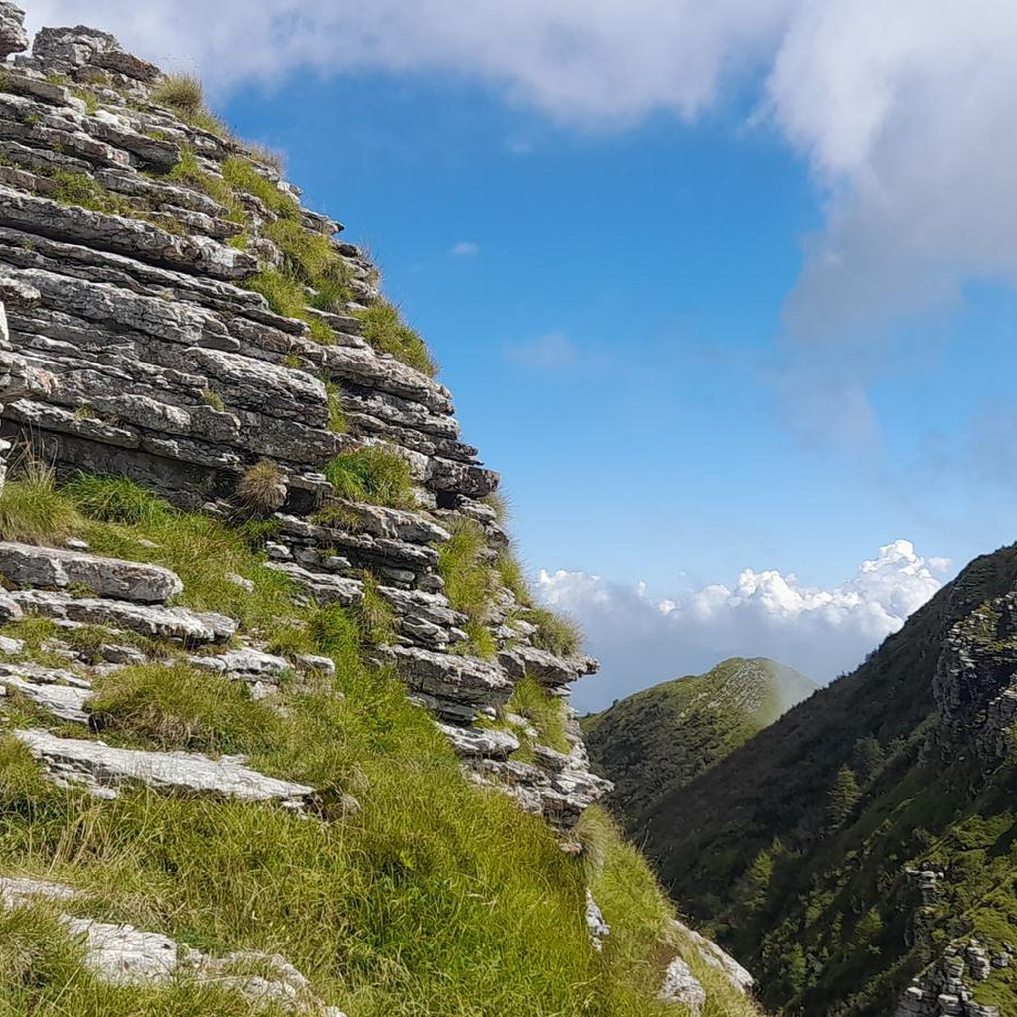
Gravel biking around Lans-En-Vercors
Mountain Hikes around Lans-En-Vercors
Other adventures around Lans-En-Vercors


Tips from the Community

It is an old station, this small building has a lot of charm
0
0

Superb gravel track to reach Lans-en-Vercors and Villars-de-Lans.
0
0

Simple and bucolic while being far from cars
1
0

Small town in the Vercors mountains, with a beautiful church and the square surrounding it. Many shops and restaurants, also geared towards winter sports. More information: https://de.wikipedia.org/wiki/Lans-en-Vercors?wprov=sfla1
0
0
Very interesting old train station building or tram station. Well used by the tourist information office. Two things are a shame, nowadays a good rail connection to the Vercors would be good. If not, then the development into an asphalted railway line cycle path would be much better.
0
0
It's a shame, why is the old tram route not paved? I rode it today with little luggage, but tomorrow in the direction of Grenoble I'll take the road instead.
0
2

Excellent hike with views of the Belledonne mountains and, if the weather is good, Mont Blanc. The climb to the Moucherotte is not particularly demanding, but the hike is very scenic and the view from the summit is a highlight. On the way down, you can take a detour over the dilapidated ski jump from the 1968 Olympics.
2
0

Shaded path, rather steep but the view of the 3 virgins is incredible!
1
0
Frequently Asked Questions
How many running routes are available in Lans-en-Vercors?
Lans-en-Vercors offers a wide selection of running routes, with nearly 100 trails available. These include a mix of easy, moderate, and difficult paths, ensuring options for every fitness level.
What kind of terrain can I expect on the running trails in Lans-en-Vercors?
The region provides diverse terrain, from vast plateaus and dense forest trails to more challenging mountain paths with limestone cliffs. You'll find a variety of surfaces, including dedicated pedestrian and cycling lanes like the Via Vercors, as well as rugged trails leading to summits.
Are there any running routes with panoramic views in the Vercors?
Absolutely! Many routes offer stunning vistas. For example, the Plateau des Ramées – The Moucherotte Summit loop from Montagnes de Lans Station provides breathtaking panoramic views from the Moucherotte summit. Another excellent option is the Saint-Michel Peak loop from Parking des Barnets, which offers views towards Pic Saint-Michel.
What are some notable natural features or landmarks I might see while running in Lans-en-Vercors?
While running, you can encounter dramatic landscapes of the Vercors Massif, including limestone cliffs and dense forests. Highlights like the La Molière Alpine Pasture offer superb panoramic views, and you might even spot the impressive 80-meter Pissarde waterfall in the wider Vercors area. The region is also known for its extensive plateaus and charming traditional houses.
Are there any easy or beginner-friendly running routes in Lans-en-Vercors?
Yes, Lans-en-Vercors has several easy running options. There are 8 routes specifically categorized as easy, perfect for beginners or those looking for a more relaxed run. The Via Vercors, for instance, offers gentle paths suitable for all abilities.
Can I find circular running routes in the area?
Many of the running routes in Lans-en-Vercors are circular, allowing you to start and finish at the same point. A popular example is the Lans-en-Vercors – ViaVercors via Lans-en-Vercors loop from Communauté de communes du Massif du Vercors, which takes you through the scenic Via Vercors.
What do other runners say about the trails in Lans-en-Vercors?
The running trails in Lans-en-Vercors are highly regarded by the komoot community, holding an average rating of 4.5 stars from over 25 reviews. Runners frequently praise the varied terrain, stunning natural beauty, and the well-maintained network of paths suitable for different skill levels.
Are there any specific facilities for trail running near Lans-en-Vercors?
Yes, nearby Villard-de-Lans has been a designated "Trail Station" since 2013. It offers 12 permanent, official, and marked trail routes ranging from 7km to 44km, catering to various fitness levels and providing magnificent panoramas.
What is the best time of year for running in Lans-en-Vercors?
Lans-en-Vercors is excellent for running during the warmer months, typically from spring through autumn, when the trails are clear of snow and the weather is pleasant. The summer months are ideal for enjoying the high-altitude pastures and panoramic views.
Are there any longer, more challenging running routes for experienced trail runners?
For experienced trail runners seeking a challenge, Lans-en-Vercors offers numerous difficult routes. An example is the Saint-Michel Peak loop from Lans-en-Vercors, which covers over 15 km with significant elevation gain, providing a demanding yet rewarding experience.
Can I find places to stay or eat near the running routes?
The Vercors region, including Lans-en-Vercors, offers various amenities for visitors. You can find accommodations and places to eat in the villages. Additionally, some routes pass by mountain huts or inns, such as the Allières Inn or La Molière Guesthouse, which can be convenient stops.
Most popular routes around Lans-En-Vercors
Most popular attractions around Lans-En-Vercors

Get inspired with the komoot mobile app


Explore more
Browse the best Running Trails & Routes in other regions.
