The best MTB trails around Marseillan
4.4
(531)
2,124
riders
54
rides
Mountain biking around Marseillan offers a network of routes primarily characterized by flat coastal paths and trails along the Étang de Thau lagoon. The terrain is generally gentle, with minimal elevation gain, making it accessible for various skill levels. Riders can expect views of the Mediterranean coastline, salt marshes, and vineyards.
Best mountain bike trails around Marseillan
- The most popular mountain bike trail is View of Sète – Port of Mèze loop from Marseillan-Plage, a 37.0 miles (59.5 km)…
Last updated: September 26, 2026
4.5
(202)
931
riders
59.5km
03:27
220m
220m
Moderate mountain bike ride. Good fitness required. Advanced riding skills necessary.
4.3
(72)
260
riders
Moderate mountain bike ride. Good fitness required. Suitable for all skill levels.

4.5
(23)
87
riders
41.7km
02:47
200m
200m
Moderate mountain bike ride. Good fitness required. Advanced riding skills necessary.
4.4
(18)
74
riders
39.6km
02:17
100m
100m
Moderate mountain bike ride. Good fitness required. Suitable for all skill levels.
4.5
(38)
144
riders
39.2km
02:31
160m
160m
Moderate mountain bike ride. Good fitness required. Advanced riding skills necessary.
Get access to more routes and recommendations from other explorers.
Already have an account?
Our route recommendations are based on thousands of hikes, rides, and runs completed by other people on komoot.



Tips from the Community

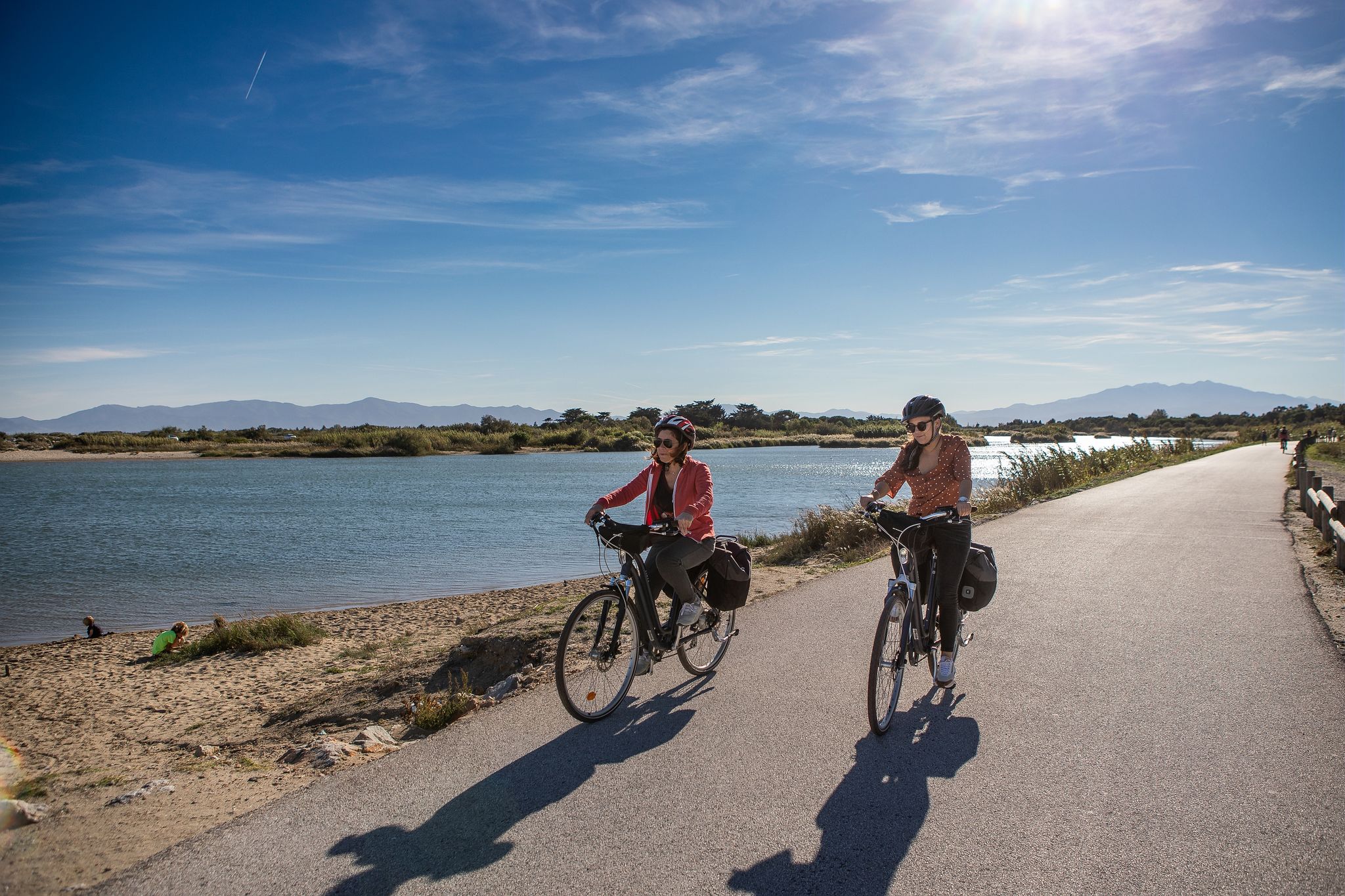
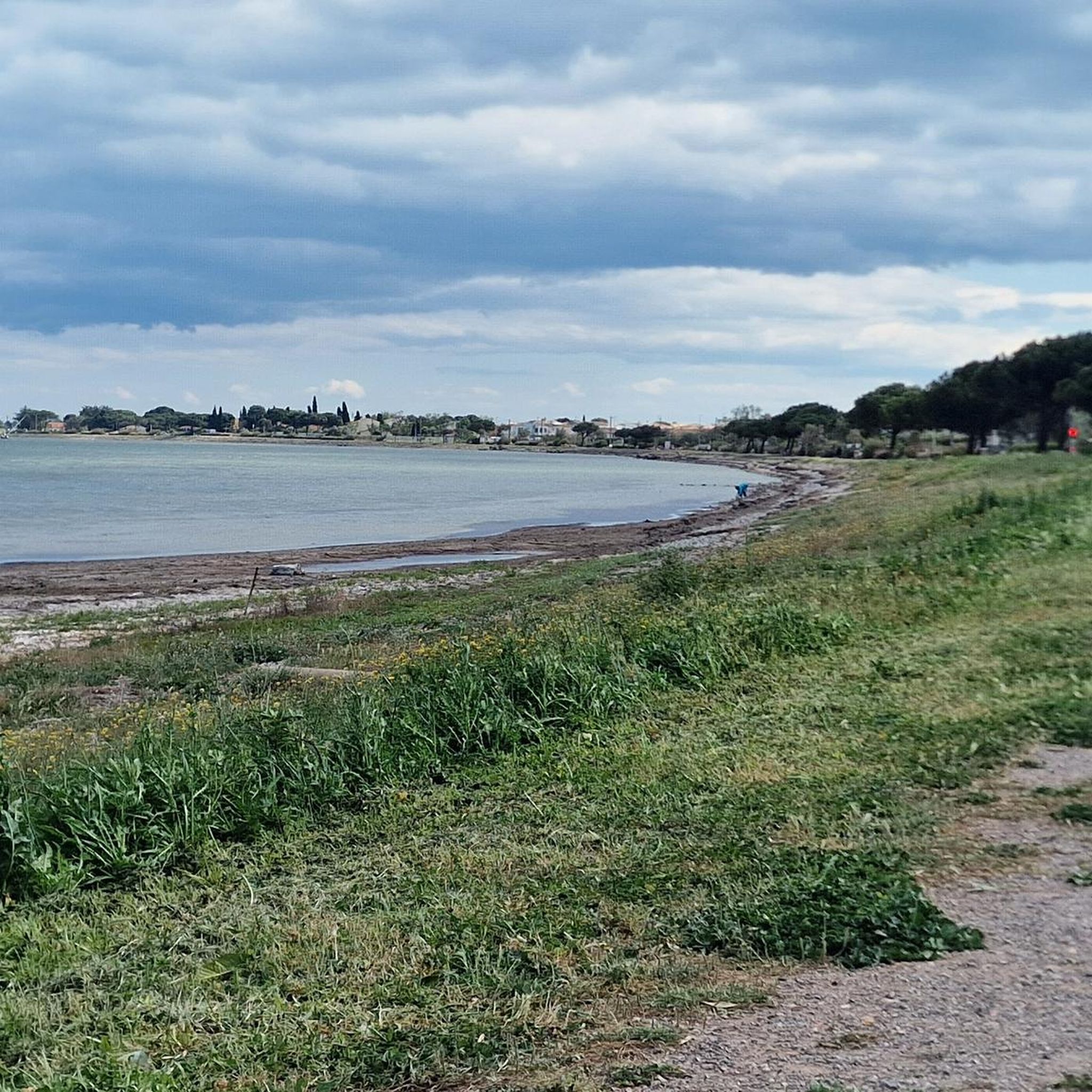
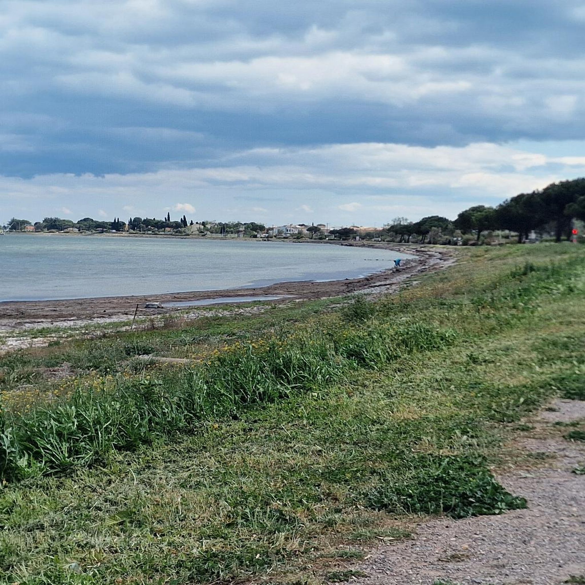
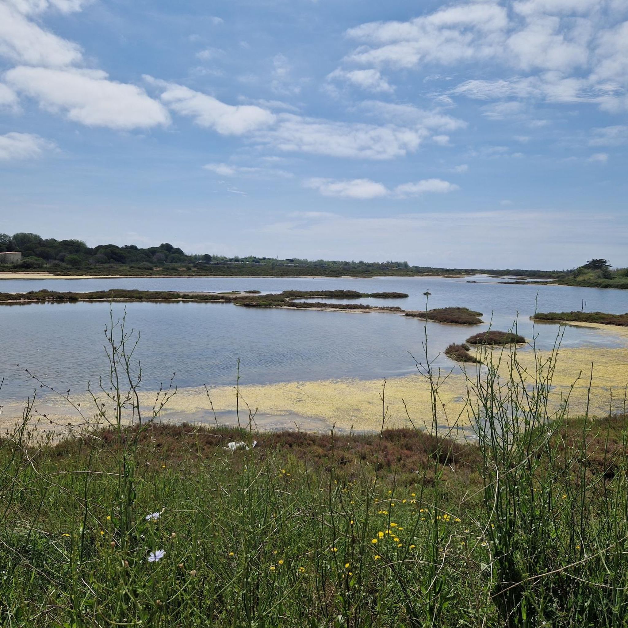
The greenway runs here on a narrow strip of land between the étang de la Moulière to the north and the Crique de l’Angle to the south. The latter is a natural cove located at the eastern end of the étang de Thau, where the fresh waters of the Vène meet the brackish waters of the lagoon. This wetland, classified as Natura 2000, is home to many water birds in particular.
0
0
The greenway runs here on a narrow strip of land between the Étang de la Moulière and the Crique de l’Angle. To the south, the view opens up beyond the Crique de l’Angle over the Étang de Thau, then over Sète, dominated by the silhouette of Mont Saint-Clair (183 m).
0
0

This remarkable structure composed of mobile aqueducts allows boats navigating the Canal du Midi to cross the small river Libron. Created in 1855 by Urbain Maguès, an engineer also responsible for the bridge-canal of Béziers.
0
0

🚲 Voie Verte du Lido – by bike from Marseillan-Plage to Sète The Voie Verte du Lido connects Marseillan-Plage with Sète and runs along the narrow coastal strip between the Mediterranean Sea and the Étang de Thau. 🌊🚲 Over about 13 kilometers, it's almost completely flat towards Sète. There are only about 20 meters of elevation gain – so you won't find any major climbs here. The asphalt bike path largely runs separate from car traffic, making it ideal for a relaxed ride. On one side lies the Mediterranean Sea with its kilometer-long sandy beaches and dunes, on the other the Étang de Thau. Along the way, you'll pass, among other things, the historic Redoute du Castellas and the Camping Le Castellas ★★★★ located directly on the sea. 🇫🇷 The quieter beach sections away from the main access points are particularly beautiful. In some places, it's much easier to get there on foot or by bike than by car – so you can still find surprisingly quiet corners even on this popular coast. 🏖️👌🏼 The Lido itself is also an important natural area. The narrow strip of land separates the Étang de Thau from the Mediterranean Sea and has been extensively redesigned in recent years to better protect the dunes and coast from erosion. 📍 Route: approx. 13.1 km 📈 Elevation gain: approx. 20 m 🚲 Surface: predominantly asphalt 🌊 Location: between the Mediterranean Sea and the Étang de Thau 🇪🇺 Long-distance cycle route: Part of the EuroVelo 8 / Méditerranée à Vélo connection And despite the low elevation gain, you shouldn't underestimate one opponent here: the wind. 😂💨 There is hardly any shelter on the open Lido – if it's coming straight at you, even 13 flat kilometers can suddenly feel quite sporty. A great coastal connection to Sète: sea, lagoon, dunes, beach, and almost no elevation gain – you could hardly travel the route between Marseillan-Plage and Sète any more beautifully. 🚲🌊👌🏼 Greetings Marcus ✌🏼
1
0
🌉 Pont des Trois Yeux – the bridge with the three eyes This unusual old stone bridge stands directly on the Canal du Midi. Its actual name is Pont Saint-Joseph, but it is best known as the “Pont des Trois Yeux” – Bridge of the Three Eyes. 🇫🇷 The name is immediately explained upon closer inspection: the bridge has three arches. The large central arch allowed boats to pass, while the two smaller openings served the water or the towing path at the time. The history of towing is particularly interesting: Before motorboats navigated the canal, the barges were primarily pulled by horses from the bank. 🐴 At many bridges, the tow rope had to be detached and reattached on the other side – such structures today still beautifully illustrate how shipping on the Canal du Midi worked in the past. Another special feature are the overflows on both sides of the bridge, through which excess water could be drained. Not a huge sight, but exactly one of those small historical structures that make a bike tour along the Canal du Midi so interesting. 🚲👌🏼 Greetings Marcus ✌🏼
0
0
⚓ Écluse du Bagnas – one of the last locks on the Canal du Midi The Écluse du Bagnas is located near Agde at the eastern end of the Canal du Midi. It was built around 1676 and is therefore one of the historic locks from the canal's early days. 📍 Canal kilometer: approx. 235.3 km from Toulouse ⚙️ Type: single lock with one chamber 🌊 Altitude: only about 2 meters above sea level 🚤 Distance to Les Onglous / Étang de Thau: only just under 5 km Historically, the lock chambers here were about 30 meters long and 6 meters wide at the gates. The eastern section of the Canal du Midi was later modernized for larger ships; today, the usable lock dimensions in this area are around 40.6 × 5.85 meters. Its location is particularly interesting: the Bagnas lock is situated in the middle of a wetland and separates different water areas here. Behind it, you are practically on the final straight of the Canal du Midi – via Les Onglous, the canal flows into the Étang de Thau, and from there, there is the connection towards Sète and the Mediterranean Sea. 🌊🇫🇷 After more than 235 kilometers of canal route, you have almost reached the Mediterranean Sea here – a small but historically interesting structure at the end of the Canal du Midi. 🚲👌🏼 Greetings Marcus ✌🏼
1
0
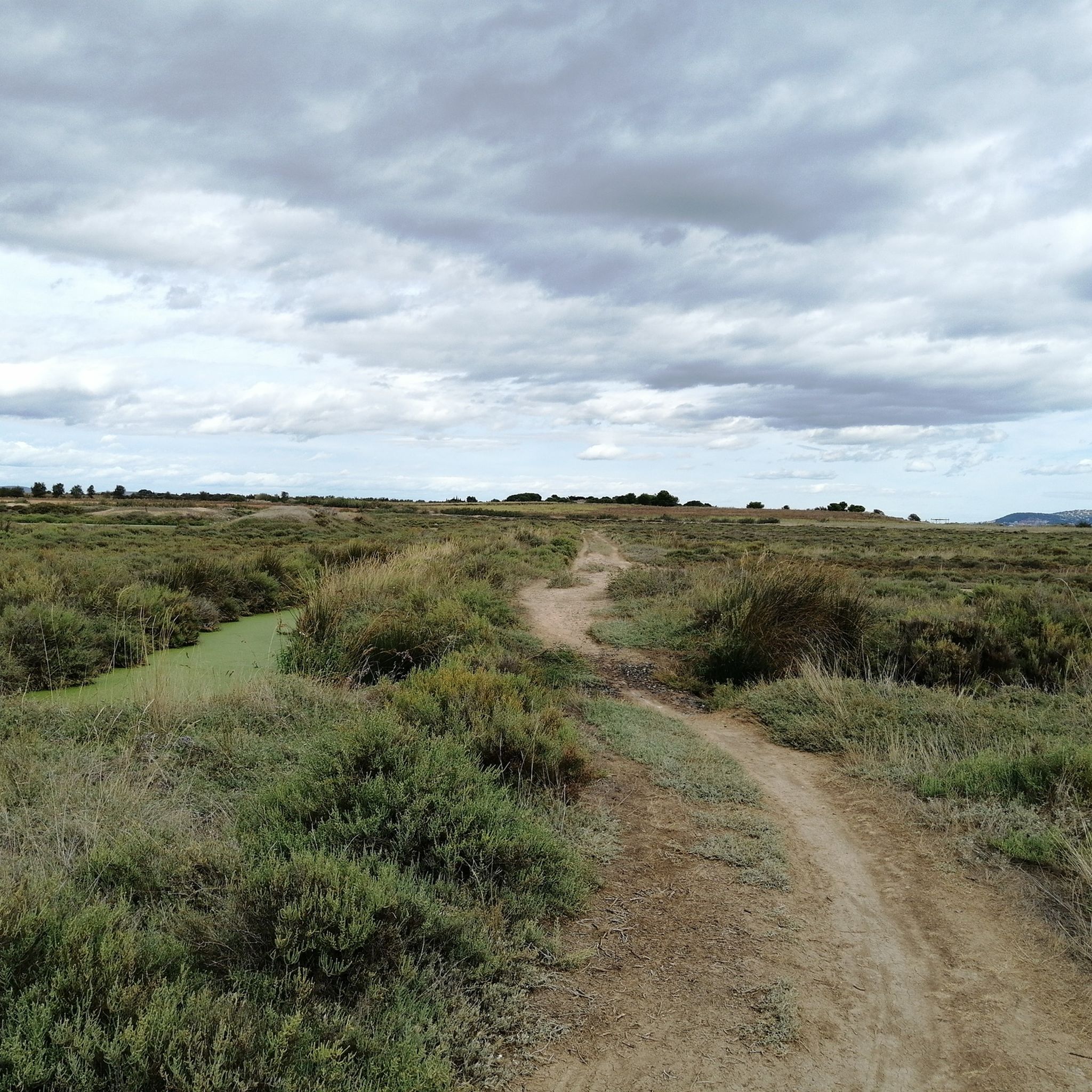
😂😂 Apparently, I was already thinking about the second cold blonde. 🫣🍺 🚲 On the Canal du Midi near Vias A really beautiful section on the Canal du Midi near Vias. Sometimes directly along the water, sometimes under shady trees, and in between on small, narrow paths through reeds and nature. 🌿🚲 The alternation between well-developed cycle paths, gravel, and small natural passages makes the route varied. In addition, there are always beautiful views of the canal, passing boats, and that typical relaxed atmosphere of Southern France. 🇫🇷☀️ Especially around Vias, the Canal du Midi can be wonderfully explored by bike – quiet, scenically beautiful, and definitely a section that is worth riding a little slower to enjoy the surroundings. 👌🏼 Greetings Marcus ✌🏼
1
0
Built around 1676, the Bagnas lock is a simple lock on the Canal du Midi, located between Agde and the Étang de Thau. It is one of the last structures on the canal before its outlet at Les Onglous, where the canal joins the lagoon. In the immediate vicinity of Bagnas, a vast coastal wetland, the lock is also associated with a spillway intended to drain excess water.
3
0
Frequently Asked Questions
How many mountain bike trails are there around Marseillan?
There are 44 mountain bike trails available around Marseillan. The majority are either easy (17 routes) or moderate (27 routes), making the area accessible for various skill levels.
What is the typical difficulty level for mountain biking in Marseillan?
Mountain biking in Marseillan is characterized by generally gentle terrain. Most routes are classified as easy or moderate, with no difficult trails listed in our current selection. This makes it suitable for riders looking for relaxed coastal rides and paths along the Étang de Thau.
Are there family-friendly mountain bike trails in Marseillan?
Yes, Marseillan offers several family-friendly mountain bike trails, primarily due to the flat coastal paths and routes along the Étang de Thau lagoon. These easy routes are perfect for a relaxed outing with children. An example is the Cap d'Agde – Cliffs and beaches loop from Marseillan-Plage, which is an easy 17.3-mile (27.8 km) path exploring the coastal landscape.
What is the best time of year for mountain biking in Marseillan?
The best time for mountain biking in Marseillan is typically during the spring (April to June) and autumn (September to October). During these months, the weather is pleasantly mild, and the trails are less crowded than in the peak summer season. Summer can be very hot, so early mornings or late afternoons are recommended if riding then.
Are there mountain bike trails that form a loop in Marseillan?
Yes, many mountain bike trails in Marseillan are designed as loops, offering convenient starting and ending points. For instance, the Lighthouse at Étang de Thau – Port of Mèze loop from Charlemagne is a moderate 24.3-mile (39.1 km) trail that takes you along the scenic lagoon shore.
What are some interesting sights or landmarks I can see along the mountain bike trails?
The trails around Marseillan offer views of the Mediterranean coastline, salt marshes, and vineyards. You can also encounter several notable attractions, such as the Lido Cycle Path from Sète to Marseillan, sections of the historic Canal du Midi, and various viewpoints overlooking the Étang de Thau.
Are there any hidden gem mountain bike trails in Marseillan?
While many trails offer beautiful scenery, the Voie Verte Canal du Midi – Bagnas Nature Reserve loop from Charlemagne is an easy 12.1-mile (19.5 km) route that provides a tranquil experience through the Bagnas Nature Reserve, offering a chance to observe local wildlife away from more crowded areas.
What do other mountain bikers enjoy most about the trails in Marseillan?
The mountain bike trails in Marseillan are highly rated by the komoot community, with an average score of 4.5 stars from over 400 reviews. Riders frequently praise the stunning views of the Étang de Thau, the well-maintained coastal paths, and the accessibility for various skill levels, particularly the flat and scenic routes.
Are there mountain bike routes that offer viewpoints?
Yes, many routes around Marseillan provide excellent viewpoints, especially those along the coast and the Étang de Thau. The View of Sète – Port of Mèze loop from Marseillan-Plage is a moderate 37.0-mile (59.5 km) trail specifically known for its expansive views of the Étang de Thau and the town of Sète.
How long are the mountain bike trails in Marseillan typically?
The mountain bike trails in Marseillan vary in length. For example, an easy route like the Castellas Redoubt – Robinson Beach loop from Marseillan is about 16.9 miles (27.2 km) and takes around 2 hours to complete. Longer, moderate routes, such as the View of Sète – Port of Mèze loop from Marseillan-Plage, can be up to 37.0 miles (59.5 km) and take approximately 3 hours 30 minutes.
Are there mountain bike trails near Marseillan with convenient parking?
Many mountain bike trails in Marseillan start from easily accessible points within or near the town, where parking is generally available. Routes often begin from Marseillan-Plage or Charlemagne, which are areas with public parking options, making it convenient to start your ride.
Most popular routes around Marseillan
Most popular attractions around Marseillan

Get inspired with the komoot mobile app


Explore more
Browse the best MTB trails in other regions.
