The best MTB trails around Pomérols
4.4
(200)
366
riders
30
rides
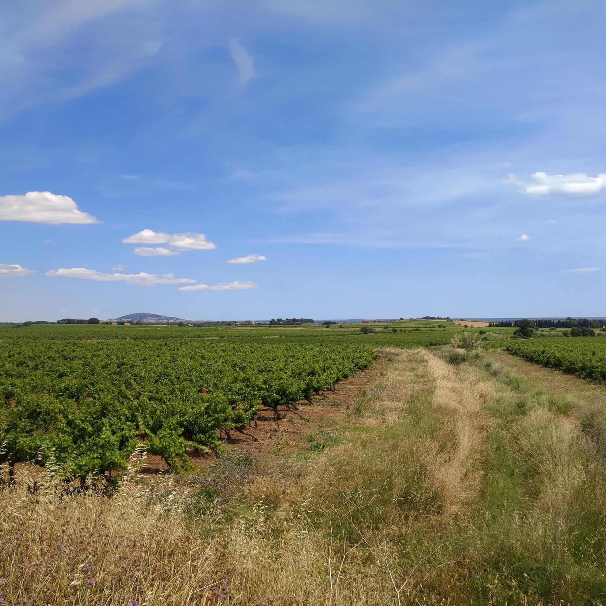
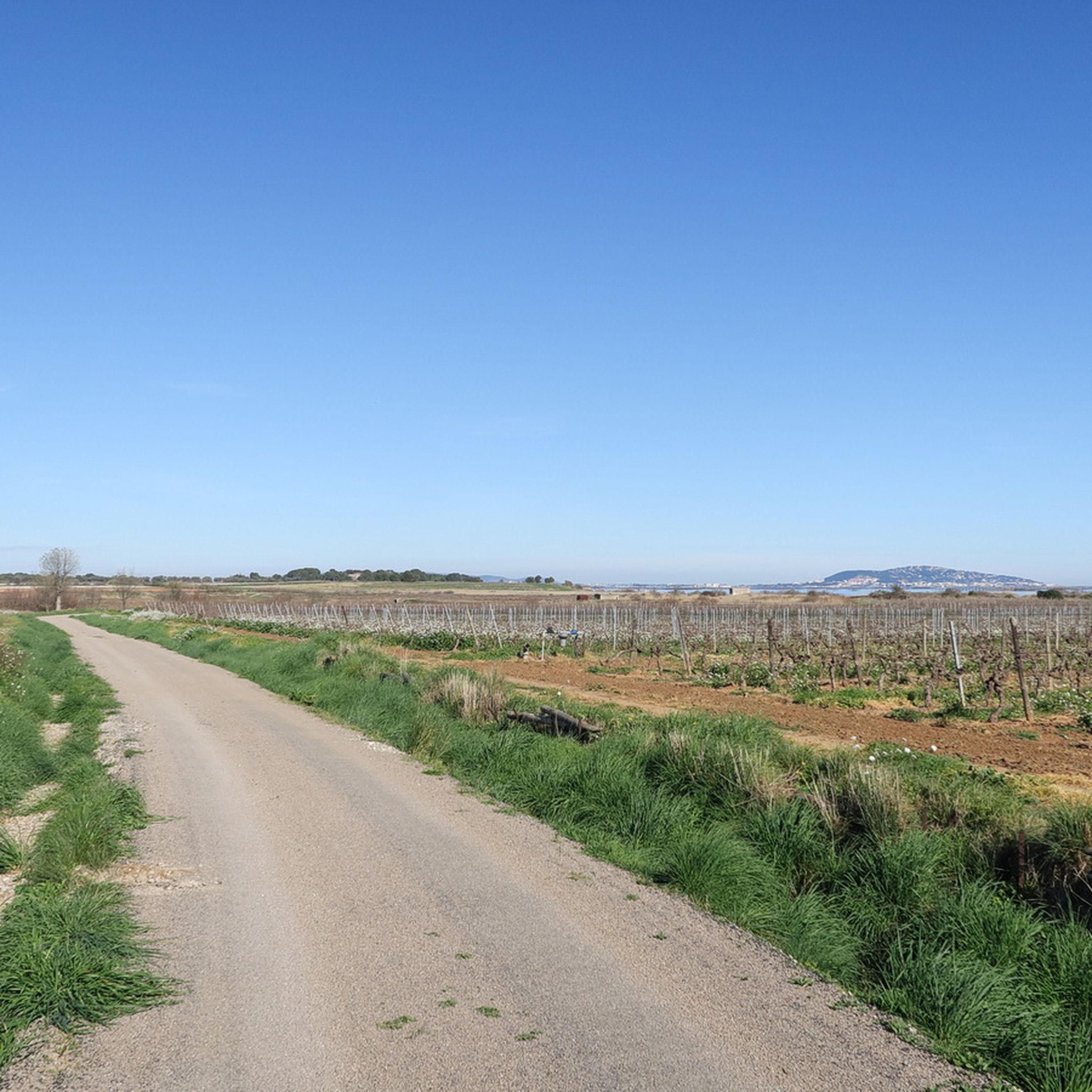
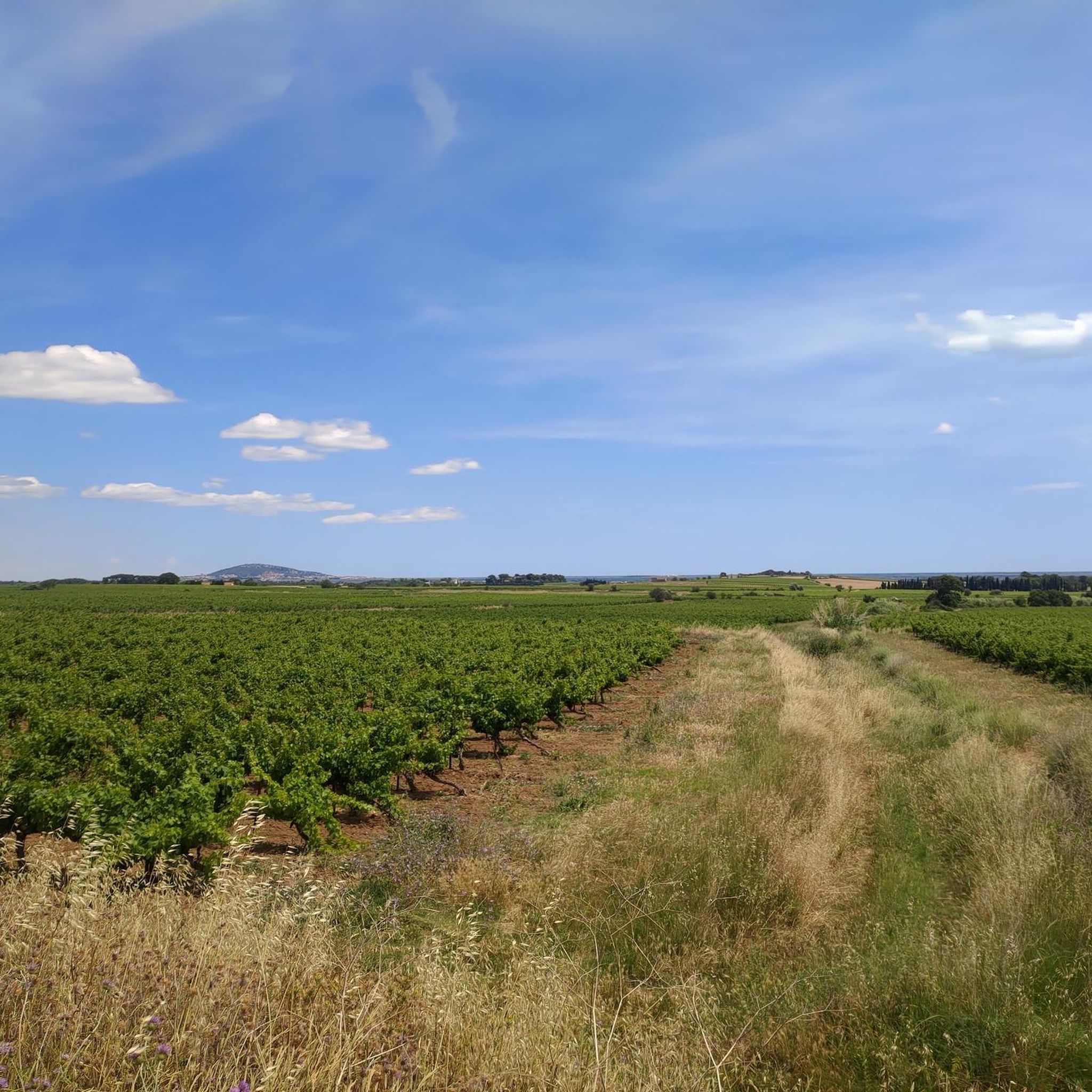
Mountain biking around Pomérols offers diverse terrain across vineyards, scrubland, and coastal plains. The region is characterized by its proximity to the Mediterranean Sea and the Étang de Thau, providing flat paths along the water and varied landscapes inland. Riders can explore the garrigue, a wild and preserved natural environment, alongside cultivated vineyards. The area's topography includes gentle undulations rather than significant peaks, making it accessible for various skill levels.
Best mountain bike trails around Pomérols
- The most popular mountain…
Last updated: November 6, 2026
4.6
(7)
69
riders
82.7km
05:50
600m
600m
Hard mountain bike ride. Very good fitness required. Advanced riding skills necessary.
4.5
(12)
41
riders
46.5km
02:49
170m
170m
Moderate mountain bike ride. Good fitness required.

4.5
(24)
25
riders
32.4km
02:37
360m
360m
Moderate mountain bike ride. Good fitness required.
4.5
(14)
24
riders
Moderate mountain bike ride. Good fitness required.
5.0
(23)
14
riders
32.6km
01:52
170m
170m
Easy mountain bike ride.
Get access to more routes and recommendations from other explorers.
Already have an account?
Our route recommendations are based on thousands of hikes, rides, and runs completed by other people on komoot.
Start today with a free account
Your next adventure awaits.

Tips from the Community

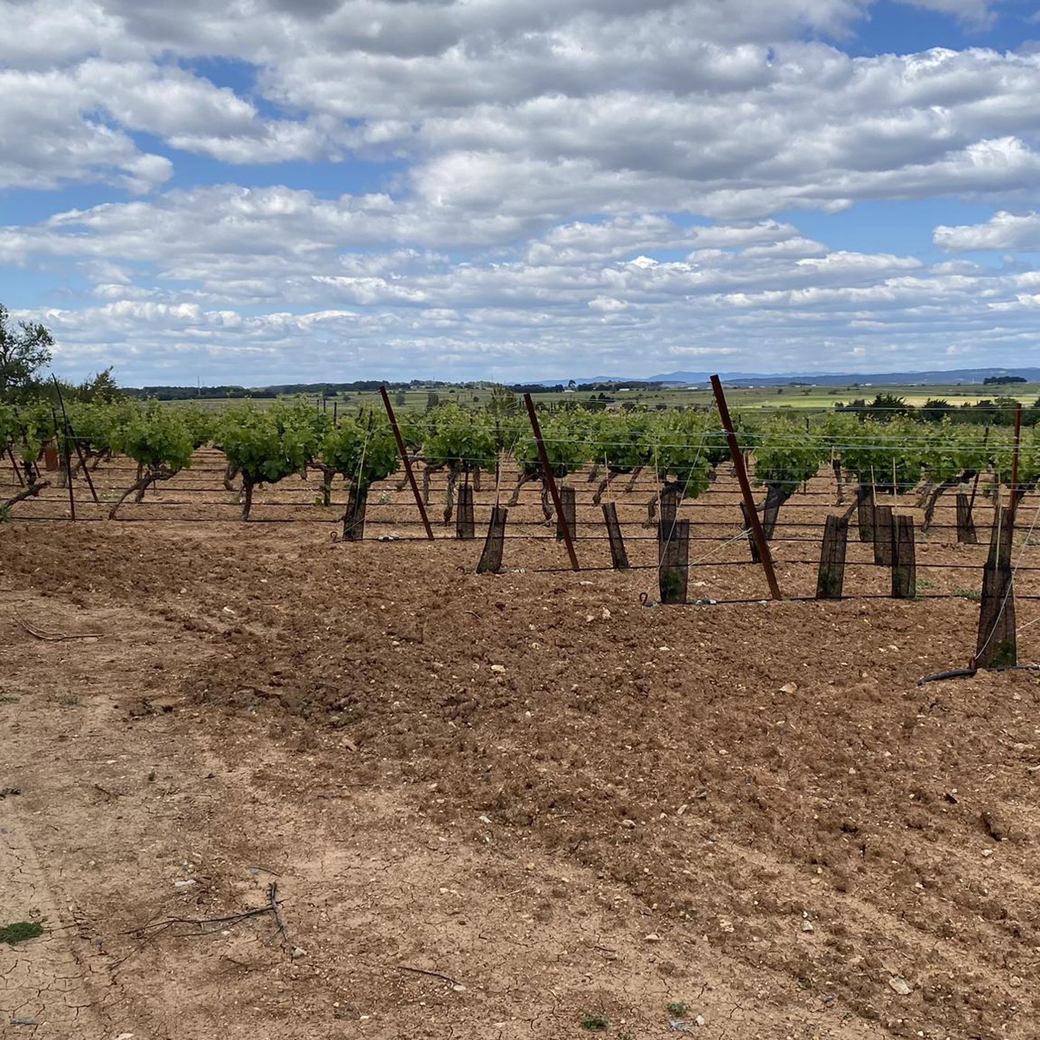
The terrain here takes on a reddish hue, but these rocks are not the ruffes of Salagou! These are continental sedimentary formations laid down in the Paleocene, about 65 to 61 million years ago. Deposited by ancient watercourses, the materials formed conglomerates, sandstones (the red gravel observed here), and marly limestones. Their reddish coloration is linked to the presence of iron oxides. The contrast with the ruffes (local name for the red rocks of Salagou) is as chronological as it is geological: formed in the Permian, about 271 million years ago, the ruffes are nearly 200 million years older. They result from the accumulation of fine sediments, notably clay and silt, in continental basins on periodically flooded plains. These deposits, subjected to alternating periods of flooding and drying, gradually consolidated into red pelites, the color of which is also linked to iron oxides.
2
0

The oyster farming in the Étang de Thau is world-renowned for the crisp "Huîtres de Bouzigues". Since there are no tides in the lagoon, the oysters grow hanging from ropes on fixed wooden racks in the water.
0
0

This medieval village, which appeared in the 11th century, had a strategic position, perched above the Hérault valley. Even today, its castle, fortifications, and towers give it a military appearance.
1
0
Beautiful view of the Saint-Etienne Cathedral (built from volcanic rock, basalt from Mont Saint-Loup) and the Hérault river.
2
0
About 2.5 km east of Castelnau-de-Guers, in the heart of the pines, this small chapel preserves the memory of a place much older than itself. The site is attested as early as 1106 under the name Ecclesiam S. Nicholay de Talpussiac. Archaeological surveys carried out in 1992 also revealed nearby the remains of a rural settlement from late antiquity, testifying to an ancient occupation of the area. The current chapel, with an oblong plan, is much more recent: it was consecrated in 1819 and is now disused. It is located on the edge of the fishmonger's path (cami peissonier), an ancient route connecting the Étang de Thau area to Pézenas.
3
0

🌊 The Hérault – a river with history 🇫🇷 The Hérault is located in the South of France and even gives its name to the entire Hérault department. It is around 148 kilometers long and originates in the Cévennes at Mont Aigoual. From there, it flows south until it finally flows into the Mediterranean Sea near Grau d’Agde. Since antiquity, the river has played an important role. The Romans knew it by the name „Arauris“. Settlements, agriculture, and trade routes emerged along its course. A particularly impressive testament to this era is the Pont du Diable near Saint-Guilhem-le-Désert – one of the oldest medieval bridges in France. Over the centuries, the Hérault was used for agriculture, irrigation, fishing, and transport. Its lower section near Agde is particularly interesting: here, the Hérault meets the Canal du Midi, which has provided an important water connection between the Mediterranean Sea and the Atlantic since the 17th century. Just before the Mediterranean, the river finally divides Agde and Grau d’Agde, shaping the landscape around the coast. Even today, you can see fishing boats, small ferries, and numerous leisure boats there. ⛵ What makes the Hérault special for us: You can encounter it by bike for many kilometers, time and again – sometimes in the middle of nature, sometimes at small harbors and restaurants, and finally where it flows into the Mediterranean Sea. 🚲🌊🇫🇷 A river that has shaped the history and landscape of this region for centuries. Greetings, Marcus
2
0
🌊 The last meters of the Hérault The last 500 meters of the Hérault to the Mediterranean Sea are particularly beautiful: along the bank in Grau d’Agde, small shops, restaurants, and terraces with a view of the river line up. 🍽️⚓🌊 Here you can have a leisurely meal, watch the boats, or simply stroll along the water. Various boat tours also start from here, including towards the Canal du Midi, Étang de Thau, and Cap d’Agde. ⛵ And finally, after about 148 kilometers, the journey of the Hérault ends – it flows directly into the Mediterranean Sea. 🇫🇷🌊 For us, one of the most beautiful sections: water, boats, small restaurants, and at the end, the view of the open sea. ❤️
2
0

Very pretty footbridges over the Étang de Thau
1
0
Frequently Asked Questions
How many mountain bike trails are available around Pomérols?
There are over 20 mountain bike trails around Pomérols, offering a variety of experiences for different skill levels.
What kind of terrain can I expect on mountain bike trails around Pomérols?
The terrain around Pomérols is diverse, featuring vineyards, wild scrubland (garrigue), and coastal plains. You'll find gentle undulations rather than steep climbs, with some routes also following sections along the Canal du Midi and near the Mediterranean coast.
Are there easy mountain bike trails suitable for beginners in Pomérols?
Yes, Pomérols offers 8 easy mountain bike routes. An example is the Magnificent chapel loop from Pomérols, which is 20.1 miles (32.4 km) long and takes about 1 hour 50 minutes to complete. Another easy option is the Magnificent chapel – Saint-Thibéry Roman Bridge loop from Pomérols, covering 19.1 miles (30.8 km).
What natural features or landmarks can I see while mountain biking near Pomérols?
You can explore various natural features and landmarks. The Thau Lagoon is a significant natural feature, offering opportunities to observe local fauna and flora. You might also encounter the Lido Cycle Path from Sète to Marseillan, known for its scenic coastal views, and sections along the historic Canal du Midi.
What do other mountain bikers say about the trails in Pomérols?
The mountain bike trails in Pomérols are highly rated by the komoot community, with an average score of 4.6 stars from over 140 reviews. Riders often praise the varied landscapes, from vineyards to coastal paths, and the well-maintained routes.
Are there any circular mountain bike routes in Pomérols?
Yes, many of the mountain bike routes in Pomérols are circular. For instance, the La Font du Loup – The Fairy Stretcher loop from Pomérols is a moderate 19.1 miles (30.8 km) circular path that winds through garrigue and open fields.
Are there family-friendly mountain bike trails in Pomérols?
While specific 'family-friendly' designations aren't always available, the region's easy and moderate trails, especially those along the Canal du Midi like the Voie Verte Canal du Midi, are generally suitable for families. These routes are often flat and have good surfaces, though a spring-loaded front fork is recommended for comfort.
Can I bring my dog on the mountain bike trails around Pomérols?
Many natural trails in France are dog-friendly, especially if your dog is well-behaved and kept on a leash. However, always check local signage for any specific restrictions, particularly in protected natural areas or during certain seasons.
What is the best time to visit for mountain biking in Pomérols?
The Mediterranean climate of Pomérols makes spring and autumn ideal for mountain biking, offering pleasant temperatures and less crowded trails. Summer can be hot, especially midday, so early morning or late afternoon rides are preferable then.
Is there public transport access to the mountain bike trails in Pomérols?
Public transport options directly to specific trailheads might be limited in a village like Pomérols. However, regional buses or trains connect to larger towns like Agde or Sète, from which you might be able to cycle to trail access points, especially those along the coast or the Canal du Midi.
Where can I find parking for mountain biking in Pomérols?
Parking is generally available in and around Pomérols village. For specific trailheads, it's advisable to check the starting points of individual routes on komoot, as many tours begin from accessible village parking areas or designated spots near natural attractions.
Are there places to eat or stay near the mountain bike trails in Pomérols?
Pomérols and its surrounding villages like Marseillan, Mèze, and Pézenas offer various cafes, restaurants, and accommodation options. Many establishments cater to tourists and cyclists, providing a good base for your mountain biking adventures.
Are there any longer, more challenging mountain bike routes for experienced riders?
Yes, for experienced riders seeking a challenge, there is one difficult route available. The The Fairy Stretcher – La Font du Loup loop from Pomérols is a substantial 50.6 miles (81.5 km) trail that takes approximately 5 hours 41 minutes to complete, traversing varied landscapes of vineyards and scrubland.
Most popular attractions around Pomérols

Get inspired with the komoot mobile app


Explore more
Browse the best MTB trails in other regions.
