The best road cycling routes around Pardailhan
4.7
(122)
2,187
riders
64
rides
Road cycling around Pardailhan features a landscape characterized by rolling hills and several notable passes, offering varied terrain for cyclists. The region includes routes that navigate around bodies of water, such as Lac de la Raviège, and ascend through areas with significant elevation changes. This composition provides a mix of challenging climbs and scenic descents, making it suitable for road cyclists seeking diverse experiences.
Best road cycling routes around Pardailhan
- The most popular road cycling route is Tour of Lac de la Raviège, a 42.4 miles (68.3 km) trail that takes 3 hours 5 minutes to complete. This difficult route offers extensive riding around the lake with significant elevation gain.
- Another top favourite among local road cyclists is Vision – Fontfroide Pass loop from Saint-Pons-de-Thomières, a difficult 33.4 miles (53.7 km) path. This route includes substantial climbs and descents as it traverses the Fontfroide Pass.
- Local road cyclists also love the Cabarétou Pass loop from Riols, a 21.9 miles (35.3 km) trail leading through the Cabarétou Pass, often completed in about 1 hour 58 minutes.
- Road cycling around Pardailhan is defined by challenging passes, scenic lake routes, and rolling hills. The network offers options for different ability levels, from moderate loops to difficult, long-distance rides.
- The routes in Pardailhan are highly rated by the komoot community with an average score of 4.7 stars from over 100 reviews. More than 2,000 road cyclists have used komoot to explore Pardailhan's varied terrain.
Last updated: September 27, 2026
4.5
(2)
24
riders
68.3km
03:05
1,460m
1,460m
This difficult 42.4-mile road cycling loop around Lac de la Salvetat offers 4793 feet of elevation gain through diverse landscapes.
5.0
(5)
101
riders
53.9km
03:08
1,170m
1,170m
Hard road ride. Very good fitness required. Some segments of this route may be unpaved and difficult to ride.

4.7
(3)
40
riders
35.9km
02:00
780m
780m
Moderate road ride. Good fitness required. Some segments of this route may be unpaved and difficult to ride.
5.0
(2)
29
riders
60.7km
03:21
1,130m
1,130m
Hard road ride. Very good fitness required. Mostly well-paved surfaces and easy to ride.
61
riders
62.8km
02:51
560m
560m
Moderate road ride. Good fitness required. Some segments of this route may be unpaved and difficult to ride.
Get access to more routes and recommendations from other explorers.
Already have an account?
Our route recommendations are based on thousands of hikes, rides, and runs completed by other people on komoot.
Start today with a free account
Your next adventure awaits.

Tips from the Community

The former Saint-Pons Cathedral It is difficult to understand Saint-Pons-de-Thomières without stopping here. The building is the former abbey church of a Benedictine monastery founded in 936, around which the town developed. In 1318, the abbey became the seat of a new bishopric: the church then took on the status of a cathedral, which it retained until the Revolution. The Romanesque building, most of which dates back to the second half of the 12th century, still bears the traces of this turbulent history. Fortified in the Middle Ages, the cathedral was heavily damaged in 1567 during the Wars of Religion. Then, in the 18th century, its appearance was profoundly transformed: in 1716, the orientation of the choir was reversed and a new classical facade was built to the east. The medieval remains are particularly remarkable: the two crenellated towers on the north facade recall the defensive character of the building, while the former west facade preserves precious Romanesque reliefs depicting, in particular, the Last Supper, the Washing of the Feet, the Ascension and the Crucifixion. Inside, there are also marble decorations, choir stalls and an organ dating from 1772.
2
0
In the heart of the village stands the church of the Invention of Saint Stephen (l’église de l’Invention-de-Saint-Étienne), named in reference to the discovery of the relics of Saint Stephen, the first martyr of Christianity. The current building mainly dates from the 18th century, but its bell tower base is older. Its bell, cast in 1719, bears witness to this long history. Around the church, ancient tombs covered with flagstones also remain, a characteristic element of the funerary heritage of the Hautes Terres de l’Hérault. The village itself was formerly called "Mas de l’Église" and depended on the neighboring parish of Prémian. It was only after the Revolution that Saint-Étienne-d’Albagnan became an independent commune.
2
0
The church of the Nativity of Saint John the Baptist bears witness to the gradual shift of the religious heart of Saint-Jean-de-Minervois. For centuries, parish life was linked to the Saint-Jean de Dieuvaille chapel, now nicknamed "the church of the Hole", isolated in a canyon between the hamlets of Gimios and Barroubio. At the beginning of the 18th century, the current village became the new center of the community, around this current parish church.
2
0
Clinging to a rocky outcrop almost encircled by the Jaur, Olargues is a remarkable fortified village whose medieval organization is still perfectly legible. At the summit, the former keep of the castle, transformed into a bell tower in the 17th century after the fortress was destroyed on Cardinal Richelieu's orders, still dominates the valley. Below, the Devil's Bridge, built in the 12th century, has spanned the Jaur for nearly nine centuries. Between the two, "calades" (cobbled alleyways) and old houses invite you to step back in time. It is easy to understand why Olargues is among the Most Beautiful Villages in France!
2
0
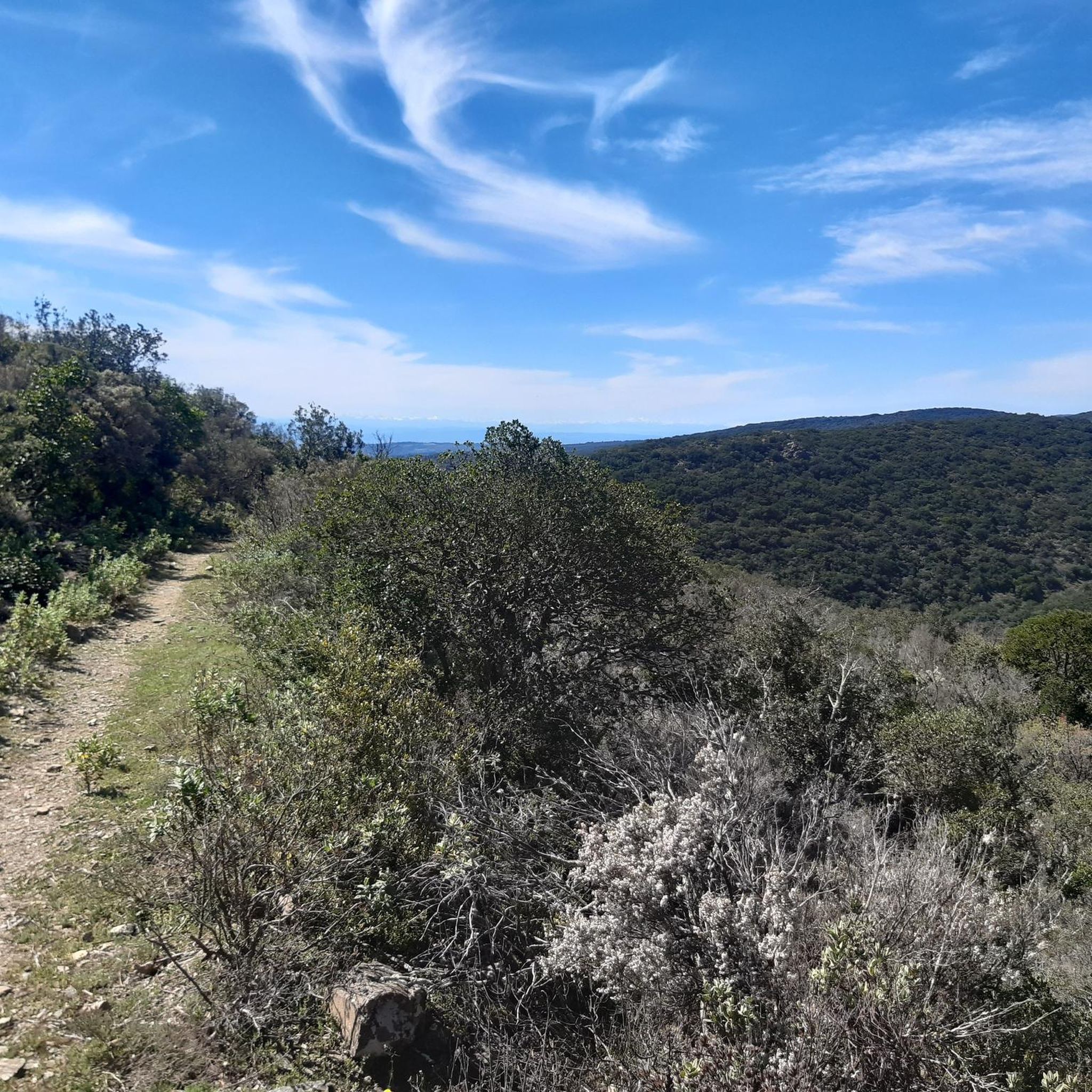
The D57 descends towards Riols through a quiet and shaded forest road, between gentle bends and the wooded atmosphere of the Haut-Languedoc. A pleasant section transitioning to the valley.
2
0
Located in the Jaur valley, in the heart of the Hauts cantons of the Hérault, Riols is a vast rural village typical of the Haut-Languedoc. The village is intimately linked to the history of the abbey of Saint-Pons-de-Thomières, founded in the 10th century, on which it long depended. From the Middle Ages onwards, Riols was part of a network of monastic possessions. Even today, the old center retains its valley setting, crossed by the Jaur, around which the main routes and activities developed. The Pont-Vieux and several structures on the river bear witness to this close relationship between the village and its watercourse.
2
0
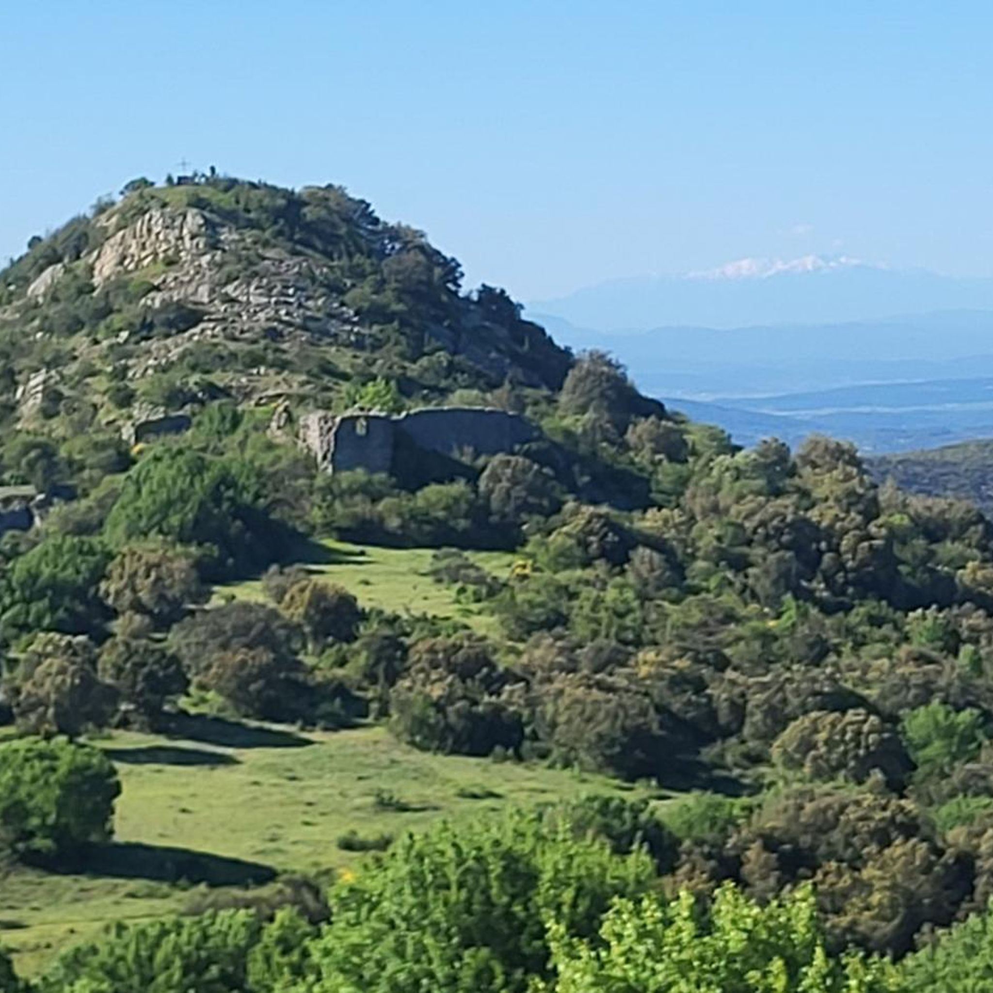
This wide turn reveals a superb panorama of the mountain. In the foreground, the D14 winds up the slope with beautifully drawn switchbacks. Further on, several characteristic reliefs of the Haut-Languedoc stand out, succeeding each other to the horizon. One of the most beautiful panoramas of the ascent!
2
0

On the way to Assignan, a beautiful road to a lovely village. I wouldn't miss a cup of coffee here.
0
0
Frequently Asked Questions
How many road cycling routes are available around Pardailhan?
Pardailhan offers a diverse network of over 70 road cycling routes. These routes cater to various skill levels, ranging from moderate loops to challenging, long-distance rides with significant elevation changes.
Are there road cycling routes suitable for beginners in Pardailhan?
While Pardailhan is known for its rolling hills and passes, there are a few easier road cycling options available. The region primarily features moderate to difficult routes, but beginners can find some less demanding paths to enjoy the scenic landscape.
What kind of challenges can advanced road cyclists expect in Pardailhan?
Advanced road cyclists will find plenty of challenging routes in Pardailhan, characterized by substantial climbs and descents through passes like Fontfroide and Cabarétou. Routes such as the Tour of Lac de la Raviège, covering 42.4 miles with over 1,400 meters of elevation gain, offer extensive riding and demanding terrain.
Can I find circular road cycling routes in Pardailhan?
Yes, many road cycling routes in Pardailhan are designed as loops, allowing you to start and finish at the same point. Examples include the Vision – Fontfroide Pass loop from Saint-Pons-de-Thomières and the Cabarétou Pass loop from Riols, which offer varied distances and elevation profiles.
What attractions can I explore near the road cycling routes in Pardailhan?
The region around Pardailhan offers several interesting attractions. You can visit the historic village of Minerve, explore the Grotte Pont Petite, or see the impressive Olargues Railway Bridge. Nature lovers might enjoy the Vésoles Waterfall or the scenic Cesse Valley Scenic Route.
What is the best time of year for road cycling in Pardailhan?
The best time for road cycling in Pardailhan is generally during the spring and autumn months. The weather is typically milder, and the natural scenery is vibrant, making for more comfortable and enjoyable rides. Summer can also be pleasant, but it's advisable to start earlier in the day to avoid the midday heat.
What are the typical conditions for road cycling in Pardailhan during winter?
During winter, road cycling in Pardailhan can be challenging due to cooler temperatures and potentially wet conditions. While some routes remain accessible, higher elevation passes may experience colder winds or occasional frost. It's recommended to check local weather forecasts and road conditions before heading out and to dress in appropriate layers.
Where can I find parking for road cycling routes in Pardailhan?
Parking availability varies by route starting point. Many villages and towns along the routes, such as Saint-Pons-de-Thomières or Riols, offer public parking areas. It's advisable to check the specific route details on komoot for recommended starting points and parking information.
What do other cyclists enjoy the most about road cycling in Pardailhan?
The road cycling routes in Pardailhan are highly rated by the komoot community, with an average score of 4.7 stars from over 100 reviews. Cyclists frequently praise the region's diverse terrain, which includes challenging passes and scenic lake routes, as well as the quiet roads and beautiful natural landscapes.
Are there any road cycling routes that pass by water bodies like lakes?
Yes, the region features routes that navigate around bodies of water. A prominent example is the Tour of Lac de la Raviège, which offers extensive riding around the lake with significant elevation gain, providing both a scenic and challenging experience.
Are there any routes that offer significant elevation gain for a challenge?
Absolutely. Pardailhan is characterized by its rolling hills and several notable passes, ensuring plenty of elevation gain. Routes like the Col de Coulouma loop from Babeau-Bouldoux and the Col de Coulouma loop from Assignan both feature over 1,000 meters of climbing, providing a substantial workout for experienced riders.
Most popular routes around Pardailhan
Most popular attractions around Pardailhan

Get inspired with the komoot mobile app


Explore more
Browse the best Road cycling routes in other regions.
