The best road cycling routes around Le Noyer
4.7
(114)
2,954
riders
69
rides
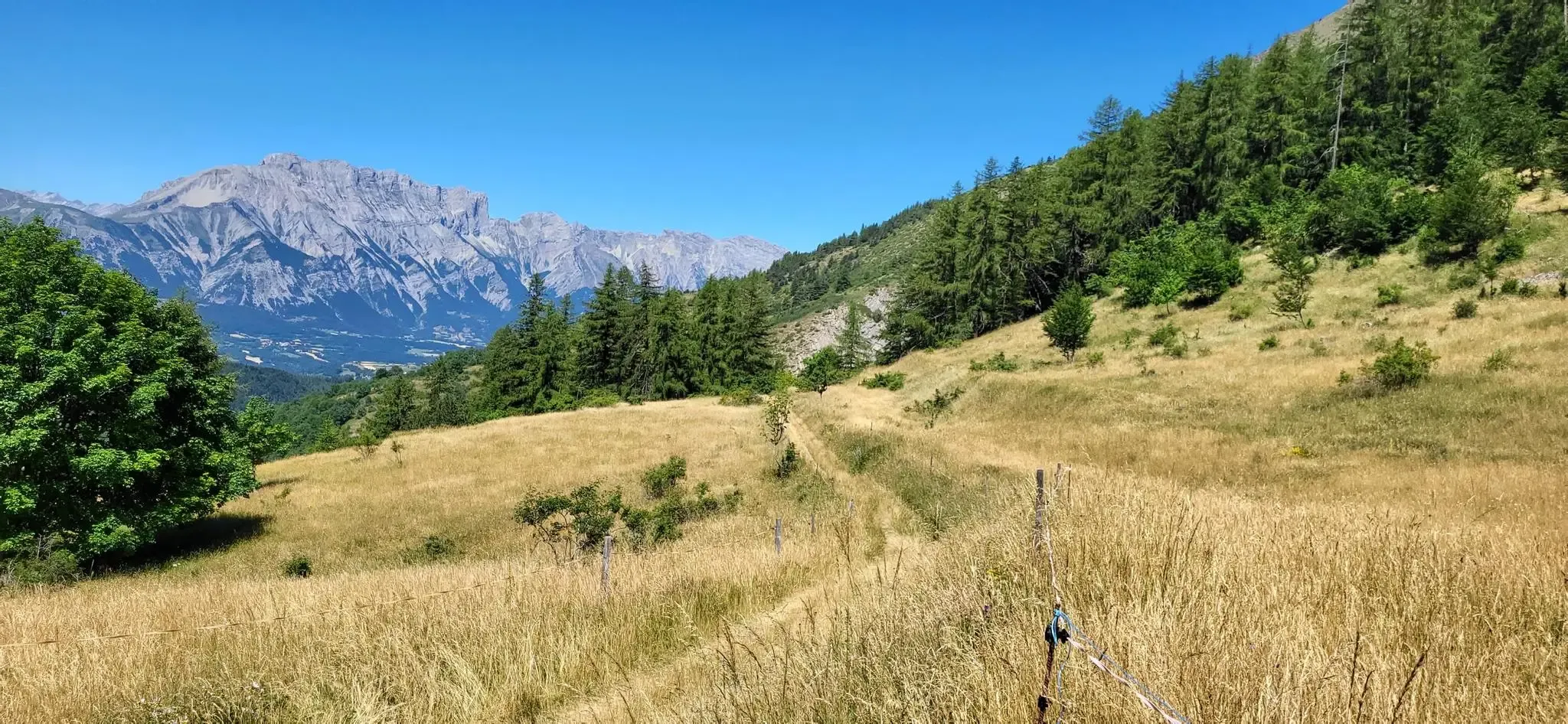
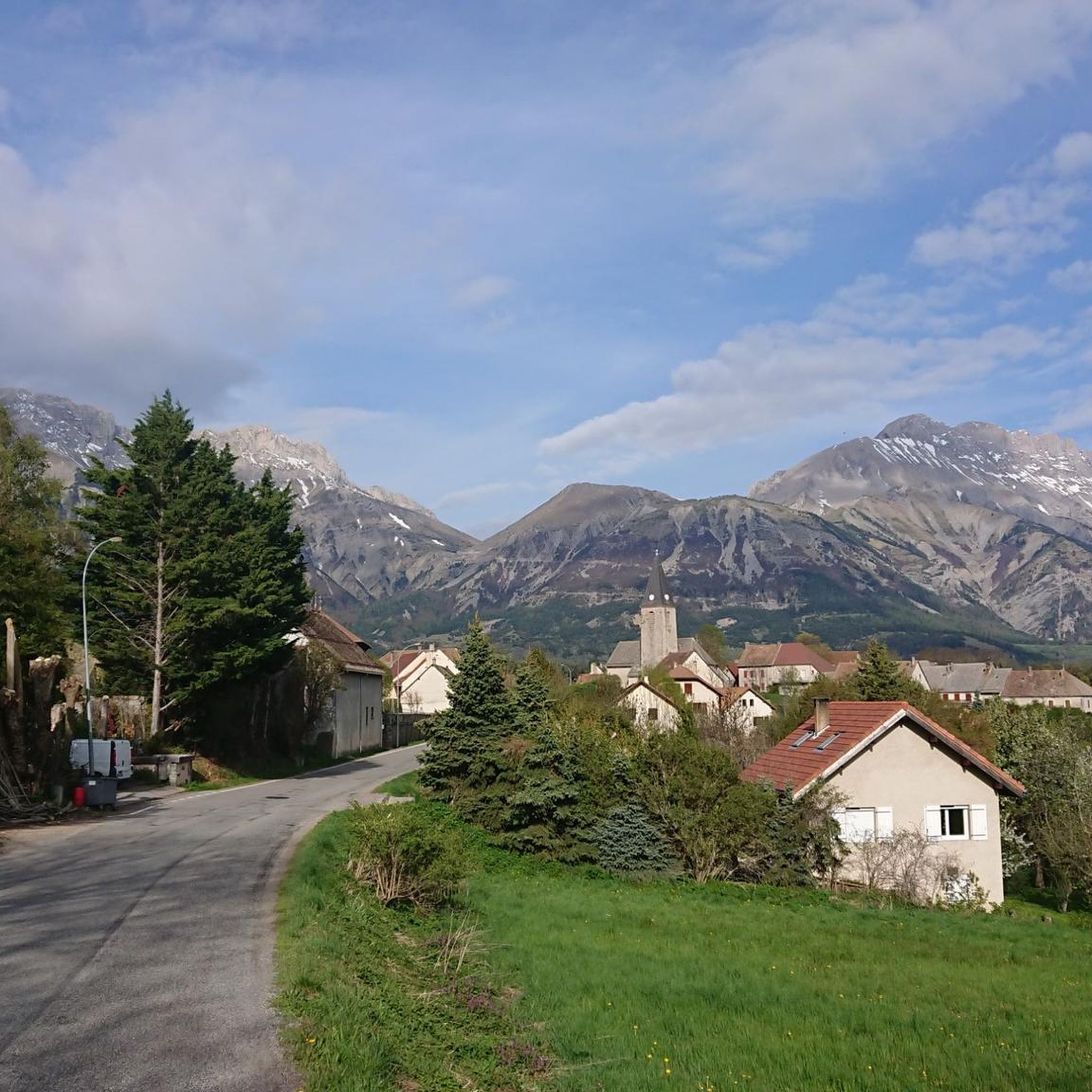
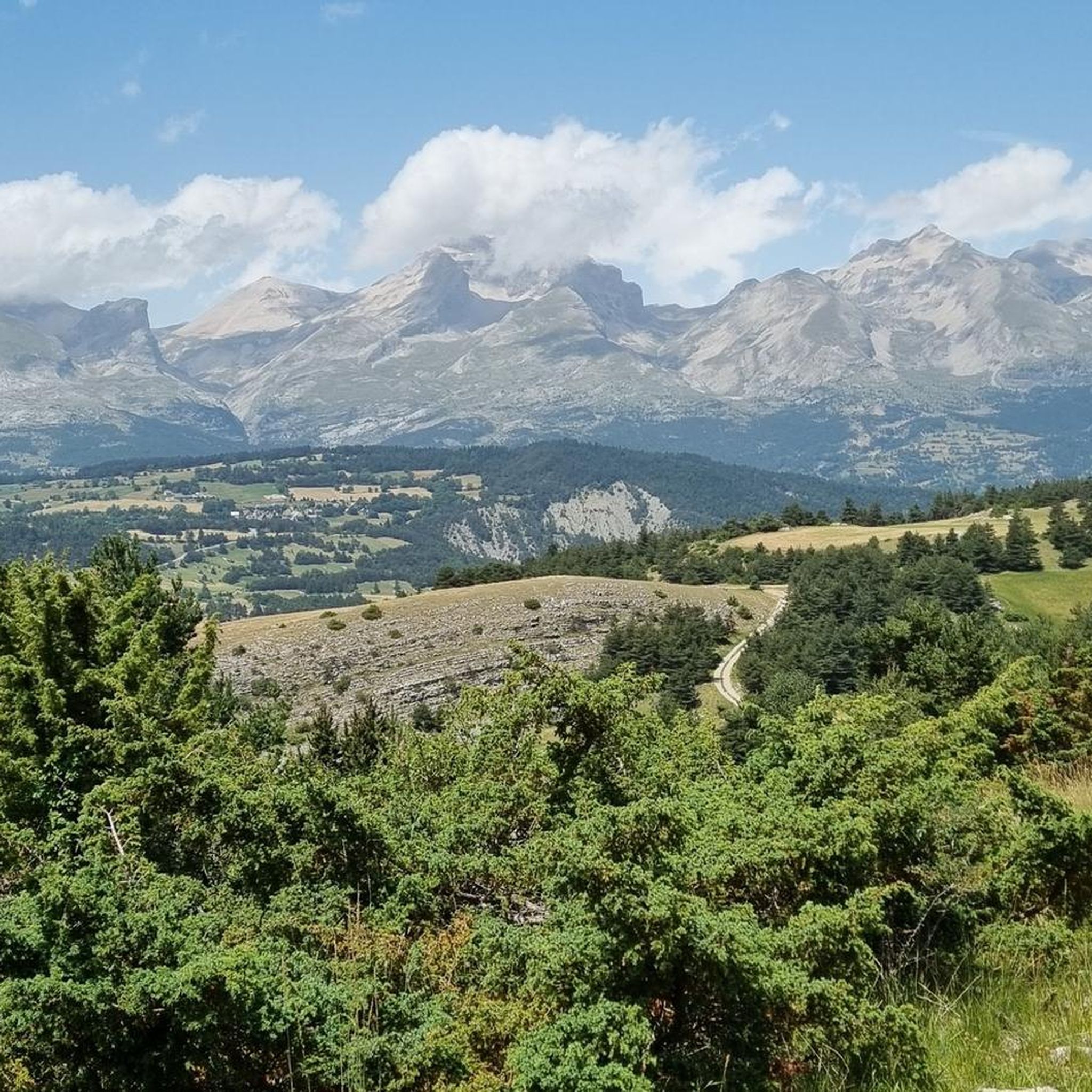
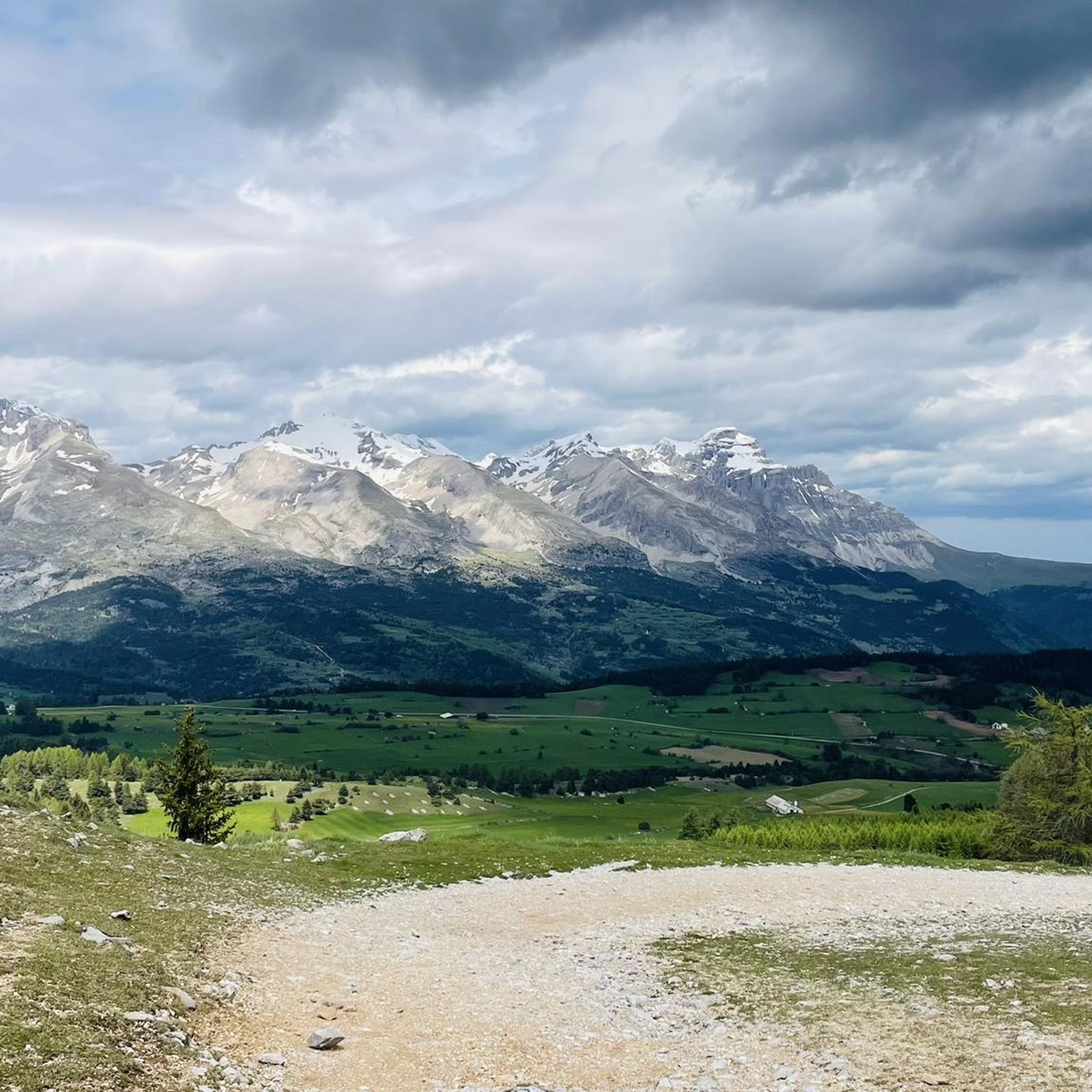
Road cycling routes around Le Noyer are characterized by challenging mountain terrain within the Hautes-Alpes department. The region features significant elevation changes, including the notable Col du Noyer, a high mountain pass reaching 1664 meters. Cyclists navigate demanding climbs, scenic hairpins, and routes that traverse the Champsaur and Dévoluy valleys. The landscape includes alpine pastures, forested areas, and dramatic geological formations like the Gorges de l'Infernet.
Best road cycling routes around Le Noyer
- The most popular road cycling route is…
Last updated: October 4, 2026
4.9
(13)
338
riders
70.8km
03:57
1,540m
1,540m
Hard road ride. Very good fitness required. Mostly well-paved surfaces and easy to ride.
5.0
(2)
64
riders
18.7km
01:17
650m
650m
Moderate road ride. Good fitness required. Mostly well-paved surfaces and easy to ride.

5.0
(3)
140
riders
36.5km
02:28
1,190m
1,190m
Hard road ride. Very good fitness required. Mostly well-paved surfaces and easy to ride.
5.0
(4)
25
riders
46.7km
02:27
710m
710m
Moderate road ride. Good fitness required. Some segments of this route may be unpaved and difficult to ride.
5.0
(1)
45
riders
21.0km
01:26
720m
720m
Moderate road ride. Good fitness required. Mostly well-paved surfaces and easy to ride.
Get access to more routes and recommendations from other explorers.
Already have an account?
Our route recommendations are based on thousands of hikes, rides, and runs completed by other people on komoot.
Start today with a free account
Your next adventure awaits.

Other adventures around Le Noyer

Tips from the Community

At sunset this place is worth more than many others! And sleeping there is a must!
0
0

Beautiful pass with great panorama and little traffic!
2
0

You have to be careful on this descent and it is very technical.
13
0

A not difficult climb with spectacular views.
14
0

The climb to the Col du Noyer from its slope is the most challenging, with over six kilometers at an average gradient of 8.6%. The gradient is fairly steady and the setting is magnificent.
4
0
A hill with a slope that is never too steep and with wonderful views.
25
0
The river is formed by the confluence of the Drac Noir and Drac Blanc streams which originate in the western part of the Massif des Écrins.
30
0
Frequently Asked Questions
How many road cycling routes are available around Le Noyer?
There are over 70 road cycling routes around Le Noyer, catering to various skill levels. You'll find a good mix, with 7 easy routes, 35 moderate routes, and 29 difficult routes, ensuring options for every cyclist.
What are the main challenges for road cyclists in the Le Noyer region?
The Le Noyer region is characterized by significant elevation changes and demanding climbs, particularly the renowned Col du Noyer. This pass reaches 1664 meters and features steep gradients, especially in the final 2.5 kilometers, with some sections reaching 12-13%. The ascent from Le Noyer itself can average 8.2% over 7.5 km, or 8.5% over 12.7 km from Le Martouret.
Are there any easy road cycling routes suitable for beginners or families?
Yes, while many routes are challenging, there are 7 easy road cycling routes around Le Noyer. One example is the Saint-Bonnet-en-Champsaur loop from Le Noyer, which offers a more gentle ride through the scenic landscape.
What kind of landscapes can I expect to see while cycling around Le Noyer?
The region offers stunning mountain vistas and lush greenery. You'll cycle through the diverse landscapes of the Champsaur and Dévoluy valleys, featuring alpine pastures, forested areas, and traditional stone houses. The views from high passes like the Col du Noyer (1664 m) are particularly magnificent, overlooking the Champsaur valley.
What natural features or landmarks can I explore along the cycling routes?
Beyond the challenging passes, you can explore several natural features. The spectacular Infernet Gorge, carved by the Souloise River, offers dramatic rock formations. The Gillardes Spring is another beautiful spot where the Souloise river re-emerges from underground, perfect for a scenic stop.
What do other road cyclists enjoy most about cycling in Le Noyer?
The road cycling experience in Le Noyer is highly rated by the komoot community, with an average score of 4.6 stars from over 70 reviews. Cyclists often praise the well-maintained road surfaces, especially on the upper sections of the Col du Noyer, and the practically non-existent traffic, which contributes to a peaceful and safer ride.
Are there any circular road cycling routes in the area?
Yes, many routes around Le Noyer are designed as loops. For example, the Le Drac – Sautet dam loop from Le Noyer - Pont de la Guinguette is a popular circular route, as is the Insane descent – Col du Noyer (Noyer Pass) loop from Poligny, which includes the famous pass.
What is the best time of year for road cycling in Le Noyer?
The best time for road cycling in Le Noyer is typically during the warmer months, from late spring to early autumn, when mountain passes are clear of snow and weather conditions are most favorable. This allows for comfortable riding and access to all routes, including high-altitude climbs like the Col du Noyer.
Is there good road surface quality on the cycling routes?
Yes, the road surface on the top half of both sides of the Col du Noyer (1664 m) is noted as being perfectly surfaced, likely due to its inclusion in prestigious races like the Tour de France. The Hautes-Alpes department has also invested in improving cycling infrastructure, including road maintenance.
Are there any routes with particularly scenic viewpoints?
Absolutely. The panoramic views from the Col du Noyer (1664 m) are described as indescribably beautiful, especially the vista over the Champsaur valley. Additionally, the Collet du Tat is another highlight known for its scenic outlooks.
How much elevation gain can I expect on a typical difficult route?
Difficult routes around Le Noyer feature significant elevation gain. For instance, the Insane descent – Col du Noyer (Noyer Pass) loop from Poligny involves over 1000 meters of ascent, while the Le Drac – Sautet dam loop from Le Noyer - Pont de la Guinguette has nearly 1000 meters of elevation gain.
Most popular routes around Le Noyer
Most popular attractions around Le Noyer

Get inspired with the komoot mobile app


Explore more
Browse the best Road cycling routes in other regions.
