Saint-Julien-En-Beauchêne
Saint-Julien-En-Beauchêne
The best running trails around Saint-Julien-En-Beauchêne
4.3
(27)
968
runners
50
runs
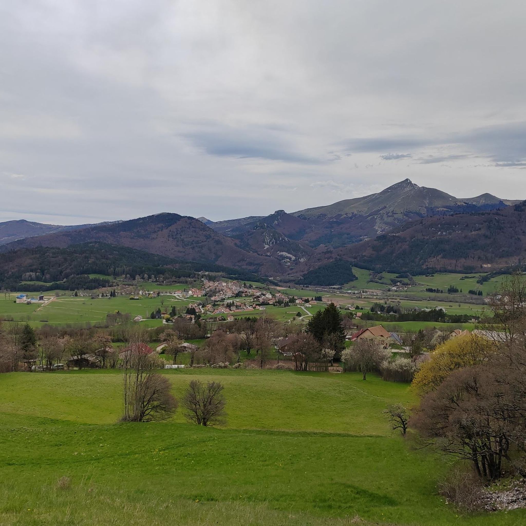
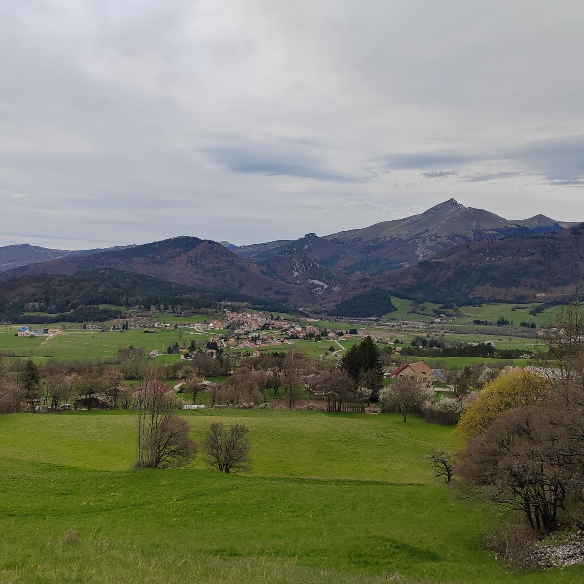
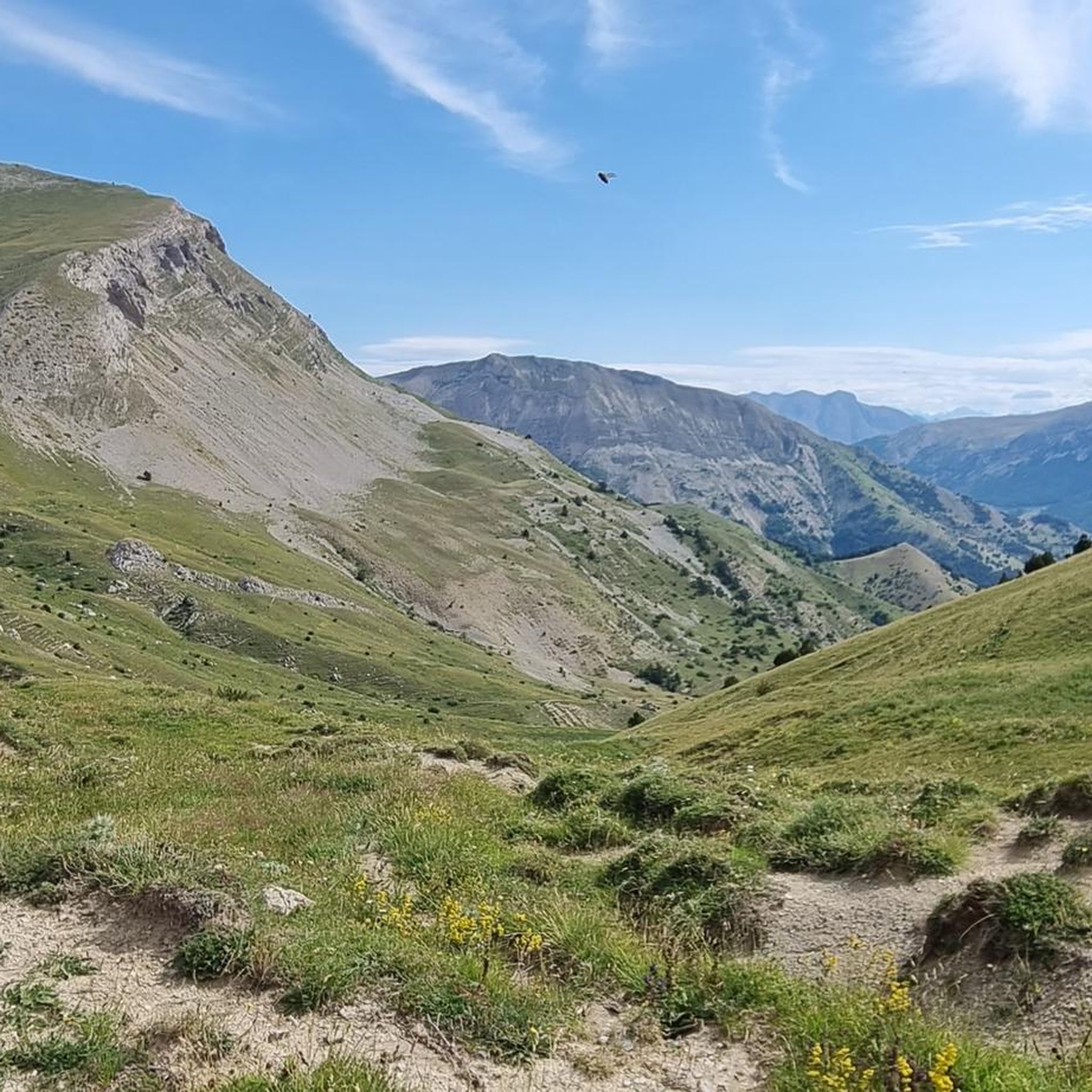
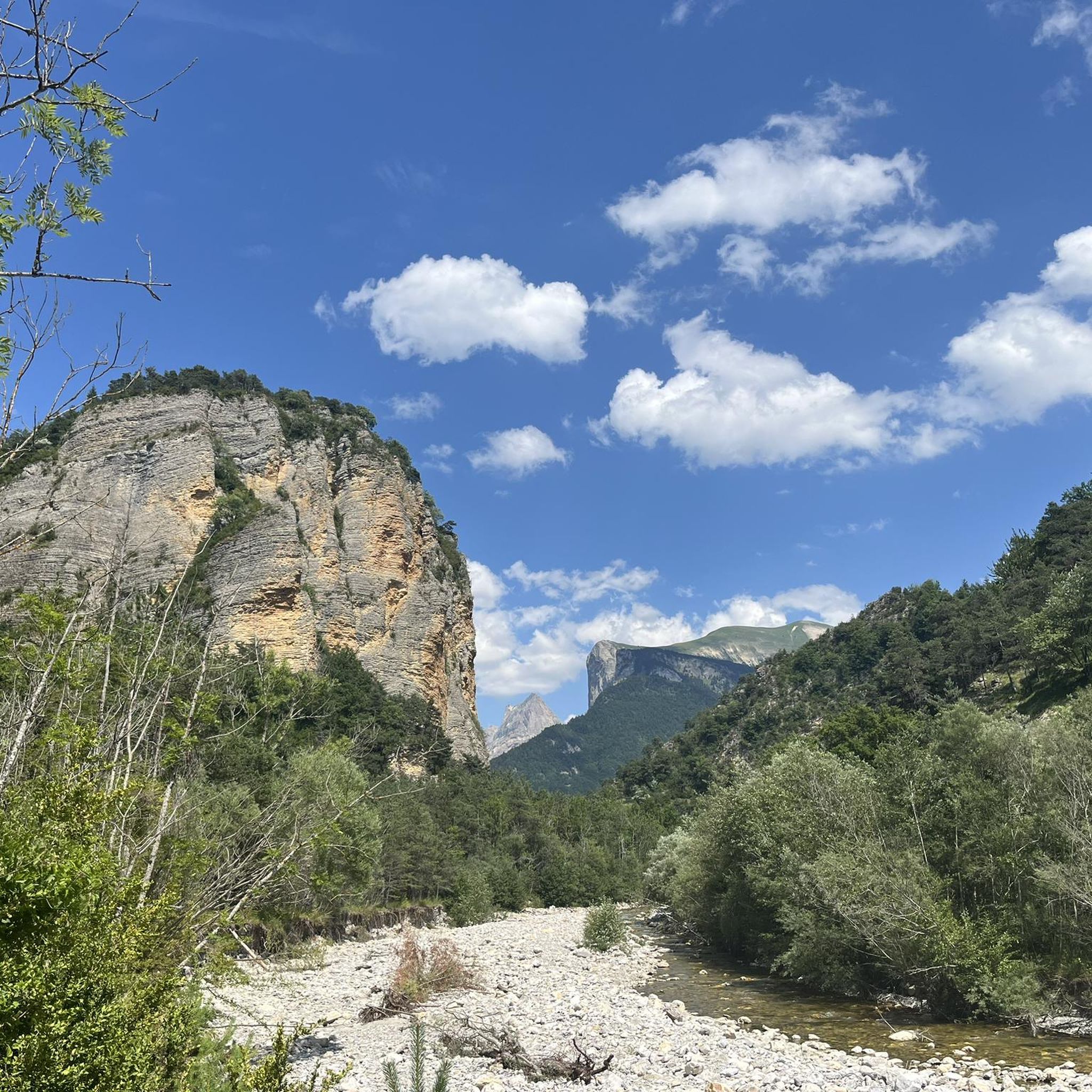
Jogging routes around Saint-Julien-En-Beauchêne are situated in the Hautes-Alpes department of southeastern France, characterized by rolling landscapes and the Southern French Alps. The region features diverse terrain, including river valleys, such as the Grand Buëch, and extensive forests like Durbon. Jogging and running routes traverse agricultural areas, connect to nearby villages, and extend into alpine environments.
Best jogging routes around Saint-Julien-En-Beauchêne
- The most popular jogging route is Running loop from Lus-la-Croix-Haute, a 4.2 miles (6.8 km) trail that takes…
Last updated: May 20, 2026
5
runners
6.77km
00:46
120m
120m
Moderate run. Good fitness required. Mostly paved surfaces. Suitable for all skill levels.
6
runners
8.72km
01:50
840m
840m
Hard run. Very good fitness required. Mostly paved surfaces. Suitable for all skill levels.

Sign up for free
6
runners
14.8km
01:35
210m
210m
Moderate run. Good fitness required. Mostly paved surfaces. Suitable for all skill levels.
3
runners
16.1km
02:33
740m
740m
Hard run. Very good fitness required. Sure-footedness, sturdy shoes and alpine experience required.
3
runners
9.08km
01:18
400m
400m
Hard run. Very good fitness required. Mostly paved surfaces. Suitable for all skill levels.
Get access to more routes and recommendations from other explorers.
Sign up for free
Already have an account?
Our route recommendations are based on thousands of hikes, rides, and runs completed by other people on komoot.
Start today with a free account
Your next adventure awaits.
Login or Signup

Tips from the Community

A pass that is deserved especially in hot weather: the climate of the drome spares no one!
1
0

Easy col, from Lus-la-Croix-Haute is just 7.5kms and around 4% average gradient
3
0

In the east a very nice valley with very little traffic, so probably all the snacks etc. are closed
0
0
Frequently Asked Questions
How many running routes are available around Saint-Julien-En-Beauchêne?
There are over 45 dedicated running routes around Saint-Julien-En-Beauchêne, offering a wide range of options for all fitness levels. These routes traverse the picturesque Hautes-Alpes department, providing diverse natural landscapes for your runs.
Are there easy jogging routes suitable for beginners or casual runners?
Yes, Saint-Julien-En-Beauchêne offers several easy jogging routes. There are 4 routes specifically categorized as easy, perfect for beginners or those looking for a relaxed run through the gently rolling landscapes and agricultural areas. For a moderate option, consider the Running loop from Lus-la-Croix-Haute, which is 6.8 km long and offers scenic views.
What kind of landscapes can I expect on the running trails in this region?
The running trails around Saint-Julien-En-Beauchêne feature a diverse range of landscapes. You'll find gently rolling terrain, agricultural areas, and paths connecting to nearby villages. For more challenging runs, the trails extend into the dramatic Southern French Alps, offering stunning mountain views, valleys, and alpine environments. The region is also close to natural parks like Écrins National Park, providing extensive networks through preserved natural environments.
What is the best time of year to go jogging in Saint-Julien-En-Beauchêne?
The Hautes-Alpes region, where Saint-Julien-En-Beauchêne is located, boasts approximately 300 days of sunshine a year, making it ideal for outdoor pursuits for much of the year. Spring and autumn offer pleasant temperatures and vibrant scenery, while summer is excellent for higher-altitude runs. Even winter can be suitable for lower-elevation trails, though some mountain passes may require specific gear or be inaccessible.
Are there any circular running routes available?
Yes, many of the running routes around Saint-Julien-En-Beauchêne are circular, allowing you to start and end at the same point. For example, the challenging Col du Festre (1441 m) – Col de la Croix loop from Saboyer is a 28.4 km loop through alpine landscapes. Another option is the Col du Festre (1441 m) – Col du Festre loop from La Cluse, an 11.0 km trail.
What do other runners say about the trails in Saint-Julien-En-Beauchêne?
The running routes in Saint-Julien-En-Beauchêne are highly rated by the komoot community, with an average score of 4.3 stars from over 29 reviews. More than 1000 runners have used komoot to explore the varied terrain, often praising the beautiful scenery, the mix of accessible and challenging paths, and the overall natural beauty of the Hautes-Alpes.
Are there any notable landmarks or natural attractions to see while running?
Yes, the region offers several interesting natural attractions. You might encounter highlights such as Gorges des Gâts, the impressive Jocou Mountain, or various mountain passes like Col du Festre and Col de Grimone (1318 m), which often feature stunning viewpoints.
Are the running trails in Saint-Julien-En-Beauchêne suitable for families?
While specific 'family-friendly' designations are not always explicit for running routes, the area's gently rolling landscapes and accessible trails provide good options for families. Look for the 'easy' or 'moderate' difficulty routes, which typically have less elevation gain and are shorter in distance, making them more suitable for a family outing. The Running loop from Lus-la-Croix-Haute is a moderate 6.8 km path that could be a good choice.
Can I bring my dog on the running trails?
Generally, dogs are welcome on many trails in the Hautes-Alpes region, especially in natural areas outside of strictly protected zones. However, it's always advisable to keep your dog on a leash, especially in agricultural areas or near wildlife, and to check local regulations for specific trails or natural parks you plan to visit. Always ensure your dog is well-behaved and that you clean up after them.
Are there routes with significant elevation gain for challenging runs?
Absolutely. The Southern French Alps provide a dramatic backdrop for challenging runs. Many routes feature significant elevation changes, with passes at altitudes over 2000 meters. For example, the Col du Festre (1441 m) – Col de la Croix loop from Saboyer is a difficult 28.4 km route with over 1700 meters of elevation gain, perfect for experienced trail runners seeking a demanding workout.
How long do the running routes typically take to complete?
The duration of running routes varies greatly depending on their length and difficulty. Easy routes might take less than an hour, while more challenging mountain trails can take several hours. For instance, the moderate Running loop from Lus-la-Croix-Haute typically takes under an hour, whereas the difficult Mont Barral – Jiboui Ridge loop from Col de Grimone, at nearly 26 km, can take over 4 hours.
Are there options for parking near the trailheads?
While specific parking details for every trailhead are not always listed, many routes in the region, especially those starting from villages or popular mountain passes, typically have designated parking areas nearby. It's common for trails to begin from accessible points like Col de Grimone or near Lus-la-Croix-Haute, where parking is generally available for outdoor enthusiasts.
Most popular routes around Saint-Julien-En-Beauchêne
Most popular attractions around Saint-Julien-En-Beauchêne

Get inspired with the komoot mobile app


Explore more
Browse the best Running Trails & Routes in other regions.
