The best road cycling routes around Guiler-Sur-Goyen
4.2
(99)
2,048
riders
174
rides
Road cycling around Guiler-Sur-Goyen features varied terrain with elevations ranging from 25 to 133 meters, encompassing a mix of hills and valleys. The Goyen river flows through the commune, contributing to scenic pathways, and wild wooded moorlands offer tranquil environments. The region's strategic location provides access to the Finistère department's extensive cycling network, including coastal paths and peaceful countryside. This topography supports diverse road cycling routes for various fitness levels.
Best road cycling routes around Guiler-Sur-Goyen
- The most popular road…
Last updated: May 14, 2026
4.9
(15)
228
riders
56.5km
02:28
470m
470m
Moderate road ride. Good fitness required. Some segments of this route may be unpaved and difficult to ride.
4.7
(9)
186
riders
77.6km
03:17
450m
450m
Moderate road ride. Good fitness required. Some segments of this route may be unpaved and difficult to ride.

Sign up for free
6
riders
48.9km
02:28
640m
640m
Moderate road ride. Good fitness required. Some segments of this route may be unpaved and difficult to ride.
5.0
(1)
9
riders
45.7km
02:07
400m
400m
Moderate road ride. Good fitness required. Some segments of this route may be unpaved and difficult to ride.
13
riders
57.9km
02:32
470m
470m
Moderate road ride. Good fitness required. Mostly well-paved surfaces and easy to ride.
Get access to more routes and recommendations from other explorers.
Sign up for free
Already have an account?
Our route recommendations are based on thousands of hikes, rides, and runs completed by other people on komoot.
Start today with a free account
Your next adventure awaits.
Login or Signup
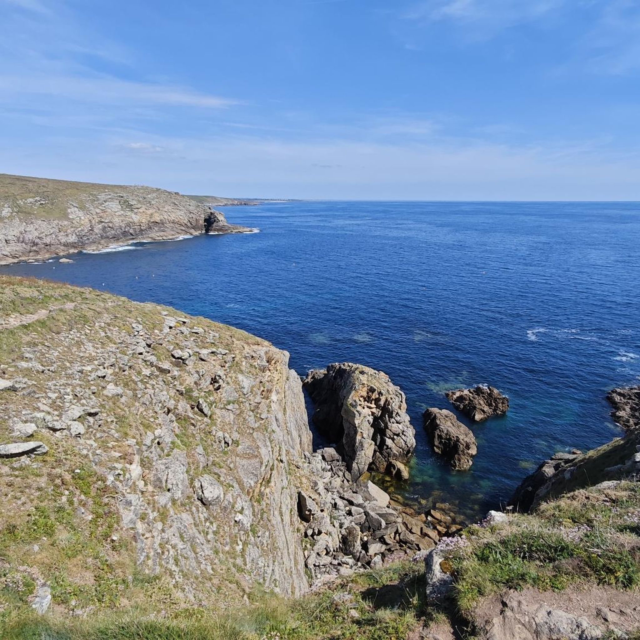
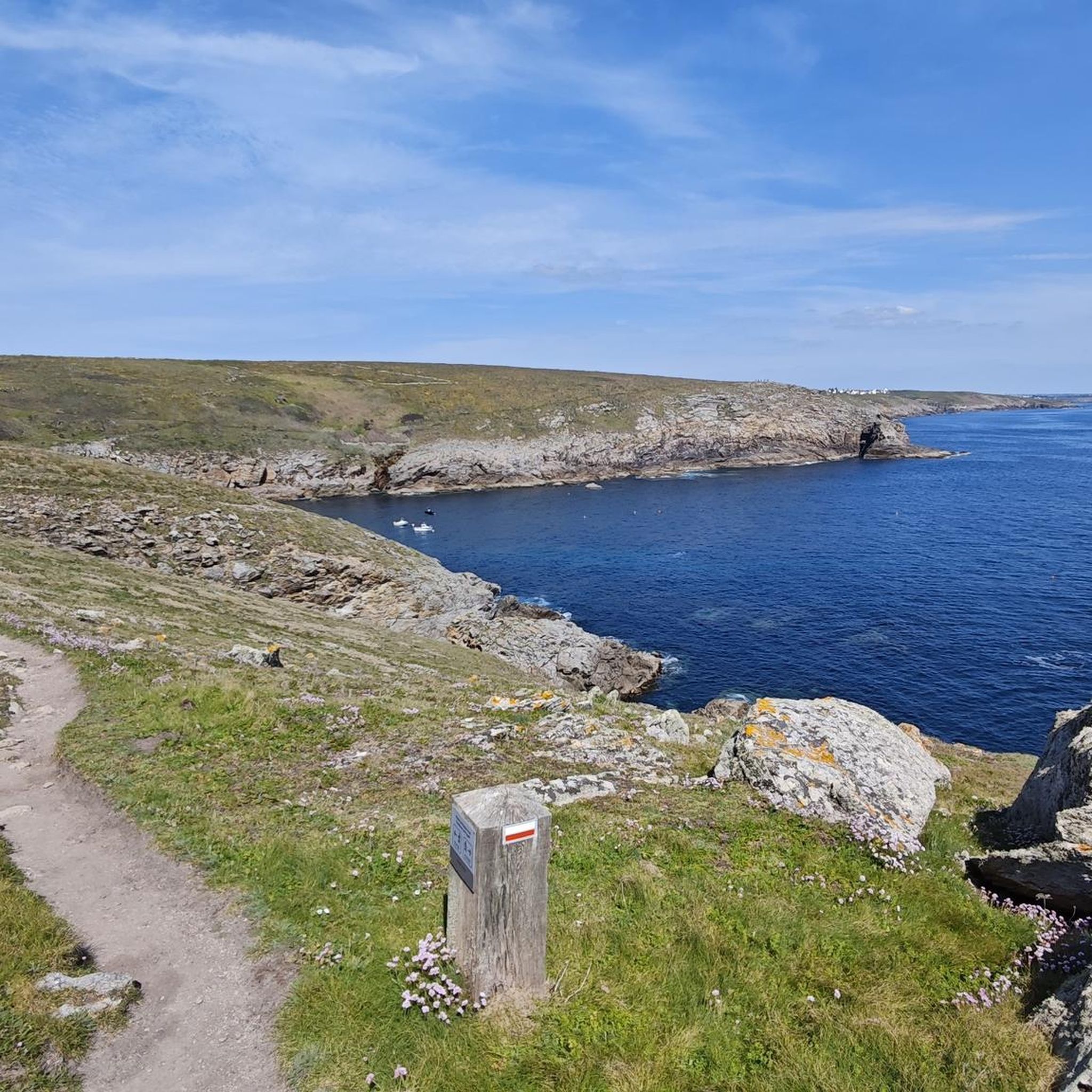

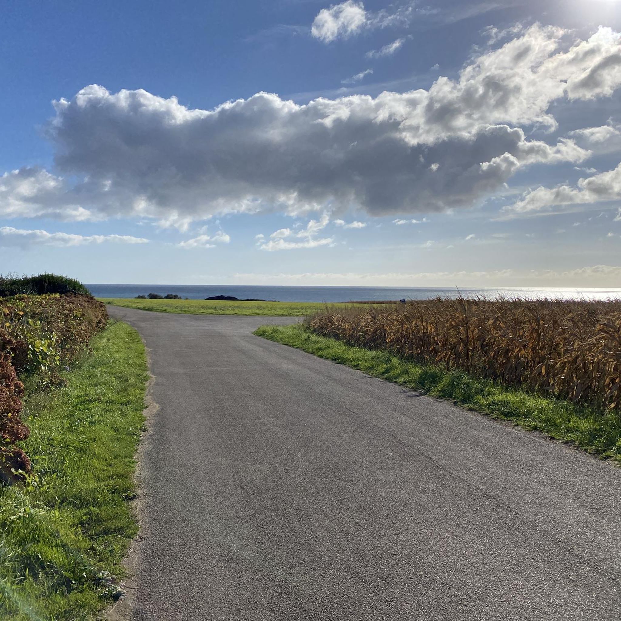
Tips from the Community

A funny name for a place
0
0
The port, along with the bridge, forms the border between Plouhinec and Audierne. In Plouhinec, it is more of a working port, and in Audierne, it is a promenade.
0
0
A beautiful little harbor district with good dining options.
0
0

The Chapel of Notre-Dame-de-Kérinec was built around 1280 on a spring (now a holy well) that appears to have previously been a pagan place of worship. A menhir and a dolmen are nearby, 500 meters to the east. The interior architecture is characteristic of the so-called Ecole de Pont-Croix style. The exterior was remodeled in the late 14th or 15th century. Source and more information: https://fr.wikipedia.org/wiki/Chapelle_Notre-Dame-de-K%C3%A9rinec A beautiful place, also suitable for a break. The detour to the dolmen and the menhir is also worth making.
2
1

Locronan is considered one of the most beautiful municipalities in France. And rightly so!
1
0

You can jump off it into the sea when the tide is high enough to submerge the cross point of the X holding up the bridge.
0
0

Bikes are repaired and rented here, with top-notch service. Nice man.
0
0
Great bike shop, how to repair and rent bikes, very friendly gentleman who runs the shop there
0
0
Frequently Asked Questions
What kind of terrain can I expect when road cycling around Guiler-Sur-Goyen?
The region around Guiler-Sur-Goyen offers a varied topography, with elevations ranging from 25 to 133 meters. You'll encounter a mix of hills and valleys, providing both undulating routes and some short, steep climbs. The Goyen river valley and surrounding wild wooded moorlands contribute to scenic pathways, while access to the wider Finistère department's network means you can also find coastal paths and peaceful countryside.
Are there road cycling routes suitable for beginners in Guiler-Sur-Goyen?
Yes, Guiler-Sur-Goyen and the surrounding Finistère department offer routes for various fitness levels. While many routes feature moderate climbs, there are also easier options available. Overall, 29 of the 202 routes in the area are rated as easy, providing a good starting point for less experienced road cyclists.
How many road cycling routes are available in the Guiler-Sur-Goyen area?
There are over 200 road cycling routes available around Guiler-Sur-Goyen, catering to a wide range of abilities. This includes 29 easy routes, 153 moderate routes, and 20 difficult routes, ensuring options for every cyclist.
What are some notable landmarks or attractions I can see along the road cycling routes?
As you cycle around Guiler-Sur-Goyen, you can explore several interesting points. Highlights include the picturesque Port of Pors Poulhan, the historic Languidou Chapel Ruins, and the scenic Penhors Beach. For those interested in ancient history, the Pointe du Souc’h Megalithic Necropolis is also nearby.
What do other road cyclists enjoy most about cycling in Guiler-Sur-Goyen?
The road cycling experience around Guiler-Sur-Goyen is highly rated by the komoot community, with an average score of 4.2 stars from over 100 reviews. Cyclists often praise the varied terrain, the peaceful rural roads, and the access to stunning coastal views and charming villages within the wider Finistère network.
Are there any long-distance or challenging road cycling routes in the area?
Yes, for experienced cyclists seeking a challenge, the region offers several demanding routes. An example is the Bay of the Dead – Audierne Harbour loop from Confort-Meilars, which covers over 104 km with significant elevation gain, making it a difficult but rewarding ride.
Can I find circular road cycling routes around Guiler-Sur-Goyen?
Many of the road cycling routes in the Guiler-Sur-Goyen area are designed as loops, allowing you to start and end in the same location. For instance, the popular View of the Bay of Audierne – Eckmühl Lighthouse loop from Mahalon is a 77.1 km circular route offering moderate climbs and coastal views.
What is the best time of year for road cycling in Guiler-Sur-Goyen?
Finistère, where Guiler-Sur-Goyen is located, generally offers pleasant cycling conditions from spring through autumn. The mild climate and varied landscapes are enjoyable, though coastal areas can be windy. Checking local weather forecasts before your ride is always recommended.
Are there options for road cyclists who prefer coastal scenery?
Absolutely. Guiler-Sur-Goyen's strategic location provides easy access to Finistère's stunning coastline. Within a 15 to 20-minute drive, you can reach coastal beaches like Kerrest and Penhors. Many road cycling routes, such as the Audierne Harbour – Port Poulhan loop from Plozévet, lead through coastal areas, offering breathtaking sea views.
How does Guiler-Sur-Goyen connect to larger cycling networks?
Guiler-Sur-Goyen serves as an excellent base for exploring the wider Finistère department, which is well-equipped for cycling. You can easily access major cycling routes like the Vélodyssée, Vélomaritime, V45 coastal route, V6 (along the Nantes-Brest canal), and the V7 (Transfinistérienne), providing extensive possibilities for exploration across western Brittany.
Are there any specific routes that offer significant elevation gain for training?
Yes, if you're looking for routes with significant elevation gain for training, the area has options. The Capucins Footbridge – Passerelle des Capucins loop from Plozévet, for example, is a moderate 70.6 km path that includes over 730 meters of elevation gain through varied landscapes, making it a good choice for building endurance.
Most popular routes around Guiler-Sur-Goyen
Most popular attractions around Guiler-Sur-Goyen

Get inspired with the komoot mobile app


Explore more
Browse the best Road cycling routes in other regions.
