The best road cycling routes around Pourcharesses
4.5
(89)
1,627
riders
45
rides
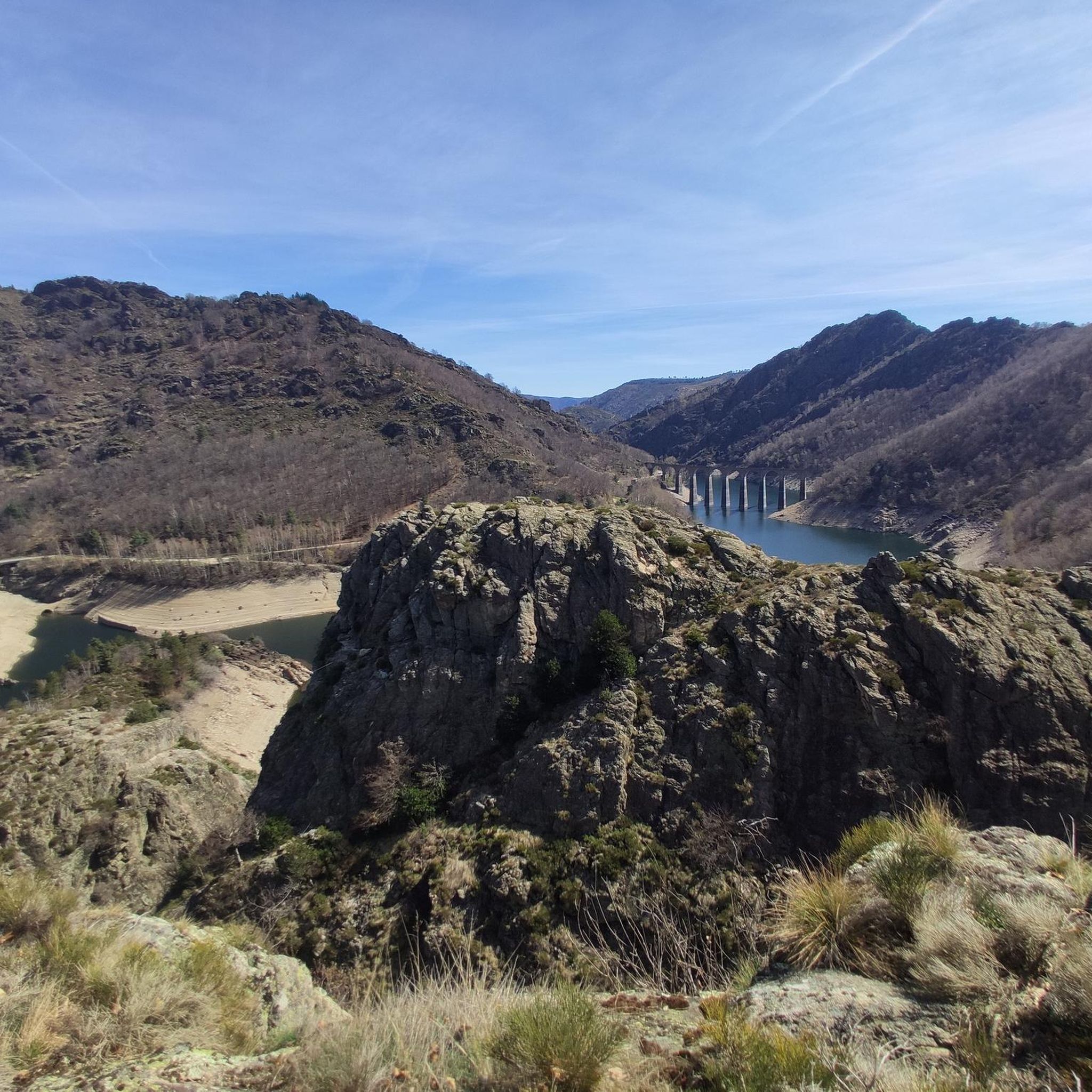
Road cycling routes around Pourcharesses are situated in the Cévennes region, characterized by wild, unspoiled mountains and a network of roads. The area features winding mountain roads and passes, offering varied topography for cyclists. Notable natural features include Mont Lozère, with its eroded granite formations, and gorges formed by rivers such as the Tarn and Altier. The landscape also incorporates heavily wooded slopes and moorland, providing diverse scenery for road cyclists.
Best road cycling routes around Pourcharesses
- The most popular…
Last updated: October 3, 2026
4.8
(4)
170
riders
96.3km
05:28
1,990m
1,980m
Hard road ride. Very good fitness required. Mostly well-paved surfaces and easy to ride.
5.0
(4)
71
riders
73.3km
04:07
1,190m
1,190m
Hard road ride. Very good fitness required. Some segments of this route may be unpaved and difficult to ride.

96
riders
80.7km
04:28
1,290m
1,290m
Hard road ride. Very good fitness required. Some segments of this route may be unpaved and difficult to ride.
2.7
(3)
40
riders
63.2km
03:38
1,180m
1,180m
Hard road ride. Very good fitness required. Some segments of this route may be unpaved and difficult to ride.
30
riders
69.5km
03:44
1,350m
1,350m
Hard road ride. Very good fitness required. Some segments of this route may be unpaved and difficult to ride.
Get access to more routes and recommendations from other explorers.
Already have an account?
Our route recommendations are based on thousands of hikes, rides, and runs completed by other people on komoot.
Start today with a free account
Your next adventure awaits.
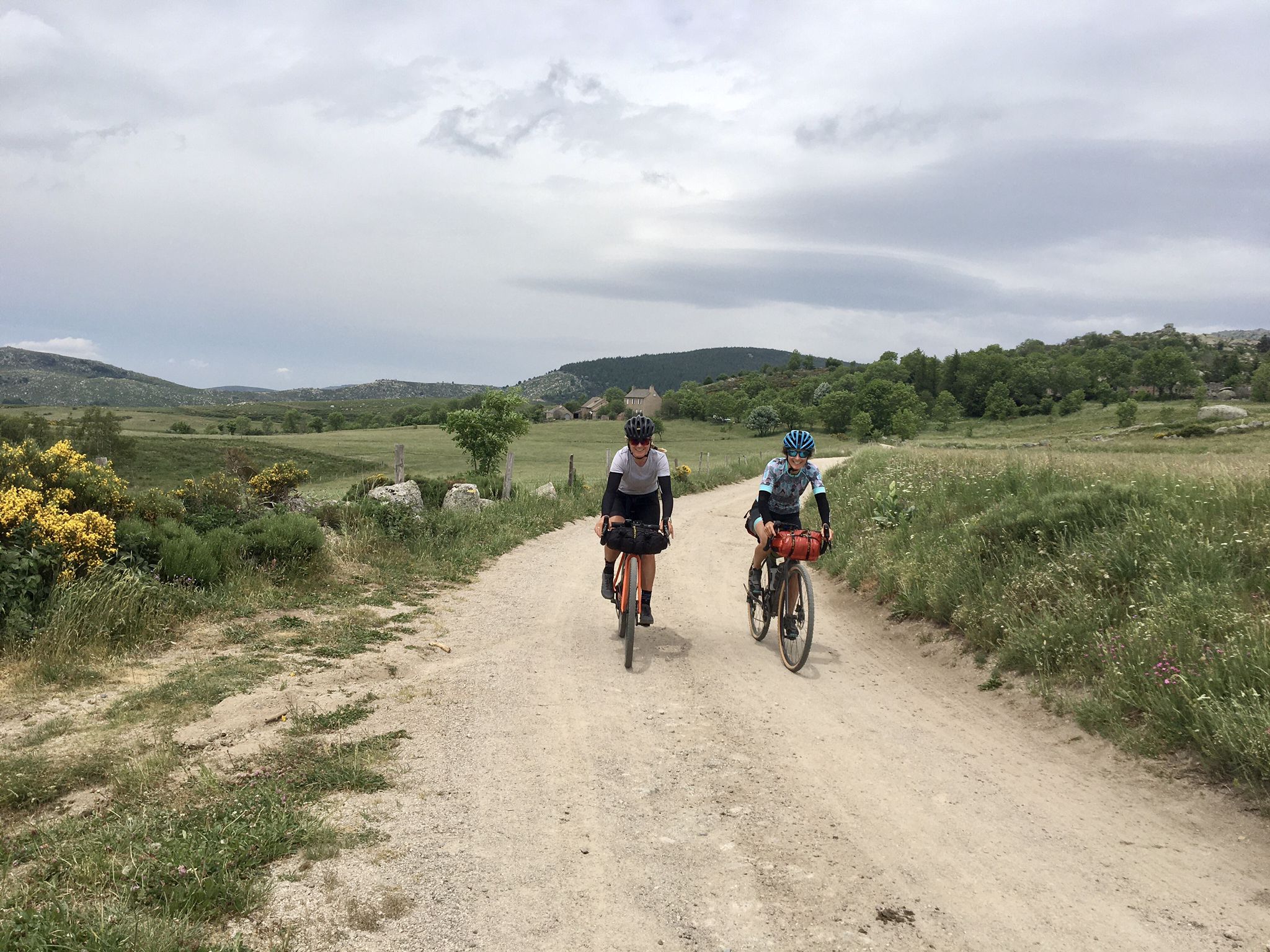
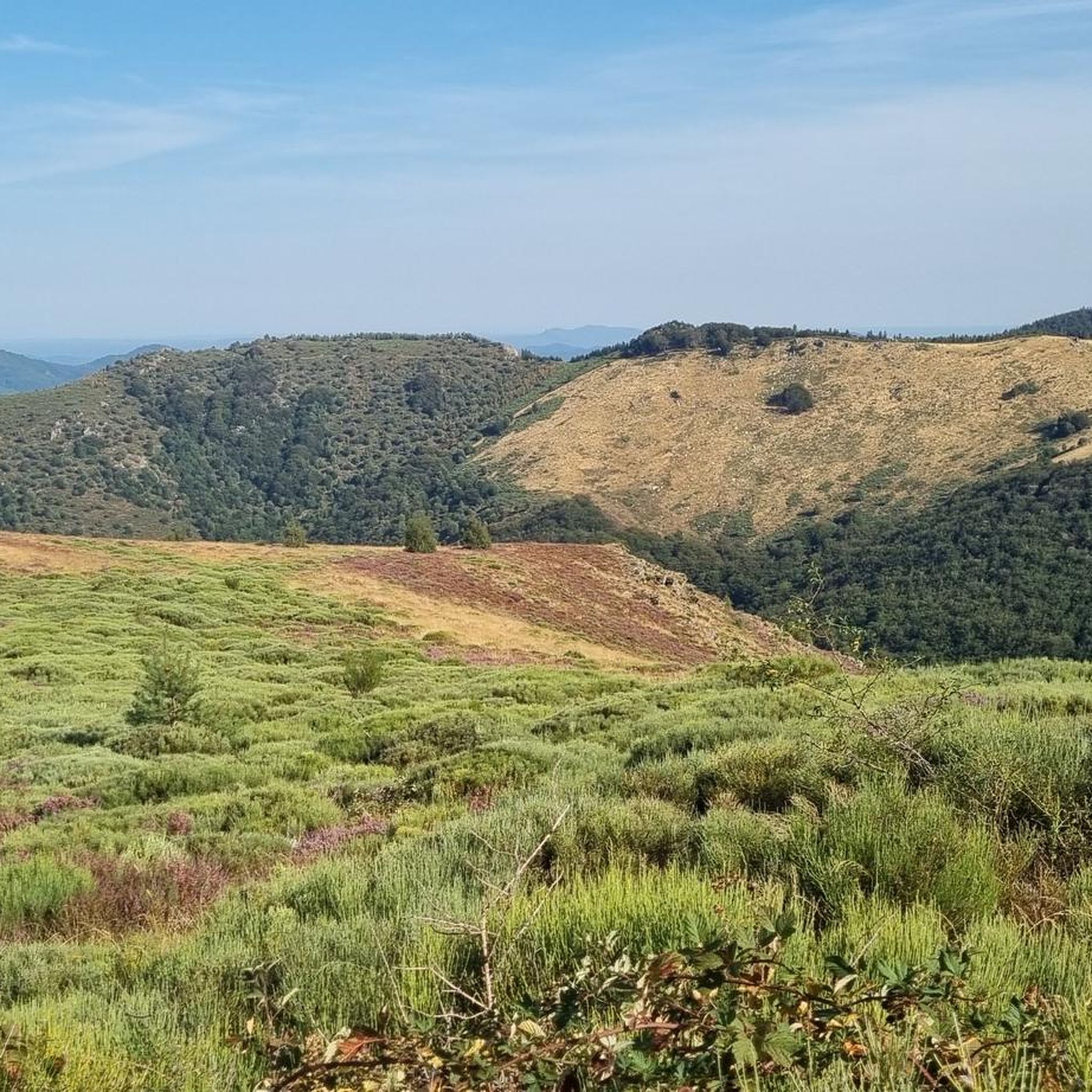
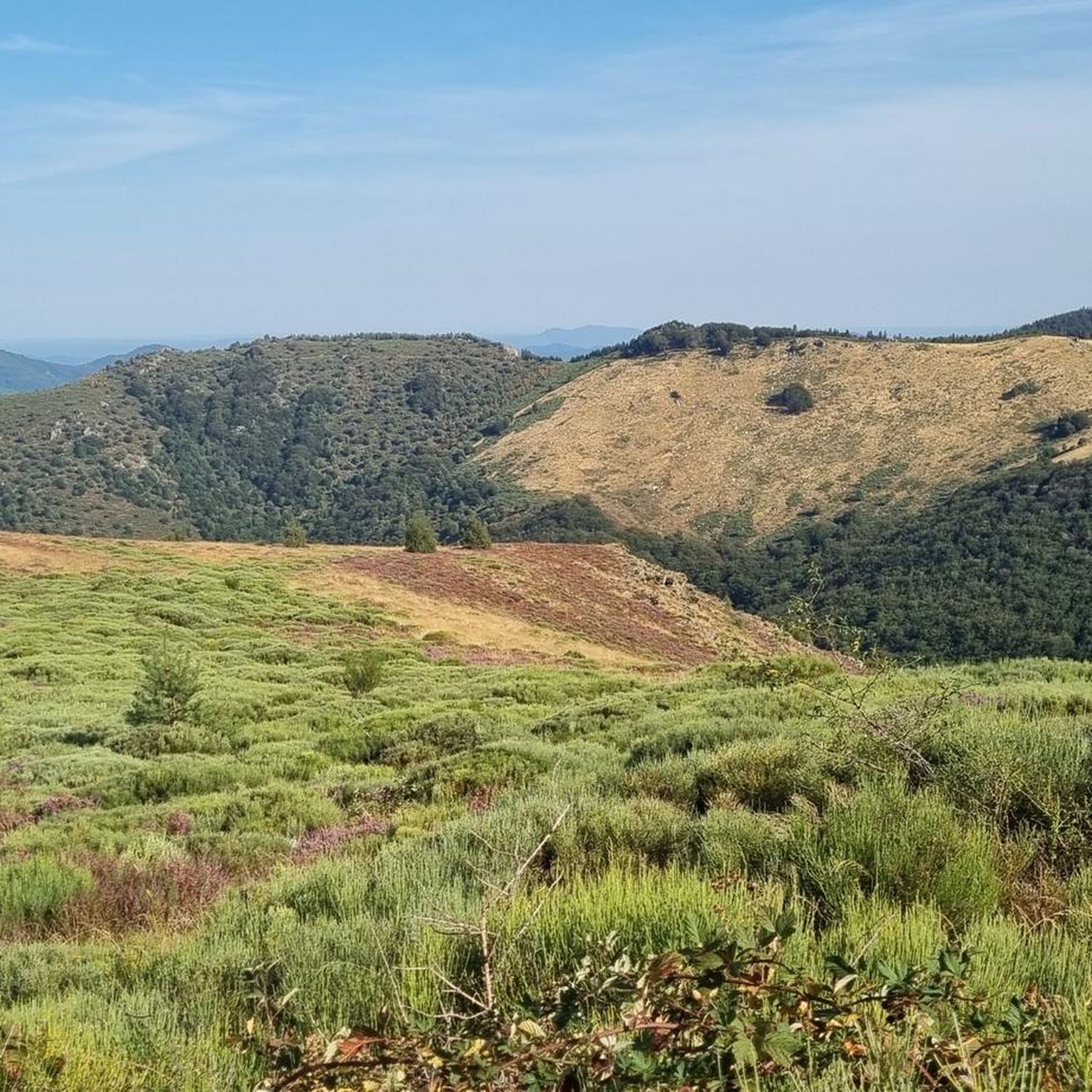
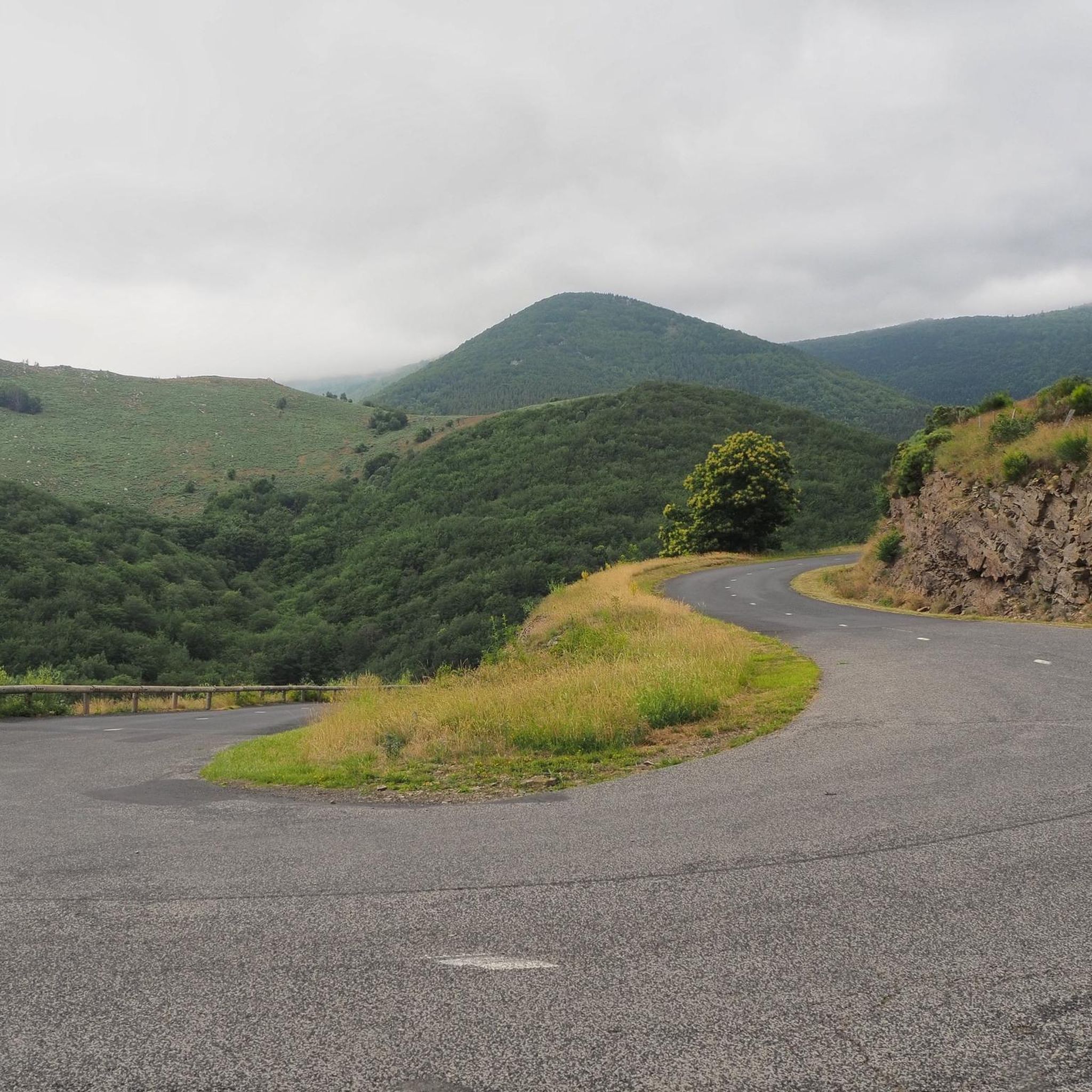
Other adventures around Pourcharesses

Tips from the Community

The famous rocks with the bear and the lion in the beautiful Bois de Païolive
0
0

Only spot with a valley view to the northeast.
0
0

The only thing I really liked was the campsite.
0
1
There isn't much to see from that spot.
0
0

Nice road for cycling. Varied views and forest. Asphalt in decent condition. Goes up and down nicely.
0
0

Rock formations resembling a bear and a lion. South of the road through the Bois du Paiolive
1
0

Lovely climb to warm up after a long day in the saddle
0
0
Frequently Asked Questions
How many road cycling routes are available around Pourcharesses?
There are over 35 road cycling routes available around Pourcharesses, offering a variety of experiences for cyclists. These routes are highly rated by the komoot community, with an average score of 4.4 stars.
What is the best time of year for road cycling in Pourcharesses?
The Cévennes region, where Pourcharesses is located, offers diverse conditions. While specific seasonal conditions aren't detailed, the area is known for its dramatic landscapes, suggesting spring and autumn might be ideal for comfortable temperatures and vibrant scenery. Winter cycling might be challenging due to mountain conditions.
Are there road cycling routes suitable for beginners or families in Pourcharesses?
While the region is known for its challenging terrain, there are 19 moderate difficulty routes available. For example, the Villefort Lake – Lake Villefort loop from Villefort is a moderate 55.1 km route that takes about 2 hours 43 minutes, offering a less strenuous option.
What kind of terrain can I expect on road cycling routes around Pourcharesses?
Road cycling around Pourcharesses is characterized by winding mountain roads, challenging passes, and scenic river valleys. You'll encounter diverse topography, from the eroded granite formations of Mont Lozère to breathtaking gorges formed by rivers like the Tarn and Altier. The landscape also features heavily wooded slopes and moorland.
Are there any circular road cycling routes in the Pourcharesses area?
Yes, many routes in the area are designed as loops. For instance, the Concoules Village – Les Drouilhèdes Ford loop from Villefort is a difficult 71.2 km path that loops through villages and features river crossings. Another option is the D155a – Col du Mas de l'Ayre loop from Villefort, a 63.4 km trail through mountain passes.
What are some notable attractions or viewpoints I can see while road cycling near Pourcharesses?
While cycling, you can encounter several points of interest. The Finiels Summit on Mont Lozère offers impressive views. You might also pass through picturesque villages like Le Pont-de-Montvert or cycle near Lac de Villefort. The region's gorges, such as those of the Tarn and Chassezac, also provide stunning natural scenery.
Where can I find parking when planning a road cycling trip to Pourcharesses?
While specific parking locations for cyclists are not detailed, many routes start from towns like Villefort. It's generally advisable to look for public parking facilities within these towns or at popular trailheads. Always check local signage for parking regulations.
Is it possible to access road cycling routes in Pourcharesses using public transport?
Information on specific public transport access points for road cycling routes in Pourcharesses is not readily available. The region is characterized by wild, unspoiled mountains, so public transport options might be limited. Planning your trip with a car for access to starting points is often recommended.
Are there cafes or restaurants along the road cycling routes for a break?
The Cévennes region features unspoiled mountain villages like Le Pont-de-Montvert, which often offer refreshing stops. While not explicitly listed for every route, these villages are good places to look for local cafes or restaurants to refuel during your ride.
What makes road cycling in the Cévennes region around Pourcharesses unique?
The Cévennes region stands out for its diverse and dramatic landscapes, including the challenging climbs of Mont Lozère, winding mountain roads, and breathtaking gorges. Being part of a national park and a UNESCO World Heritage site ensures a pristine environment, offering a deep immersion in nature alongside rich historical and cultural elements.
What do other cyclists say about road cycling in Pourcharesses?
The komoot community highly rates road cycling in Pourcharesses, with an average score of 4.4 stars from over 60 reviews. Cyclists often praise the varied terrain, challenging climbs, and panoramic views across the Mont Lozère massif and river valleys. Over 1400 road cyclists have used komoot to explore the area, highlighting its popularity.
Are there any permits required for road cycling in the Pourcharesses area?
There is no information indicating that specific permits are required for road cycling in the Pourcharesses area. As it's part of the Cévennes National Park, general park regulations should be observed, but typically, road cycling on public roads does not require special permits.
Can I find long-distance road cycling options around Pourcharesses?
Yes, the region offers several long-distance options. For example, the Tour of East Mont Lozère is a challenging 96.3 km route, taking over 5 hours to complete. These longer routes provide extensive exploration of the diverse landscapes of the Cévennes.
Most popular attractions around Pourcharesses

Get inspired with the komoot mobile app


Explore more
Browse the best Road cycling routes in other regions.
