The best road cycling routes around Trimbach
4.6
(176)
3,674
riders
200
rides
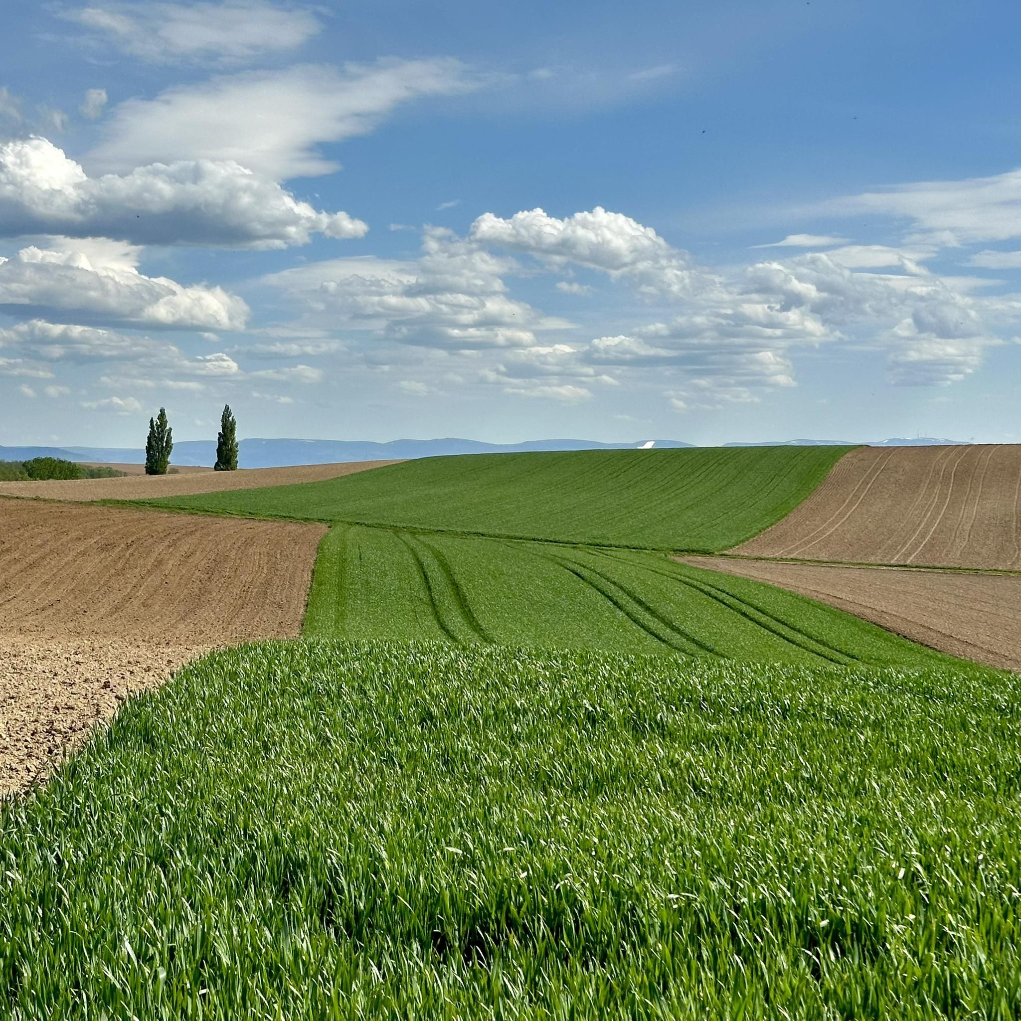
Road cycling around Trimbach offers a diverse topography, ranging from challenging mountainous terrain with passes to more gentle plains and forested areas. The region is characterized by accessible mountain peaks and passes, providing both physical challenges and panoramic views. Cyclists can encounter dramatic geological formations, such as the Tüfels Gorge, along various routes. The varied landscapes ensure a range of experiences for road cyclists.
Best road cycling routes around Trimbach
- The most popular road cycling route is Secondary route with…
Last updated: September 28, 2026
11
riders
43.9km
01:54
390m
390m
Moderate road ride. Good fitness required. Mostly well-paved surfaces and easy to ride.
11
riders
11.6km
00:29
90m
90m
Easy road ride. Great for any fitness level. Mostly well-paved surfaces and easy to ride.

11
riders
29.1km
01:13
200m
200m
Easy road ride. Great for any fitness level. Mostly well-paved surfaces and easy to ride.
7
riders
32.9km
01:23
210m
210m
Easy road ride. Great for any fitness level. Mostly well-paved surfaces and easy to ride.
4
riders
Easy road ride. Great for any fitness level. Mostly well-paved surfaces and easy to ride.
Get access to more routes and recommendations from other explorers.
Already have an account?
Our route recommendations are based on thousands of hikes, rides, and runs completed by other people on komoot.
Start today with a free account
Your next adventure awaits.

Tips from the Community


The Sauer is a roughly 70 km long tributary of the Rhine. It originates in the Palatinate Forest near the German-French border. On its way, it flows through the Northern Vosges and partly forms the border between Germany and France. It then crosses Alsace before flowing into the Rhine at Munchhausen. The Sauer has a catchment area of about 800 km² and an average discharge of around 6 m³ per second.
0
0

Nice half-timbered houses. Worth seeing if you are nearby.
0
0

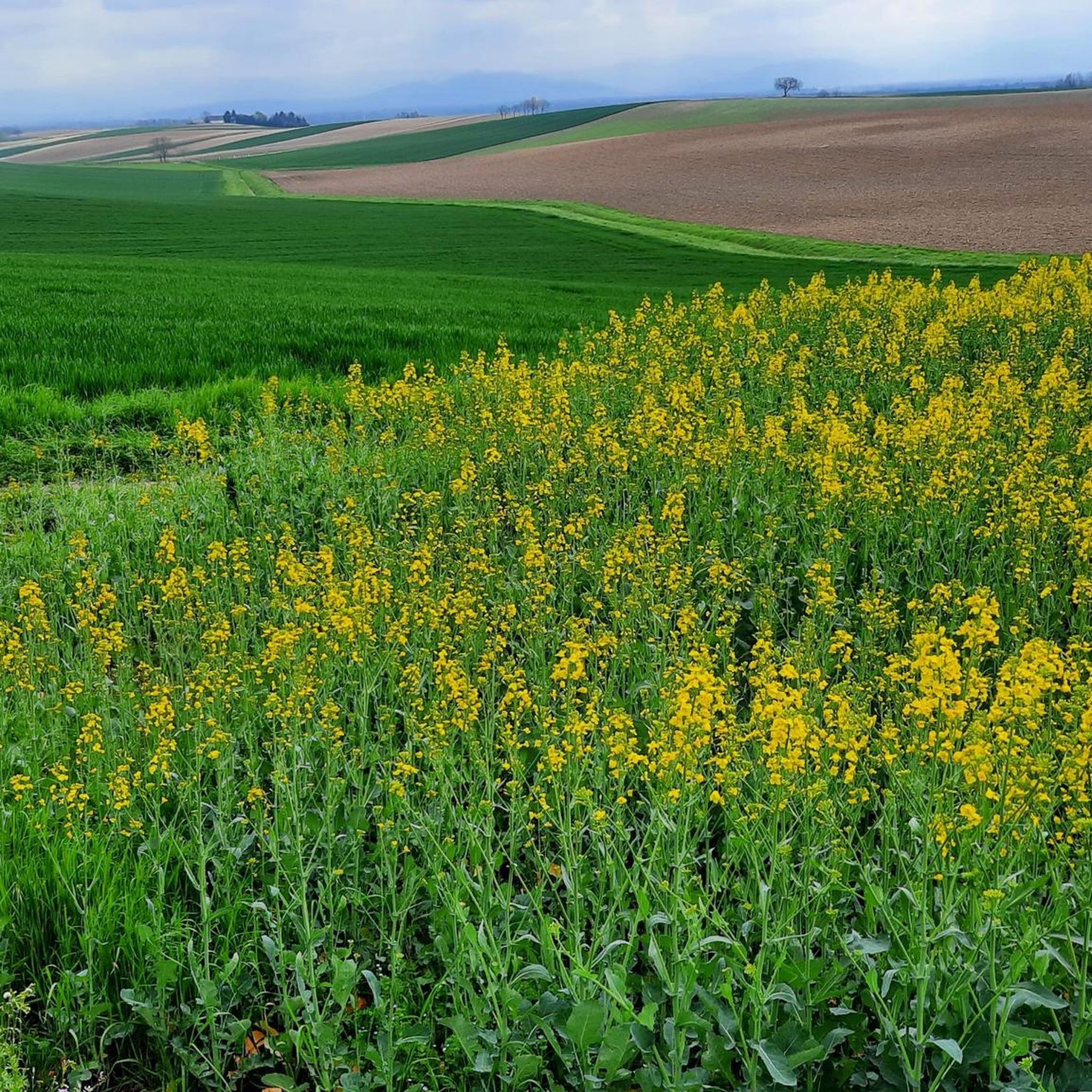
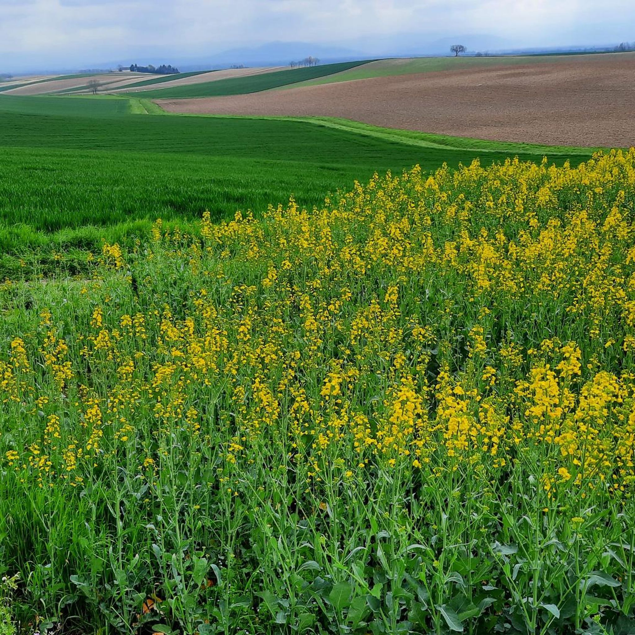
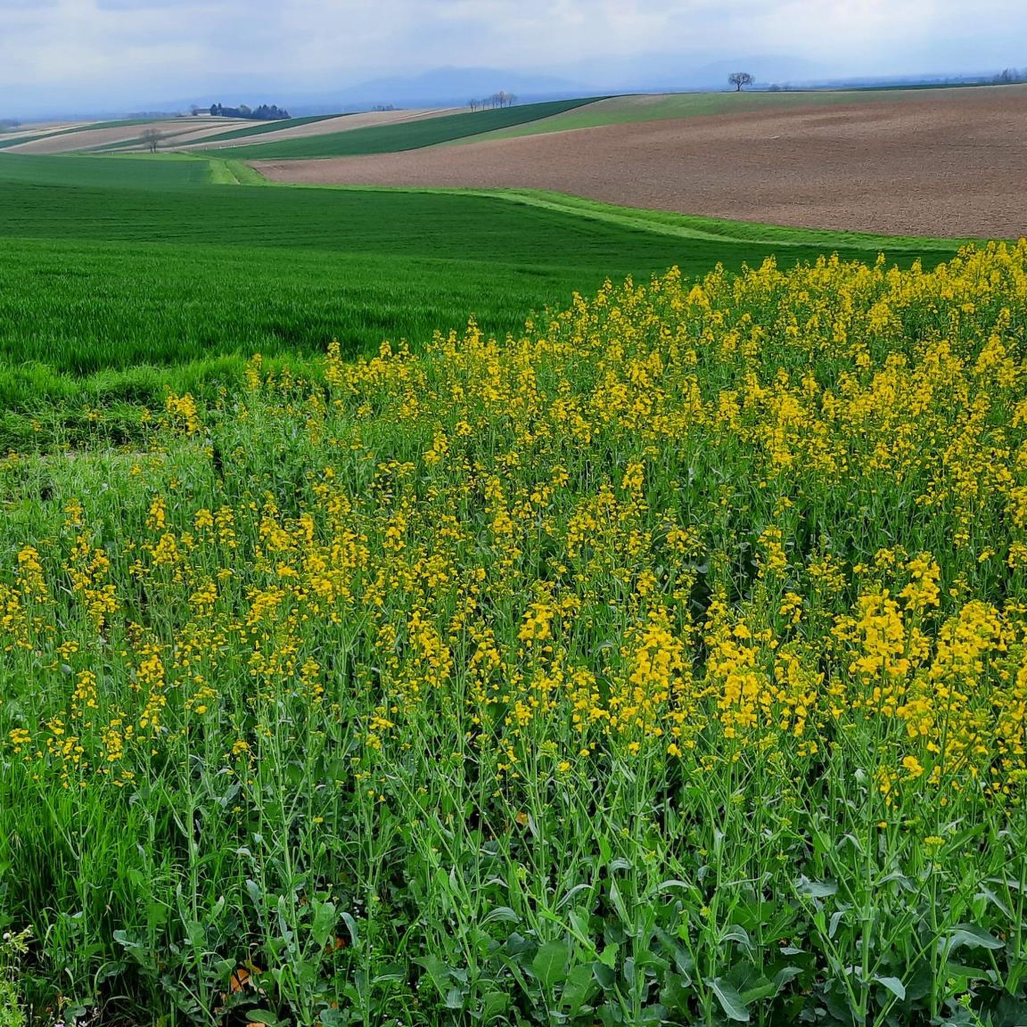
beautiful landscape in Alsace
0
0

Headwind? Then just drive in the other direction. Or check the weather forecast beforehand. You wouldn't believe it...
1
0


Hermerswiller is a small village with some beautiful, remarkably well-maintained half-timbered buildings.
1
0
Frequently Asked Questions
How many road cycling routes are available around Trimbach?
There are over 200 road cycling routes around Trimbach, offering a diverse range of experiences from challenging mountain passes to more gentle plains and forested areas. Over 80 of these routes are rated as easy, making them accessible for various skill levels.
What is the best time of year for road cycling in Trimbach?
The months of May and June are particularly popular for road cycling around Trimbach, offering favorable conditions to explore the diverse routes and enjoy the region's natural beauty.
Are there road cycling routes suitable for beginners or families in Trimbach?
Yes, Trimbach offers a good selection of routes suitable for beginners and families. With 83 routes rated as easy, you can find paths with less elevation gain. An example of an easy route is the Minzbrueck Bakery loop from Aschbach, which is 7.2 miles (11.6 km) long and leads through picturesque countryside.
What kind of terrain can I expect on road cycling routes around Trimbach?
Road cycling around Trimbach features a diverse topography. You can expect routes that traverse mountainous terrain with challenging passes, as well as more gentle plains and rugged, forested areas. The region is known for its accessible mountain peaks and passes, offering both physical challenges and rewarding panoramic views.
Are there any scenic viewpoints along the road cycling routes in Trimbach?
Yes, the region around Trimbach boasts several scenic viewpoints. Notable spots include the Geissflue Viewpoint, offering an ingenious view of the Baden region, Alsace, and the Basel area, and the Wisenberg Observation Tower for elevated views. The Belchenflue Summit Viewpoint also promises a panoramic experience. You might enjoy the Wonderful panoramic route – Seebach Town Hall loop from Seebach for its scenic vistas.
What are some notable natural attractions to see while road cycling in Trimbach?
Beyond the cycling routes themselves, the area around Trimbach features natural monuments and dramatic geological formations. The Tüfels Gorge is a beautiful path that cyclists might encounter. You can also explore the Sauer Delta Nature Reserve, which is a significant natural highlight in the region.
Are there any circular road cycling routes available in Trimbach?
Yes, many road cycling routes around Trimbach are designed as loops. For instance, the popular Secondary route with new asphalt – Seebach Town Hall loop from Seebach is a 14.4-mile (23.1 km) circular trail known for its newly paved asphalt. Another option is the Kleinbruehl ⟷ Betschdorf – Seebach Town Hall loop from Buhl, a moderate 27.1-mile (43.6 km) loop traversing varied terrain.
What do other road cyclists say about the routes in Trimbach?
The road cycling routes in Trimbach are highly rated by the komoot community, with an average score of 4.7 stars from over 120 reviews. More than 3000 road cyclists have used komoot to explore Trimbach's varied terrain, often praising the diverse landscapes and the quality of the paths.
Are there any historical or man-made landmarks near the cycling routes?
Yes, the region offers a mix of natural and man-made attractions. You can find highlights such as the Seltz–Plittersdorf Cable Ferry, the German-French border crossing in Scheibenhardt, and the Redoubt of the Lauter Line, which is a historical site.
How challenging are the road cycling routes around Trimbach?
The routes around Trimbach cater to various difficulty levels. While there are 83 easy routes, there are also 99 moderate and 18 difficult routes for those seeking more challenging ascents and longer distances. The region's mountainous terrain ensures options for experienced cyclists looking for significant elevation gains.
Can I access road cycling routes in Trimbach using public transport?
While specific public transport connections to individual trailheads are not detailed here, Trimbach is a well-connected area in Switzerland. It's advisable to check local public transport schedules for trains or buses that can bring you close to your desired starting points, especially if you plan to explore routes further afield.
Most popular attractions around Trimbach

Get inspired with the komoot mobile app


Explore more
Browse the best Road cycling routes in other regions.
