The best walks and hikes around Girefontaine
4.1
(99)
395
hikers
28
hikes
Hiking around Girefontaine offers trails through the rural landscape of Haute-Saône, France. The area is characterized by its gentle hills and the presence of the Planey Spring, a notable natural feature. The terrain generally consists of mixed woodlands and open fields, providing varied scenery for outdoor activities. Elevation changes are typically mild, making many routes accessible.
Best hiking trails around Girefontaine
- The most popular hiking route is Source du Planey — loop from Bouligney, a 5.6 miles (9.0 km)…
Last updated: October 8, 2026
4.2
(19)
76
hikers
8.95km
02:23
100m
100m
Moderate hike. Good fitness required. Easily-accessible paths. Suitable for all skill levels.
3.5
(16)
62
hikers
8.60km
02:20
120m
120m
Moderate hike. Good fitness required. Easily-accessible paths. Suitable for all skill levels.

3.2
(12)
48
hikers
6.22km
01:41
80m
80m
Easy hike. Great for any fitness level. Easily-accessible paths. Suitable for all skill levels.
4.5
(2)
13
hikers
6.29km
01:44
110m
110m
Easy hike. Great for any fitness level. Easily-accessible paths. Suitable for all skill levels.
4.0
(1)
2
hikers
Moderate hike. Good fitness required. Easily-accessible paths. Suitable for all skill levels.
Get access to more routes and recommendations from other explorers.
Already have an account?
Our route recommendations are based on thousands of hikes, rides, and runs completed by other people on komoot.
Start today with a free account
Your next adventure awaits.
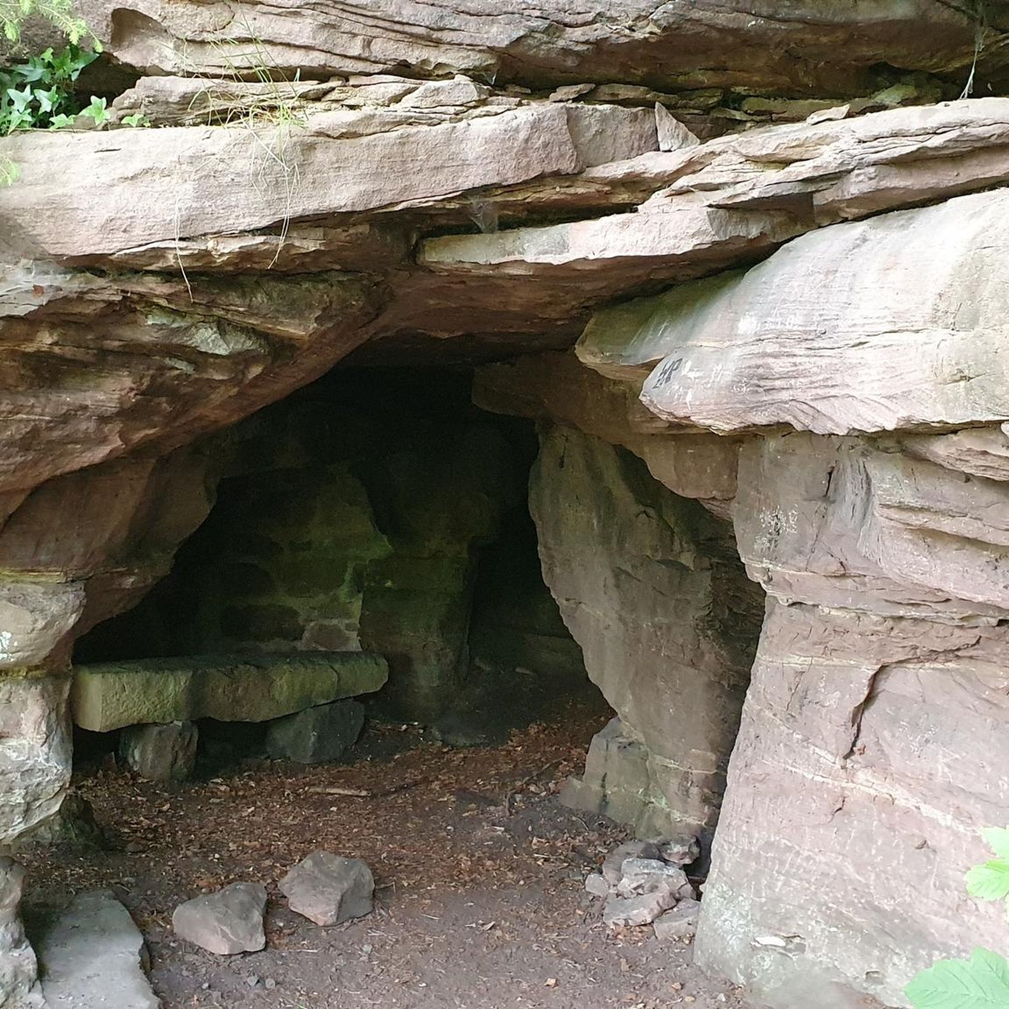

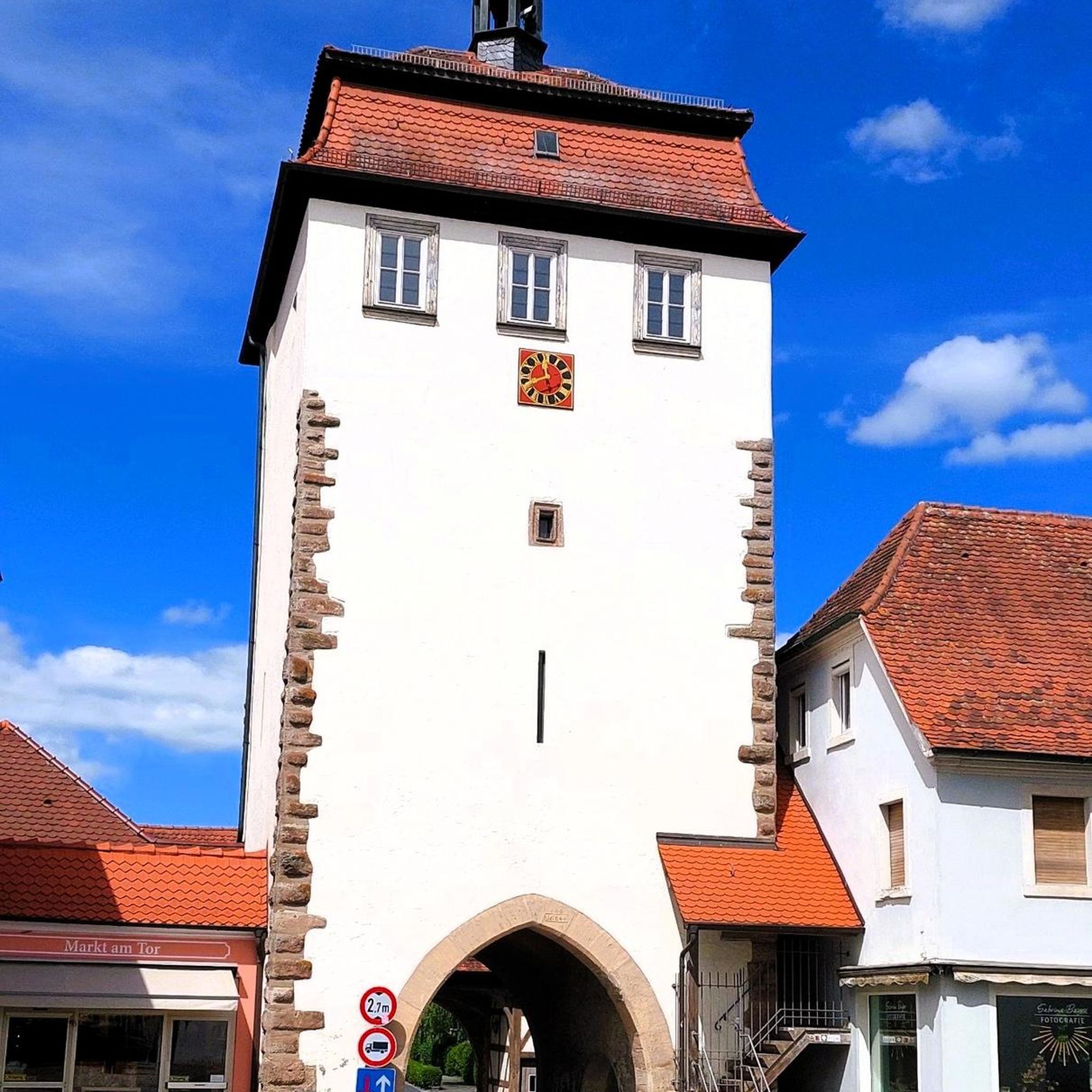

Tips from the Community

beautiful and historic bridge
0
0

The closer you get to the actual source, the stronger the blue color of the crystal clear water becomes!
7
0


In Selles, a nice little country town between Canal des Vosges and Coney. Another curiosity for lovers of good artisanal bread as we do more of these days.... The bakery makes its bread the old-fashioned way with the same recipe as in the 1930s. Enough to take you on a journey to a totally unknown culinary country, with unprecedented taste quality. The pastry cakes are on the same model: EXCELLENTISSIME! They also have a small convenience store with drinks...
4
0
After 1871, the decision was taken to establish a north-south connection from the Moselle to the Saône on the western slope of the Vosges: construction of the Canal de l'Est, which would be completed in 1886. At the entrance to the village of Selles , the canal doubles the river: stone bridge over the river, metal swing bridge over the canal. The rotating bridge, with simple mechanics (articulated metal deck and pivot allowing its rotation), is still operated manually in 1994 by an employee of the navigation service who lives in the small neighboring house
2
0

Metal swing bridge over the Eastern Canal, built during the second part of the 19th century, Selles being a boatman's village at the time. The bridge still works and is manually operated. It is classified as a Historic Monument. A picnic area has been set up right next to it, between the canal and the Côney. Don't hesitate to take a break there, or even take a swim in the Côney.
1
0
Frequently Asked Questions
How many hiking trails are available around Girefontaine?
Girefontaine offers a good selection of hiking trails, with over 25 routes available. These range from easy strolls to more moderate hikes, ensuring there's something for various fitness levels.
What is the general terrain like for hiking in Girefontaine?
The terrain around Girefontaine is characterized by gentle hills, mixed woodlands, and open fields. Elevation changes are typically mild, making many routes accessible and enjoyable for a relaxed outdoor experience. You'll find paths winding through rural landscapes, offering varied scenery.
Are there any notable natural features or landmarks to see while hiking in Girefontaine?
Absolutely! The most prominent natural feature is the Planey Spring, a significant natural spring that many trails incorporate. You might also encounter parts of the Canal des Vosges or the La voie bleue, which offer pleasant waterside paths.
What do other hikers enjoy most about the trails in Girefontaine?
The trails in Girefontaine are highly rated by the komoot community, with an average score of 4.1 stars from over 80 reviews. Hikers often praise the quiet woodlands, the gentle nature of the paths, and the scenic beauty of the Planey Spring.
Are there easy hiking options suitable for beginners or families in Girefontaine?
Yes, Girefontaine is very welcoming for beginners and families, with 11 easy routes available. A great option is the Planey Spring – Beautiful picnic area loop from La Pisseure, which is just over 3 km long with minimal elevation gain, perfect for a relaxed outing.
Can I find circular hiking routes in Girefontaine?
Many of the trails around Girefontaine are designed as loops, offering convenient circular walks. For example, the popular Source du Planey — loop from Bouligney provides a moderate circular experience, taking you past the famous spring.
Are there any trails that feature a picnic area?
Yes, several trails pass by designated picnic spots. The Planey Spring – Beautiful picnic area loop from Anjeux is an easy route that specifically highlights a beautiful picnic area, perfect for a leisurely break amidst nature.
What is the longest moderate hike available in Girefontaine?
For a longer moderate challenge, consider the Beautiful picnic area – Le Planey loop from Bouligney. This route spans approximately 8.6 km and features around 122 meters of elevation gain, offering a good workout while still being manageable for most hikers.
Are there any trails that are particularly good for experiencing the woodlands?
Many routes traverse the mixed woodlands of Girefontaine. The Le Planey – Planey Spring loop from Anjeux is an excellent choice, leading you through local woodlands and open countryside, providing a diverse natural experience.
Is there a trail that offers a good balance of natural features and a moderate challenge?
The Source du Planey — loop from Bouligney is a fantastic option. It's a moderate 8.9 km trail that takes you directly to the significant Planey Spring, combining natural beauty with a satisfying hike.
Most popular attractions around Girefontaine

Get inspired with the komoot mobile app


Explore more
Browse the best Hikes in other regions.
