The best cycling routes around Mignavillers
4.5
(177)
853
riders
70
rides
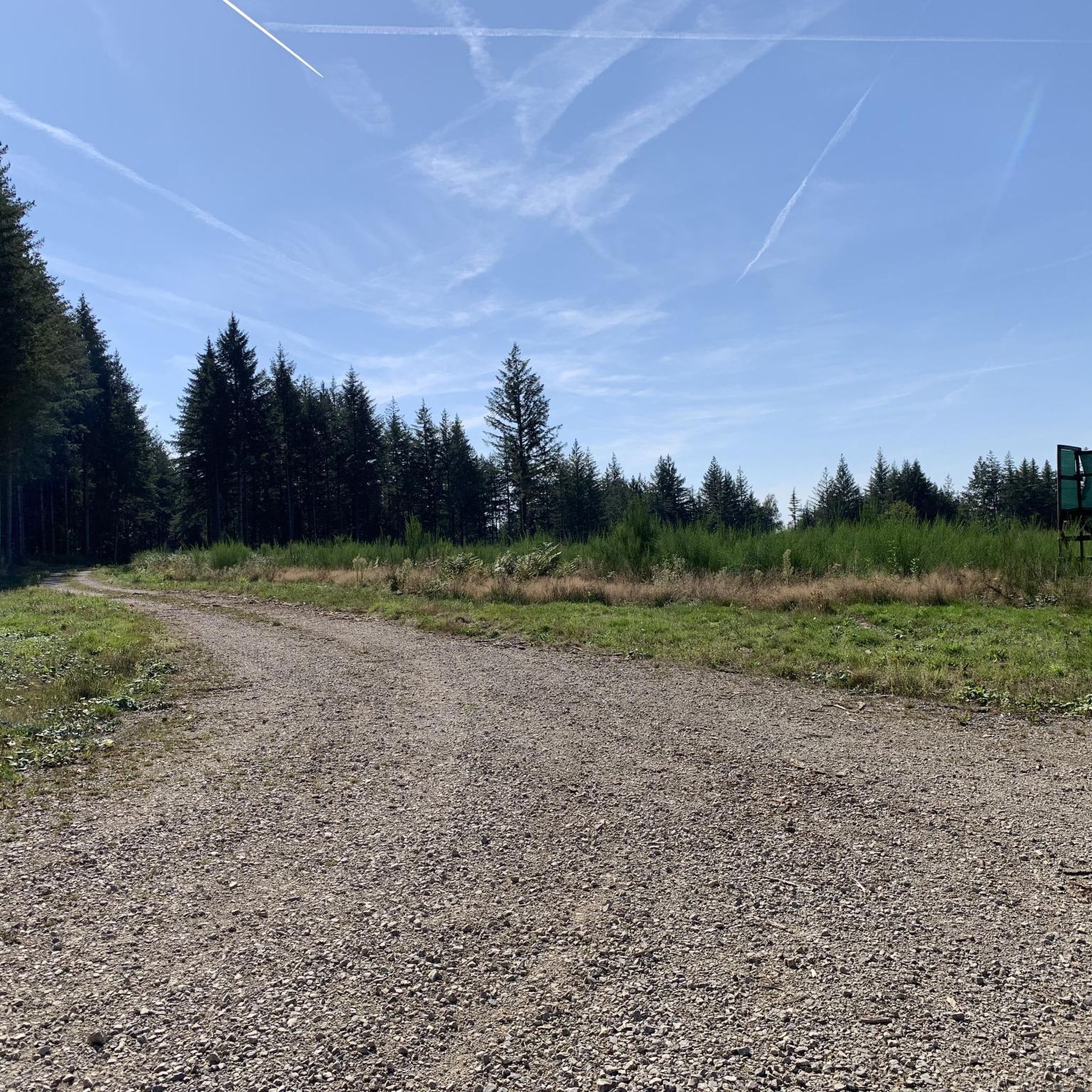
Touring cycling around Mignavillers is characterized by its varied terrain, including river valleys, rolling hills, and agricultural landscapes. The region features a network of roads and paths that traverse woodlands and open countryside, offering diverse cycling experiences. Elevation changes are generally moderate, making the area accessible for a range of fitness levels.
Best touring cycling routes around Mignavillers
- The most popular touring cycling route is Saline Recreation Area – L'Ognon River at Lure loop from Lomont, a 18.6 miles…
Last updated: November 4, 2026
5.0
(1)
4
riders
29.4km
01:55
230m
230m
Moderate bike ride. Good fitness required. Mostly paved surfaces.
4.0
(2)
10
riders
21.7km
01:33
70m
70m
Easy bike ride. Mostly paved surfaces.

5
riders
10.3km
00:36
70m
70m
Easy bike ride. Mostly paved surfaces.
5.0
(1)
5
riders
39.7km
02:25
270m
270m
Moderate bike ride. Good fitness required. Mostly paved surfaces.
5
riders
60.1km
03:50
680m
670m
Hard bike ride. Very good fitness required. Mostly paved surfaces.
Get access to more routes and recommendations from other explorers.
Already have an account?
Our route recommendations are based on thousands of hikes, rides, and runs completed by other people on komoot.
Start today with a free account
Your next adventure awaits.



Tips from the Community

Very beautiful cave to see at the bend in the main path near Villers sous Saulnot
0
0

La Vergenne is a former industrial estate linked to pottery, located near Athesans. It still boasts a 19th-century kiln, typical of the region, as well as several buildings related to production.
1
0


The base of the Saline is a perfect leisure area for enjoying outdoor activities such as hiking, running or cycling. There are several picnic spots there. Swimming is prohibited.
2
0
This stone bridge with three arches crosses the Ognon river in Lure. The views of the river and the surroundings are magnificent. There is a small dam that regulates the water flow and prevents floods.
2
0
Along the Reigne there is a promenade which leads to a picturesque mill. The walk is accessible and pleasant, perfect for a nature break!
1
0

The greenway, from the Base de la Saline, winds between the ponds of the Pays de Lure to the Coast!
2
0
Frequently Asked Questions
How many touring cycling routes are available around Mignavillers?
There are over 80 touring cycling routes in the Mignavillers area, offering a wide variety of experiences for different skill levels.
What is the general terrain like for touring cycling in Mignavillers?
The region features varied terrain, including river valleys, rolling hills, and agricultural landscapes. Routes often traverse woodlands and open countryside, with generally moderate elevation changes, making it accessible for many fitness levels.
Are there easy touring cycling routes suitable for beginners or families?
Yes, Mignavillers offers a good selection of easy routes. For instance, the Saline Recreation Area loop from Moffans-et-Vacheresse is an easy 13.5-mile (21.7 km) path with gentle gradients, perfect for a relaxed ride. Another option is the Bike loop from Frotey-lès-Lure, a shorter 6.4-mile (10.3 km) trail through local landscapes.
Are there any challenging touring cycling routes for experienced riders?
For those seeking a challenge, the Gonvillars Cave – Voie du Tacot loop from Moffans-et-Vacheresse is a difficult 37.3-mile (60.0 km) route with significant elevation gain, offering a more demanding experience.
What kind of attractions can I see along the touring cycling routes?
Many routes pass by interesting landmarks and natural features. You might encounter the Gonvillars Cave, the historic Château de Villersexel, or the scenic Bridge Over the Ognon. The Saline Recreation Area is also a popular spot for cyclists.
Are most touring cycling routes in Mignavillers circular or point-to-point?
Many of the popular touring cycling routes in Mignavillers are designed as loops, allowing you to start and finish at the same location. Examples include the Saline Recreation Area – L'Ognon River at Lure loop from Lomont and the La Vergenne – The Mill and the Reigne loop from Lomont.
What is the best season for touring cycling in Mignavillers?
The moderate elevation changes and varied landscapes make Mignavillers enjoyable for touring cycling across multiple seasons. Spring and autumn generally offer pleasant temperatures and beautiful scenery, while summer is also popular, especially along river valleys.
What do other touring cyclists enjoy most about cycling in Mignavillers?
The area is highly rated by the komoot community, with an average score of 4.6 stars from over 160 reviews. Reviewers often praise the varied terrain, the peaceful river valleys, and the well-maintained paths that cater to different ability levels.
Are there places to eat or drink along the touring cycling routes?
While specific cafes and pubs are not listed for every route, the region's agricultural and village landscapes mean you'll often find opportunities for refreshments in towns and villages along or near the routes. Planning your stops in advance is recommended.
Is parking generally available near the starting points of the routes?
Many routes start from or pass through villages and recreational areas where public parking is typically available. For specific routes, it's advisable to check the route details on komoot for recommended parking spots near the trailhead.
Can I access touring cycling routes in Mignavillers using public transport?
While Mignavillers is a rural area, some larger towns nearby may have public transport connections. However, direct access to specific trailheads by public transport might be limited. It's best to research local bus or train services to the nearest towns and plan accordingly.
Most popular attractions around Mignavillers

Get inspired with the komoot mobile app


Explore more
Browse the best Cycling routes in other regions.
