The best walks and hikes around Chaussan
4.5
(1854)
9,659
hikers
12
hikes
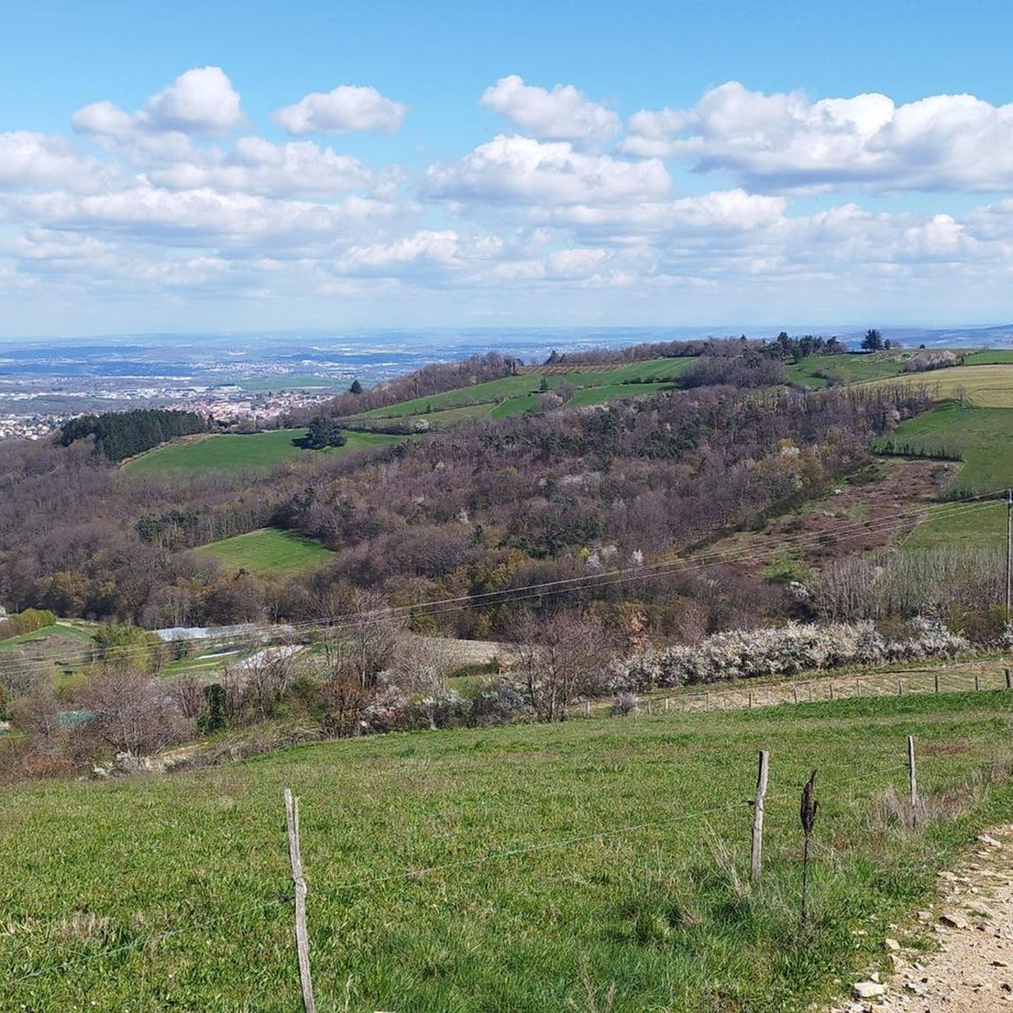
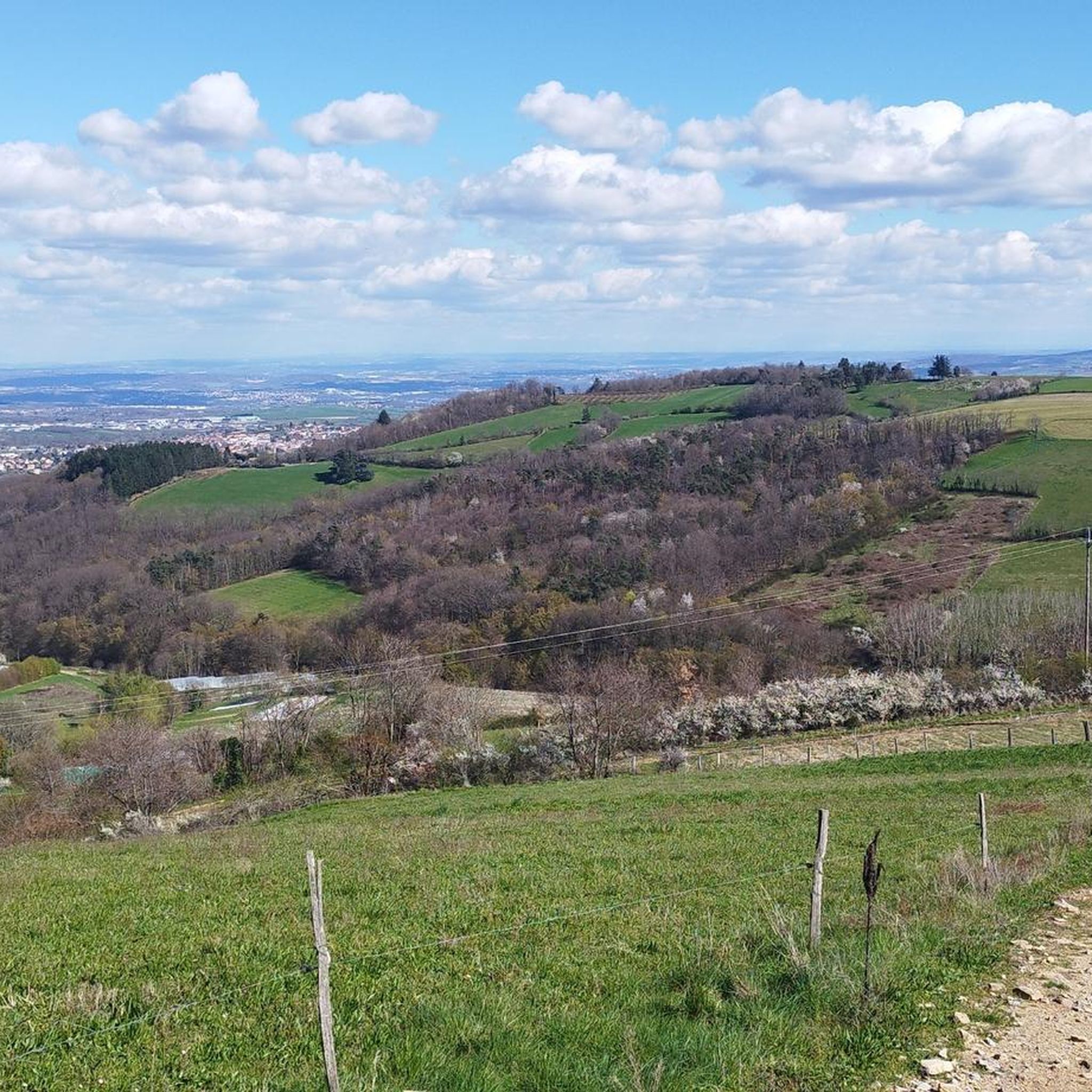
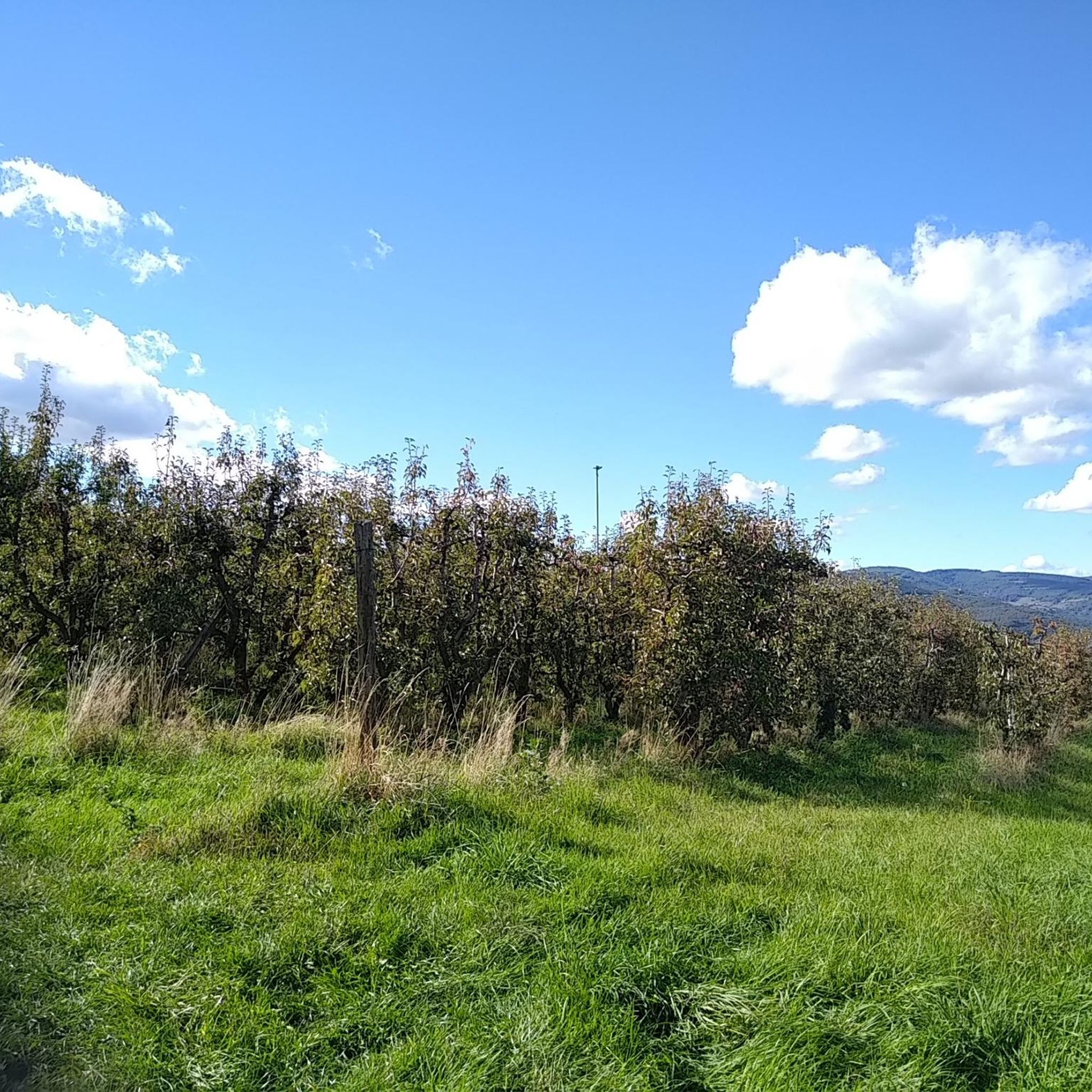
Hiking around Chaussan offers a network of trails through a rural landscape, characterized by rolling hills and varied terrain. The area features elevations, including the Signal St André at 934m, providing views over the surrounding countryside. Trails often traverse open fields, woodlands, and paths connecting small villages. The region's topography supports a range of hiking experiences, from gentle loops to more challenging ascents.
Best hiking trails around Chaussan
- The most popular hiking route is Hiking loop from Saint-André-la-Côte, an…
Last updated: November 5, 2026
5.0
(6)
30
hikers
8.42km
02:29
230m
230m
Moderate hike. Good fitness required. Easily walkable paths.
9
hikers
9.97km
03:13
440m
440m
Moderate hike. Good fitness required. Easily walkable paths.

5.0
(4)
26
hikers
15.4km
04:39
480m
480m
Moderate hike. Good fitness required. Easily walkable paths.
5.0
(2)
6
hikers
7.75km
02:19
240m
240m
Moderate hike. Good fitness required. Easily walkable paths.
4
hikers
Moderate hike. Good fitness required. Easily walkable paths.
Get access to more routes and recommendations from other explorers.
Already have an account?
Our route recommendations are based on thousands of hikes, rides, and runs completed by other people on komoot.
Start today with a free account
Your next adventure awaits.

Tips from the Community

Ideal for a short break in the middle of the hike.
0
0
The Signal site, an emblematic highest point in the Monts du Lyonnais, located at 934 meters, equipped with a belvedere and an orientation table.
1
0

Interesting is the Cassini terminal, where the first surveys were carried out in 1758 to draw up the map of Lyon, a moment in history.
1
0
The 2 orientation tables at the Signal de St-André (at 934m) offer a panorama of the Rhône valley and the Metropolis of Lyon, and on clear days as far as the Alps.
1
0

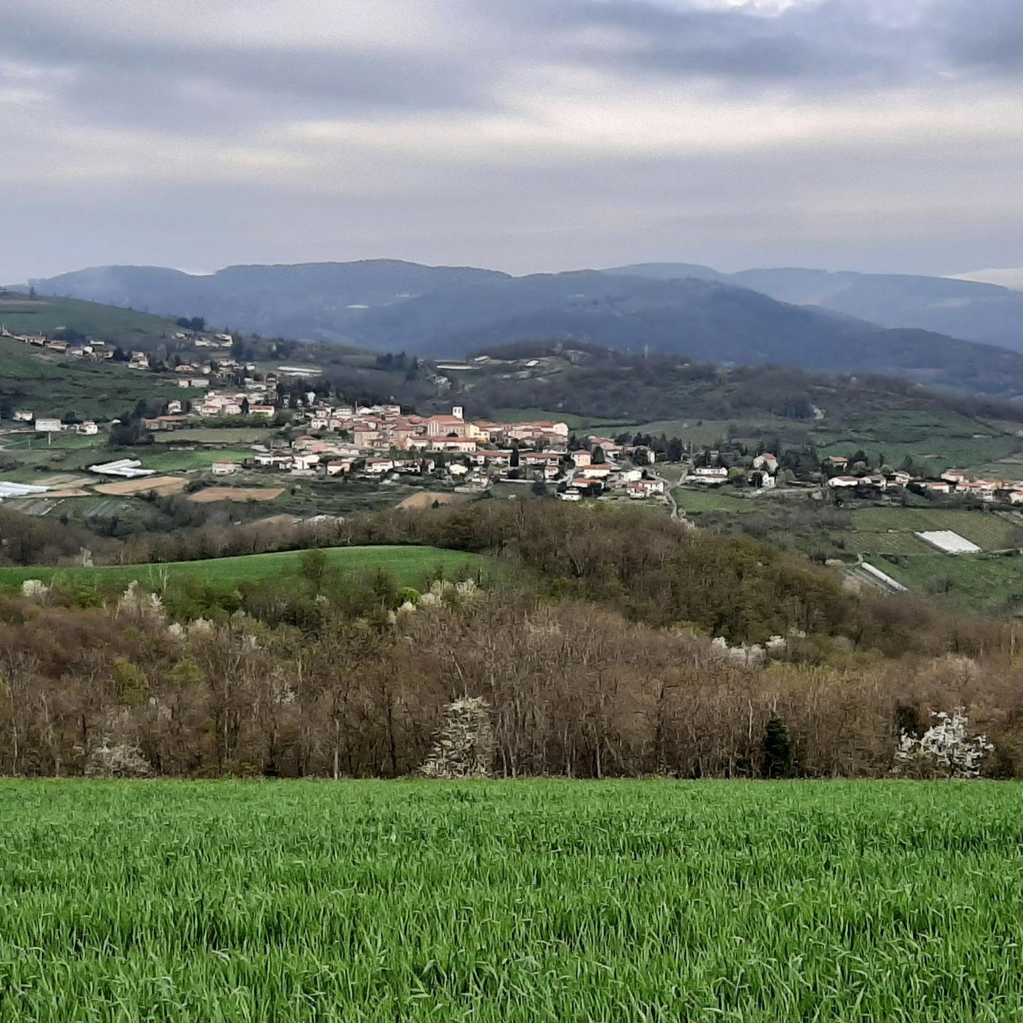
Small square with the town hall and the church. Break before starting the climb towards the Crêt du Bouchat to the east.
0
0

The highest point of the Monts du Lyonnais, the Signal du Saint-André site has been fitted out with a belvedere and an orientation table. The viewpoint offers a 180 degree panorama over the Rhone Valley and the Alps when the weather is clear.
2
1

The highest point of the MDL is the Crêt Malherbe with an altitude of 946m against 934m for the Signal de Saint-André
3
0

A nice view from the Crêt de Bouchat
1
0
Frequently Asked Questions
How many hiking trails are available around Chaussan?
There are over 540 hiking routes available around Chaussan, offering a wide variety of options for different skill levels and preferences. This includes over 170 easy routes, more than 320 moderate trails, and nearly 50 difficult hikes.
What kind of terrain can I expect on hikes around Chaussan?
Hikes around Chaussan typically feature rolling hills, rural paths, and varied terrain. You'll often traverse open fields, woodlands, and paths connecting small villages. The region's topography includes elevations, with the highest point being the Signal St André at 934m, offering views over the surrounding countryside.
Are there any easy or beginner-friendly hiking routes in Chaussan?
Yes, Chaussan offers many easy routes suitable for beginners. For example, the Hiking loop from Saint-André-la-Côte is an easy 2.6-mile (4.2 km) trail that provides a gentle introduction to the local landscape. Another accessible option is the Signal St André (at 934m) loop from Saint-André-la-Côte, which is 4 miles (6.4 km) and also rated easy.
Can I find circular hiking routes near Chaussan?
Yes, many of the hiking routes around Chaussan are circular, allowing you to start and end at the same point. A popular moderate circular route is the Grande Croix des Ravières loop from Chaussan, which is 5.2 miles (8.4 km) long and takes you through rural paths and hills.
Are there any family-friendly hiking options in Chaussan?
For families, easy and shorter loops are generally recommended. The Hiking loop from Saint-André-la-Côte is a good choice, being only 2.6 miles (4.2 km) with gentle elevation, making it suitable for a leisurely family outing.
Are dogs allowed on the hiking trails around Chaussan?
While specific regulations for dogs on every trail are not detailed, generally, dogs are welcome on many outdoor trails in France, especially if kept on a leash. It's always advisable to check local signage at trailheads for any specific restrictions or protected areas where dogs might not be permitted.
What are the notable landmarks or points of interest I can see while hiking near Chaussan?
While hiking near Chaussan, you can explore several interesting points. The Le Signal de Saint André is a prominent summit offering great views. Other nearby attractions include the Saint Vincent Chapel, the historic Garon siphon bridge — Roman aqueduct of the Gier, and the serene Lac du Ronzey.
Is there parking available at the trailheads around Chaussan?
Parking availability can vary by trailhead. For popular starting points like those for routes around Saint-André-la-Côte or Chaussan itself, you can often find designated parking areas in or near the villages. It's recommended to check maps or local information for specific parking locations before your hike.
How can I reach the hiking trails around Chaussan using public transport?
Information regarding specific public transport routes directly to Chaussan's trailheads is not readily available. The area is rural, so public transport options might be limited. Driving to the trailheads is often the most convenient way to access hikes in this region.
What is the best time of year to go hiking in Chaussan?
The best time to hike around Chaussan generally depends on your preference. Spring and autumn offer pleasant temperatures and beautiful scenery, with spring bringing wildflowers and autumn showcasing colorful foliage. Summer can be warm, but higher elevation trails might offer cooler conditions. Winter hiking is possible, but trails may be muddy or icy, especially at higher altitudes.
What do other hikers say about the trails in Chaussan?
The trails around Chaussan are highly rated by the komoot community, with an average score of 4.5 stars from over 1400 reviews. Hikers often praise the varied terrain, the peaceful rural paths, and the scenic views from elevated points like Signal St André.
Are there any longer or more challenging hikes for experienced hikers?
Yes, for experienced hikers seeking a challenge, the Le Signal de Saint André – Signal St André (at 934m) loop from Saint-André-la-Côte is a moderate 9.2-mile (14.9 km) path. This trail features significant elevation gain, leading to the highest point in the area, the Signal St André.
Most popular attractions around Chaussan

Get inspired with the komoot mobile app


Explore more
Browse the best Hikes in other regions.
