The best running trails around Saint-Trimoël
4.4
(70)
3,286
runners
236
runs
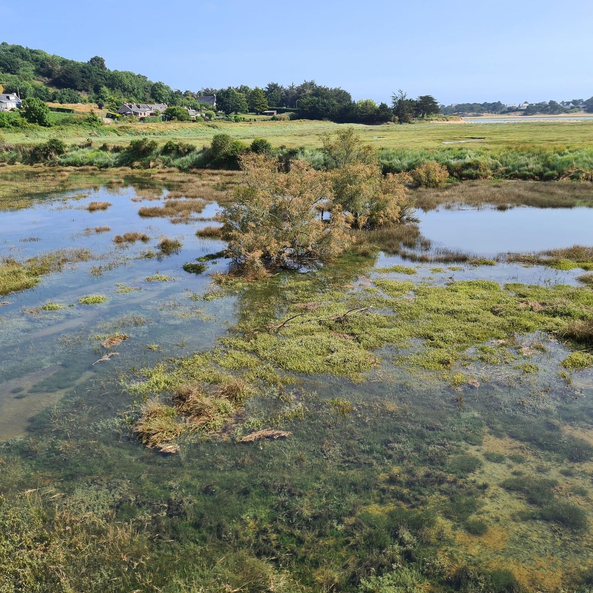
Jogging routes around Saint-Trimoël traverse a tranquil, rural landscape in Brittany, France, characterized by a mix of waterways and verdant surroundings. The area features a varied topography with altitudes ranging from 68 to 154 meters, offering gentle inclines and descents. Key natural features include the Plan d'eau du Moulin de Corbel and the Gouessant River, providing scenic backdrops for running. This commune offers accessible trails suitable for various outdoor activities.
Best jogging routes around Saint-Trimoël
- The most popular jogging route…
Last updated: July 18, 2026
3.0
(1)
28
runners
4.61km
00:29
30m
30m
Easy run. Great for any fitness level. Mostly paved surfaces. Suitable for all skill levels.
14
runners
9.28km
01:06
60m
60m
Moderate run. Good fitness required. Mostly paved surfaces. Suitable for all skill levels.

Sign up for free
8
runners
10.8km
01:10
60m
60m
Moderate run. Good fitness required. Mostly paved surfaces. Suitable for all skill levels.
4
runners
14.0km
01:34
90m
90m
Moderate run. Good fitness required. Mostly paved surfaces. Suitable for all skill levels.
4
runners
8.93km
00:56
50m
60m
Moderate run. Good fitness required. Mostly paved surfaces. Suitable for all skill levels.
Get access to more routes and recommendations from other explorers.
Sign up for free
Already have an account?
Our route recommendations are based on thousands of hikes, rides, and runs completed by other people on komoot.
Start today with a free account
Your next adventure awaits.
Login or Signup


Frequently Asked Questions
How many jogging routes are available in Saint-Trimoël?
There are over 200 jogging routes around Saint-Trimoël, offering a wide variety of options for runners of all levels. This includes 15 easy routes, 173 moderate routes, and 32 more challenging trails.
What kind of terrain can I expect on the running trails in Saint-Trimoël?
The running trails in Saint-Trimoël feature a varied terrain, including forest paths, dirt roads, and some smaller paved sections. You'll encounter gentle inclines and descents, with altitudes ranging from 68 to 154 meters, providing a diverse experience for trail runners.
Are there any family-friendly jogging routes in the area?
Yes, Saint-Trimoël offers several easy routes suitable for families. For instance, the Running loop from Bréhand is an easy 4.6 km trail that takes about 30 minutes to complete, winding through wooded valleys and characteristic rock formations.
Can I bring my dog on the jogging trails?
While specific regulations for dogs vary, most rural trails in the Saint-Trimoël area are generally dog-friendly, especially if your dog is kept on a leash. It's always a good idea to be mindful of local wildlife and other trail users.
Are there any circular running routes in Saint-Trimoël?
Yes, many of the running paths in Saint-Trimoël are circular, making them convenient for starting and ending at the same point. A popular option is the Étang du Moulin Rault loop from Saint-Trimoël, a moderate 14 km route that circles the scenic lake.
What natural features or landmarks can I see while running?
The region is rich in natural beauty. You can explore tranquil wooded valleys, characteristic rock formations, and small waterfalls. The Gouessant River and the Plan d'eau du Moulin de Corbel offer picturesque water features. For a challenge with views, consider trails near Mount Bel-Air, the highest point in Côtes-d'Armor.
Are there routes with waterfalls in the Saint-Trimoël area?
Yes, some circuits meander through tranquil wooded valleys featuring small waterfalls. The 'Chemin des Lavandières et Cascade de Cambourg' trail, starting from Bréhand, is an example of a route that offers refreshing and scenic views of these natural features.
What do other runners enjoy most about jogging in Saint-Trimoël?
The running routes in Saint-Trimoël are highly rated by the komoot community, with an average score of 4.5 stars from over 50 reviews. Runners often praise the tranquil, rural landscape, the varied topography, and the scenic backdrops provided by waterways like the Plan d'eau du Moulin de Corbel and the Gouessant River.
Are there any longer running routes for experienced runners?
Yes, for experienced runners seeking longer distances, there are several options. The Étang du Moulin Rault loop from Saint-Trimoël is a moderate 14 km path, and many other routes offer moderate elevation changes for a good workout.
Is there parking available near the jogging routes?
While specific parking details for every route are not listed, many trails in rural areas like Saint-Trimoël typically have informal parking spots at trailheads or nearby villages. For routes starting from specific points like the Plan d'eau du Moulin de Corbel or Notre-Dame du Haut chapel, you can often find convenient parking.
What is the best time of year for running in Saint-Trimoël?
Saint-Trimoël offers pleasant running conditions throughout much of the year. Spring and autumn provide mild temperatures and beautiful scenery with changing foliage. Summer is also enjoyable, especially in wooded areas or along water features, while winter can offer crisp, quiet runs, though some paths might be muddier.
Most popular routes around Saint-Trimoël
Most popular attractions around Saint-Trimoël

Get inspired with the komoot mobile app


Explore more
Browse the best Running Trails & Routes in other regions.
