The best road cycling routes around Chambon-Sur-Dolore
4.7
(44)
1,831
riders
164
rides
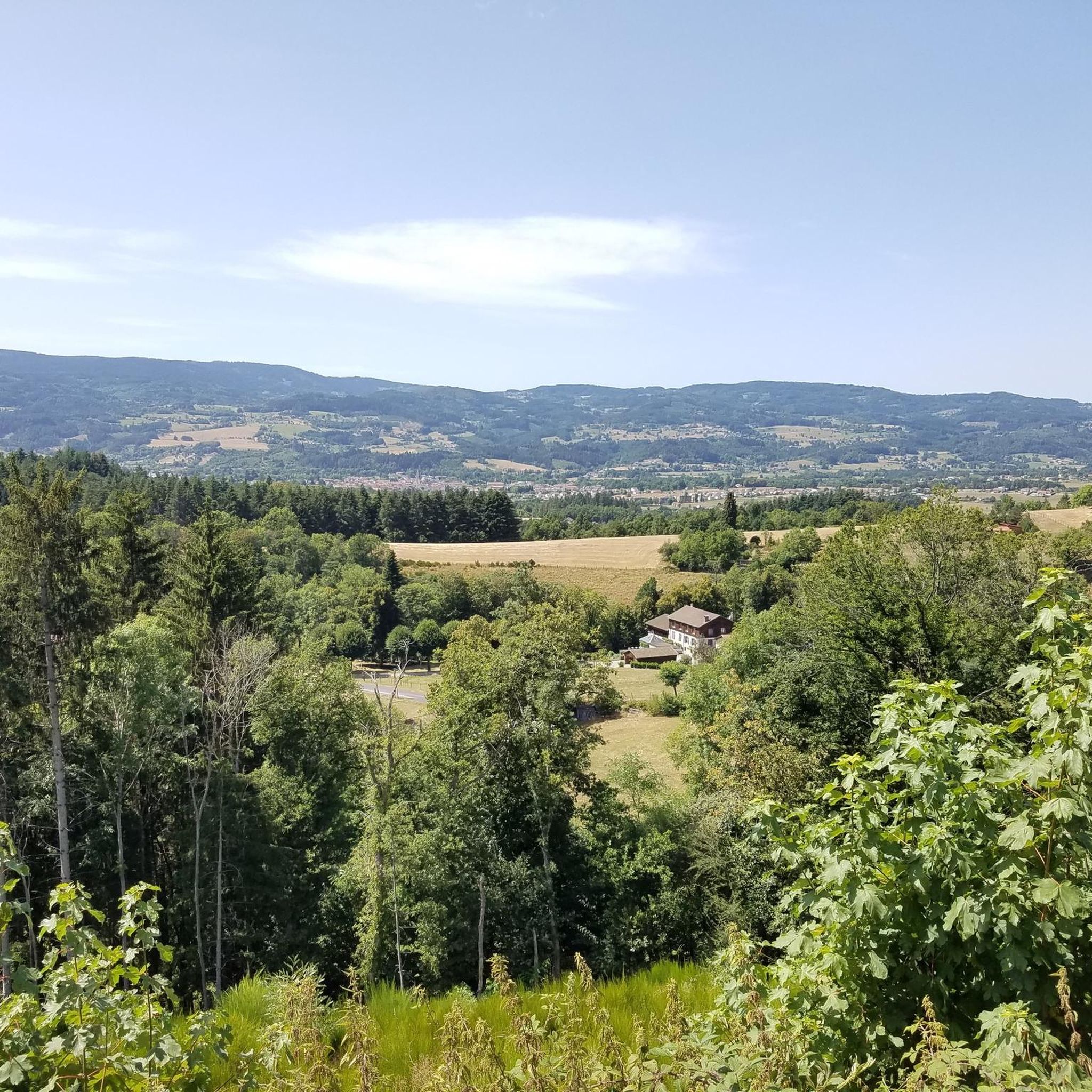
Road cycling around Chambon-Sur-Dolore offers diverse terrain within the Livradois-Forez Regional Natural Park, characterized by mid-mountain landscapes. Cyclists encounter a mix of rolling hills, dense forests, and high-altitude moors. The region features volcanic hills and formations, adding geological interest to the routes. Winding rivers and picturesque valleys also provide serene cycling opportunities.
Best road cycling routes around Chambon-Sur-Dolore
- The most popular road cycling route is Fourches Pass - 970 m – Saint-Jean Church, Ambert loop from Fournols, a 54.8 miles (88.3 km) trail that takes 4 hours 20 minutes to complete, featuring significant elevation changes.
- Another top favourite among local road cyclists is Route forestière Fournols – Col de la Dételée loop from Fournols, a difficult 68.4 miles (110.1 km) path, traversing varied forest and mountain scenery.
- Local road cyclists also love the Cascade de Sauxillanges – Col de la Dételée loop from Fournols, a 34.5 miles (55.6 km) trail leading through forest and open landscapes, often completed in about 2 hours 52 minutes.
- Road cycling around Chambon-Sur-Dolore is defined by rolling hills, dense forests, and volcanic formations. The network offers options for different ability levels, from moderate rides to challenging ascents.
- The routes in Chambon-Sur-Dolore are highly rated by the komoot community with an average score of 4.8 stars from over 50 reviews. More than 2000 road cyclists have used komoot to explore Chambon-Sur-Dolore's varied terrain.
Last updated: May 18, 2026
5.0
(3)
246
riders
87.9km
04:19
1,220m
1,220m
Hard road ride. Very good fitness required. Some segments of this route may be unpaved and difficult to ride.
25
riders
55.6km
02:52
850m
850m
Moderate road ride. Good fitness required. Some segments of this route may be unpaved and difficult to ride.

Sign up for free
13
riders
47.3km
02:37
870m
870m
Moderate road ride. Good fitness required. Some segments of this route may be unpaved and difficult to ride.
20
riders
13.1km
00:42
200m
200m
Easy road ride. Great for any fitness level. Mostly well-paved surfaces and easy to ride.
5.0
(1)
10
riders
38.0km
01:55
550m
550m
Moderate road ride. Good fitness required. Mostly well-paved surfaces and easy to ride.
Get access to more routes and recommendations from other explorers.
Sign up for free
Already have an account?
Our route recommendations are based on thousands of hikes, rides, and runs completed by other people on komoot.
Start today with a free account
Your next adventure awaits.
Login or Signup


Tips from the Community


Small wooded road, few cars, with a pleasant slope to climb.
0
0

The Col de la Dételée is 18.85 km long with a total drop of 606 m. The average gradient is 3.2% with maximum gradients of 9%.
1
0
The Saint-Jean church is a catholic church in Ambert. It was built between 1471 and 1518. It is classified as a historical monument.
2
0

22.8 km climb From Jumeaux (Alt 405m) to the Col de la Dételée (Alt 1075m)
0
0

9 kilometers of climb at an average of 5-6% from Ambert. Attention, very exposed climb, not a single passage in the shade!
0
0

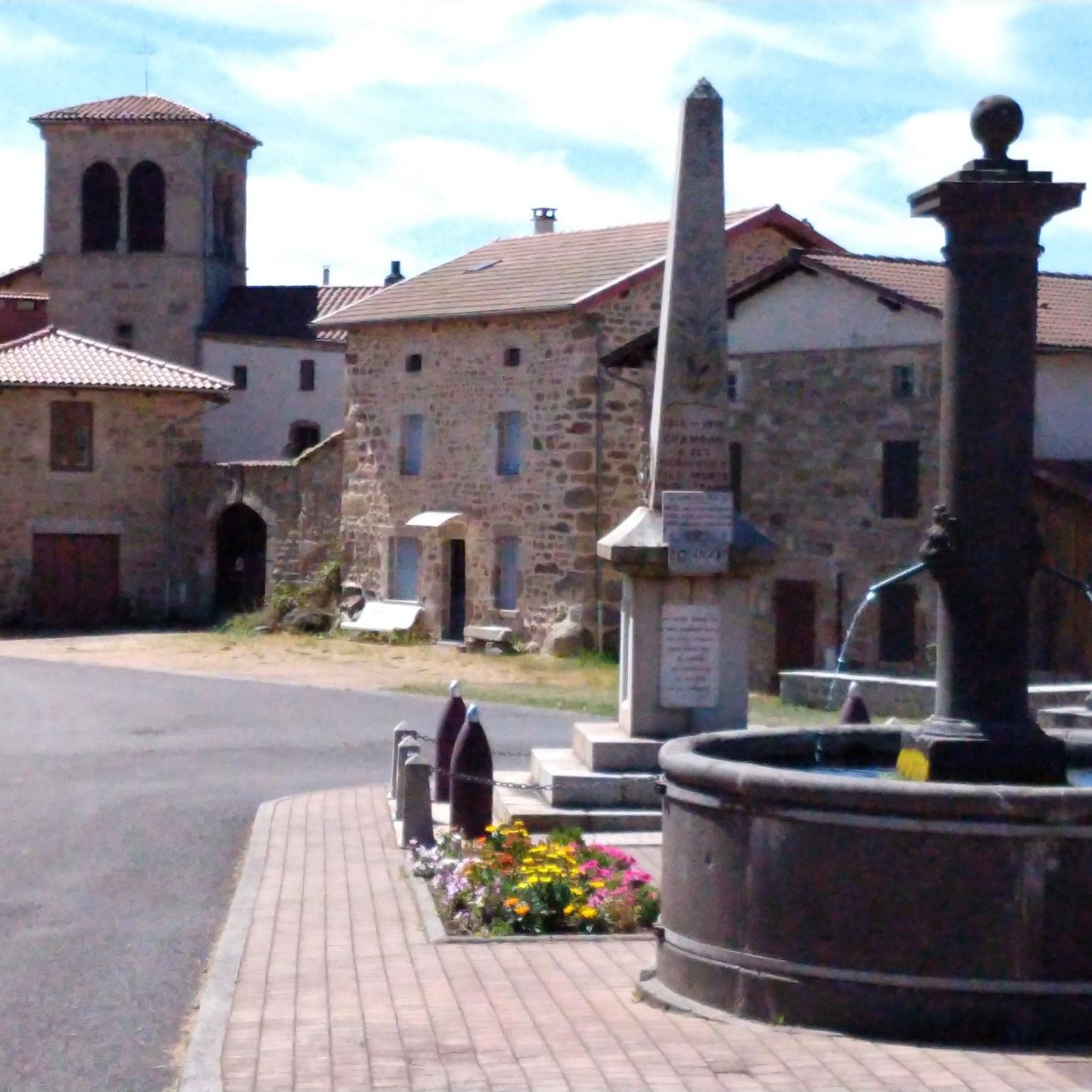
Le Monestier is a very high village, and offers bikepackers the possibility of filling up with water at a fountain or in the public toilets to be found behind the church - these toilets are exceptionally clean! Rather pleasant for a fresh wash!
0
0
Frequently Asked Questions
How many road cycling routes are available around Chambon-sur-Dolore?
There are over 150 road cycling routes around Chambon-sur-Dolore, offering a wide range of options for different skill levels. The komoot community has explored more than 2000 of these routes.
What kind of terrain can I expect on road cycling routes in the Livradois-Forez Regional Natural Park?
The Livradois-Forez Regional Natural Park, encompassing Chambon-sur-Dolore, features diverse mid-mountain terrain. You'll encounter a mix of rolling hills, dense forests, lush green valleys, and high-altitude moors known as 'hautes chaumes.' The region also has volcanic hills and formations, adding unique geological interest to your rides.
Are there challenging road cycling routes for experienced riders?
Yes, the region offers numerous challenging routes. For instance, the Route forestière Fournols – Col de la Dételée loop from Fournols is a difficult 110.1 km path with significant elevation changes. The Col du Béal, reaching 1,400 meters, is a notable pass known for its steep inclines and panoramic views, often featured in professional races.
Are there easier road cycling options for beginners or moderate riders?
Absolutely. While many routes offer significant climbs, there are also moderate options. The Cascade de Sauxillanges – Col de la Dételée loop from Fournols is a moderate 55.6 km trail that leads through forest and open landscapes, suitable for those looking for a less strenuous ride.
What natural features or landmarks can I see while road cycling around Chambon-sur-Dolore?
Road cycling routes often pass through picturesque valleys like the Vallée de l'Ance and offer views of winding rivers. You can also discover attractions such as the Gomot Waterfall or enjoy scenic viewpoints like the View of Saint-Germain-l'Herm. The broader Auvergne region is also known for its volcanic landscapes.
What is the best time of year for road cycling around Chambon-sur-Dolore?
The best seasons for road cycling are generally spring and autumn. During these times, you'll experience pleasant temperatures and vibrant scenery, making for ideal riding conditions. Summers can also be good, but be prepared for potentially warmer weather, especially on exposed sections.
Are there family-friendly road cycling routes in Chambon-sur-Dolore?
While many routes involve significant elevation, the region does offer options for varying abilities. For family-friendly rides, look for routes with less elevation gain and through charming villages, which can provide a more relaxed experience. Always check the route's difficulty and elevation profile before setting out with family.
Are road cycling routes around Chambon-sur-Dolore suitable for cycling with a dog?
Road cycling, especially on public roads, is generally not recommended for cycling with a dog due to safety concerns for both the rider and the animal. The routes around Chambon-sur-Dolore often involve varied terrain and traffic, which may not be suitable for dogs.
What do other road cyclists enjoy the most about road cycling in Chambon-sur-Dolore?
The area is highly rated by the komoot community, with an average score of 4.8 stars from over 50 reviews. Cyclists often praise the diverse terrain, from rolling hills and dense forests to challenging ascents, and the opportunity to explore the natural beauty of the Livradois-Forez Regional Natural Park.
Are there circular road cycling routes available?
Yes, many of the road cycling routes around Chambon-sur-Dolore are designed as loops, allowing you to start and finish in the same location. Examples include the Fourches Pass - 970 m – Saint-Jean Church, Ambert loop from Fournols and the Ambert – Saint-Jean Church, Ambert loop from Fournols.
Are there places to stop for refreshments or accommodation for cyclists?
The Livradois-Forez Regional Natural Park is dotted with charming villages and towns like Ambert, known for its Fourme d'Ambert cheese and medieval heritage. These towns offer opportunities for breaks, refreshments, and accommodation, allowing cyclists to refuel and rest during their rides.
Is parking available for cyclists in Chambon-sur-Dolore?
Yes, as a popular starting point for exploring the Livradois-Forez Regional Natural Park, Chambon-sur-Dolore and surrounding towns typically offer parking facilities. It's advisable to check local signage for specific parking areas suitable for accessing cycling routes.
Most popular routes around Chambon-Sur-Dolore
Most popular attractions around Chambon-Sur-Dolore

Get inspired with the komoot mobile app


Explore more
Browse the best Road cycling routes in other regions.
