The best walks and hikes around Mayres
4.4
(76)
364
hikers
62
hikes
Hiking around Mayres offers diverse landscapes within the Monts d'Ardèche Regional Natural Park, characterized by volcanic origins and mountainous terrain. The region features a transition from Mediterranean vegetation to more Nordic flora, including extensive chestnut and beech forests. The Ardèche River flows through the area, influencing the valleys and providing natural features. Elevations range significantly, with peaks like Rocher d'Abraham reaching 1498 meters.
Best hiking trails around Mayres
- The most popular hiking route is Issandolanges – loop starting from Novacelles…
Last updated: October 30, 2026
4.1
(9)
31
hikers
Moderate hike. Good fitness required. Easily walkable paths.
3.0
(1)
18
hikers
10.7km
03:00
220m
220m
Moderate hike. Good fitness required. Easily walkable paths.

4.6
(5)
27
hikers
10.5km
03:01
260m
250m
Moderate hike. Good fitness required. Easily walkable paths.
5.0
(2)
20
hikers
11.3km
03:16
270m
270m
Moderate hike. Good fitness required. Easily walkable paths.
3.7
(3)
6
hikers
7.78km
02:19
230m
230m
Moderate hike. Good fitness required. Easily walkable paths.
Get access to more routes and recommendations from other explorers.
Already have an account?
Our route recommendations are based on thousands of hikes, rides, and runs completed by other people on komoot.
Start today with a free account
Your next adventure awaits.


Tips from the Community

This is the body of water of La Chaise-Dieu
0
0

Well worth a visit for the money
0
0

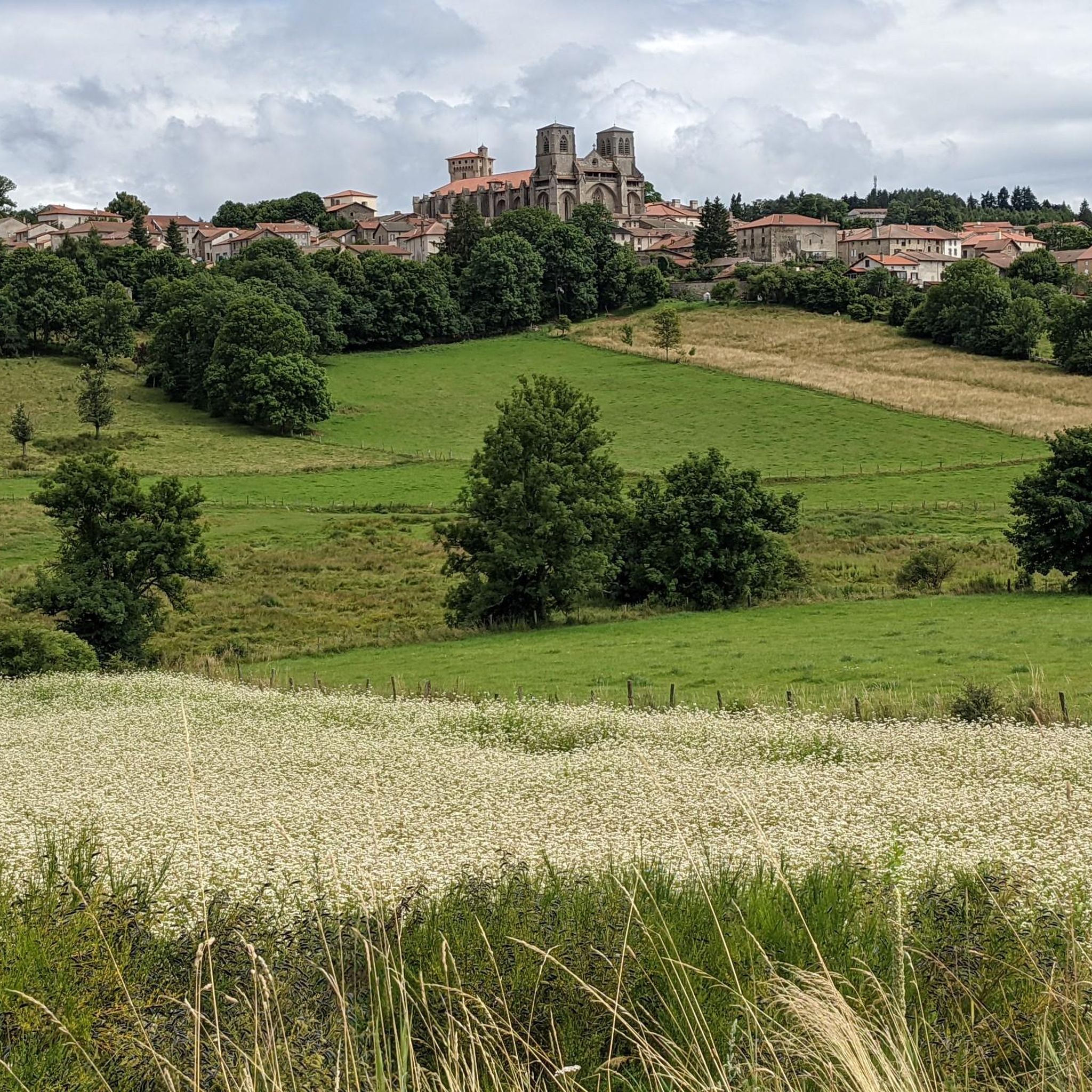
The abbey of La Chaise-Dieu is a former Benedictine abbey. It is a jewel of southern Gothic. Located in the village of La Chaise-Dieu, it was built during the 11th century. The complex is made up of several buildings gathered around a cloister. Complete visits are organized. Information can be found here: https://www.abbaye-chaise-dieu.com/visites/
0
0

The village of La Chaise-Dieu is nestled on a granite promontory, more than 1000 meters above sea level. Saint-Robert Abbey and its Sacred Music Festival are worth the detour.
1
0

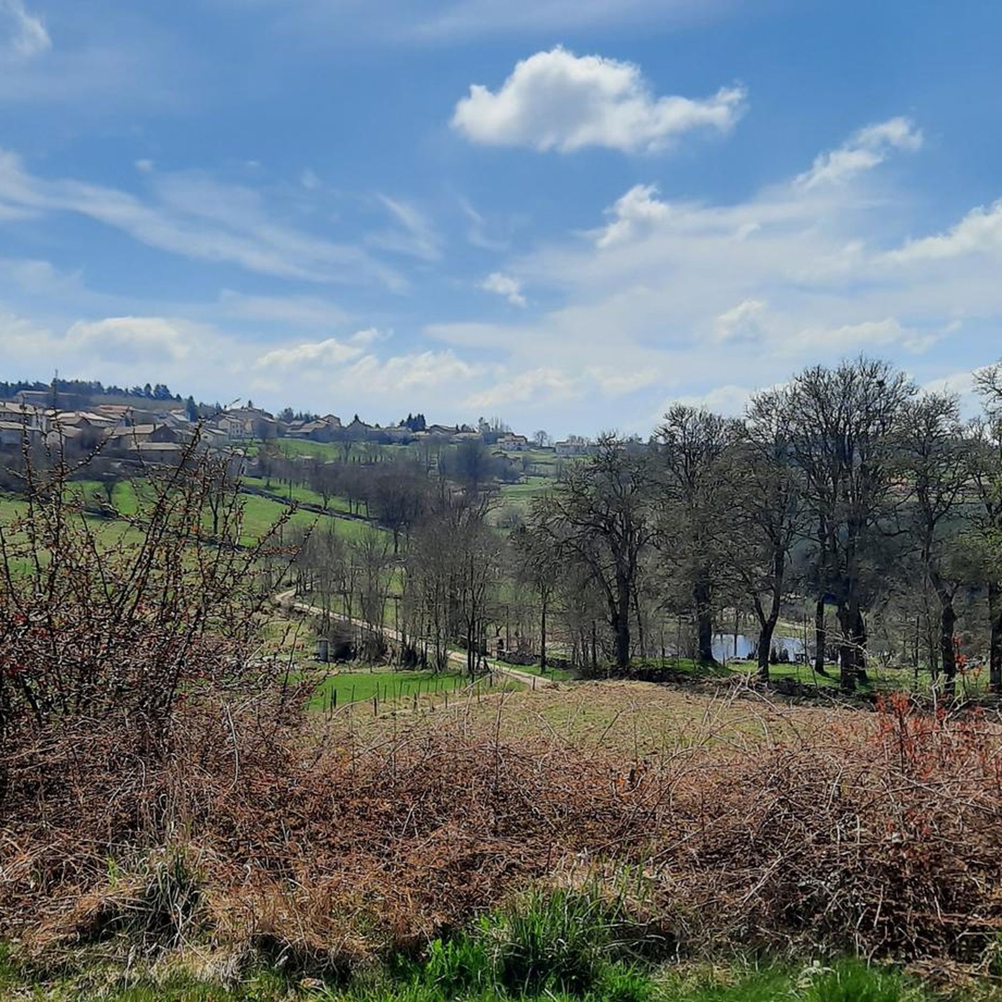
Issandolanges is an atypical place: the first habitats date back to the Merovingian era, until it became a real village, but the site was abandoned quite recently since its last inhabitant left it in 1924.
0
0

A must see with a beautiful view when arriving in the village.
0
0

Frequently Asked Questions
How many hiking trails are available in Mayres?
Mayres offers a wide array of hiking trails, with over 60 routes documented. These range from easy strolls to more demanding treks, catering to various fitness levels within the Monts d'Ardèche Regional Natural Park.
What kind of terrain can I expect when hiking around Mayres?
The terrain around Mayres is highly diverse due to its volcanic origins and mountainous setting. You'll encounter basaltic formations, river valleys carved by the Ardèche, and a transition from Mediterranean vegetation to dense chestnut and beech forests at higher elevations. Expect significant elevation changes, especially on trails leading to viewpoints.
Are there any easy hiking trails suitable for beginners or families?
Yes, Mayres has over 20 easy hiking routes. Many of these are well-marked and maintained, offering pleasant walks with minimal elevation gain. A small, family-friendly walk leads to the Passerelle du Passadou, which is a great option for a relaxed outing.
Where can I find challenging hikes with significant elevation gain?
For those seeking a challenge, Mayres offers two difficult routes. The ascent to Rocher d'Abraham, the highest point in the municipality at 1498 meters, is a demanding hike that takes over four hours but rewards with panoramic 360-degree views of the Monts d'Ardèche.
What are some notable natural features or landmarks to see while hiking?
Hikers can discover several unique features. The region is known for its volcanic landscapes, including impressive basaltic organs. The Ardèche River flows through the area, with the historic Travers Bridge (Malbos Bridge) being an iconic structure. The Rocher d'Abraham offers stunning views, and the Ray-Pic waterfall, an exceptional volcanic site and UNESCO Geosite, is a must-see with its 20-kilometer basaltic flow.
Are there any circular hiking routes in Mayres?
Yes, many trails around Mayres are designed as loops. For example, the Rocher d'Abraham Loop Trail is a difficult 7.7-mile circuit offering extensive views. Another option is the Saint-Robert Abbey Church – Dance Macabre Mural loop from La Chaise-Dieu, which is a moderate 6.8-mile path that also passes historical sites.
What is the best time of year to go hiking in Mayres?
Mayres offers hiking opportunities throughout the year. Spring and autumn provide pleasant temperatures and vibrant scenery, with the changing colors of the chestnut and beech forests. Summer is ideal for combining hikes with natural bathing spots in the Ardèche River. Even winter offers possibilities, with cross-country skiing nearby at La Chavade Bel Air.
What do other hikers enjoy most about hiking in Mayres?
The hiking experiences in Mayres are highly rated by the komoot community, with an average score of 4.3 stars from over 60 reviews. Hikers often praise the diverse landscapes, from volcanic features to lush forests, and the well-marked trails that cater to various difficulty levels. The panoramic views from higher points are also frequently highlighted.
Are there any historical sites or attractions near the hiking trails?
Yes, several historical sites and attractions can be explored. The Issandolanges Ruins are accessible via routes like the Issandolanges Ruins – Bridge Over the Dolore River loop from Suc de Riols. The Saint-Médard Chapel and the ruins of Montlaur castle can also be discovered on certain loops, offering a glimpse into the region's past.
Are there any specific trails that explore the region's famous chestnut groves?
Yes, the area is known for its vast chestnut groves. Trails around the 'Buisson' and 'Peyralade-Montlaur' areas specifically explore these groves, allowing hikers to experience this characteristic vegetation of the Ardèche region.
What are some of the longer hiking options available?
For longer excursions, the 'Les Trois Vallées' Footpath is a thrilling 51km trail that passes through Mayres, allowing for extensive exploration of the Lignon, Fontaulière, and Ardèche valleys. Individual routes like the Issandolanges – loop starting from Novacelles – Livradois-Forez Regional Natural Park cover over 11 km, offering a substantial day hike.
Most popular attractions around Mayres

Get inspired with the komoot mobile app


Explore more
Browse the best Hikes in other regions.
