The best walks and hikes around La Renaudie
4.6
(310)
1,992
hikers
155
hikes
Hiking around La Renaudie offers diverse landscapes within the Parc Naturel Régional Livradois-Forez, with altitudes ranging from 680 to 1,202 meters. The region features montane forests and varied topography, providing dynamic environments for exploration. High moorlands, known as the Hautes Chaumes du Forez, offer expansive views. Numerous rivers and streams, such as the Ruisseau de la Faye and Ruisseau de Gérize, are also present.
Best hiking trails around La Renaudie
- The most popular hiking route is Wine fountain loop from…
Last updated: July 11, 2026
4.6
(8)
26
hikers
7.46km
02:18
270m
270m
Moderate hike. Good fitness required. Easily-accessible paths. Suitable for all skill levels.
11
hikers
16.5km
05:02
600m
600m
Hard hike. Very good fitness required. Easily-accessible paths. Suitable for all skill levels.

Sign up for free
4.0
(1)
10
hikers
6.57km
02:06
280m
280m
Moderate hike. Good fitness required. Easily-accessible paths. Suitable for all skill levels.
3.8
(5)
9
hikers
4.84km
01:34
220m
220m
Easy hike. Great for any fitness level. Easily-accessible paths. Suitable for all skill levels.
4.5
(2)
8
hikers
7.11km
02:13
270m
270m
Moderate hike. Good fitness required. Easily-accessible paths. Suitable for all skill levels.
Get access to more routes and recommendations from other explorers.
Sign up for free
Already have an account?
Our route recommendations are based on thousands of hikes, rides, and runs completed by other people on komoot.
Start today with a free account
Your next adventure awaits.
Login or Signup
Tips from the Community

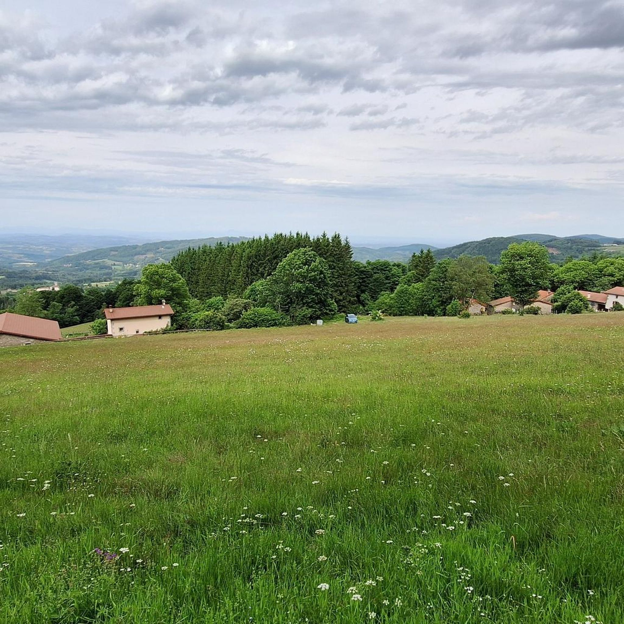
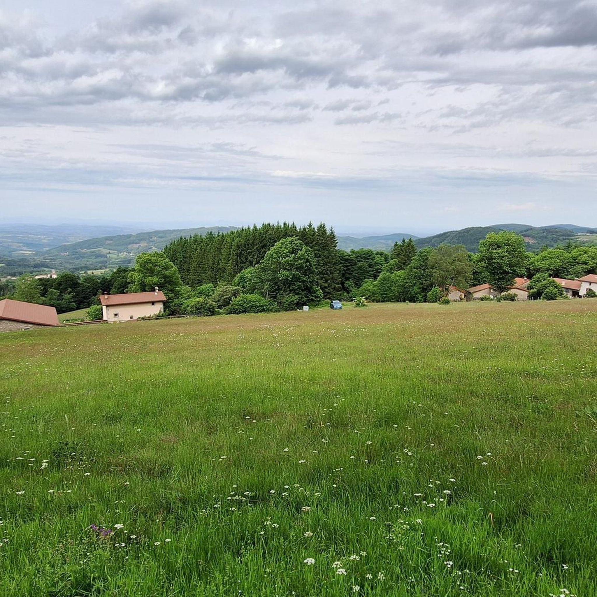
This path lives up to its name, especially in spring when the meadows it crosses are adorned with their most beautiful colors.
0
0

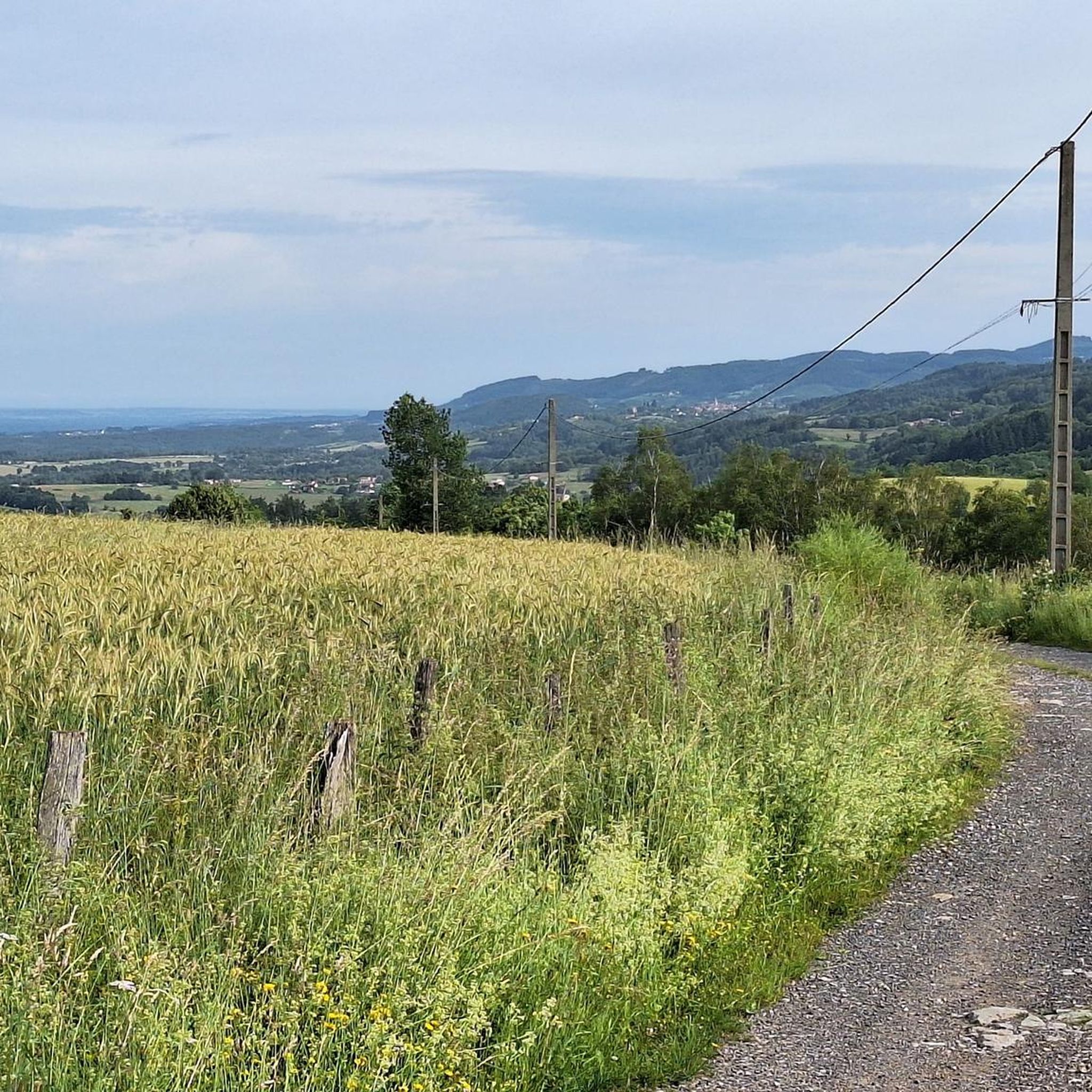
Very nice viewpoint overlooking the valley
0
0

Charming mountain village with a lovely view of the surrounding hills.
0
0

Located at 1,110 meters on the heights of Noirétable, the sanctuary of Notre-Dame de l’Hermitage is a reception site (pilgrims, visitors, tourists) managed by the congregation of the sisters of Notre-Dame de la Salette.
0
0

At the entrance to Livradois-Forez, the Col du Reculon peaks at an altitude of 1,152 meters. Very popular with cyclists, it is also popular with hikers who walk the GR 3.
1
0
The sanctuary of Notre-Dame de l'Hermitage is a magnificent religious site which welcomes hikers and pilgrims, walking on the GR 3 or the paths which lead to Compostela. Throughout the year, the sanctuary is inhabited by the community of the Congregation of the Sisters of Notre Dame de la Salette which ensures the spirituality of the place.
1
0

The La Chamba Recoil Pass is 1.7 km long with a total drop of 71 m. The average slope is 5% with maximum slopes of 10% towards the summit.
1
0

Small village part of the Livradois-Forez regional natural park Beautiful church to see
0
0
Frequently Asked Questions
How many hiking trails are available in La Renaudie?
La Renaudie offers a wide selection of hiking opportunities, with over 140 routes available for exploration. These range from easy strolls to more challenging treks, catering to various fitness levels.
What kind of terrain can I expect when hiking in La Renaudie?
You'll encounter diverse terrain in La Renaudie, characterized by montane forests and varied topography, with altitudes ranging from 680 to 1,202 meters. The region features high moorlands known as the Hautes Chaumes du Forez, offering expansive views, as well as scenic river valleys with streams like the Ruisseau de la Faye and Ruisseau de Gérize.
What natural landmarks or viewpoints can I discover while hiking in La Renaudie?
Hikers can enjoy stunning natural landmarks and panoramic viewpoints. The Hautes Chaumes du Forez provide majestic vistas of the Alps, Mont-Blanc, the Massif Central, and the iconic Puy de Dôme. Specific points of interest include the Béal Pass and Pierre Pamole, both offering memorable sights.
Are there easy hiking options suitable for beginners or families in La Renaudie?
Yes, La Renaudie has numerous easy hiking options. For instance, the Cooling in the water loop from Le Brugeron is an easy 4.8 km trail, often completed in about 1 hour 30 minutes. The region offers 46 easy routes, perfect for a relaxed outing with family.
Are there any circular hiking routes in La Renaudie?
Many trails in La Renaudie are designed as circular routes, allowing you to start and end at the same point. Examples include the popular Wine fountain loop from Vollore-Montagne and the Col du reculon – Col du Reculon loop from La Chamba, both offering engaging experiences.
What do other hikers say about the trails in La Renaudie?
The trails in La Renaudie are highly regarded by the komoot community, boasting an average rating of 4.6 stars from over 270 reviews. Hikers frequently praise the diverse landscapes, from montane forests to high moorlands, and the well-maintained paths that make exploration enjoyable.
Can I bring my dog on the hiking trails in La Renaudie?
While specific regulations can vary by trail, generally, dogs are welcome on many hiking trails in the Parc Naturel Régional Livradois-Forez, provided they are kept on a leash. It's always a good idea to check local signage or park guidelines for any specific restrictions on individual routes.
Are there any trails that feature water bodies like rivers or streams?
Absolutely. The region is crisscrossed by various water bodies, including the Ruisseau de la Faye and the Ruisseau de Gérize. The 'Circuit des Ponts' is a notable route that leads past picturesque stone bridges over local streams, offering a charming experience.
How can I access the trailheads in La Renaudie, and is parking available?
Many trails in La Renaudie are accessible from villages and hamlets within the region, such as Le Brugeron or Vollore-Montagne. While specific parking information varies by trailhead, generally, you can find parking areas near the starting points of popular routes. Public transport options are limited, so driving is often the most convenient way to reach trailheads.
What is the best time of year to go hiking in La Renaudie?
La Renaudie offers hiking opportunities throughout the year, with each season providing a unique experience. Spring and autumn bring vibrant colors and pleasant temperatures, ideal for longer treks. Summer is perfect for enjoying the high moorlands, while winter transforms the landscape for activities like Nordic skiing, suggesting that some trails may be suitable for snowshoeing or winter walks.
Are there any longer, more challenging hikes for experienced hikers?
Yes, for experienced hikers seeking a challenge, La Renaudie offers several difficult routes. An example is The Brugeron Tour loop from Le Brugeron, a moderate 15.97 km (9.9 miles) trail with significant elevation gain, providing a rewarding experience through varied terrain.
Most popular attractions around La Renaudie

Get inspired with the komoot mobile app


Explore more
Browse the best Hikes in other regions.
